Auesøya - Breivig
Natural harbour

Region: Norway (3434), Agder (283), Aust-Agder (149), Lillesand (46) and Grimstad (28)

Descriptions and reviews
Dan Mossmann says:
says:
description
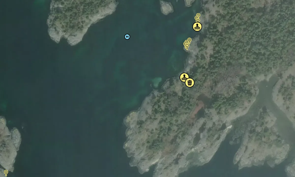
I denne bukta ligger en godt i le for øst- og sydlige vinder.
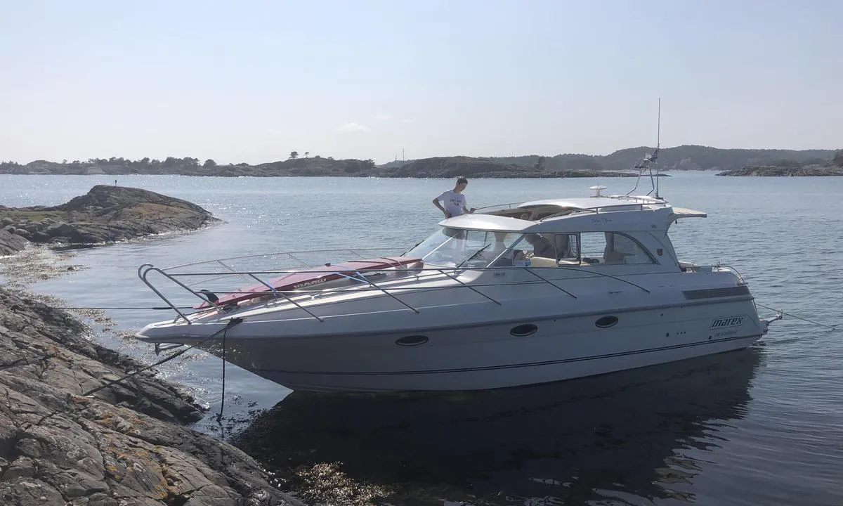
Innerst har en to odder hvor det er tilrettelagte plasser hvor en kan fortøye på bolter i fjell.
Ellers kan en ligge på mye av svaberget på styrbord side her inne.
Midt i bukta, litt om styrbord, ligger en grunne på 1,1 meter.
Jurist og dommerfullmektig Henrik Lundh (1905-85) var bekymret over at folk i distriktet solgte fine strandsteder til ”rike østlendinger” og kjøpte derfor denne øya som han testamenterte til kommunen med forutsetninger om å opprettholde landskapet gjennom vern og skjøte området med bl.a. kulturbeite. Området skulle sikres til bruk for allmennheten.
Flotte turstier på øya med sin mangfoldige flor og fauna.
Gravhauger ligger strategisk plassert langs den gamle ro-leden som da gikk over Eidet lenger inne på øya.

1 x helpful | written on 16. Oct 2023 | updated_on 22. May 2025
Do you know this harbour? It's a huge help to other sailors if you add a short description or review of the harbour.
Map of Auesøya - Breivig

Wind protection
Protection next night
88 points


Want to know how the wind score works? Then you should read this explanation.
The wind forecasts come from yr.no (Norwegian Meteorological Institute), and was last updated 2 hours and 5 minutes ago (Tuesday 10 February 09:27 AM). The next night score shows you the worst hour between 22:00 and 08:00 the next night. We recommend that you check multiple sources for wind forecasts. windy.com is a good website to show larger wind systems.

The safe wind directions for this harbour has been decided by an algorithm, based on how elevated the land around the harbour is. It's mostly correct, but sometimes the underlying data about elevation levels is not good enough to make correct decisions. It's a great help to other if you can validate or adjust the safe wind directions. You can see the data used by the algorithm to decide the safe wind directions by clicking here.
Last visits to Auesøya - Breivig
Wed 30 Jul 2025 |
|
|
Mon 14 Jul 2025 |
|
|
Fri 12 Jul 2024 |
|
|
Sat 07 Oct 2023 |
|
|
The visits are retrieved from AIS data. You can click to see all visiting ships to Auesøya - Breivig, as well as statistics about the ships that visits
Add this harbour to a journey
Choose a different date than today
Important: When you check in to a harbour, you add it to a journey on this website. You are not booking a place in the marina.
Contributors
Users that contributed to this page: Dan Mossmann
harbourmaps.com is updated by the boating community. When you add information, a review or pictures to this page you are listed here with the other contributors (we list your user-name, which can be your real name or a pseudonym).
Closest harbours to Auesøya - Breivig
Filter by
Order by
0 harbours
Show more harbours


 SY ELVIRA [MMSI: 258252130]
 CORAZON [MMSI: 265769360]
 KIWI [MMSI: 211529680]