Buarøya
Natural harbour

Region: Norway (3433), Vestland (602), Hordaland (396), Øygarden (60), Lerøyna (5) and Klokkarvik (5)

Descriptions and reviews
Hans Petter Berge says:
area


maritime qualities


description
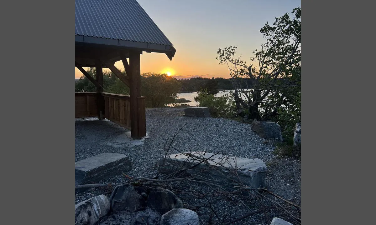
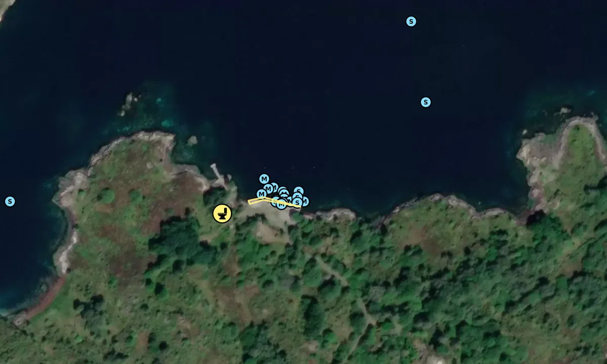
There is an outhouse on land. The Outdoor Recreation Board is constructing a Grindbygg on land in Nov 23. Be aware of shallow waters along the shore in the area. Regards, Hans Petter Beerge
[translated from Norwegian with AI]

2 x helpful | written on 17. Nov 2023
Anonymous sailor 1110 says:
says:
description
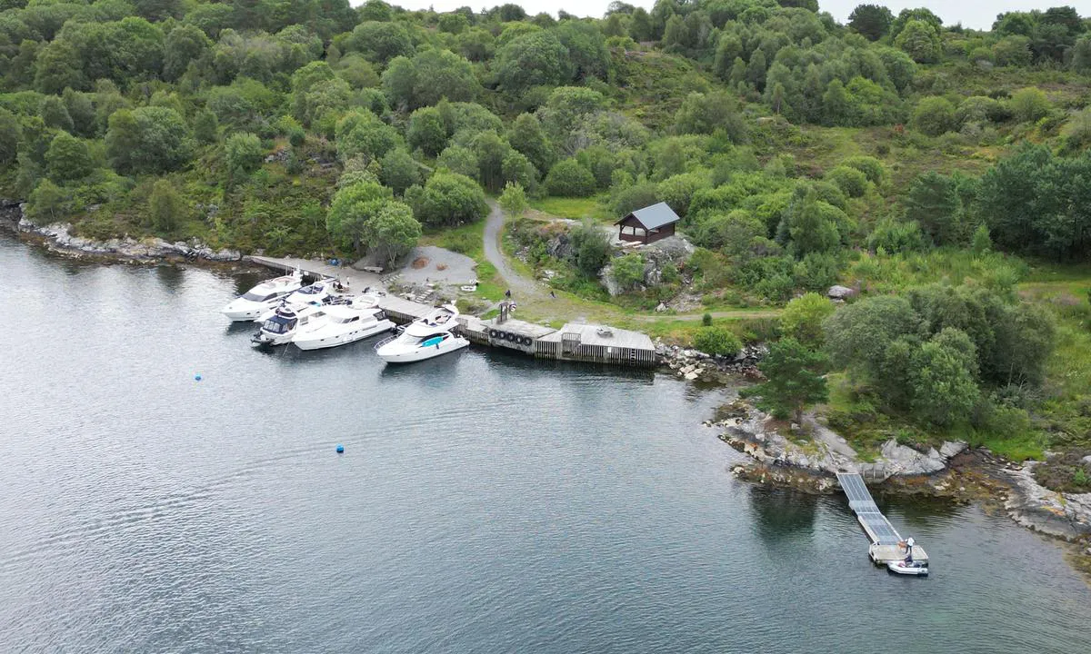
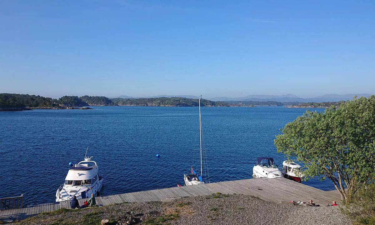
Approach and maritime conditions: Burøyna/Visterøy are connected and used to be a military installation. From the top of the islands, there is a beautiful view southward into Korsfjorden. The approach to the harbor on the north side of the island is well marked from both east and west. A scheduled boat passes through the sound at regular intervals.
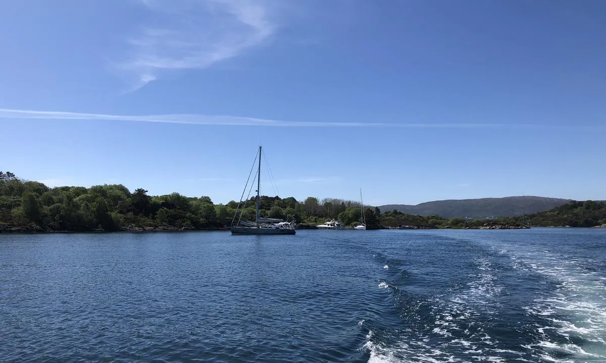
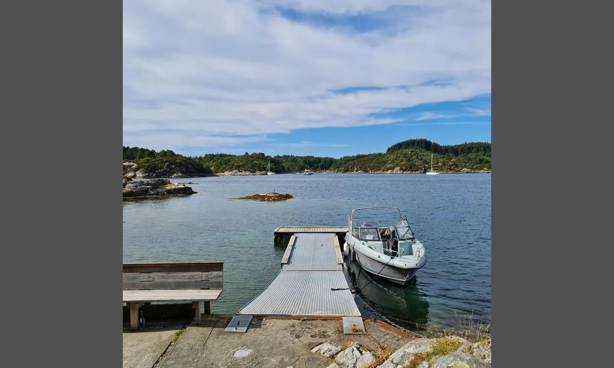
There are several beautiful and sheltered coves to moor in on the north side of the islands. Good depth for sailboats near the pier, but it shallows quickly toward the mountain. Larger sailboats lie best at anchor or at the main pier. On the north side of the sound, there are several beautiful coves with good depths.
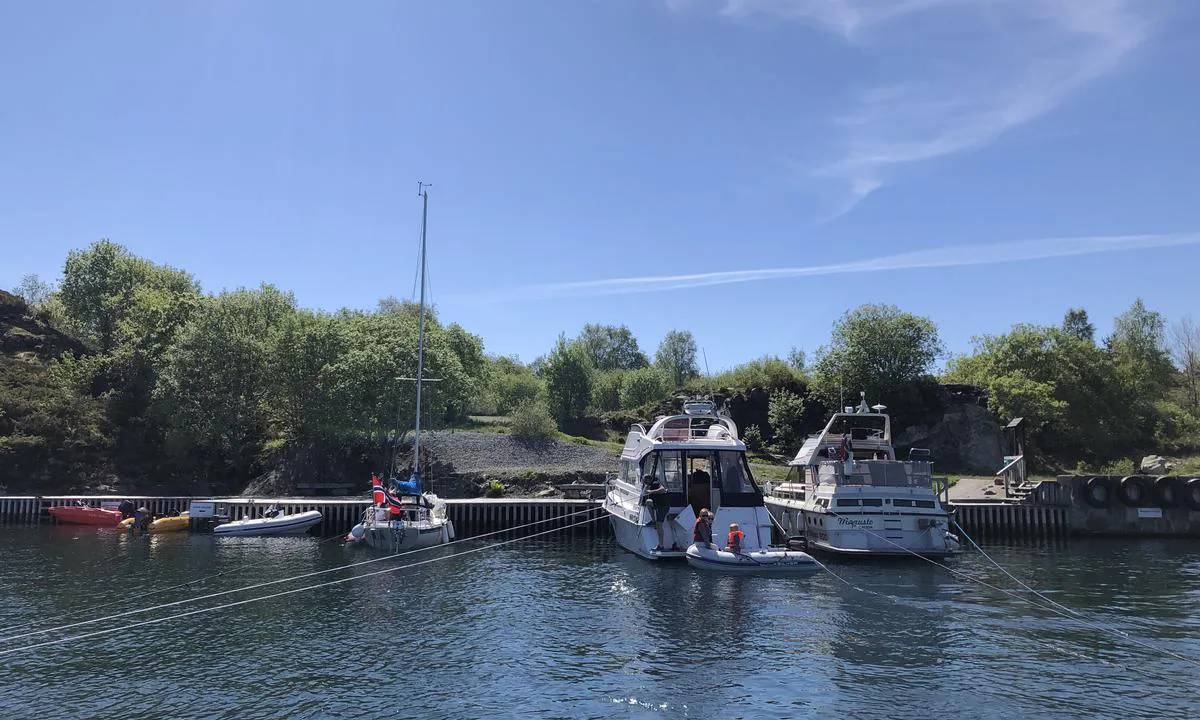
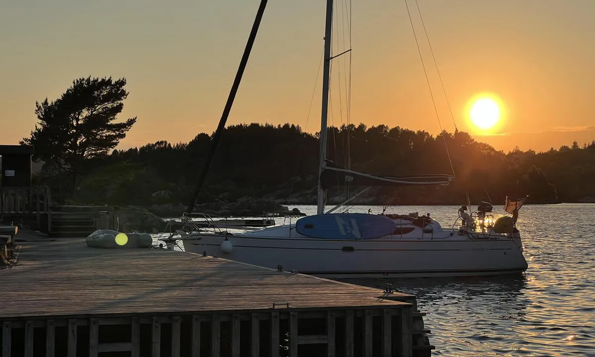
At the main quay, you should moor with the bow toward land (there are notices about this on the quay), and the stern with a rope on an outlaid buoy (4 pieces) so that there is room for as many boats as possible. Note that the buoys are quite far out, so you need fairly long ropes to use them.
Anchoring: Here there are several options for mooring, against a fine pier with bow mooring to fixed buoys, along a floating dock (mainly for kayaks), or against land with a stern anchor. In addition, there are excellent conditions for lying at anchor.
The Area: Beautiful barbecue spots and wooden pier, but there are neither trash bins nor outhouses here.
There are good opportunities for a walk around the islands with visits inside bunkers and military installations.
Exciting for both adults and children.
[translated from Norwegian with AI]

2 x helpful | written on 13. Jun 2021
Do you know this harbour? It's a huge help to other sailors if you add a short description or review of the harbour.
Map of Buarøya

Wind protection
Protection next night
93 points


Want to know how the wind score works? Then you should read this explanation.
The wind forecasts come from yr.no (Norwegian Meteorological Institute), and was last updated 1 hour and 57 minutes ago (Saturday 31 January 12:27 PM). The next night score shows you the worst hour between 22:00 and 08:00 the next night. We recommend that you check multiple sources for wind forecasts. windy.com is a good website to show larger wind systems.
The safe directions for this harbour was added at 18. Jul 2021. Click here to edit.
Last visits to Buarøya
Fri 13 Jun 2025 |
|
|
Tue 15 Apr 2025 |
|
|
Fri 20 Sep 2024 |
|
|
Fri 19 Jul 2024 |
|
|
Sat 13 Jul 2024 |
|
|
The visits are retrieved from AIS data. You can click to see all visiting ships to Buarøya, as well as statistics about the ships that visits
Add this harbour to a journey
Choose a different date than today
Important: When you check in to a harbour, you add it to a journey on this website. You are not booking a place in the marina.
Contributors
Users that contributed to this page: Wiljamji Hjoejoe'apu, Daniel Hägglund, Odd Tufte. S/Y Vindreken, bfu01, Steinar Norheim, Suse / SY Ronja, Christoffer Knutsen, Olav Pekeberg and Anonymous sailor 1110
harbourmaps.com is updated by the boating community. When you add information, a review or pictures to this page you are listed here with the other contributors (we list your user-name, which can be your real name or a pseudonym).
Closest harbours to Buarøya
Filter by
Order by
0 harbours
Show more harbours






 MARIE [MMSI: 258144970]
 ESTER [MMSI: 257612570]
 NOMAD [MMSI: 244110657]