


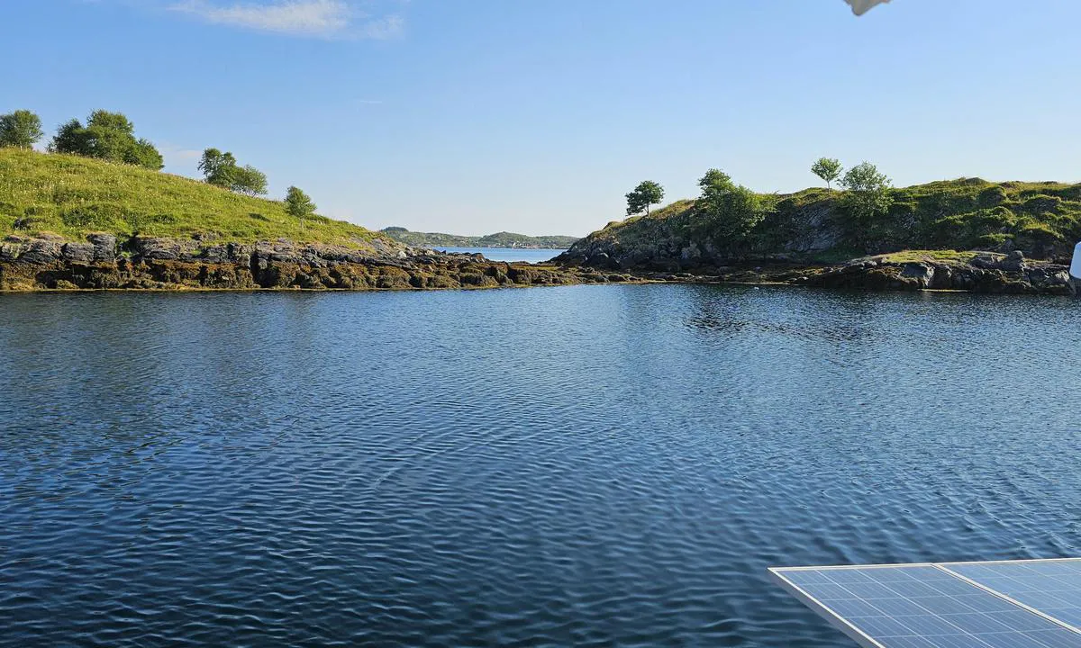
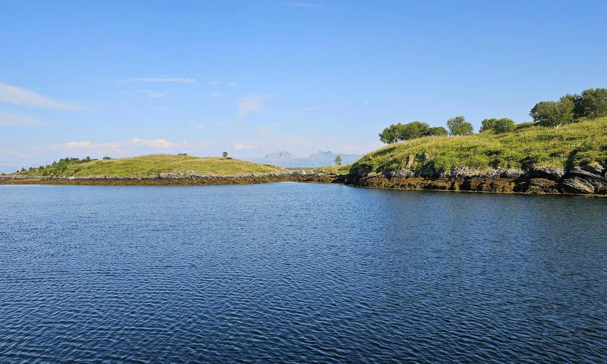
Forøya
Natural harbour

Region: Norway (3487), Nordland (680), Helgelandskysten (257), Vega (25) and Kirkøy (3)


Descriptions and reviews
TF-katt says:
area


maritime qualities
description
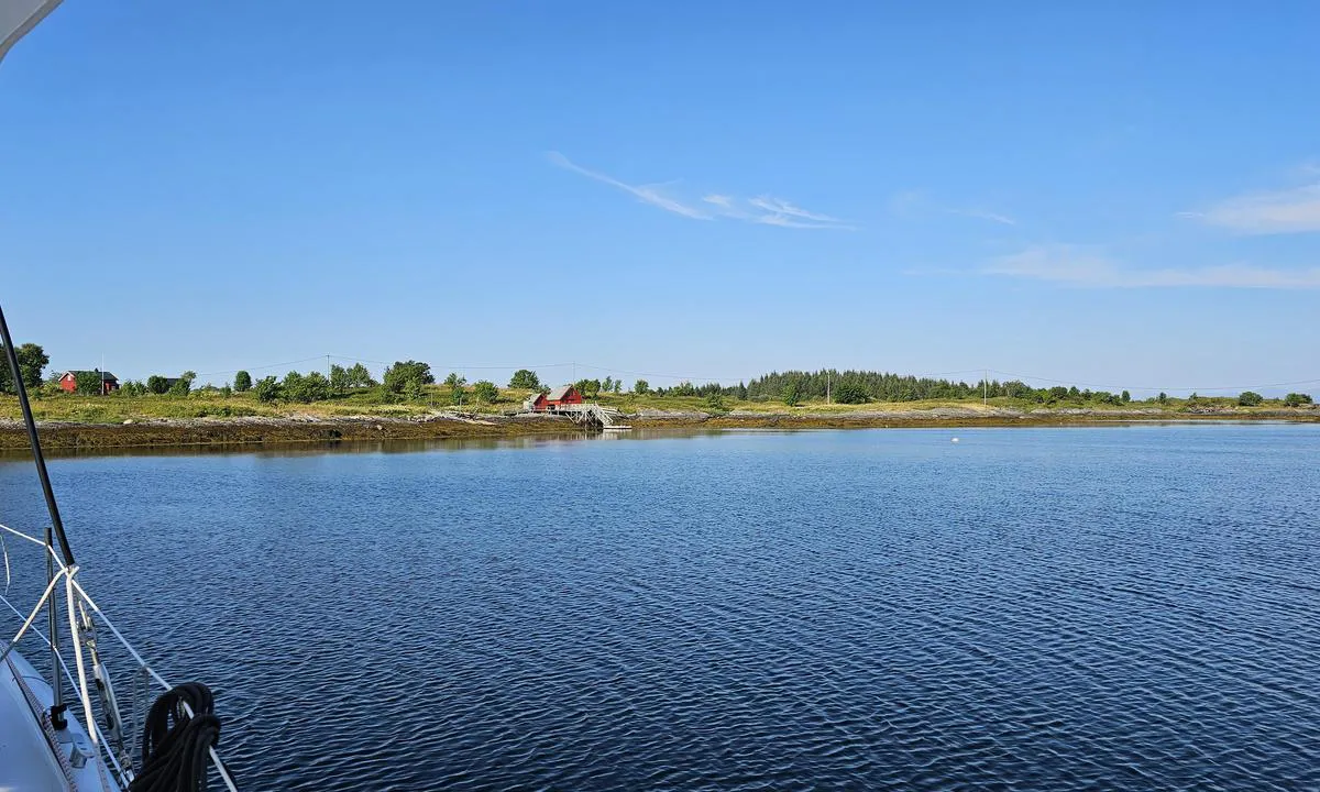
Ankringsbunnen ser ut til å være mudder/sand. Ankret er i sjøen enda, men ekkoloddet indikerer det. Selv synes jeg ankringsplassen er i trangeste laget, men egentlig ok. Jeg ankret litt utenfor 10 m koten.
Ankret kom opp med skjellsand.

1 x helpful | written on 24. Jul 2025 | updated_on 25. Jul 2025
Do you know this harbour? It's a huge help to other sailors if you add a short description or review of the harbour.
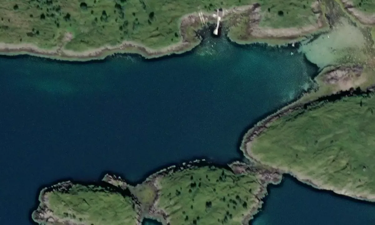
Map of Forøya

Wind protection
Protection next night
82 points


Want to know how the wind score works? Then you should read this explanation.
The wind forecasts come from yr.no (Norwegian Meteorological Institute), and was last updated 2 hours and 7 minutes ago (Wednesday 08 July 10:28 PM). The next night score shows you the worst hour between 22:00 and 08:00 the next night. We recommend that you check multiple sources for wind forecasts. windy.com is a good website to show larger wind systems.
The safe directions for this harbour was added at 24. Jul 2025. Click here to edit.
Last visits to Forøya
The visits are retrieved from AIS data. You can click to see all visiting ships to Forøya, as well as statistics about the ships that visits
Add this harbour to a journey
Choose a different date than today
Important: When you check in to a harbour, you add it to a journey on this website. You are not booking a place in the marina.
Contributors
Users that contributed to this page: TF-katt
harbourmaps.com is updated by the boating community. When you add information, a review or pictures to this page you are listed here with the other contributors (we list your user-name, which can be your real name or a pseudonym).
Closest harbours to Forøya
Filter by
Order by
0 harbours
Show more harbours
