


Descriptions and reviews
Dominig ar Foll says:
says:
area


maritime qualities
description
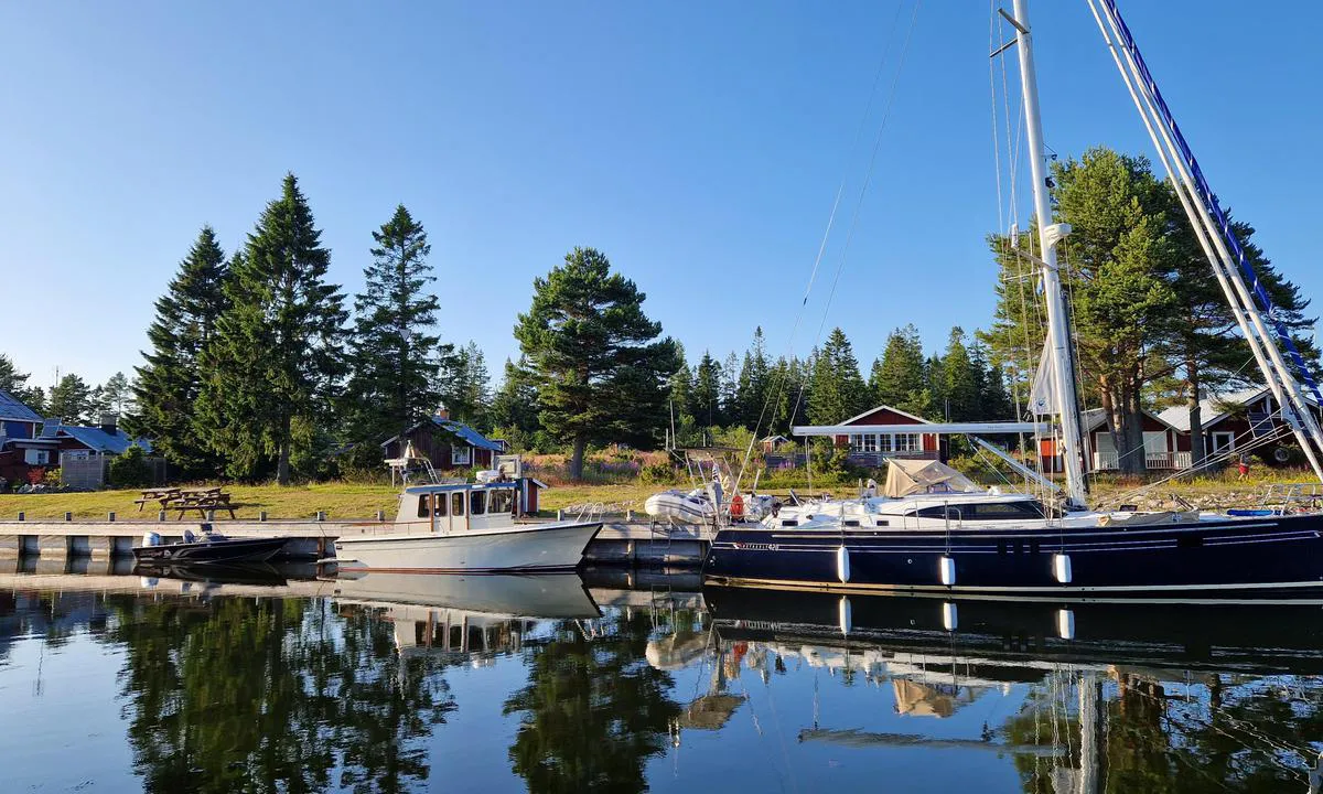
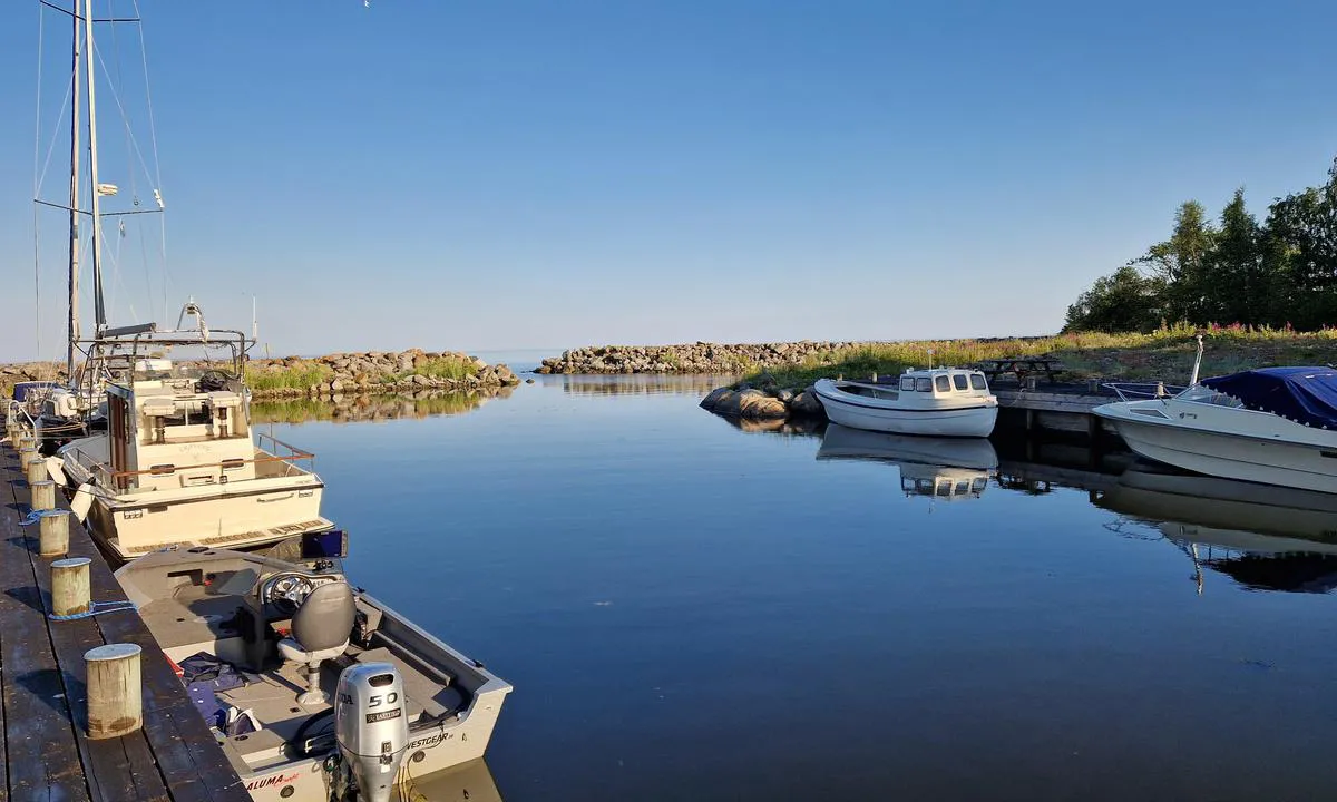
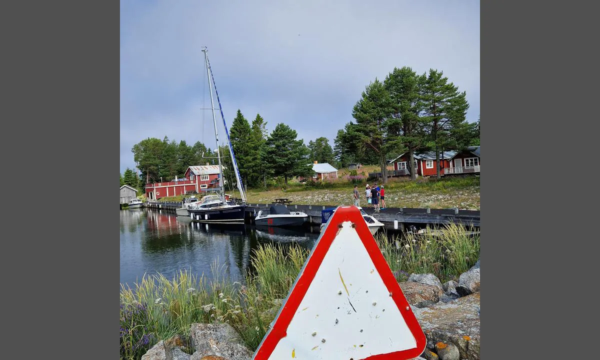
A lovely isolated island with good shelter but a tricky shallow access.
Checking a detailed local chart is highly advisable.
Draft over 1.6m should check the water level before attempting it.
The AIS Aton "Meteo 894" (MMSI 199400005) shows the water level not that far away (entrance of Sundsvalls fjord). A better than nothing indication.

1 x helpful | written on 21. Jul 2025
Do you know this harbour? It's a huge help to other sailors if you add a short description or review of the harbour.
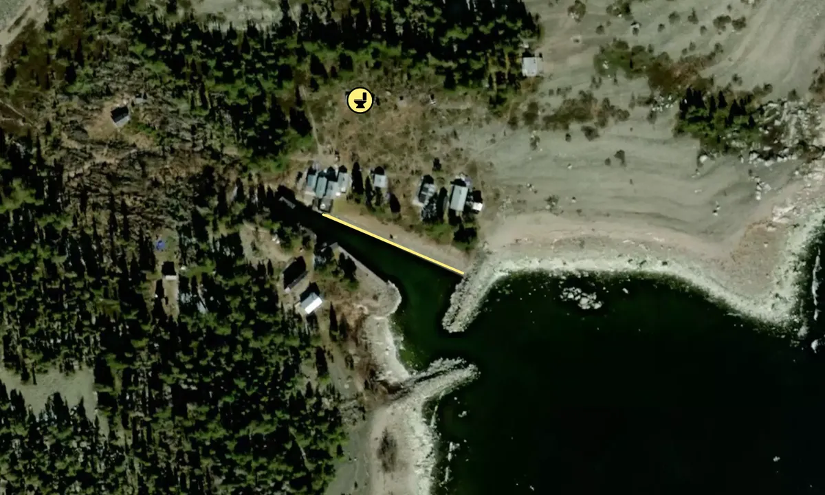
Map of Gran

Wind protection
Protection next night
88 points


Want to know how the wind score works? Then you should read this explanation.
The wind forecasts come from yr.no (Norwegian Meteorological Institute), and was last updated 1 hour and 25 minutes ago (Monday 22 June 03:27 PM). The next night score shows you the worst hour between 22:00 and 08:00 the next night. We recommend that you check multiple sources for wind forecasts. windy.com is a good website to show larger wind systems.
The safe directions for this harbour was added at 21. Jul 2025. Click here to edit.
Last visits to Gran
The visits are retrieved from AIS data. You can click to see all visiting ships to Gran, as well as statistics about the ships that visits
Add this harbour to a journey
Choose a different date than today
Important: When you check in to a harbour, you add it to a journey on this website. You are not booking a place in the marina.
Contributors
Users that contributed to this page: Dominig ar Foll
harbourmaps.com is updated by the boating community. When you add information, a review or pictures to this page you are listed here with the other contributors (we list your user-name, which can be your real name or a pseudonym).
Closest harbours to Gran
Filter by
Order by
0 harbours
Show more harbours
