


Descriptions and reviews
Tone Bakke says:
says:
area

maritime qualities
description
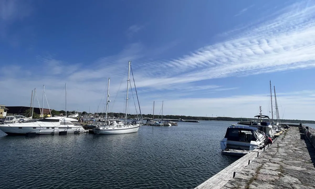
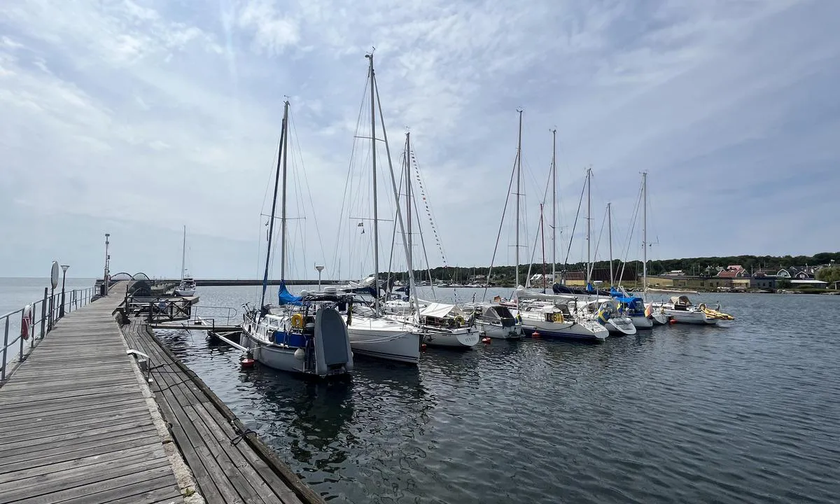
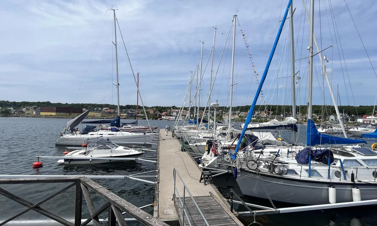
Very pleasant harbour and village! On the chart, the harbour is marked as quite shallow, but it must have been dredged. Boats that normally draft about 2 meters went all the way in. Diesel filling and a 'boat washing machine' are located at the very end of the harbour.
Friendly and good eatery on the quay. The fish and chips dish was very good!
[translated from Norwegian with AI]

1 x helpful | written on 25. Jun 2023
HarbourMaps (site admin) says:
description
Harbour depth: 2-3 m, Guest spots: 60 + red/green (70), Mooring: buoy/alongside
[translated from Swedish with AI]
0 x helpful | written on 14. Jul 2022
Do you know this harbour? It's a huge help to other sailors if you add a short description or review of the harbour.
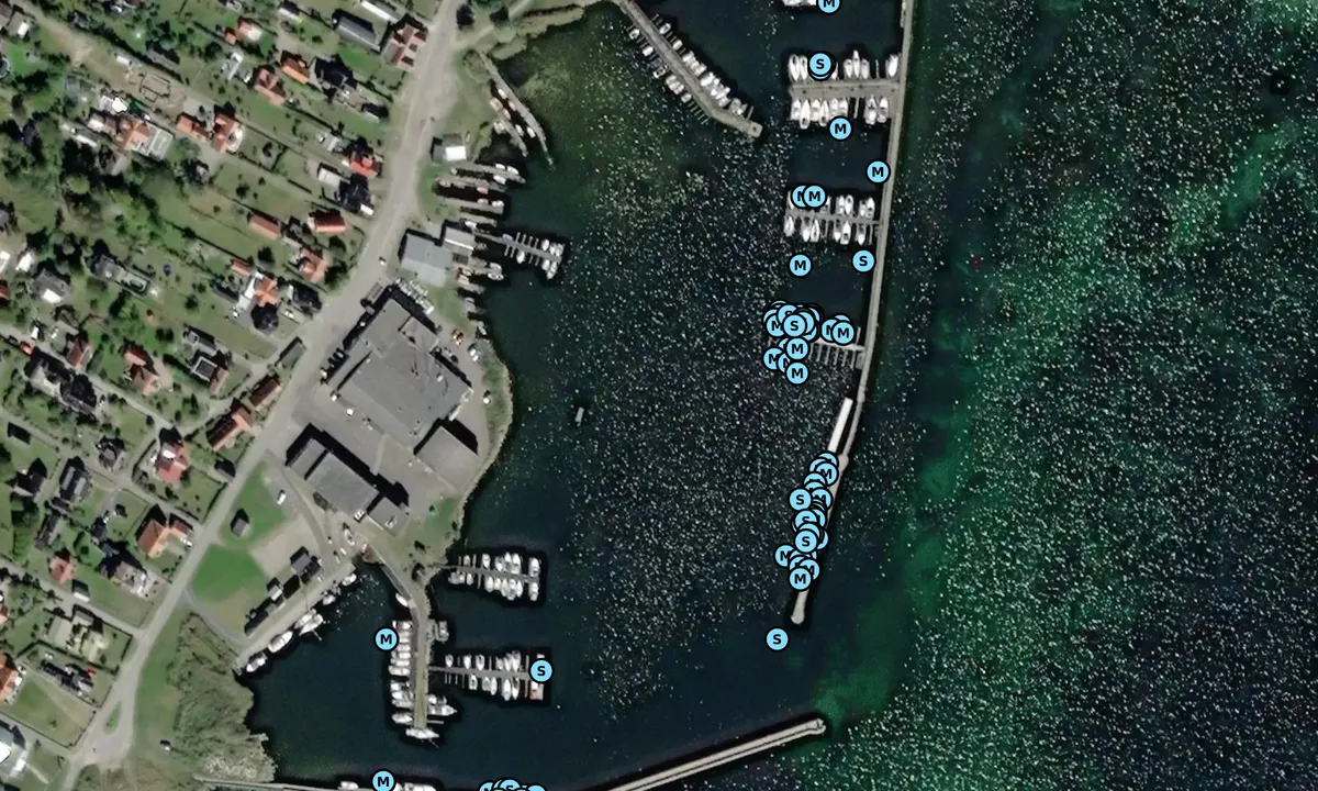
Map of Hällevik

Wind protection
Protection next night
86 points


Want to know how the wind score works? Then you should read this explanation.
The wind forecasts come from yr.no (Norwegian Meteorological Institute), and was last updated 2 hours and 7 minutes ago (Monday 16 June 06:28 PM). The next night score shows you the worst hour between 22:00 and 08:00 the next night. We recommend that you check multiple sources for wind forecasts. windy.com is a good website to show larger wind systems.
The safe directions for this harbour was added at 25. Jun 2023. Click here to edit.
Last visits to Hällevik
Sat 14 Jun 2025 |
|
|
Thu 12 Jun 2025 |
|
|
Fri 30 May 2025 |
|
|
Sun 25 May 2025 |
|
|
Mon 12 May 2025 |
|
|
 FUR ELISE [MMSI: 265037740]
 ELSA [MMSI: 265832840]
The visits are retrieved from AIS data. You can click to see all visiting ships to Hällevik, as well as statistics about the ships that visits
Add this harbour to a journey
Choose a different date than today
Important: When you check in to a harbour, you add it to a journey on this website. You are not booking a place in the marina.
Contributors
Users that contributed to this page: Tone Bakke
harbourmaps.com is updated by the boating community. When you add information, a review or pictures to this page you are listed here with the other contributors (we list your user-name, which can be your real name or a pseudonym).
Closest harbours to Hällevik
Filter by
Order by
0 harbours
Show more harbours
