


Descriptions and reviews
Odd Terje Heimen says:
says:
description
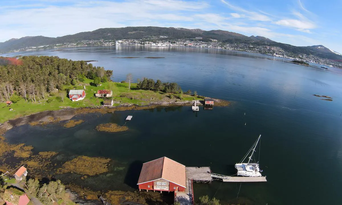
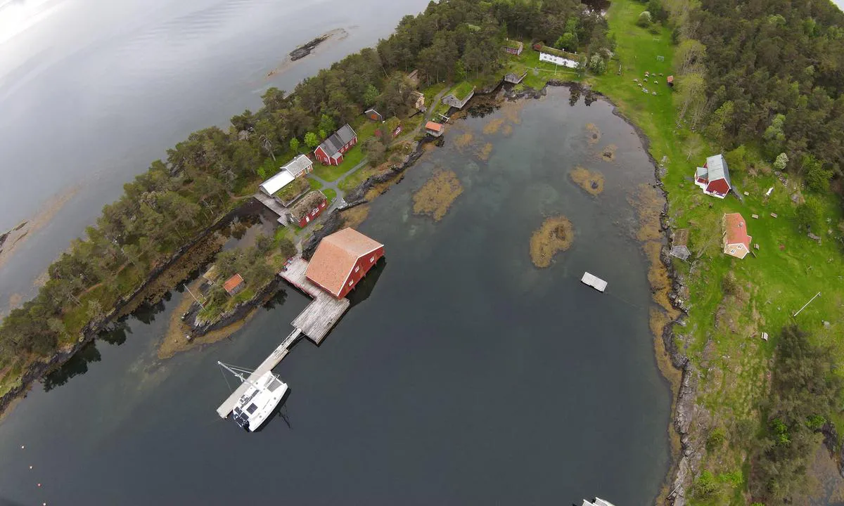
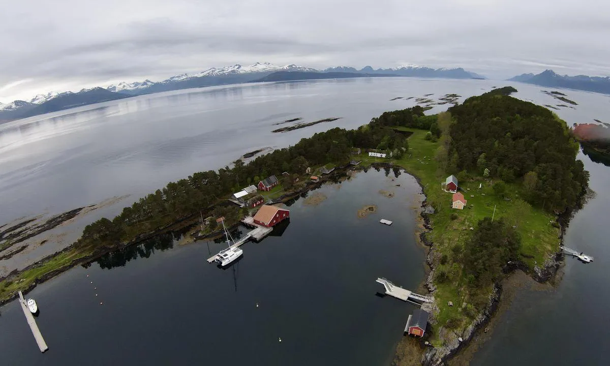
Approach and maritime conditions: Well-marked approach from the north. Sailboats can enter, but they usually dock at the Seilerhytta.
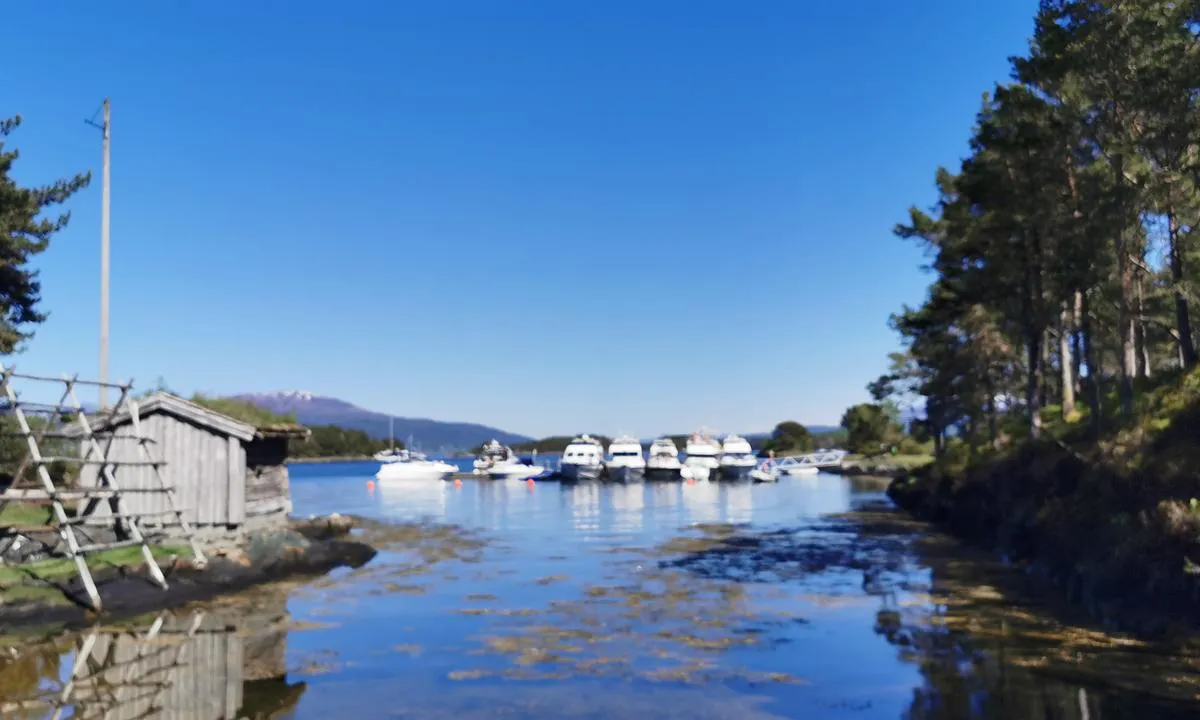
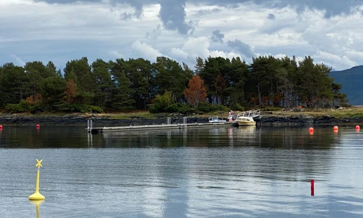
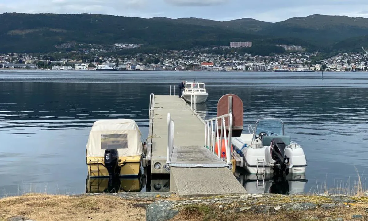
Berthing: Concrete dock 40 meters long. Depth of more than 4 meters. Preferably stern-to-mooring on both sides with the bow towards the mooring buoys. Hjertøya is Molde's jewel in the fjord. Museum, playground, hiking trails, diving tower.
The area: Lots to do on Hjertøya
[translated from Norwegian with AI]

2 x helpful | written on 3. Jun 2021
Do you know this harbour? It's a huge help to other sailors if you add a short description or review of the harbour.
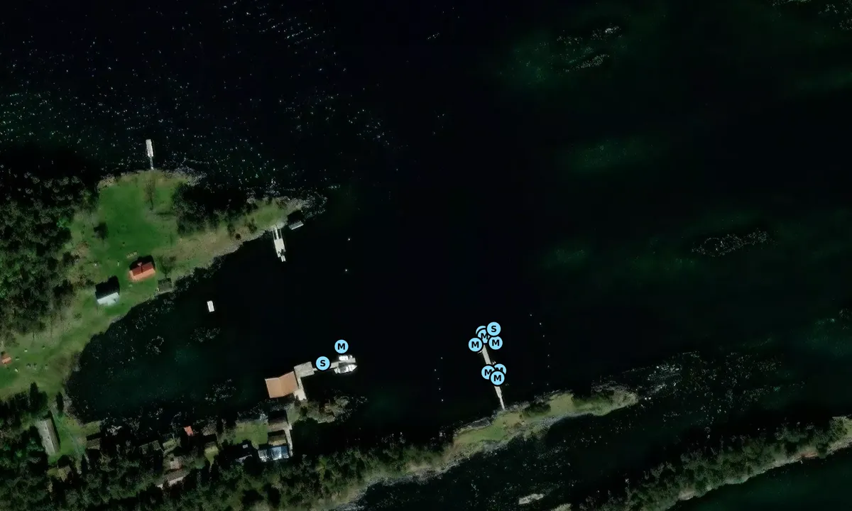
Map of Hjertøya Betongbrygge

Wind protection
Protection next night
93 points


Want to know how the wind score works? Then you should read this explanation.
The wind forecasts come from yr.no (Norwegian Meteorological Institute), and was last updated 1 hour and 49 minutes ago (Thursday 09 July 11:28 PM). The next night score shows you the worst hour between 22:00 and 08:00 the next night. We recommend that you check multiple sources for wind forecasts. windy.com is a good website to show larger wind systems.
The safe directions for this harbour was added at 3. Jun 2021. Click here to edit.
Last visits to Hjertøya Betongbrygge
Wed 24 Jun 2026 |
|
|
Fri 12 Jun 2026 |
|
|
Thu 28 May 2026 |
|
|
Fri 15 May 2026 |
|
|
|
|
 KARITO [MMSI: 258130080]
 THALIA [MMSI: 257350640]
The visits are retrieved from AIS data. You can click to see all visiting ships to Hjertøya Betongbrygge, as well as statistics about the ships that visits
Add this harbour to a journey
Choose a different date than today
Important: When you check in to a harbour, you add it to a journey on this website. You are not booking a place in the marina.
Contributors
Users that contributed to this page: HarbourMaps (site admin), Berry Spruijt, Den enbeinte skipper and Odd Terje Heimen
harbourmaps.com is updated by the boating community. When you add information, a review or pictures to this page you are listed here with the other contributors (we list your user-name, which can be your real name or a pseudonym).
Closest harbours to Hjertøya Betongbrygge
Filter by
Order by
0 harbours
Show more harbours
