


Descriptions and reviews
Jan Halstein Haugnes says:
says:
area


maritime qualities
description
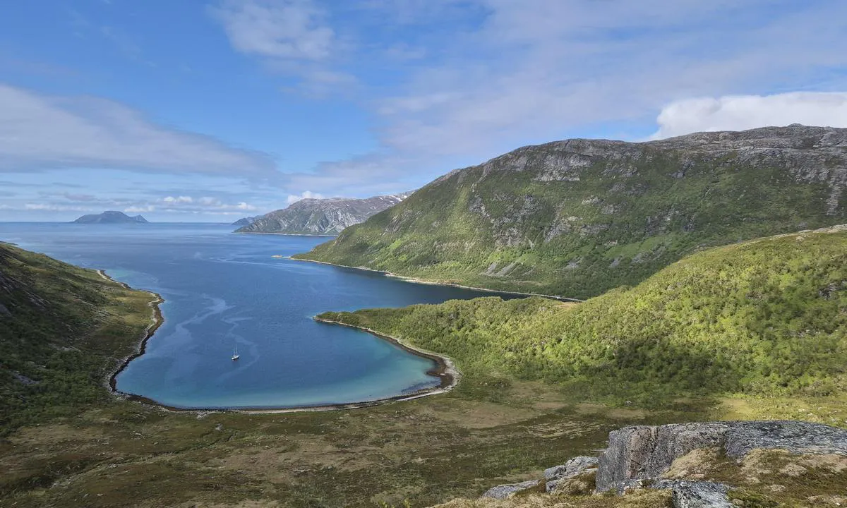
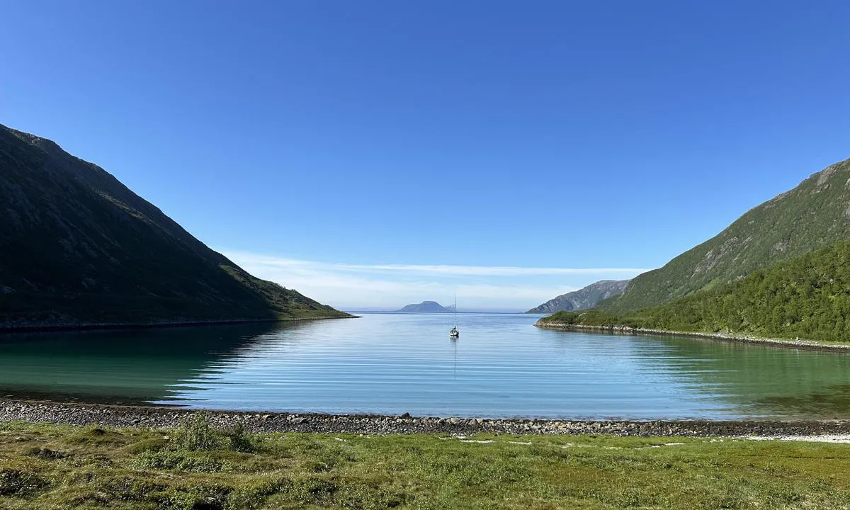
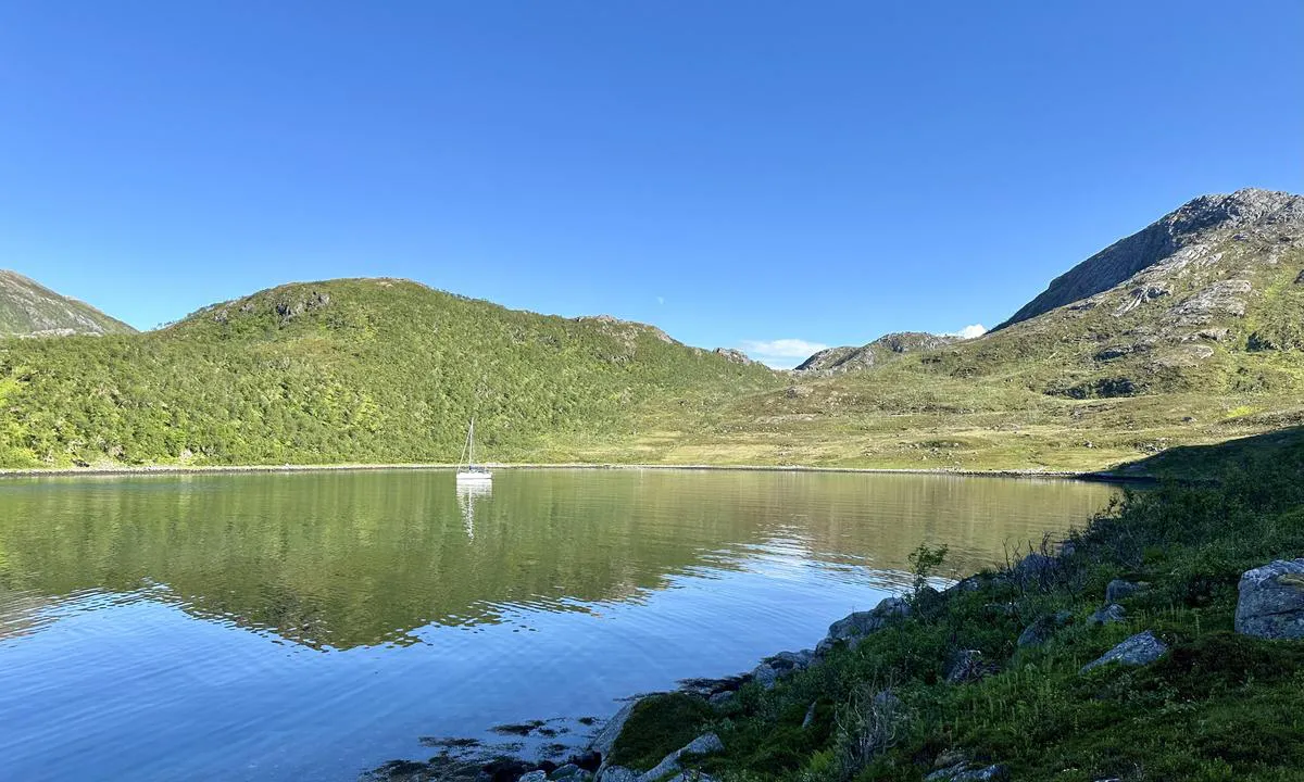
Not marked as an anchorage on the chart, Anchored at about 15 meters, good hold when I needed to get the anchor loose. The sun disappears behind the mountain in the evening. Nice hiking trail on land.
[translated from Norwegian with AI]

1 x helpful | written on 4. Jul 2024
Do you know this harbour? It's a huge help to other sailors if you add a short description or review of the harbour.
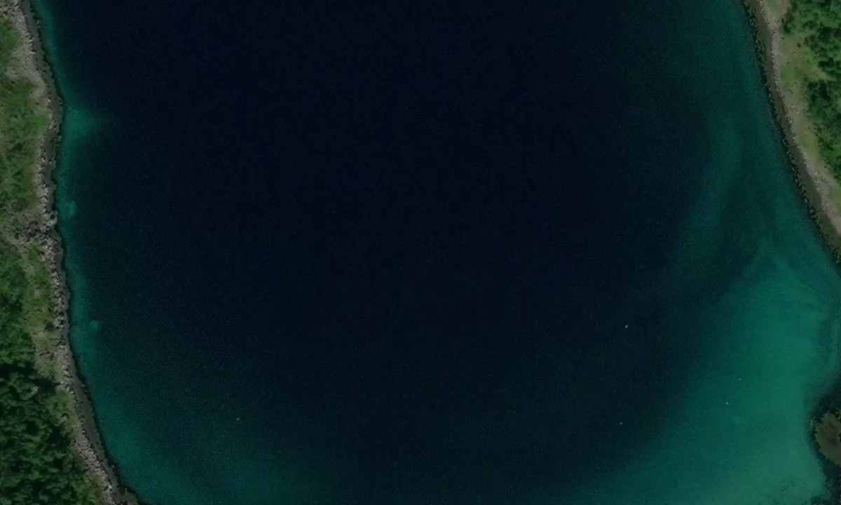
Map of Kifjorden

Wind protection
Protection next night
89 points


Want to know how the wind score works? Then you should read this explanation.
The wind forecasts come from yr.no (Norwegian Meteorological Institute), and was last updated 1 hour and 17 minutes ago (Monday 22 June 12:27 PM). The next night score shows you the worst hour between 22:00 and 08:00 the next night. We recommend that you check multiple sources for wind forecasts. windy.com is a good website to show larger wind systems.
The safe directions for this harbour was added at 4. Jul 2024. Click here to edit.

Kifjorden is surrounded by high hills or mountains. When strong winds come from the mountainous side there is a risk of turbulent or katabatic winds (also called "fall winds"), which may be rather unpleasant. In such conditions, you should not rely on the wind protection score for the coming night. Click to edit.
Last visits to Kifjorden
The visits are retrieved from AIS data. You can click to see all visiting ships to Kifjorden, as well as statistics about the ships that visits
Add this harbour to a journey
Choose a different date than today
Important: When you check in to a harbour, you add it to a journey on this website. You are not booking a place in the marina.
Contributors
Users that contributed to this page: Journey of Jera and Jan Halstein Haugnes
harbourmaps.com is updated by the boating community. When you add information, a review or pictures to this page you are listed here with the other contributors (we list your user-name, which can be your real name or a pseudonym).
Closest harbours to Kifjorden
Filter by
Order by
0 harbours
Show more harbours
