Show off your photos and help others plan their journey to Köpmannehamn.harbourmaps.com is created by the sailing community, in a collective effort to make cruising simpler and more fun. Uploading a photo takes less than a minutes and can be done from your phone, tablet or laptop.
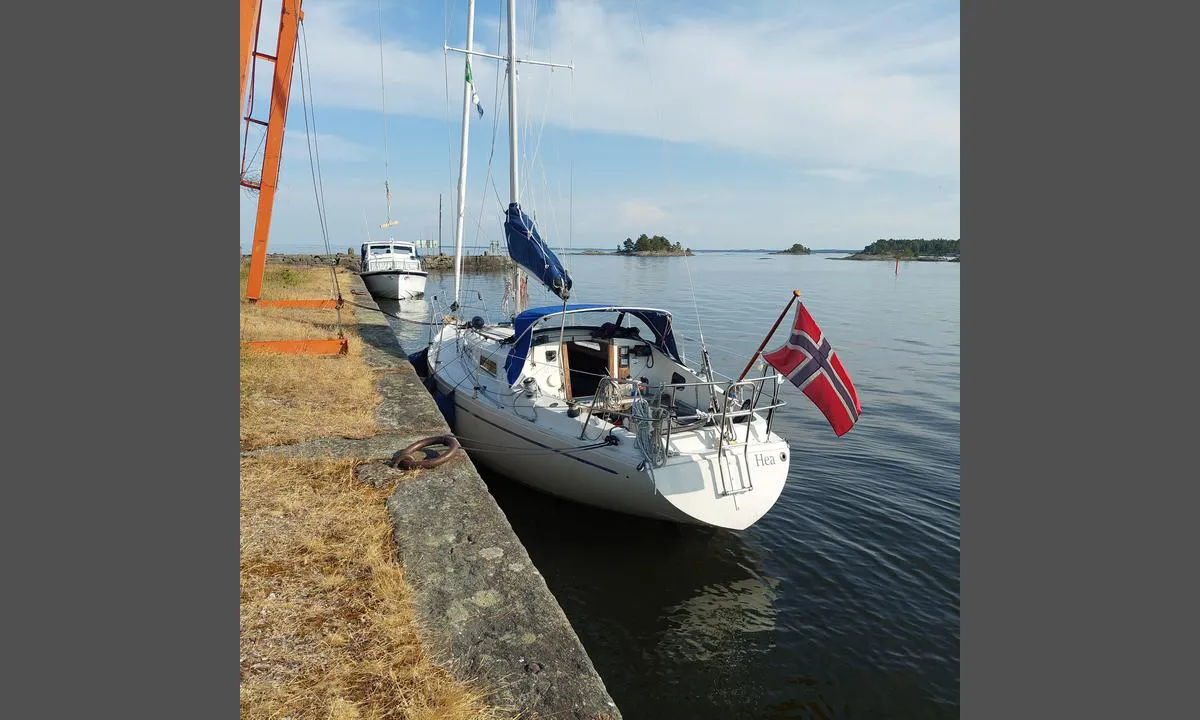
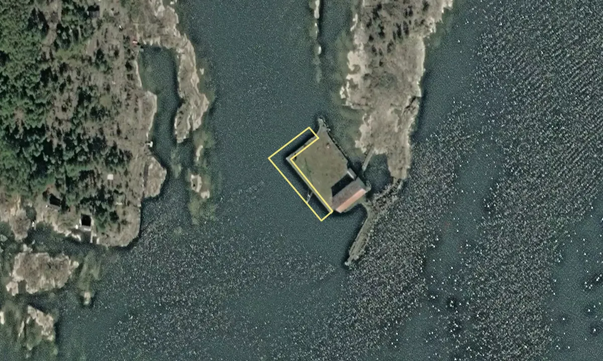
This is the starting point for the Dalsland Canal, so there may be some wash from passing boats. Very beautiful archipelago right outside the pier, which is an old stone transshipment quay. 1.20 meters high, possibly.
Photographer: Pia Martinsen, uploaded on 17. Jun 2023
We don't have any data on available facilities in this harbour. If you know which facilities are available here, please update this site to help your fellow sailors. Update facilities.
Mooring
Options for mooring in this harbour: To pier/wharf.
We don't have any data on available facilities in this harbour. If you know which facilities are available here, please update this site to help your fellow sailors. Update facilities.
Mooring
Options for mooring in this harbour: To pier/wharf.
The wind forecasts come from yr.no (Norwegian Meteorological Institute), and was last updated 1 hour and 25 minutes ago (Monday 03 August 05:29 AM). The next night score shows you the worst hour between 22:00 and 08:00 the next night. We recommend that you check multiple sources for wind forecasts. windy.com is a good website to show larger wind systems.
The safe directions for this harbour was added at 19. Jun 2023. Click here to edit.
harbourmaps.com is updated by the boating community. When you add information, a review or pictures to this page you are listed here with the other contributors (we list your user-name, which can be your real name or a pseudonym).


