Lovund Båtforening

Marina

favoritt

Region: Norway (3234), Nordland (644), Helgelandskysten (242), Lurøy (23) and Lovund (4)

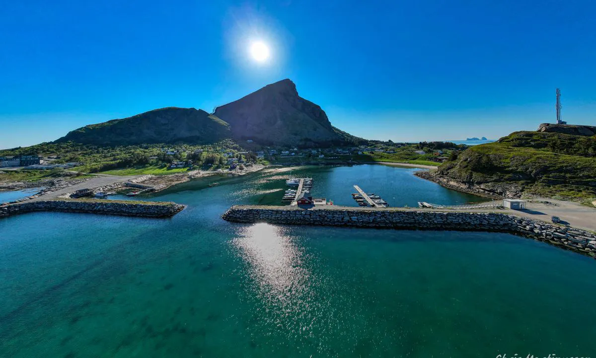
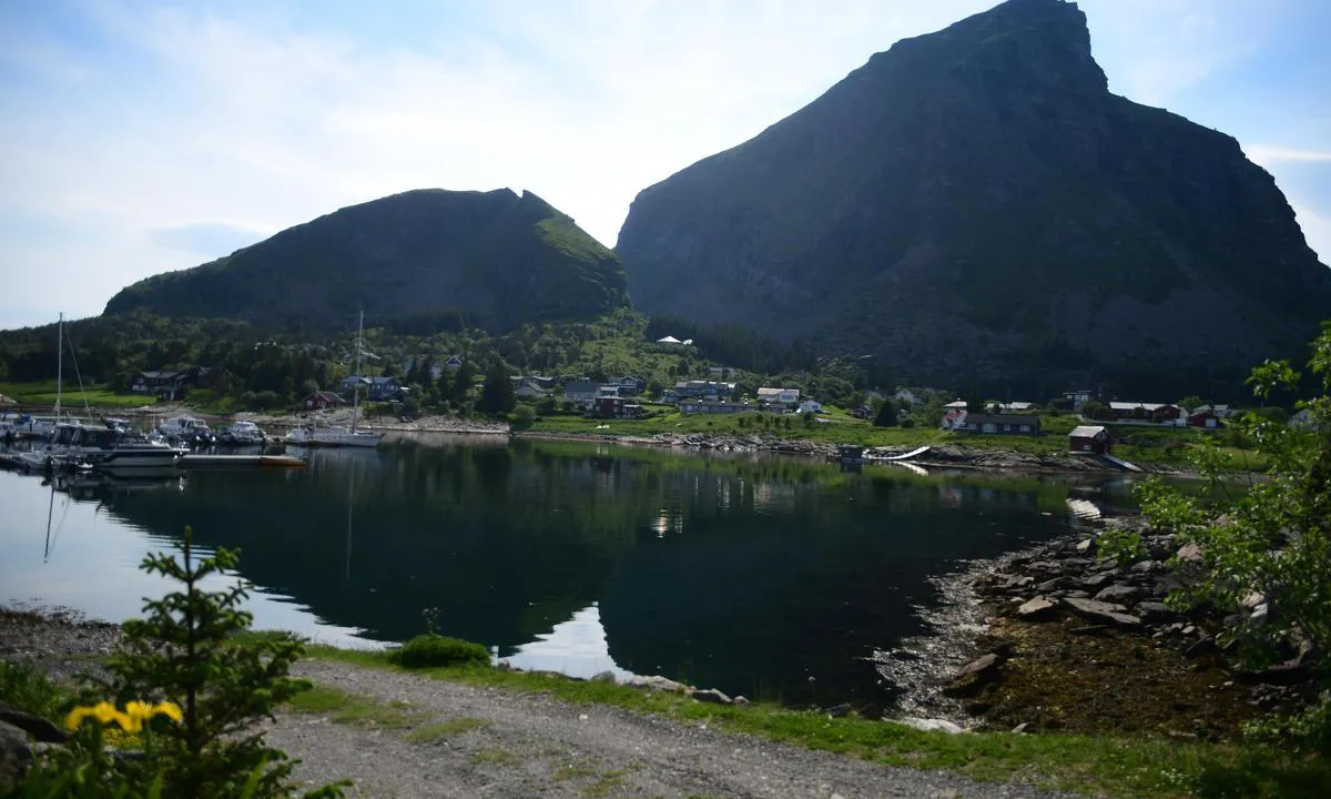
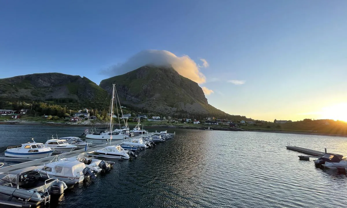
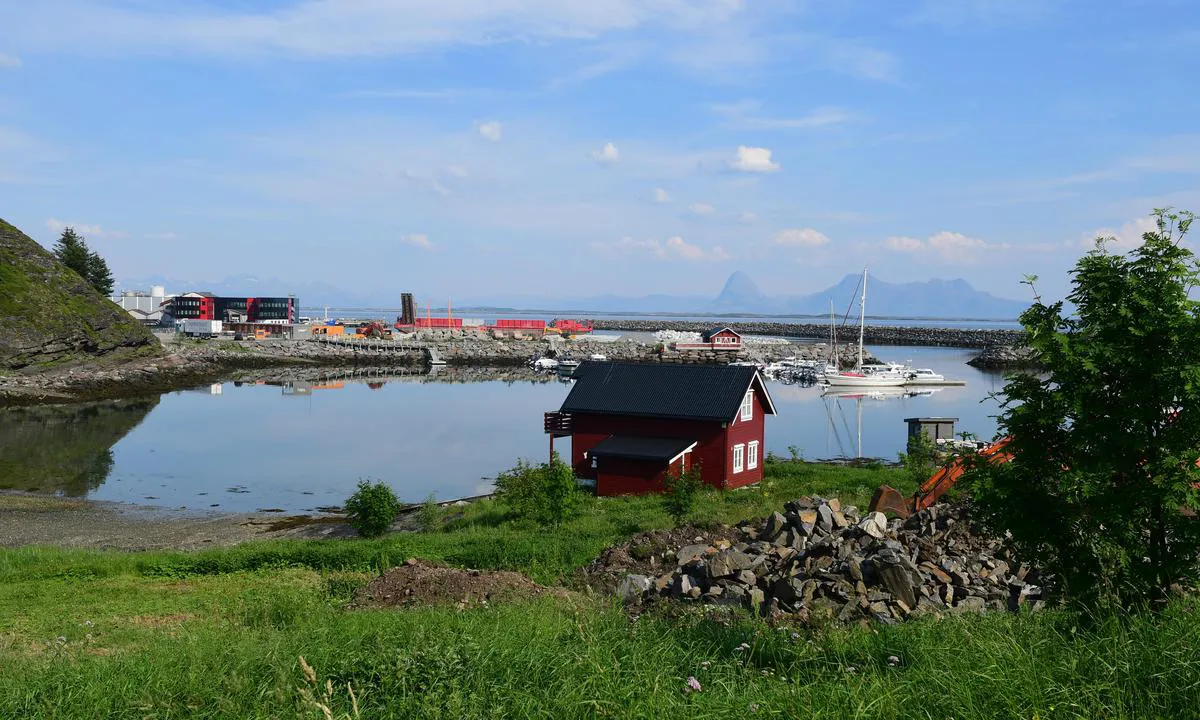
{"base": "no", "no": "Innseilingen til Lovund b\u00e5tforening. Lovundfjellet p\u00e5 623 meter. Tr\u00e6na i horisonten.", "se": "Inseglingen till Lovund b\u00e5tforening. Lovundfjellet p\u00e5 623 meter. Tr\u00e6na p\u00e5 horisonten.", "en": "The approach to Lovund Boat Association. Lovund Mountain at 623 meters. Tr\u00e6na on the horizon.", "da": "Indsejlingen til Lovund b\u00e5deforening. Lovundbjerget p\u00e5 623 meter. Tr\u00e6na i horisonten."}
Lovund Båtforening
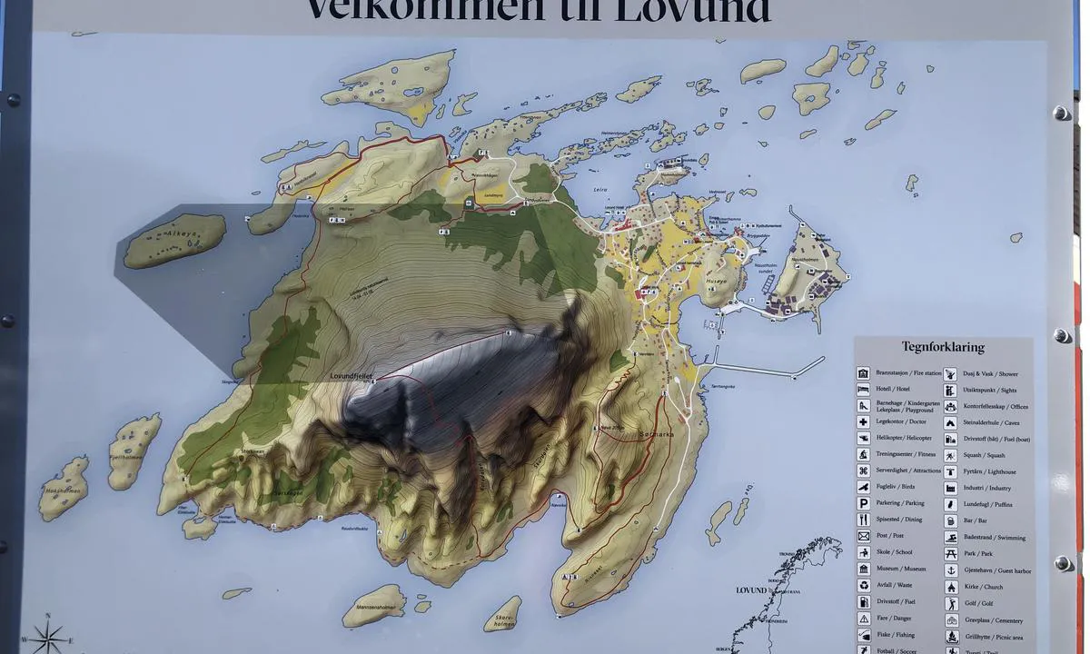
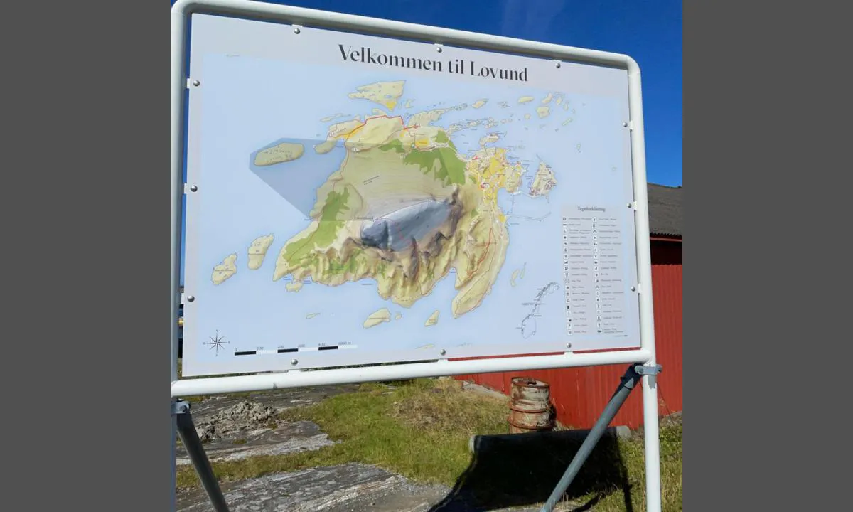
{"base": "no", "no": "Oversiktskart Lovund.", "se": "\u00d6versiktskarta Lovund.", "en": "Overview map Lovund.", "da": "Oversigtskort Lovund."}
Lovund Båtforening
Lovund Båtforening
Lovund Båtforening
Lovund Båtforening
Lovund Båtforening
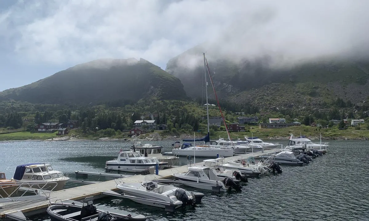
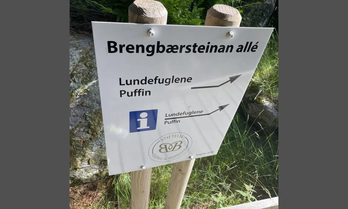
Lovund Båtforening: {"base": "no", "no": "Anbefaler kveldstur for \u00e5 se p\u00e5 Lundefuglene", "se": "Rekommenderar kv\u00e4llstur f\u00f6r att se lunnef\u00e5glarna", "en": "Recommend an evening trip to see the Puffins", "da": "Anbefaler aftentur for at se p\u00e5 Lunde-fuglene"}
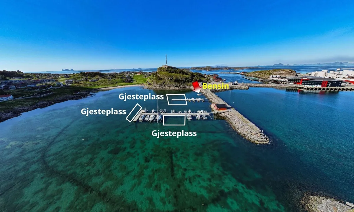
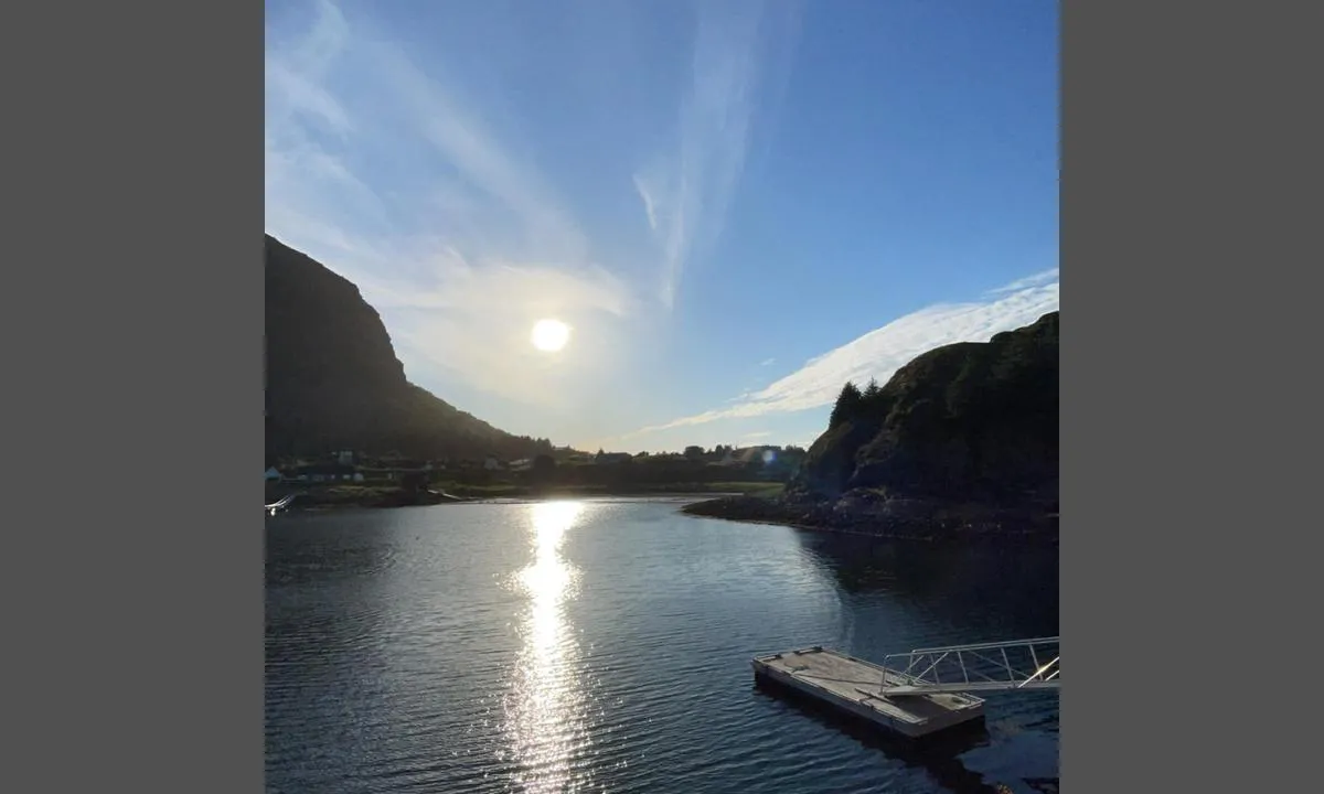
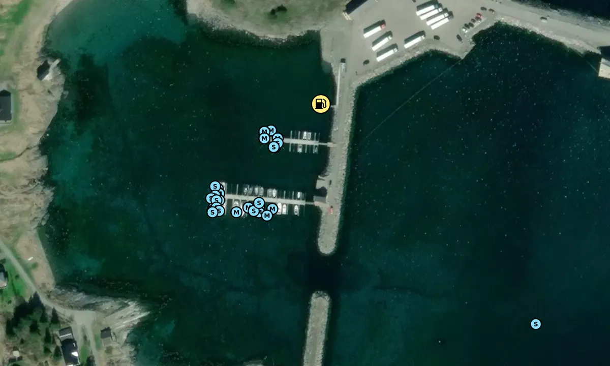
Lovund Båtforening: {"base": "no", "no": "Flytebrygge for \u00e5 fylle bensin.  Veldig grunt rundt.", "se": "Flytbrygga f\u00f6r att tanka bensin. V\u00e4ldigt grunt runtom.", "en": "Floating dock for refueling gasoline. Very shallow around.", "da": "Flydebro til at fylde benzin. Meget lavt omkring."}
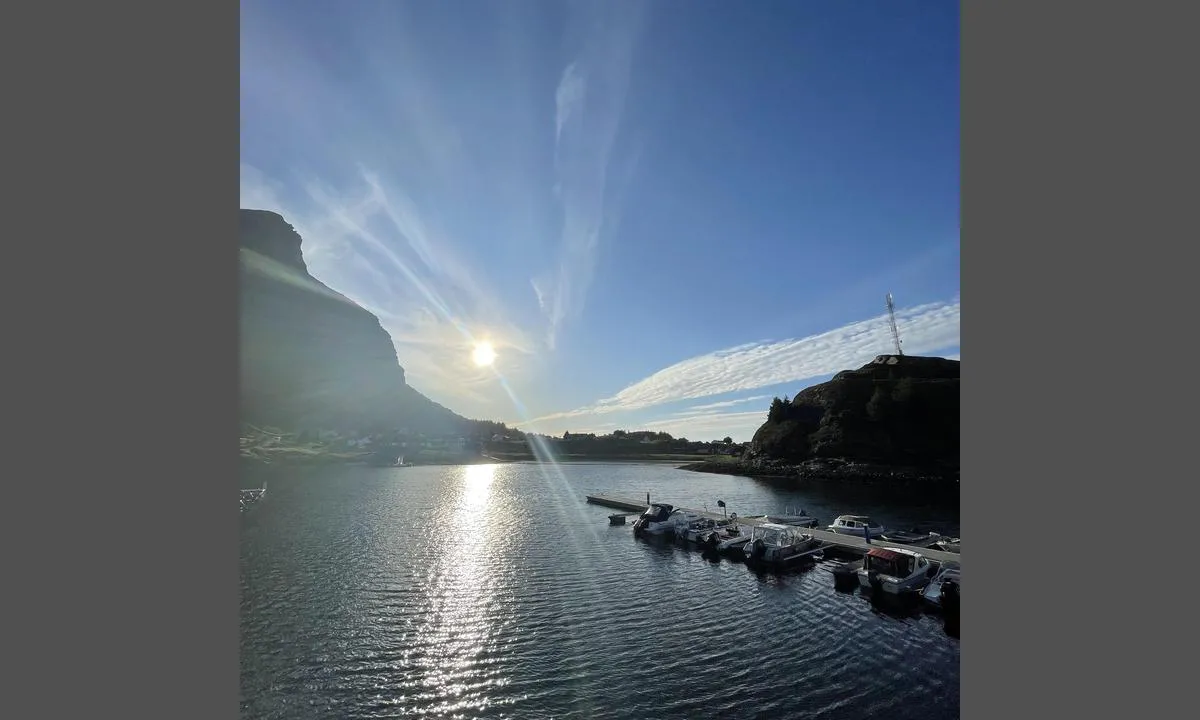
Lovund Båtforening: {"base": "no", "no": "Ene flytebrygga. Gjesteplasser ytterst.", "se": "Ena flytbryggan. G\u00e4stplatser ytterst.", "en": "Single floating dock. Guest places at the outer end.", "da": "Eneste flydebro. G\u00e6stepladser yderst."}
Lovund Båtforening: {"base": "no", "no": "Andre flytebryggen.  To plasser p\u00e5 midten til gjester. Og ytterst.", "se": "Andra flytbryggan. Tv\u00e5 platser p\u00e5 mitten f\u00f6r g\u00e4ster. Och ytterst.", "en": "Second floating dock. Two spots in the middle for guests. And at the end.", "da": "Den anden flydebro. To pladser midt p\u00e5 til g\u00e6ster. Og yderst."}
Flyfoto av Lovund Båtforening

📸 Upload a photo

Show off your photos and help others plan their journey to Lovund Båtforening.harbourmaps.com is created by the sailing community, in a collective effort to make cruising simpler and more fun. Uploading a photo takes less than a minutes and can be done from your phone, tablet or laptop.

📸 Upload a photo

Facilities

Available facilities: Shore power, Fresh water, Shower, Toilet, Washing machine, Fuel, Playground, Swimming area.

Updated on 18. Aug 2022. Update facilities.

Mooring

Options for mooring in this harbour: To pier/wharf.

Updated on 18. Aug 2022. Update mooring.

Contact information

website: www.facebook.com/lovundbaatforening

phone: +4799277126

email: marstrander74@gmail.com

Descriptions and reviews

Trine Paulsen says:

area

maritime qualities

description

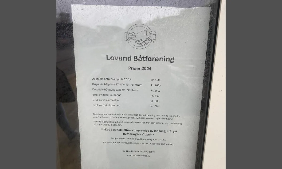
Very shallow entrance. Great marina. 150 per night without electricity. 250 per night with electricity. Toilet, shower, and washing machine/dryer.

[translated from Norwegian with AI]

1 x helpful | written on 25. Jul 2023

Anders Marstrander says:

description

Approach and maritime conditions: Lovund boat association is located on the southern side of the island. It is a short distance to the shop and dining places from the harbor. See also the boat association's website www.lovundbåt.no

Docking: Located at a floating dock in designated berths, alongside at the end of the dock
The area: Lovund is a small village with 500 inhabitants where the aquaculture company Nova Sea AS is the largest employer. See website for more information www.lovundinfo.no
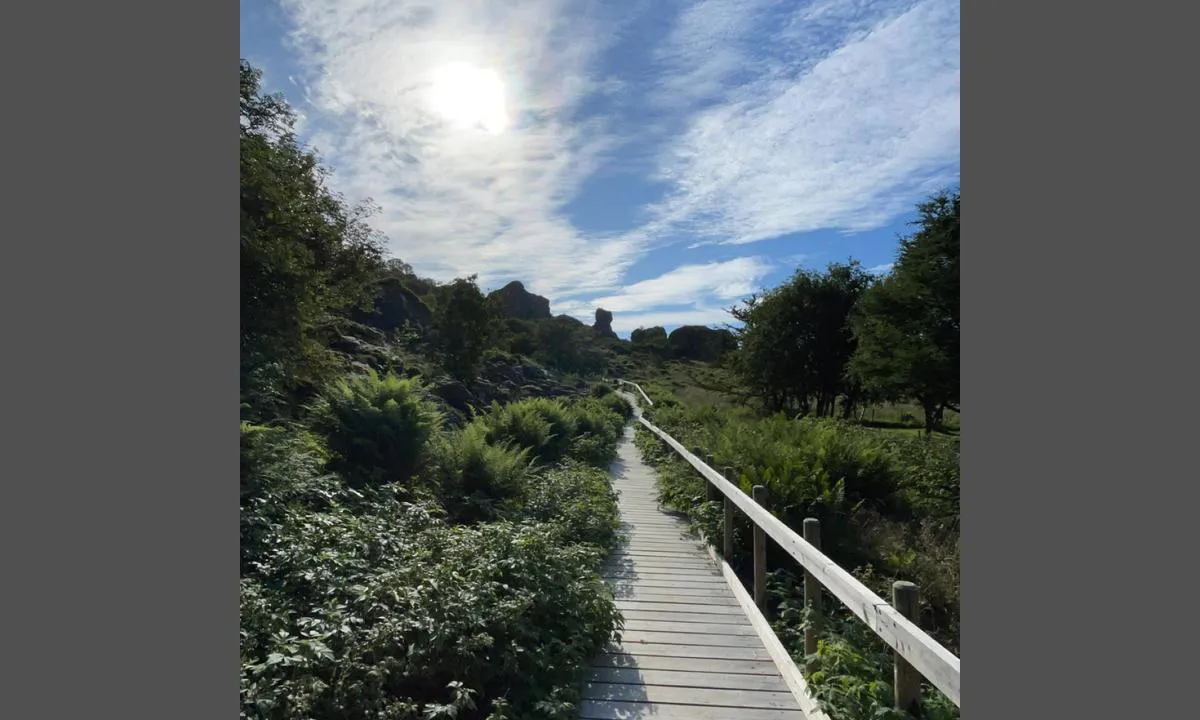
There is a well-marked trail up to Lovundfjellet (623m)

[translated from Norwegian with AI]

1 x helpful | written on 2. Jul 2021

Do you know this harbour? It's a huge help to other sailors if you add a short description or review of the harbour.

📜 Add description

Map of Lovund Båtforening

Facilities

Available facilities: Shore power, Fresh water, Shower, Toilet, Washing machine, Fuel, Playground, Swimming area.

Updated on 18. Aug 2022. Update facilities.

Mooring

Options for mooring in this harbour: To pier/wharf.

Updated on 18. Aug 2022. Update mooring.

Wind protection

Protection next night

82 points

N E S W --> } } } } } } } } } } } } } } } } } } } } } } } } } } } } } } } } } } } } } } } } } } } } } } } } } } } } } } } } } } } } } } } } } } } } } } } } } } } } } } } } } } } } } } } } } } } } } } } } } } } } } } } } } } } } } } } } } } } } } } } } } } } } } } } } } } } } } } } } } } } } } } } } } } } } } } } } } } } } } } } } } } } } } } } } } } } } } } } } } } } } } } } } } } } } } } } } } } } } } } } } } } } } } } } } } } } } } } } } } } } } } } } } } } } } } } } } } } } } } } } } } } } } } } } } } } } } } } } } } } } } } } } } } } } } } } } } } } } } } } } } } } } } } } } } } } } } } } } } } } } } } } } } } } } } } } } } } } } } } } } } } } } } } } } } } } } } } } } } } } } } } } } } } } } } } } } } } } } } } } } } } } } } } } } } } } } } } } } } } } } } } } } } } } } } } } } } } } } } } } } } } } } } } } } } } } } } } } } } } } } } } } } } } } } } } } } } } } } } } } } } } } } } } } } } } } } } } } } } } } } } } } } } } } } } } } } } } } } } } } } } } } } } } } } } } } } } } } } } } } } } } } } } } } } } } } } } } } } } } } } } } } } } } } } } } } } } } } } } } } } } } } } } } } } } } } } } } } } } } } } } } } } } } } } } } } } } } } } } } } } } } } } } } } } } } } } } } } } } } } } } } } } } } } } } } } } } } } } } } } } } } } } } } } } } } } } } } } } } } } } } } } } } } } } } } } } } } } } } } } } } } } } } } } } } } } } } } } } } } } } } } } } } } } } } } } } } } } } } } } } } } } } } } } } } } } } } } } } } } } } } } } } } } } } } } } } } } } } } } } } } } } } } } } } } } } } } } } } } } } } } } } } } } } } } } } } } } } } } } } } } } } } } } } } } } } } } } } } } } } } } } } } } } } } } } } } } } } } } } } } } } } } } } } } } } } } } } } } } } } } } } } } } } } } } } } } } } } } } } } } } } } } } } } } } } } } } } } } } } } } } } } } } } } } } } } } } } } } } } } } } } } } } } } } } } } } } } } } } } } } } } } } } } } } } } } } } } } } } } } } } } } } } } } } } } } } } } } } } } } } } } } } } } } } } } } } } } } } } } } } } Next night 18:00 0:00 6:00 12:00 Lør 14 Des 18:00 0:00 11m/s 3m/s

Want to know how the wind score works? Then you should read this explanation.

The wind forecasts come from yr.no (Norwegian Meteorological Institute), and was last updated 1 hour and 57 minutes ago (Friday 13 December 03:28 PM). The next night score shows you the worst hour between 22:00 and 08:00 the next night. We recommend that you check multiple sources for wind forecasts. windy.com is a good website to show larger wind systems.

The safe directions for this harbour was added at 14. Jun 2021. Click here to edit.

Last visits to Lovund Båtforening

Wed 27 Nov 2024

LITJ SNEKKARN [MMSI: 259036740]

Mon 21 Oct 2024

LITJ SNEKKARN [MMSI: 259036740]

Mon 12 Aug 2024

TERNA [MMSI: 258229080]

Tue 06 Aug 2024

CUTTING EDGE [MMSI: 211768430]

Sat 03 Aug 2024

HAVORNA [MMSI: 257987490]

The visits are retrieved from AIS data. You can click to see all visiting ships to Lovund Båtforening, as well as statistics about the ships that visits

Add this harbour to a journey

Check in now

Choose a different date than today

Important: When you check in to a harbour, you add it to a journey on this website. You are not booking a place in the marina.

Contributors

Users that contributed to this page: Jan Halstein Haugnes, Trine Paulsen, ©norgeskart.no, Lovund Båtforening, Audun, Odd Tufte. S/Y Vindreken and Anders Marstrander

harbourmaps.com is updated by the boating community. When you add information, a review or pictures to this page you are listed here with the other contributors (we list your user-name, which can be your real name or a pseudonym).

Closest harbours to Lovund Båtforening
Filter by

Natural harbour
Marina
Safe wind next night

Order by

ABC
Popularity
Wind score next night

0 harbours
Show more harbours