


Descriptions and reviews
Landstryker1
 says:
says:
area

maritime qualities
description
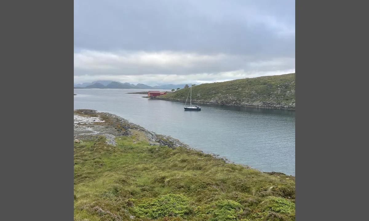
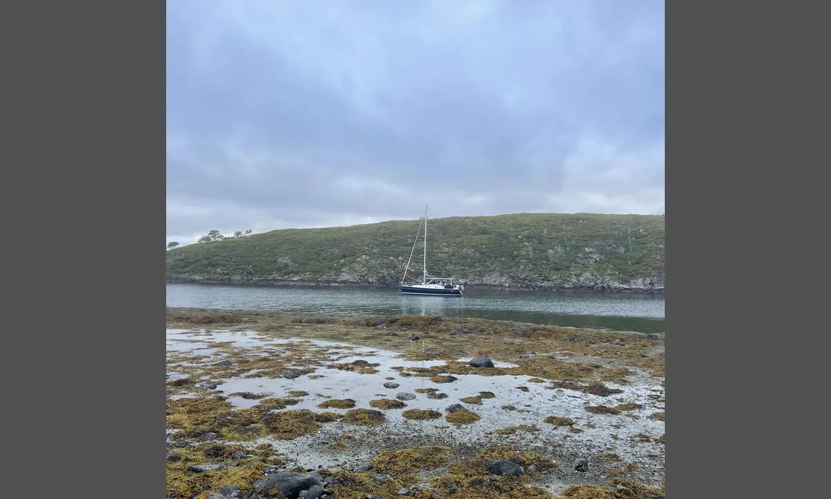
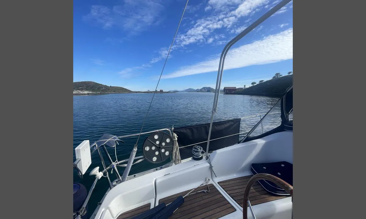
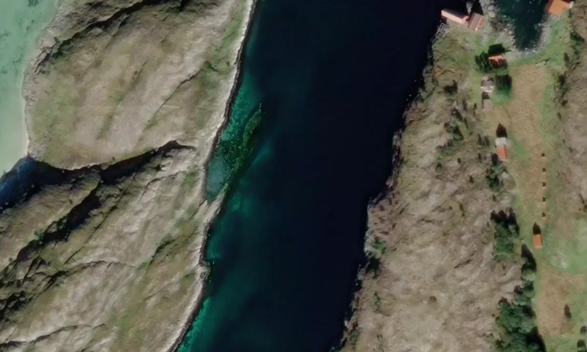
Can enter this strait from both the north and the south. Anchored at about 6 meters in a sandy bottom. This is an old, abandoned and dilapidated fishing village without piers. A small floating dock that apparently belongs to a cabin that is in use.
[translated from Norwegian with AI]

2 x helpful | written on 20. Jul 2024
Do you know this harbour? It's a huge help to other sailors if you add a short description or review of the harbour.
Map of Lyngværsund

Wind protection
Protection next night
87 points


Want to know how the wind score works? Then you should read this explanation.
The wind forecasts come from yr.no (Norwegian Meteorological Institute), and was last updated 1 hour and 49 minutes ago (Saturday 11 July 11:29 PM). The next night score shows you the worst hour between 22:00 and 08:00 the next night. We recommend that you check multiple sources for wind forecasts. windy.com is a good website to show larger wind systems.
The safe directions for this harbour was added at 20. Jul 2024. Click here to edit.
Last visits to Lyngværsund
The visits are retrieved from AIS data. You can click to see all visiting ships to Lyngværsund, as well as statistics about the ships that visits
Add this harbour to a journey
Choose a different date than today
Important: When you check in to a harbour, you add it to a journey on this website. You are not booking a place in the marina.
Contributors
Users that contributed to this page: Landstryker1
harbourmaps.com is updated by the boating community. When you add information, a review or pictures to this page you are listed here with the other contributors (we list your user-name, which can be your real name or a pseudonym).
Closest harbours to Lyngværsund
Filter by
Order by
0 harbours
Show more harbours
