Mandal Gjestehavn
Marina

Region: Norway (3434), Agder (283), Vest-Agder (142), Lindesnes (43) and Mandal (21)


Contact information
website: www.mandalhavn.no
phone: +4740005152, +4798247262
email: mandalhavn@mandal.kommune.no
Descriptions and reviews
Dan Mossmann says:
says:
area


maritime qualities


description
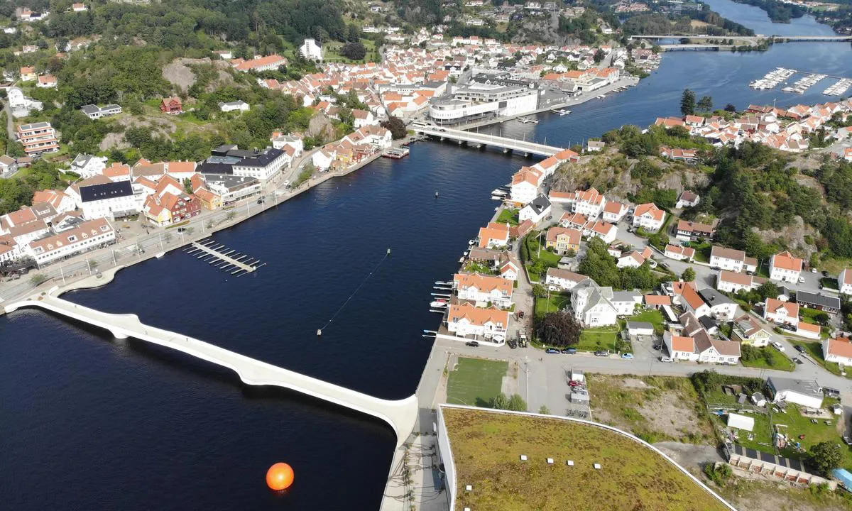
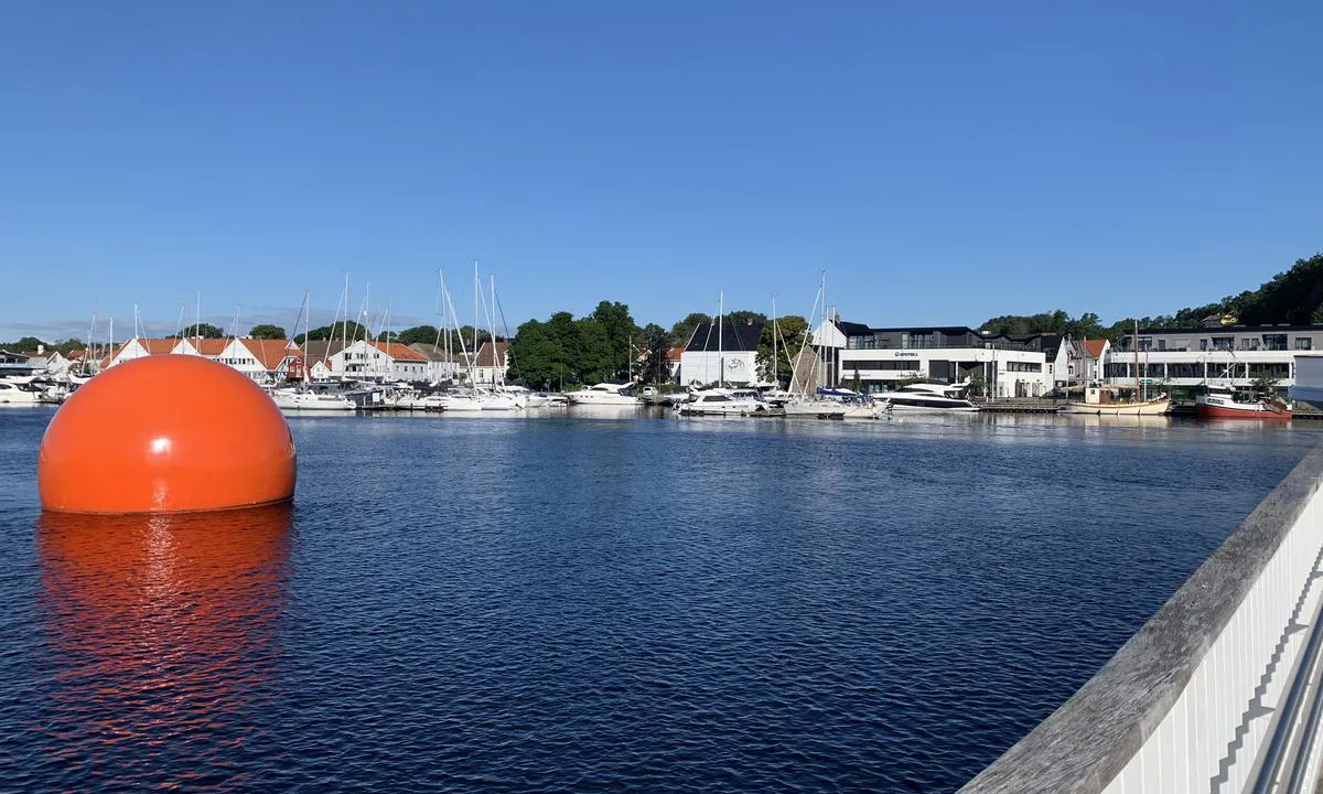
If the harbor seems full at first glance, one should consider whether one can pass under the footbridge which has a height of 4.0 meters above the river. There are also some dock spaces here.
If one has the desire and ability to go even further up, past the old E18 bridge which has a clearance of 2.9 meters above sea level, one will reach the shopping center where one can dock right at the door.
[translated from Norwegian with AI]

1 x helpful | written on 3. Sep 2023 | updated_on 3. Sep 2023
Stein Ødegård
 says:
says:
description
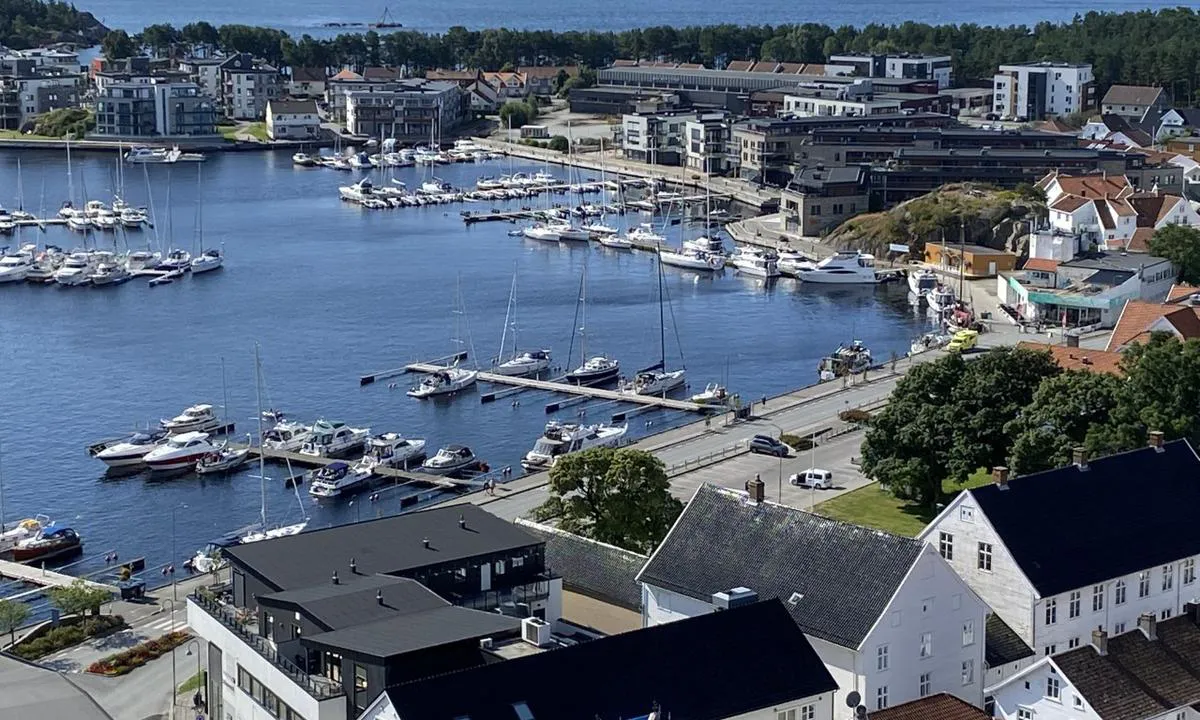
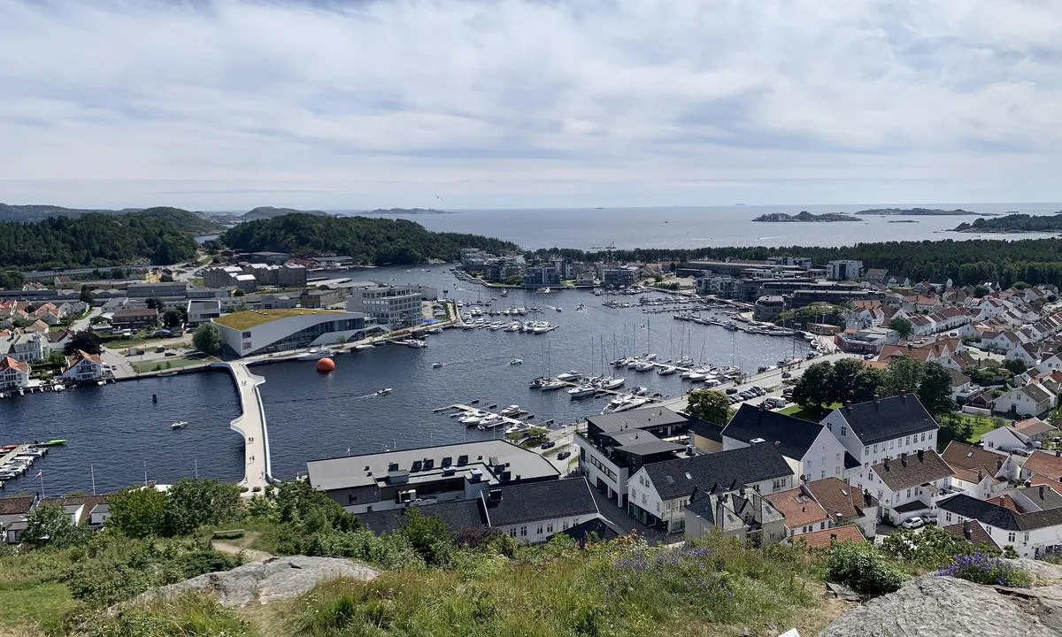
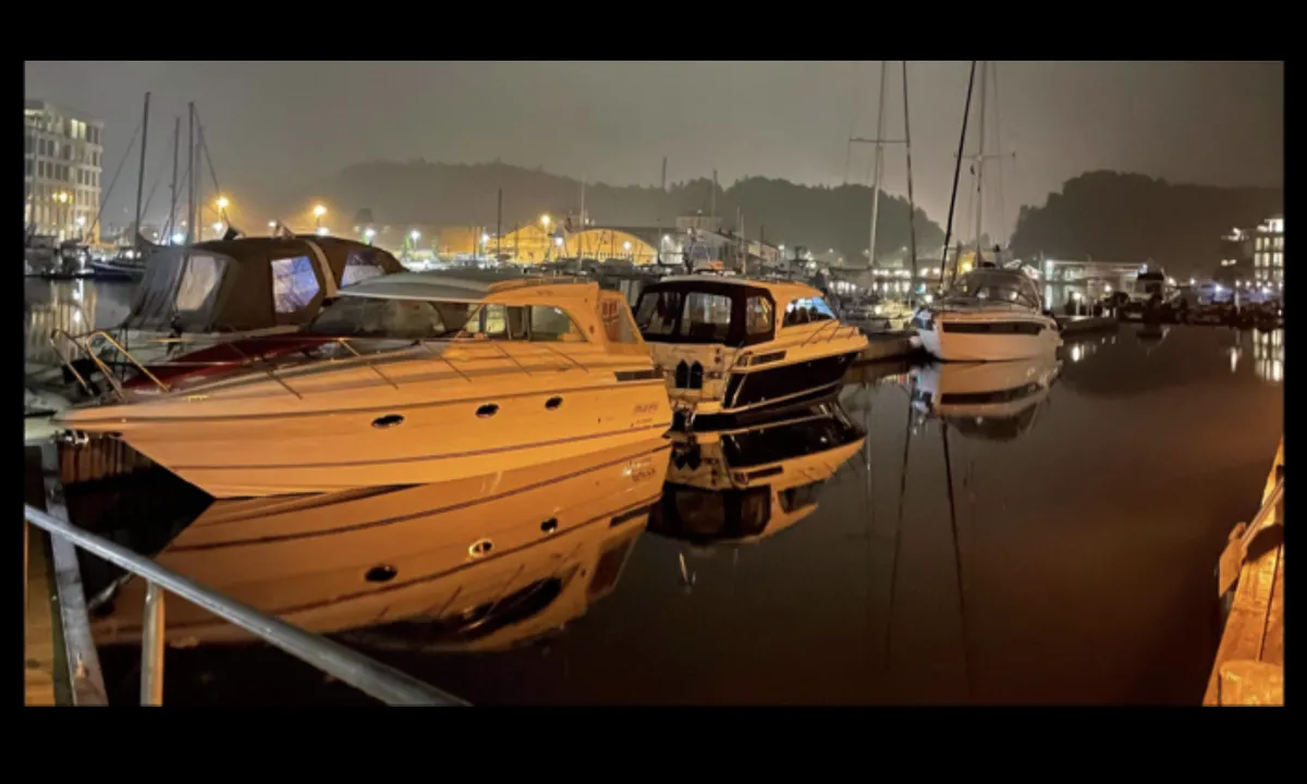
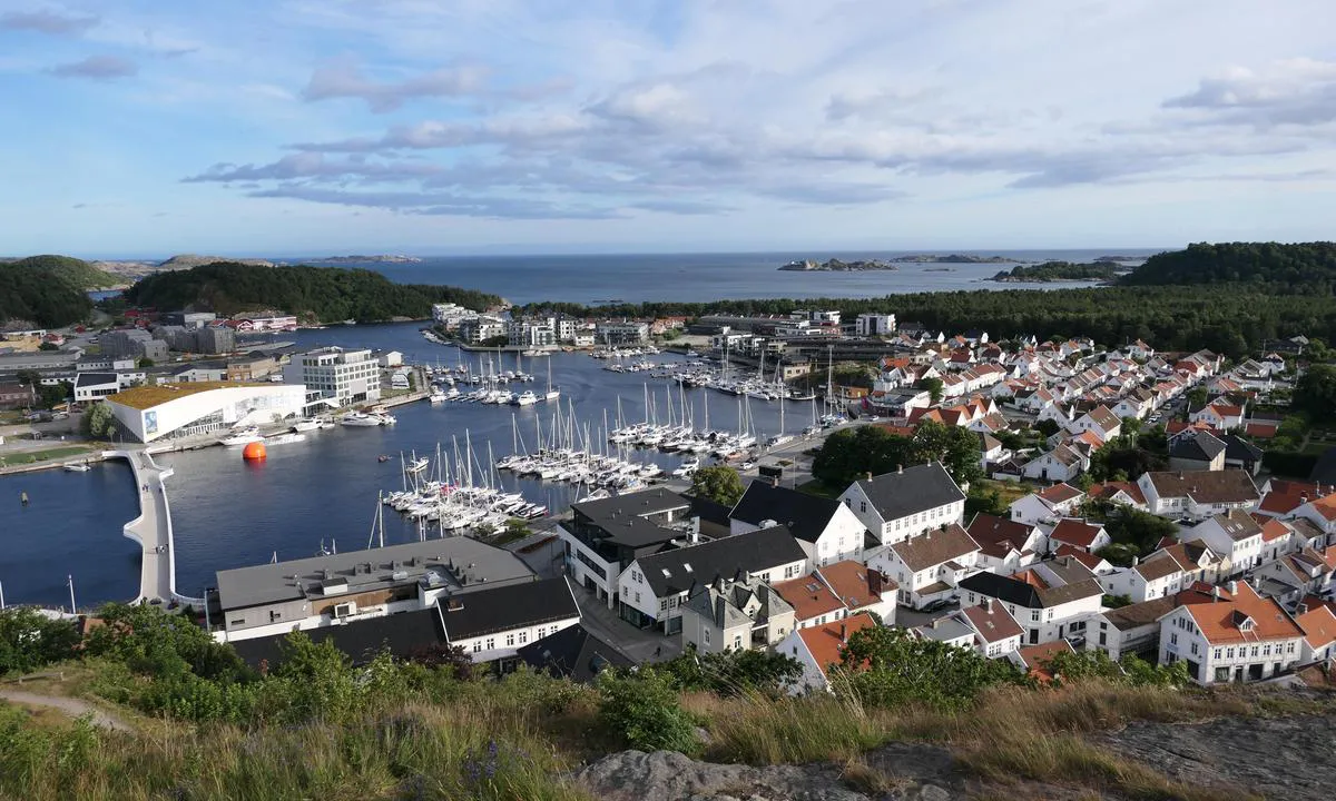
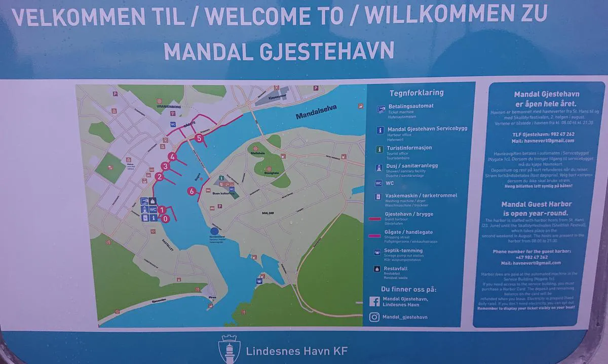
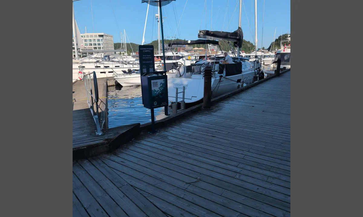
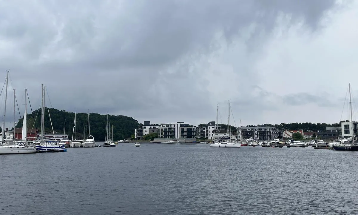
Approach and maritime conditions: The harbor is located a couple of hundred meters up the river, after two 90-degree turns. The guest harbor consists of floating docks (alongside) outside the service building and floating docks (berths) before the bridge, on the western bank of the river. It is also possible to moor along the quay.
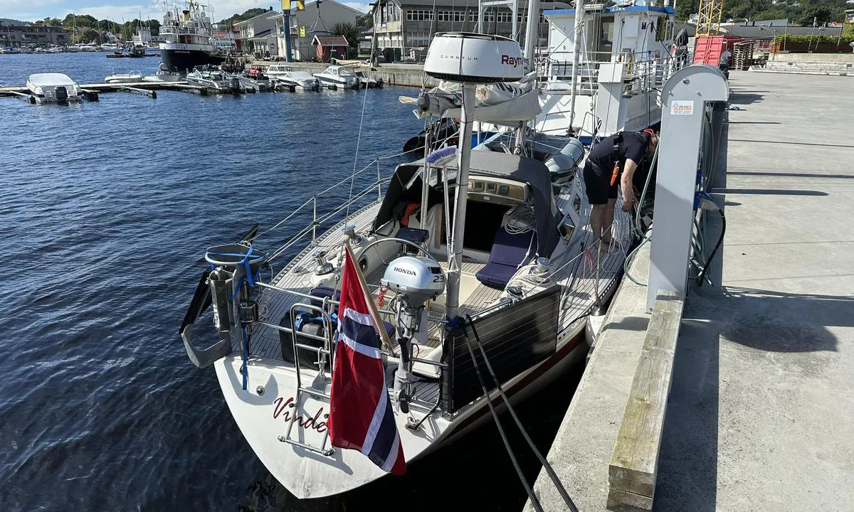
Mooring: Mooring in berths on floating docks closest to the bridge, or alongside outside the service building (quay and floating dock without berths). There is somewhat limited depth for sailboats on the east side of the river. There is often quite a strong southward current in the harbor, as this is indeed a river estuary.
The area: The harbor is located in the middle of the city with all amenities. Beautiful sandy beaches at Sjøsanden and further west.
[translated from Norwegian with AI]

2 x helpful | written on 1. Aug 2021
Do you know this harbour? It's a huge help to other sailors if you add a short description or review of the harbour.
Map of Mandal Gjestehavn

Wind protection
Protection next night
53 points


Want to know how the wind score works? Then you should read this explanation.
The wind forecasts come from yr.no (Norwegian Meteorological Institute), and was last updated 1 hour and 40 minutes ago (Wednesday 04 February 03:27 AM). The next night score shows you the worst hour between 22:00 and 08:00 the next night. We recommend that you check multiple sources for wind forecasts. windy.com is a good website to show larger wind systems.
The safe directions for this harbour was added at 1. Jun 2021. Click here to edit.
Last visits to Mandal Gjestehavn
Tue 26 Aug 2025 |
|
|
Sat 26 Jul 2025 |
|
|
Tue 22 Jul 2025 |
|
|
Sun 13 Jul 2025 |
|
|
Wed 09 Jul 2025 |
|
|
The visits are retrieved from AIS data. You can click to see all visiting ships to Mandal Gjestehavn, as well as statistics about the ships that visits
Add this harbour to a journey
Choose a different date than today
Important: When you check in to a harbour, you add it to a journey on this website. You are not booking a place in the marina.
Contributors
Users that contributed to this page: Kenneth Herfoss, Joyride, Johan Almqvist, Tor Egon Mikkelsen, Dag Bjarne Hustvedt, Eirik Berger, Geir Kallevik, Arjen Weber, Dan Mossmann, Stein Ødegård and Knut Kjorkleiv
harbourmaps.com is updated by the boating community. When you add information, a review or pictures to this page you are listed here with the other contributors (we list your user-name, which can be your real name or a pseudonym).
Thematic lists of harbours
This harbour is part of these lists:
Closest harbours to Mandal Gjestehavn
Filter by
Order by
0 harbours
Show more harbours








 AISLIG BHEAG [MMSI: 235035121]
 THALASSA [MMSI: 246329000]
 CAPELLA [MMSI: 257454900]
 ANITA 3 [MMSI: 259024170]