


Descriptions and reviews
Benny Henrysson says:
area


maritime qualities
description
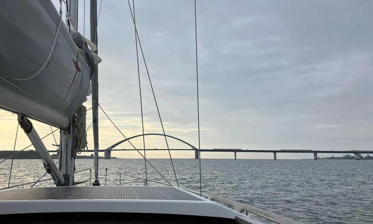
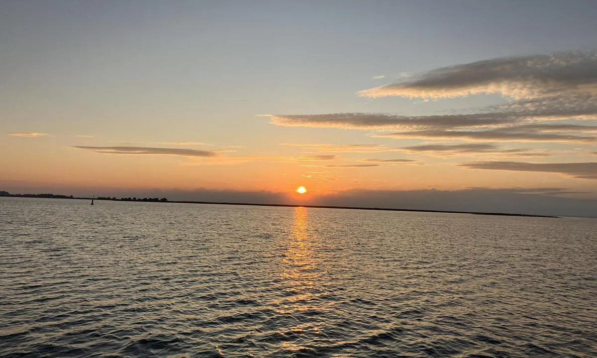
Nice anchorage with space for many boats. Well protected. A bit of a walk to shops, restaurants, and other amenities.
[translated from Swedish with AI]

1 x helpful | written on 21. Jun 2026
Onedin says:
says:
area
maritime qualities
description
Nice place to anchor. This was the outermost anchorage mark on the chart. Depth of approximately 8m. A bit close to the green navigational buoy to Heiligenhafen, but it was not a problem. Great place to anchor. Had winds of 4-6 m/s from the southwest. Good holding, the anchor set immediately. In some places, there may be some seaweed.
[translated from Norwegian with AI]
1 x helpful | written on 8. Jun 2024
Do you know this harbour? It's a huge help to other sailors if you add a short description or review of the harbour.
Map of Ortmühle

Wind protection
Protection next night
65 points


Want to know how the wind score works? Then you should read this explanation.
The wind forecasts come from yr.no (Norwegian Meteorological Institute), and was last updated 1 hour and 46 minutes ago (Monday 03 August 06:28 PM). The next night score shows you the worst hour between 22:00 and 08:00 the next night. We recommend that you check multiple sources for wind forecasts. windy.com is a good website to show larger wind systems.

The safe wind directions for this harbour has been decided by an algorithm, based on how elevated the land around the harbour is. It's mostly correct, but sometimes the underlying data about elevation levels is not good enough to make correct decisions. It's a great help to other if you can validate or adjust the safe wind directions. You can see the data used by the algorithm to decide the safe wind directions by clicking here.
Last visits to Ortmühle
Fri 01 May 2026 |
|
|
Thu 23 Apr 2026 |
|
|
Tue 21 Apr 2026 |
|
|
Sat 30 Aug 2025 |
|
|
|
|
 INDIAN SUMMER [MMSI: 211225620]
 MARTHA [MMSI: 211734280]
The visits are retrieved from AIS data. You can click to see all visiting ships to Ortmühle, as well as statistics about the ships that visits
Add this harbour to a journey
Choose a different date than today
Important: When you check in to a harbour, you add it to a journey on this website. You are not booking a place in the marina.
Contributors
Users that contributed to this page: Onedin
harbourmaps.com is updated by the boating community. When you add information, a review or pictures to this page you are listed here with the other contributors (we list your user-name, which can be your real name or a pseudonym).
Closest harbours to Ortmühle
Filter by
Order by
0 harbours
Show more harbours
