


Østre Randøya
Natural harbour

Region: Norway (3487), Agder (286), Vest-Agder (145) and Kristiansand (51)


Descriptions and reviews
Bjørn Aas says:
area

maritime qualities

description
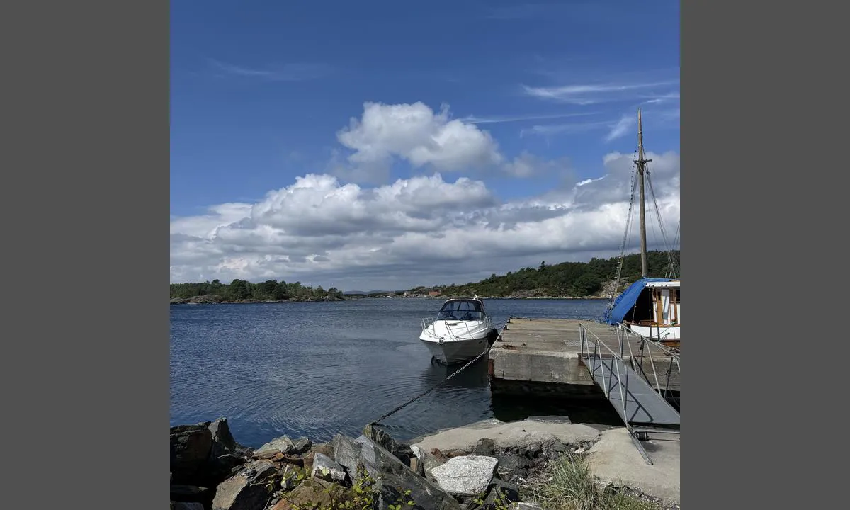
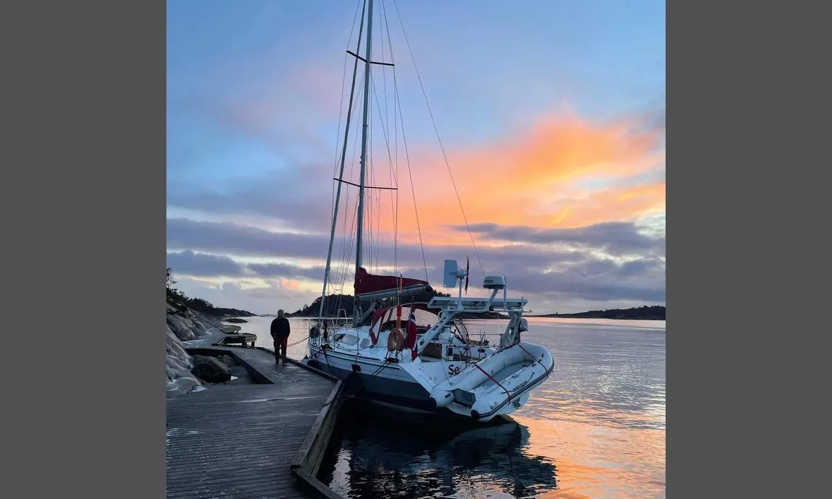
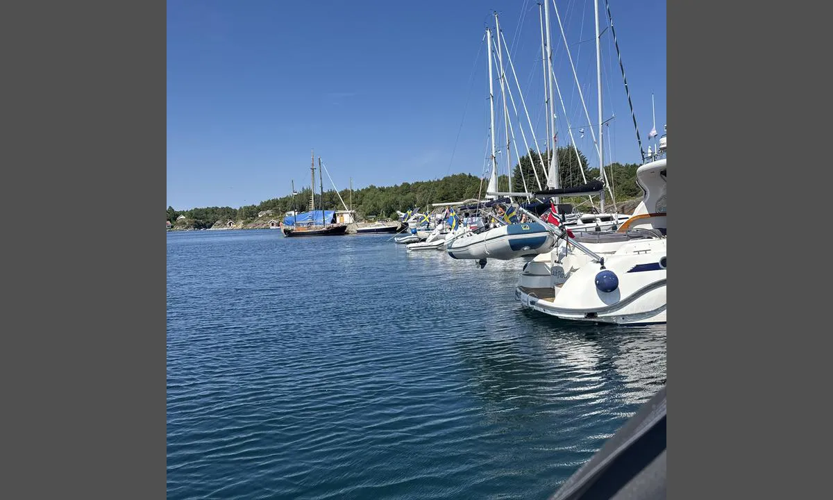
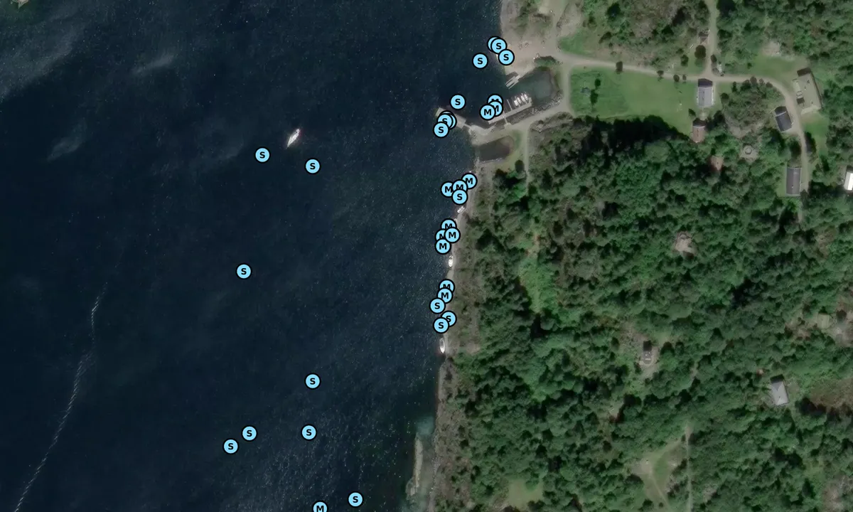
Randøya is a great and good place to dock. In the summer, there is a kiosk serving simple refreshments like ice cream, waffles, coffee, and soda. A small beach with shallow waters makes it fantastic for children.
Nice hiking areas with lots of history!
The docks are narrow and can present problems when people like to cook on the docks, taking up a lot of space.
There is some scrap metal on the bottom, which can make anchoring somewhat challenging.
East, northeast has fantastic wind conditions here!
[translated from Norwegian with AI]

3 x helpful | written on 30. Jul 2025
Knut Kjorkleiv
 says:
says:
area
maritime qualities
description
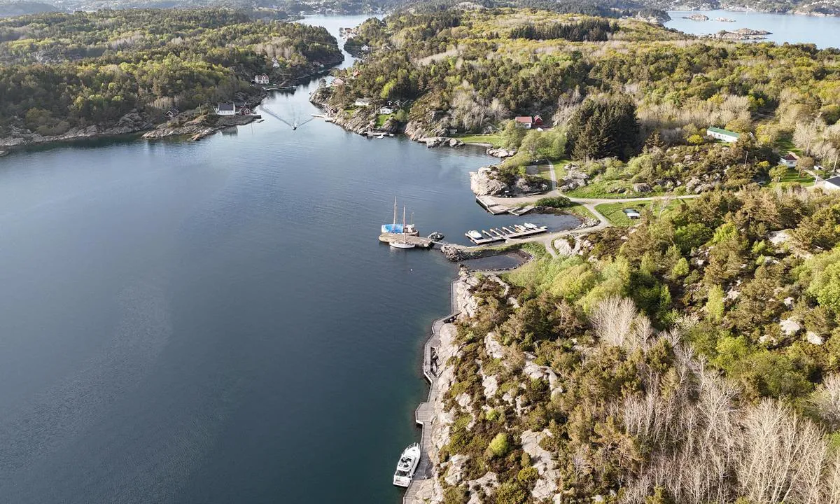
Østre Randøya is a former Coastal Fort that has been converted into an outdoor recreational area.
Pier facilities along the rocks, best suited for bow-in mooring as the rock slopes out under the pier in several places. Alongside mooring furthest in with great caution. Access for small boats through 'Skippergada' from the north. Larger boats and sailboats must enter from the south, which can be challenging in rough seas.
Nice hiking areas, water post up by the buildings. Toilets within walking distance.
See also:
https://www.visitsorlandet.com/listing/%c3%98stre-rand%c3%b8ya/139929306/
https://ut.no/turforslag/117656/en-skjrgardstur-til-stre-randya-i-kristiansand
[translated from Norwegian with AI]
2 x helpful | written on 4. Aug 2022 | updated_on 5. Oct 2024
Do you know this harbour? It's a huge help to other sailors if you add a short description or review of the harbour.
Map of Østre Randøya

Wind protection
Protection next night
80 points


Want to know how the wind score works? Then you should read this explanation.
The wind forecasts come from yr.no (Norwegian Meteorological Institute), and was last updated 1 hour and 48 minutes ago (Friday 17 July 01:29 AM). The next night score shows you the worst hour between 22:00 and 08:00 the next night. We recommend that you check multiple sources for wind forecasts. windy.com is a good website to show larger wind systems.
The safe directions for this harbour was added at 26. Jul 2025. Click here to edit.
Last visits to Østre Randøya
Fri 10 Jul 2026 |
|
|
Thu 02 Jul 2026 |
|
|
Wed 01 Jul 2026 |
|
|
|
|
|
|
 CAPELLA [MMSI: 258135380]
 KORSKAVI [MMSI: 258997430]
The visits are retrieved from AIS data. You can click to see all visiting ships to Østre Randøya, as well as statistics about the ships that visits
Add this harbour to a journey
Choose a different date than today
Important: When you check in to a harbour, you add it to a journey on this website. You are not booking a place in the marina.
Contributors
Users that contributed to this page: Knut Kjorkleiv, Kurt Amble, Lasse Hornnes and Bjørn Aas
harbourmaps.com is updated by the boating community. When you add information, a review or pictures to this page you are listed here with the other contributors (we list your user-name, which can be your real name or a pseudonym).
Closest harbours to Østre Randøya
Filter by
Order by
0 harbours
Show more harbours
