


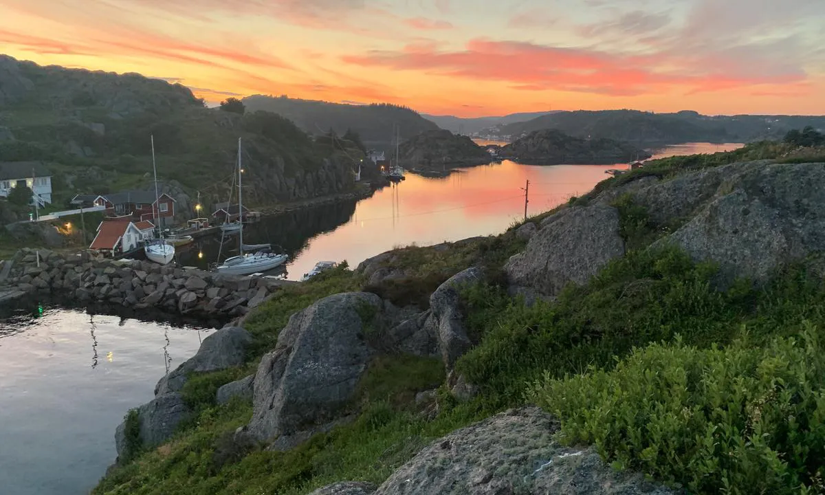
Sæløer
Natural harbour

Region: Norway (3463), Agder (285), Vest-Agder (144), Lyngdal (10) and Korshamn (7)


Descriptions and reviews
Dan Mossmann says:
says:
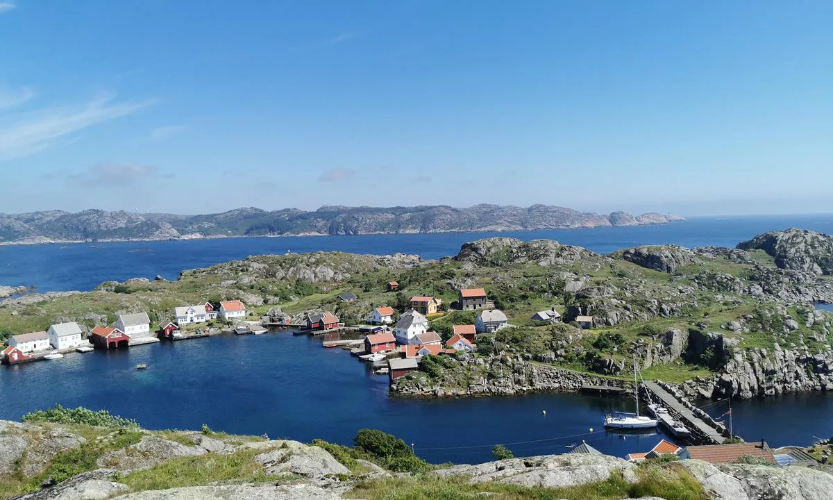
area

maritime qualities
description
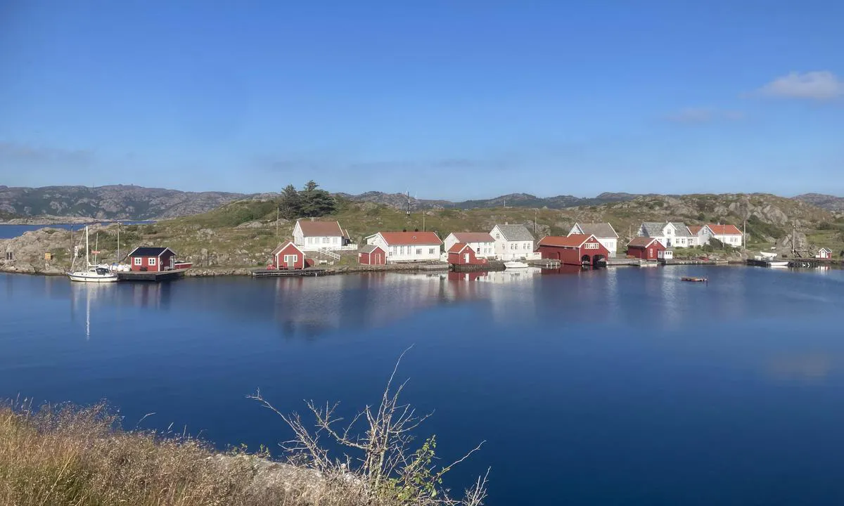
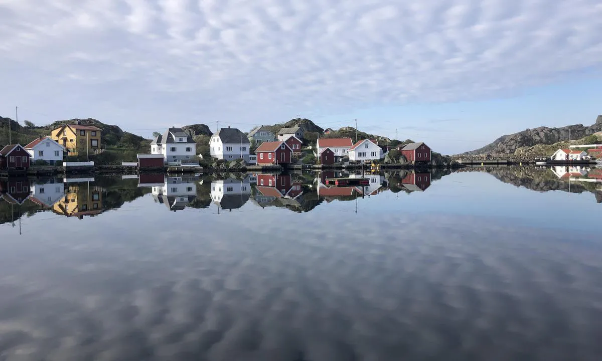
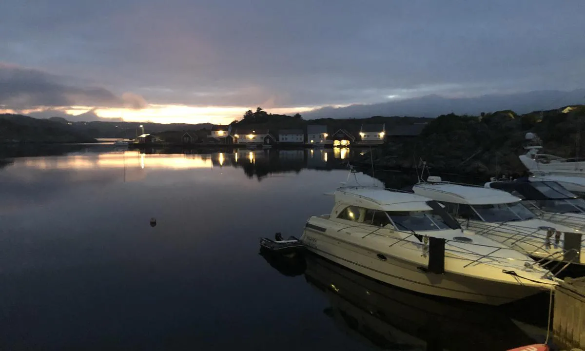
Beautiful historic outpost facing the sea!
Here lay the ancient boundary between the western and eastern parts of Norway. (All place names in Norway with 'sel' or 'sal' originate from their use as overnight/resting places.)
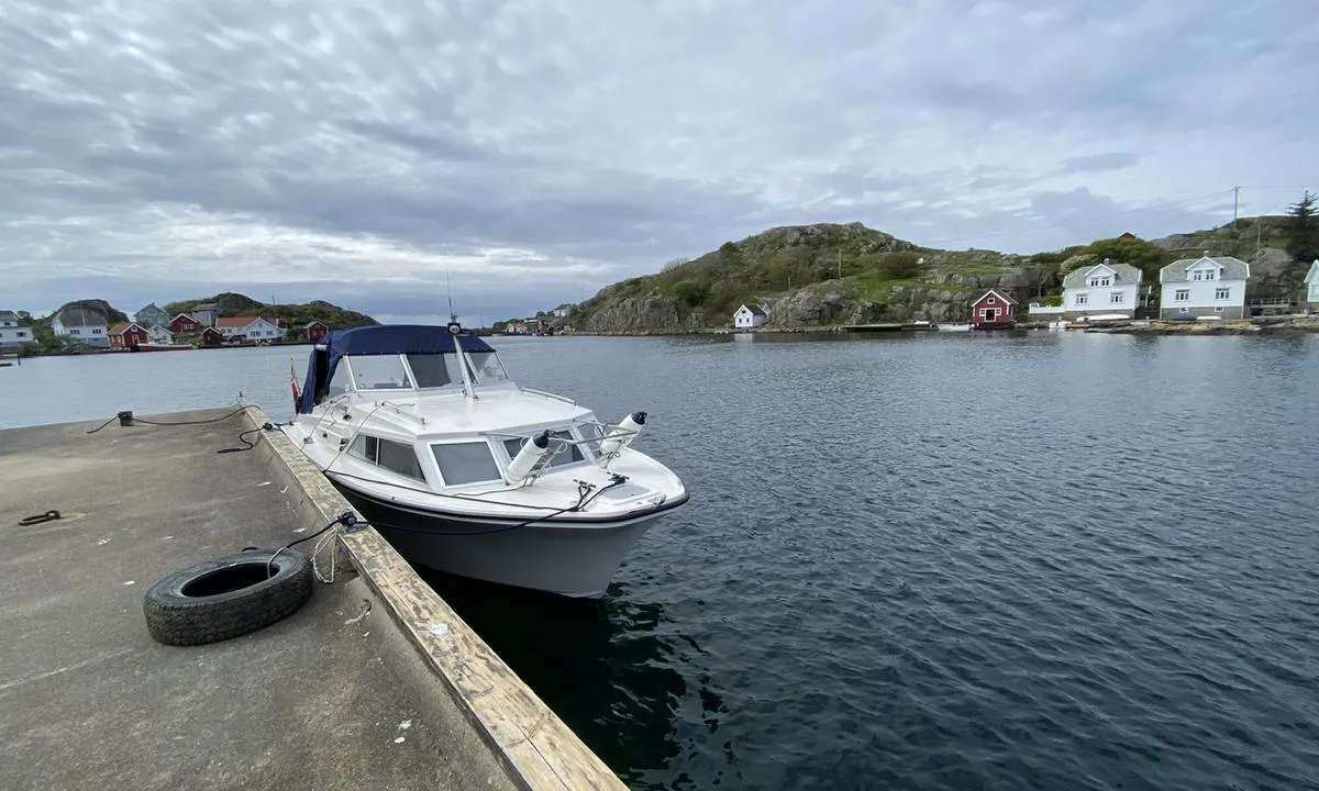
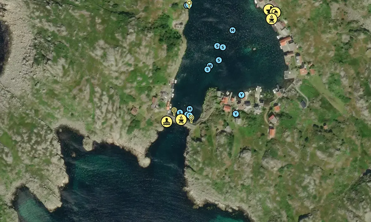
There are 3 places to moor inside the bay, besides anchoring between the Seløyene islands.
-The first public dock is on the port side with a small red shed.
-The next one is further in on the starboard side. A concrete dock without a skirt, it is public.
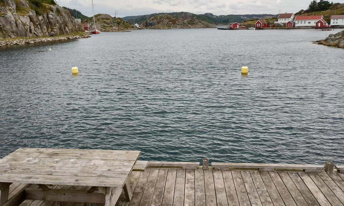
-The last mooring spot is by the breakwater. Here, one can use one of the two mooring buoys.
Swimming should be done on the outside of the breakwater at a well-arranged area.
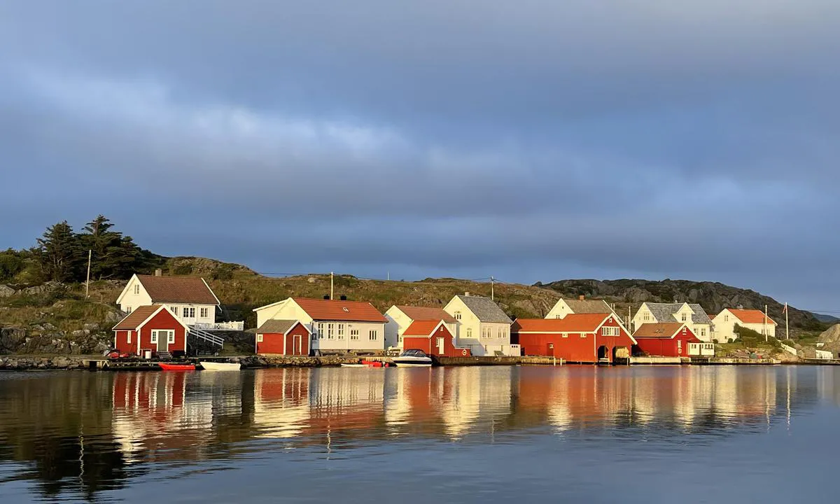
There is an outhouse by the schoolhouse on Østre Seløer. There is also a shower room under the half-roof of the schoolhouse intended for visitors to the island!
Great hiking trails lead up to, for example, the compass rose 'Kompasen,' dated to 1550 AD, on Vestre Seløer.
A small hike is also recommended to the ruins of the chapel (probably built in the 1200s) which previously stood here with a burial ground for washed-ashore bodies and for seafarers who died of plague/cholera. The burial ground was in use until 1835. (Potato field from the early 1900s!)
The hiking trail to Selihovden, where the lighthouse keeper for the Lindesnes lighthouses used to reside, is recommended!
Good view of the former twin lighthouses at Lindesnes/Markøy. (Lindesnes lighthouse, which consisted of 12 stearin candles and a reflector, was first lit in 1656. Later, the twin lighthouses operated together from 1725 to distinguish them from the Skagen lighthouse in Denmark which only had one light.)
[translated from Norwegian with AI]

2 x helpful | written on 30. Aug 2023 | updated_on 8. Aug 2024
SV Metanoia says:
says:
description
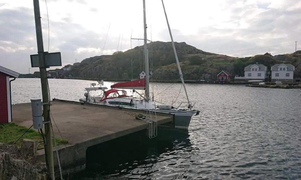
Entering and maritime conditions: Inside Seløy, there are 2 possible docks to moor at, one is at the innermost part of Seløy by the breakwater.
Anchoring: Fixed quay with 2 buoys
The area: Cozy little place with some trails around, for example, to the top of Selhovden with a view towards Lindesnes.
[translated from Norwegian with AI]
3 x helpful | written on 13. Jul 2021
Do you know this harbour? It's a huge help to other sailors if you add a short description or review of the harbour.
Map of Sæløer

Wind protection
Protection next night
92 points


Want to know how the wind score works? Then you should read this explanation.
The wind forecasts come from yr.no (Norwegian Meteorological Institute), and was last updated 1 hour and 30 minutes ago (Friday 19 June 03:27 PM). The next night score shows you the worst hour between 22:00 and 08:00 the next night. We recommend that you check multiple sources for wind forecasts. windy.com is a good website to show larger wind systems.
The safe directions for this harbour was added at 13. Jul 2021. Click here to edit.
Last visits to Sæløer
The visits are retrieved from AIS data. You can click to see all visiting ships to Sæløer, as well as statistics about the ships that visits
Add this harbour to a journey
Choose a different date than today
Important: When you check in to a harbour, you add it to a journey on this website. You are not booking a place in the marina.
Contributors
Users that contributed to this page: SV Metanoia, Nelleke Vermeulen, Båtliv med Donna, Stein Ødegård, John G., Siri Slethei Rustad, Seilbaaten.no, Knut Kjorkleiv and Dan Mossmann
harbourmaps.com is updated by the boating community. When you add information, a review or pictures to this page you are listed here with the other contributors (we list your user-name, which can be your real name or a pseudonym).
Closest harbours to Sæløer
Filter by
Order by
0 harbours
Show more harbours
