


Descriptions and reviews
Tone Hippocampus says:
says:
area

maritime qualities

description
Had a bit of trouble getting the anchor to hold. The map marked it as M (mud) but we first hit rock.. dragged a few meters then the anchor set very well. Open sea straight out, with some waves from passing ships.
[translated from Norwegian with AI]

1 x helpful | written on 10. Aug 2022
Do you know this harbour? It's a huge help to other sailors if you add a short description or review of the harbour.
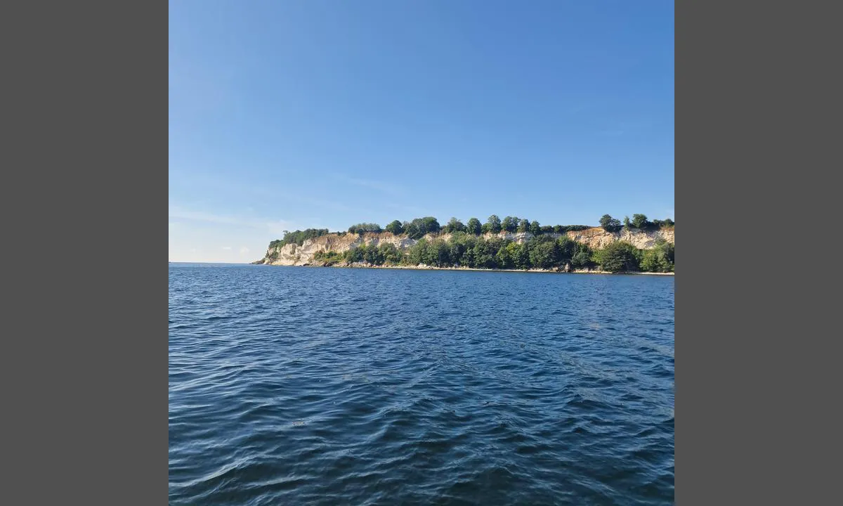
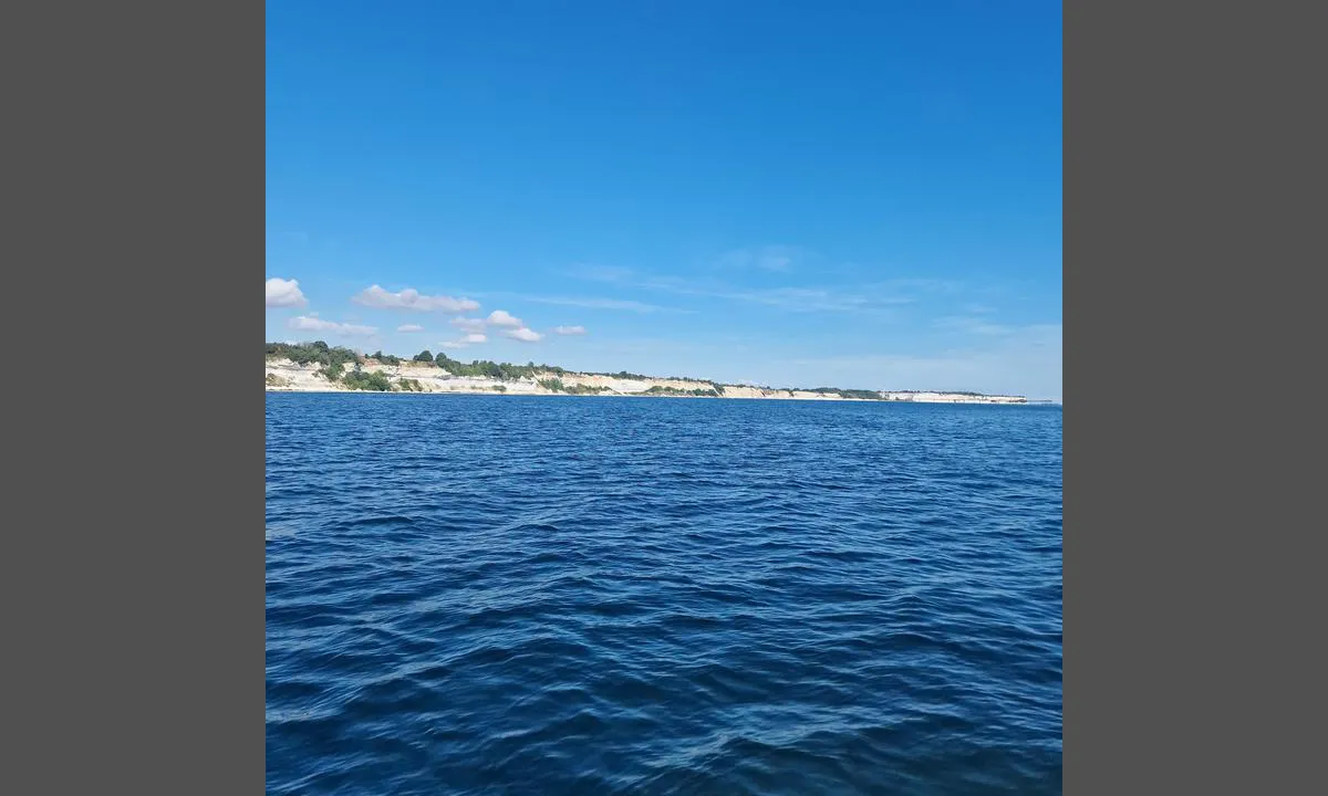
Map of Stevns Klint nord

Wind protection
Protection next night
84 points


Want to know how the wind score works? Then you should read this explanation.
The wind forecasts come from yr.no (Norwegian Meteorological Institute), and was last updated 1 hour and 40 minutes ago (Wednesday 01 July 08:28 PM). The next night score shows you the worst hour between 22:00 and 08:00 the next night. We recommend that you check multiple sources for wind forecasts. windy.com is a good website to show larger wind systems.
The safe directions for this harbour was added at 10. Aug 2022. Click here to edit.
Last visits to Stevns Klint nord
The visits are retrieved from AIS data. You can click to see all visiting ships to Stevns Klint nord, as well as statistics about the ships that visits
Add this harbour to a journey
Choose a different date than today
Important: When you check in to a harbour, you add it to a journey on this website. You are not booking a place in the marina.
Contributors
Users that contributed to this page: Tone Hippocampus
harbourmaps.com is updated by the boating community. When you add information, a review or pictures to this page you are listed here with the other contributors (we list your user-name, which can be your real name or a pseudonym).
Closest harbours to Stevns Klint nord
Filter by
Order by
0 harbours
Show more harbours
