


Utvær
Marina

Region: Norway (3464), Vestland (610), Sogn og Fjordane (219), Solund (18), Hjønnevåg (7) and Kolgrov (5)


Descriptions and reviews
Sailing Sula says:
says:
area

maritime qualities

description
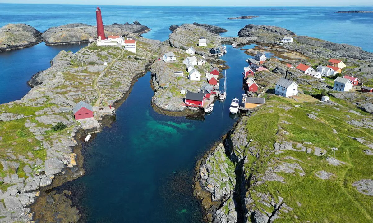
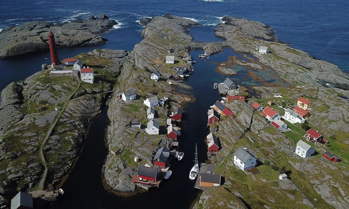
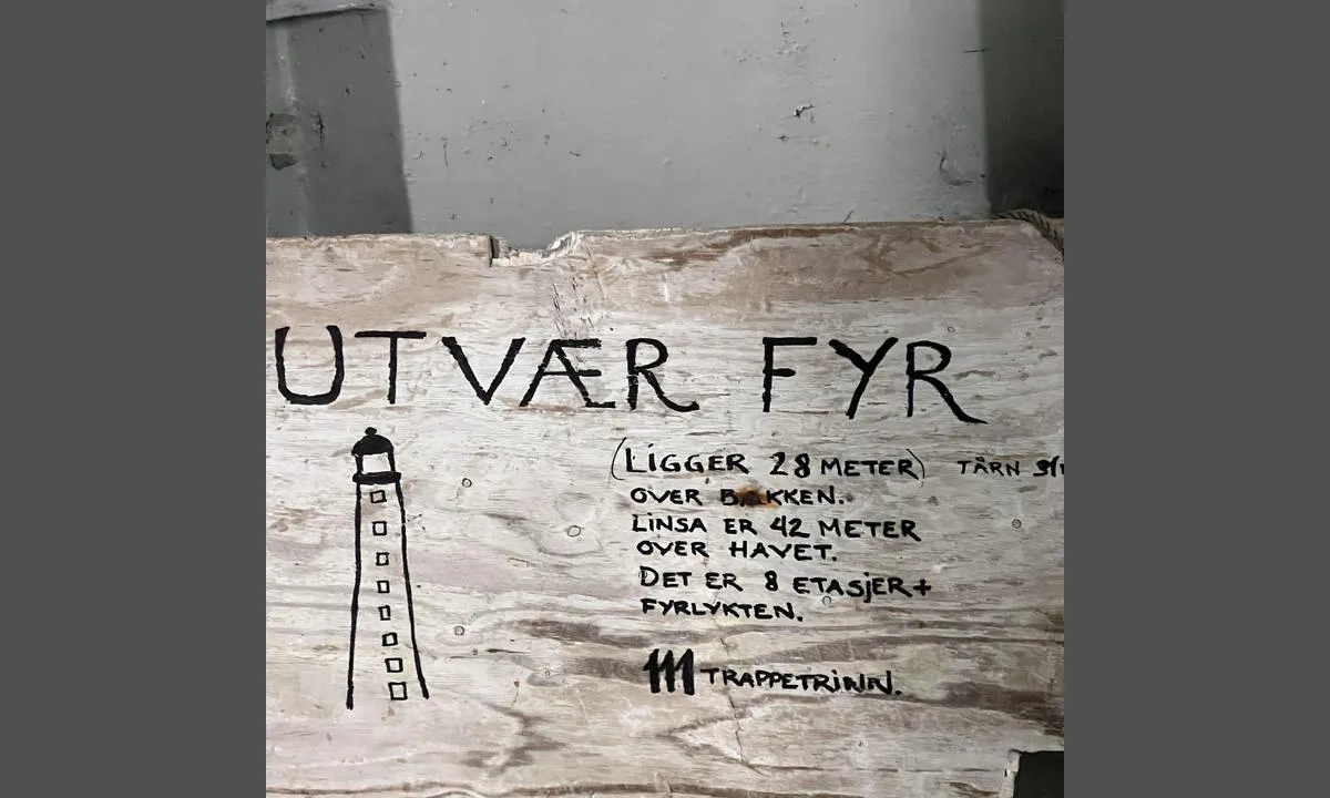
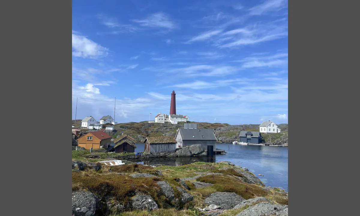
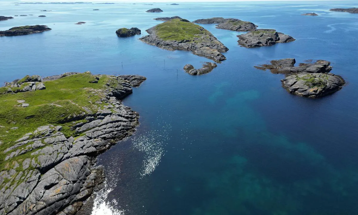
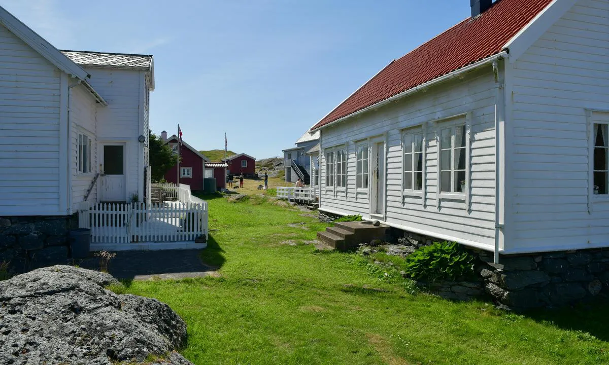
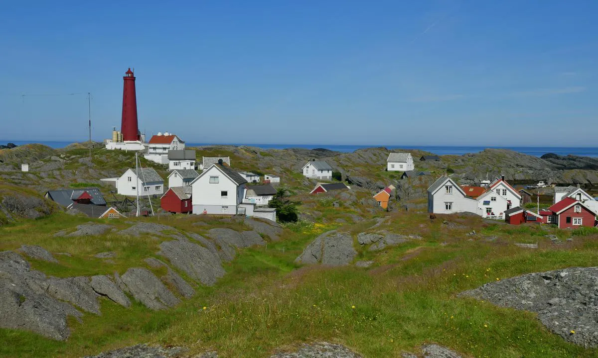
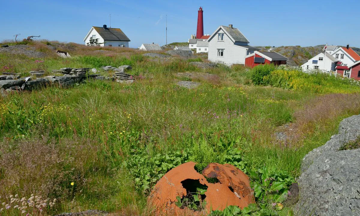
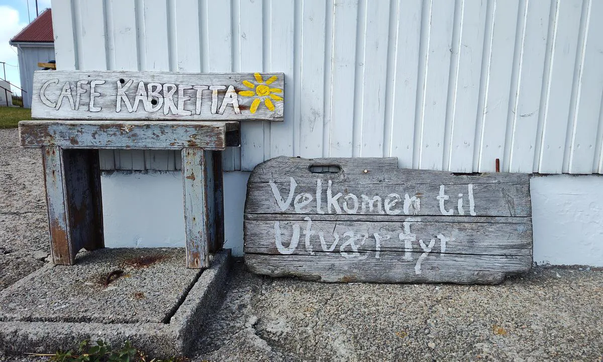
Utvær is a fantastic place. When we were there in the summer of 2025, there was only one permanent resident. We were there before the tourist season and got a guided tour from a couple who were preparing the lighthouse for the season. It doesn't take long to explore Utvær, so one night is usually enough.
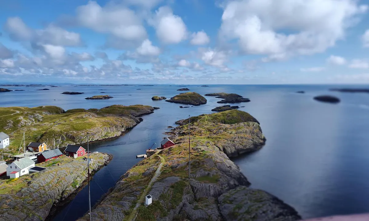
We were heading further north and chose to go through the strait in front of the lighthouse. This was a very bad idea as large swells were crashing into the opening on the north side. For a while, we were unsure if we would end up on land!
There is no electricity and no service building. There is also no 4G/5G at the quay. But if you go a bit up from the quay, you get reception. Our boat has a draft of 220 cm, and we had no problems with depth.
[translated from Norwegian with AI]

1 x helpful | written on 7. May 2026
Bjørn Rise says:
description
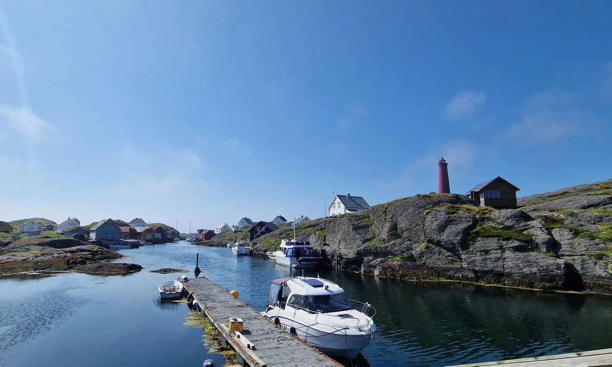
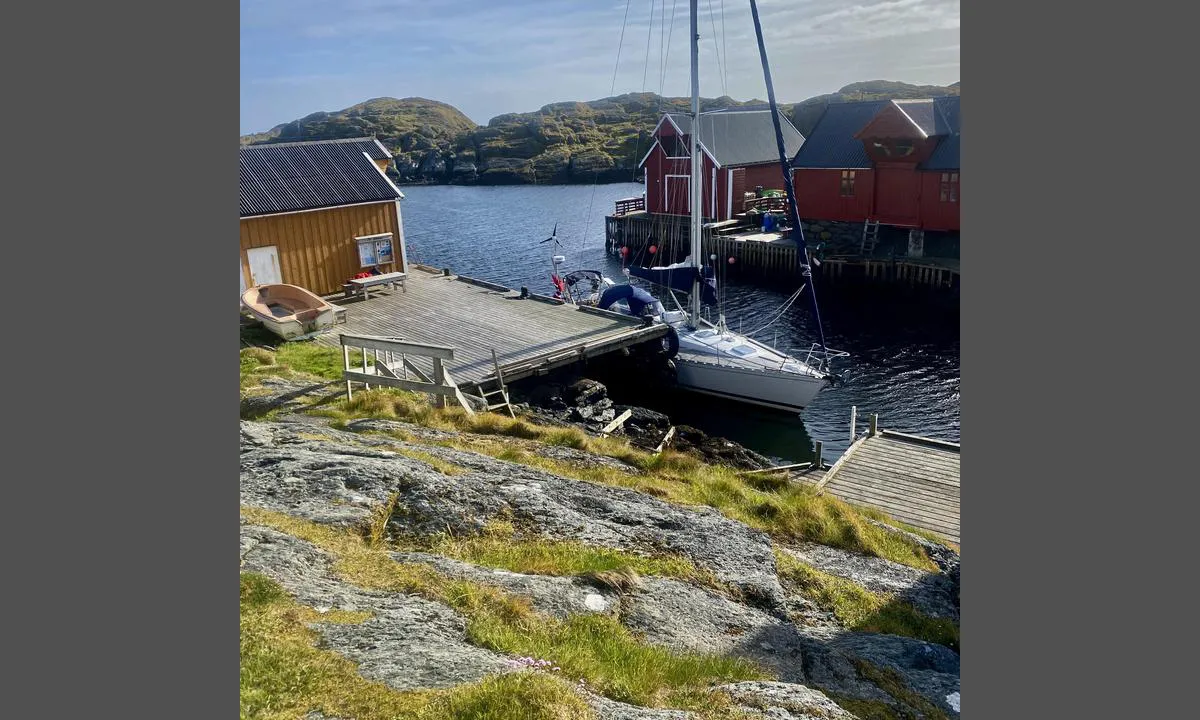
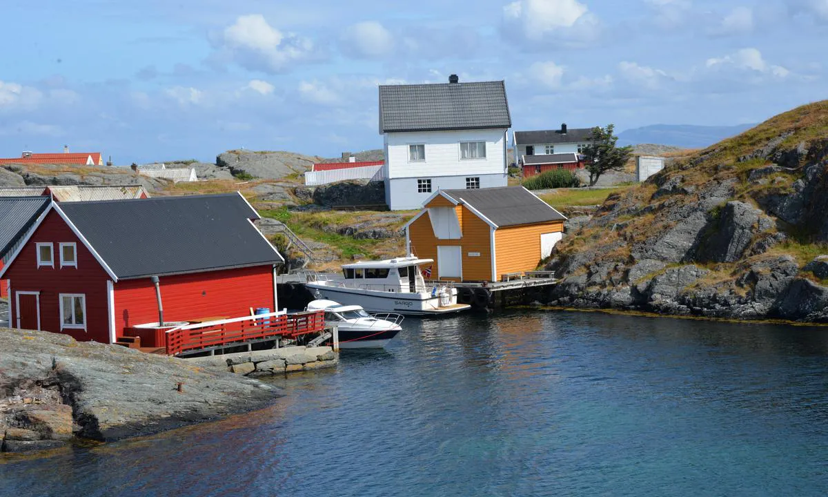
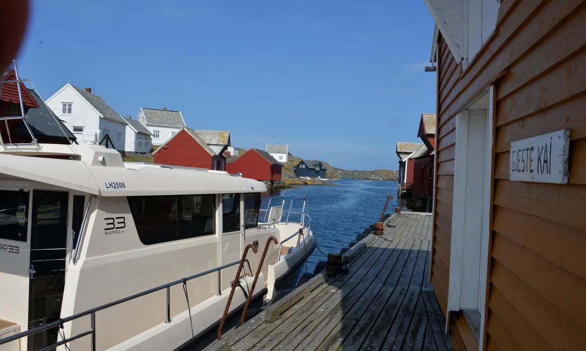
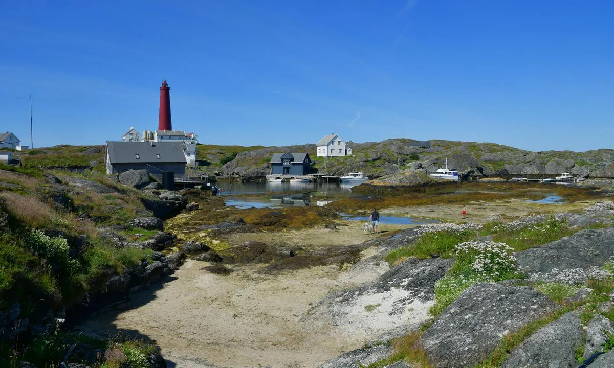
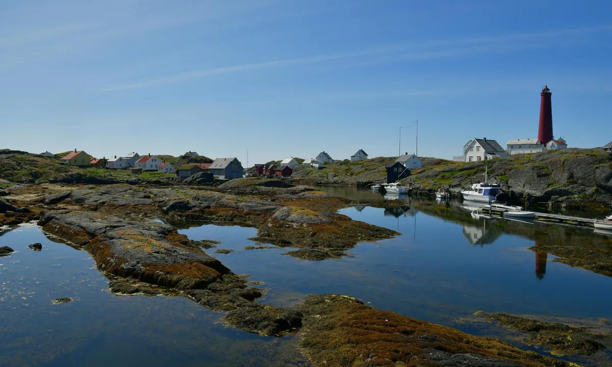
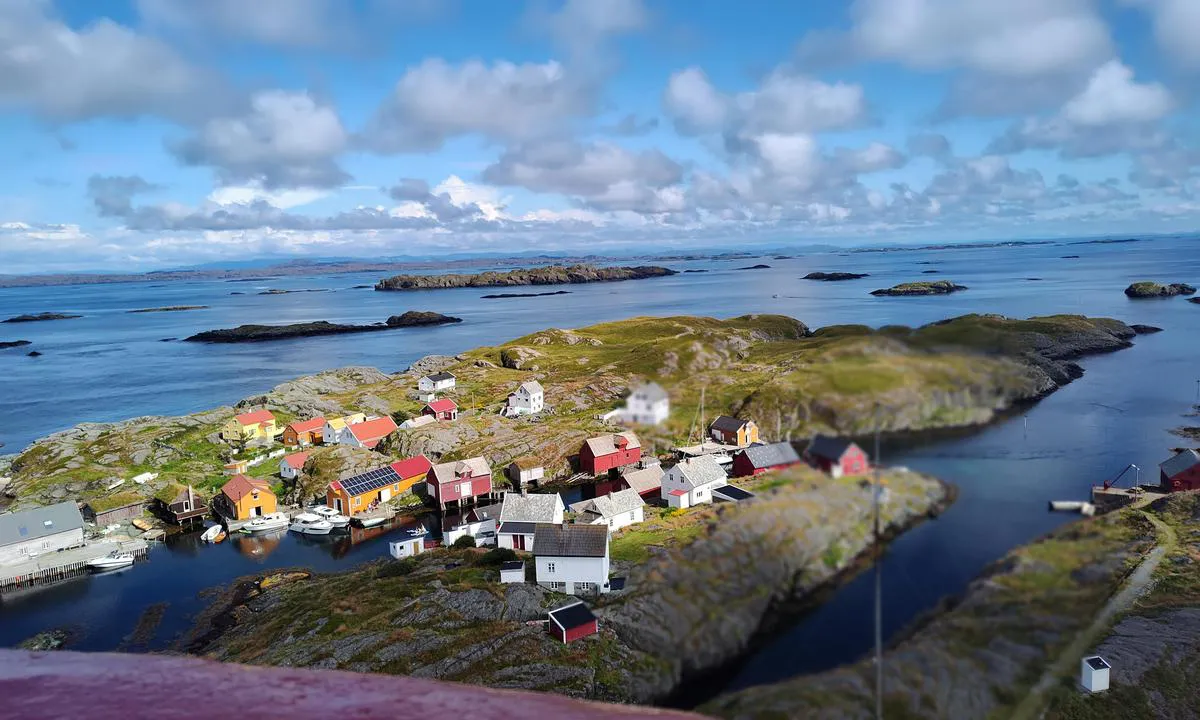
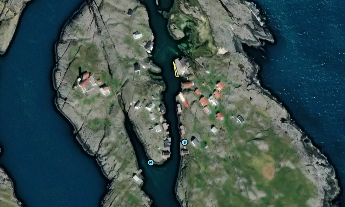
Entry and Maritime Conditions: Upon entering from the south. First dock on the right-hand side.
Ferry also uses the dock approximately once per day.
Mooring: Solid wooden dock approximately 15 meters long in a narrow strait. Sand and rocky bottom. Estimated depth around 2 - 3 meters.
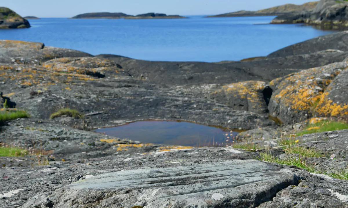
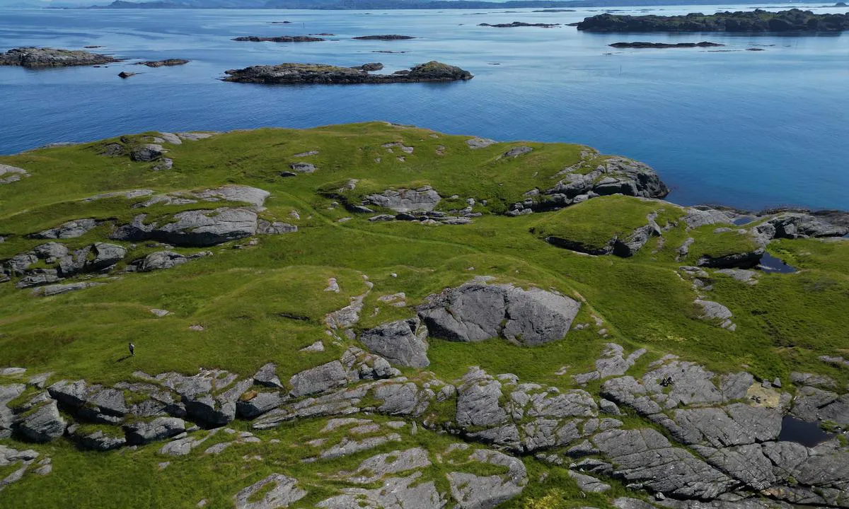
The Area: No roads, only paths on the island. Easy to find the lighthouse, about a 1-km walk.
[translated from Norwegian with AI]
3 x helpful | written on 12. Jan 2022
Do you know this harbour? It's a huge help to other sailors if you add a short description or review of the harbour.
Map of Utvær

Wind protection
Protection next night
84 points


Want to know how the wind score works? Then you should read this explanation.
The wind forecasts come from yr.no (Norwegian Meteorological Institute), and was last updated 1 hour and 22 minutes ago (Tuesday 16 June 02:41 PM). The next night score shows you the worst hour between 22:00 and 08:00 the next night. We recommend that you check multiple sources for wind forecasts. windy.com is a good website to show larger wind systems.
The safe directions for this harbour was added at 12. Jan 2022. Click here to edit.
Last visits to Utvær
Thu 19 Oct 2023 |
|
|
Tue 05 Sep 2023 |
|
|
Sat 26 Aug 2023 |
|
|
Fri 18 Aug 2023 |
|
|
Sun 30 Jul 2023 |
|
|
 ATALANTA [MMSI: 211145680]
 NOTANES [MMSI: 258114090]
The visits are retrieved from AIS data. You can click to see all visiting ships to Utvær, as well as statistics about the ships that visits
Add this harbour to a journey
Choose a different date than today
Important: When you check in to a harbour, you add it to a journey on this website. You are not booking a place in the marina.
Contributors
Users that contributed to this page: PILA på tur, Sailing Sula, Odd Tufte. S/Y Vindreken, Bjørn Rise and GBO
harbourmaps.com is updated by the boating community. When you add information, a review or pictures to this page you are listed here with the other contributors (we list your user-name, which can be your real name or a pseudonym).
Closest harbours to Utvær
Filter by
Order by
0 harbours
Show more harbours
