


Descriptions and reviews
Chris SV Blue Peter says:
says:
area


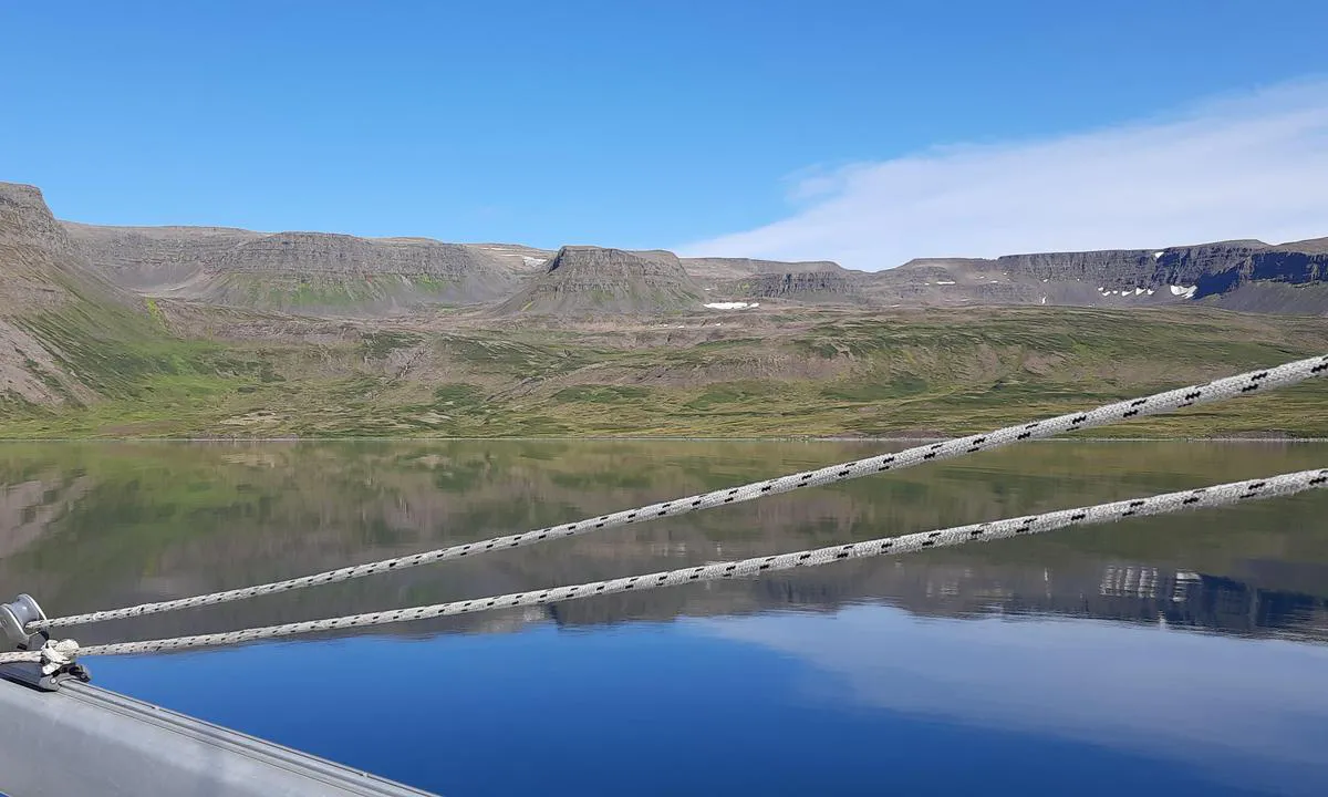
maritime qualities
description
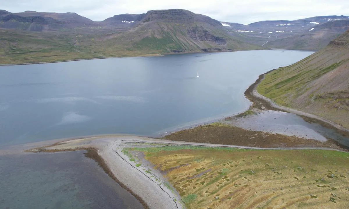
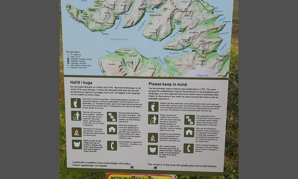
Au nord de Veidileysufjorddur, il y a quatre bons mouillages situés au pied de la réserve naturelle du Hornstrandir. Le départ de la randonnée se trouve sur la côte nord, à 800 mètres avant la fin du fjord. Il est conseillé de bien calculer la marée avant d’y laisser son annexe.
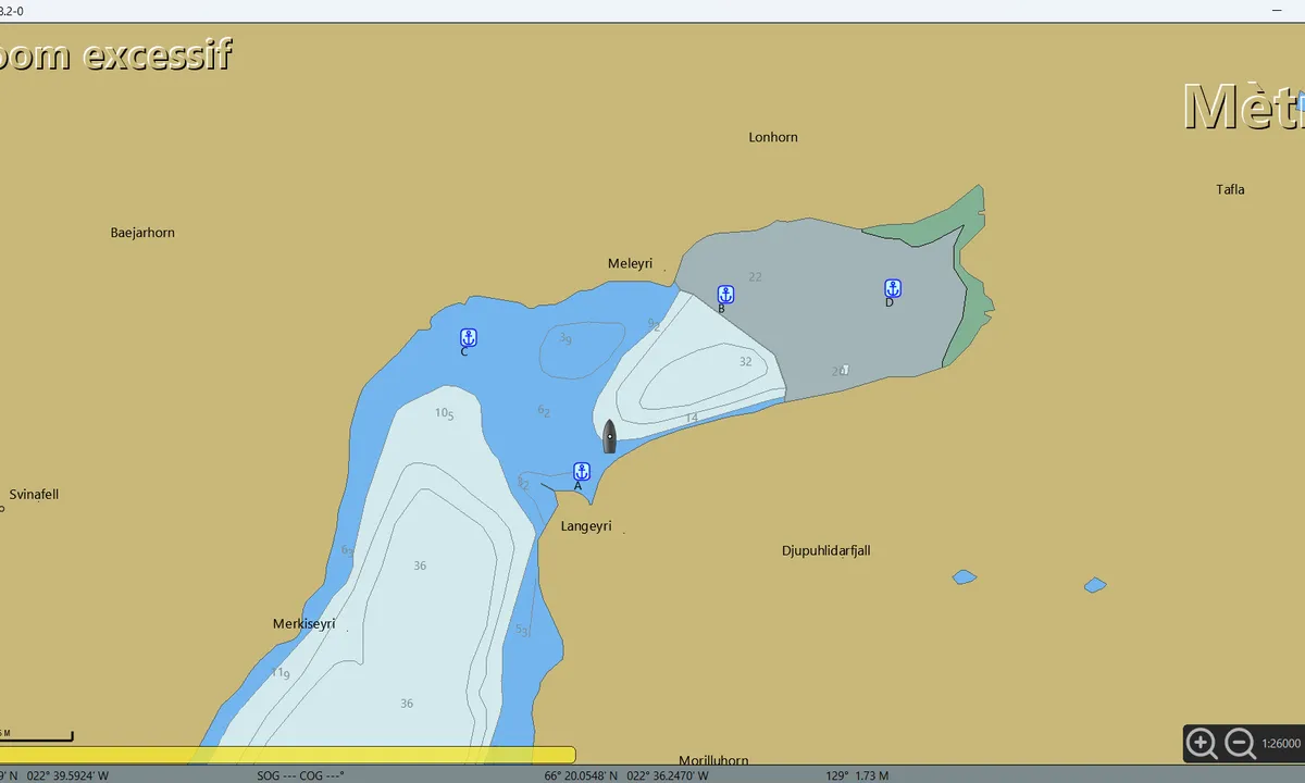
• Mouillage A : 66° 21.0920' N / 022° 39.7894' W. Bien protégé des vents du sud, qui, en s’engouffrant dans le fjord, ont tendance à se renforcer. Ancrage par 5 à 10 mètres de fond, sur substrat de boue compacte mêlée d’algues.
• Mouillage B : 66° 21.6476' N / 022° 38.5654' W. Bien protégé des vents du nord. On ancre par 20 à 24 mètres de profondeur, sur une vase compacte de bonne tenue.
Attention : toute la côte nord du fjord, non cartographiée, n’est pas franche. Il ne faut pas s’en approcher à moins de 400 mètres.
• Mouillage C : 66° 21.4952' N / 022° 40.8493' W. Très beau mouillage au pied des cascades. On jette l’ancre par 6 à 7 mètres de fond.
• Mouillage D : 66° 21.6707' N / 022° 37.0813' W. C’est le mouillage le plus proche du départ de la randonnée.
Approche : la zone n’est pas cartographiée ; la côte nord n’étant pas franche, on accède au mouillage en restant au milieu du fjord. On ancre par 20 à 24 mètres de profondeur, sur une vase compacte. Par vent du nord, les deux vallées produisent un effet venturi qui ne se ressent pas au mouillage A.

1 x helpful | written on 27. Jul 2025 | updated_on 28. Jul 2025
Do you know this harbour? It's a huge help to other sailors if you add a short description or review of the harbour.
Map of Veiðileysufjörður (upper reaches)

Wind protection
Protection next night
82 points


Want to know how the wind score works? Then you should read this explanation.
The wind forecasts come from yr.no (Norwegian Meteorological Institute), and was last updated 4 hours and 11 minutes ago (Saturday 04 July 01:15 AM). The next night score shows you the worst hour between 22:00 and 08:00 the next night. We recommend that you check multiple sources for wind forecasts. windy.com is a good website to show larger wind systems.

The safe wind directions for this harbour has been decided by an algorithm, based on how elevated the land around the harbour is. It's mostly correct, but sometimes the underlying data about elevation levels is not good enough to make correct decisions. It's a great help to other if you can validate or adjust the safe wind directions. You can see the data used by the algorithm to decide the safe wind directions by clicking here.
Last visits to Veiðileysufjörður (upper reaches)
The visits are retrieved from AIS data. You can click to see all visiting ships to Veiðileysufjörður (upper reaches), as well as statistics about the ships that visits
Add this harbour to a journey
Choose a different date than today
Important: When you check in to a harbour, you add it to a journey on this website. You are not booking a place in the marina.
Contributors
Users that contributed to this page: Chris SV Blue Peter
harbourmaps.com is updated by the boating community. When you add information, a review or pictures to this page you are listed here with the other contributors (we list your user-name, which can be your real name or a pseudonym).
Closest harbours to Veiðileysufjörður (upper reaches)
Filter by
Order by
0 harbours
Show more harbours
