


TAMATA, MMSI: 227807760
 France
Follow the journey


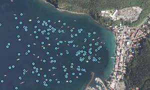
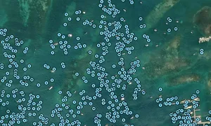

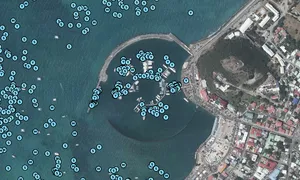


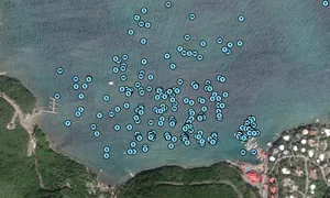


Images of TAMATA

Journey statistics
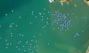
Preferred harbour type
2024
11% marina
natural harbour 89%
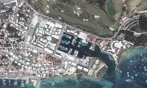
2023
75% marina
natural harbour 25%

France
Follow the journey
Images of TAMATA
Journey statistics
Preferred harbour type
2024
11% marina
natural harbour 89%
2023
75% marina
natural harbour 25%