


KOUMATA, MMSI: 228196640
 France
Follow the journey


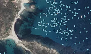


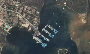
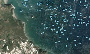
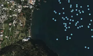


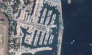
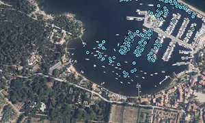
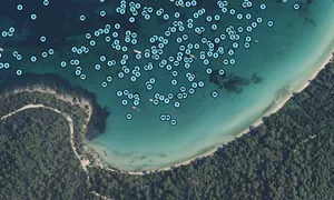

Images of KOUMATA

Journey statistics
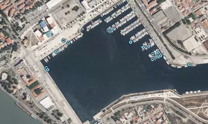
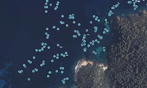
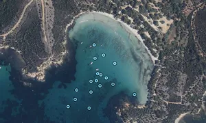
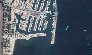
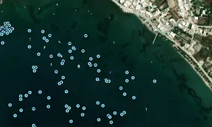
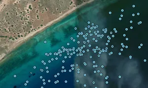
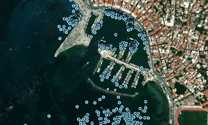
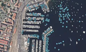
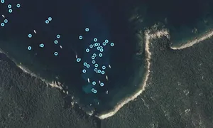
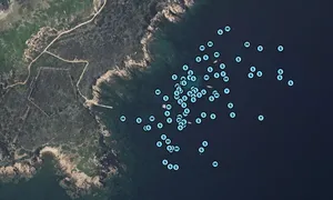
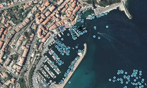
Preferred harbour type
2026
25% marina
natural harbour 75%
2025
18% marina
natural harbour 82%
2024
50% marina
natural harbour 50%
2023
17% marina
natural harbour 83%
