


FAR BLUE, MMSI: 256001704
 Malta
Malta
Follow the journey


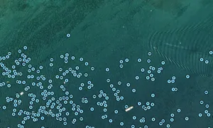
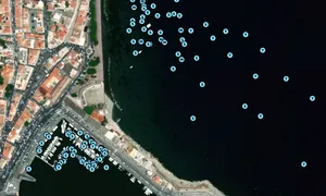

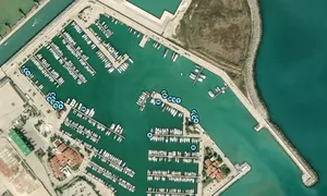
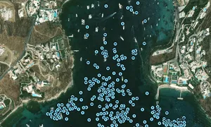
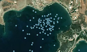
Images of FAR BLUE

Journey statistics
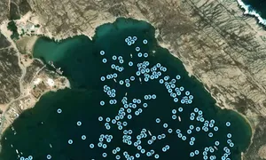
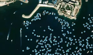
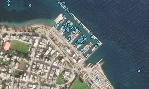
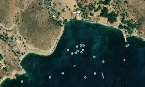
Preferred harbour type
2024
0% marina
natural harbour 100%
2023
21% marina
natural harbour 79%

Malta
Follow the journey
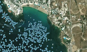
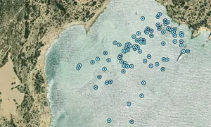
Images of FAR BLUE
Journey statistics
Preferred harbour type
2024
0% marina
natural harbour 100%
2023
21% marina
natural harbour 79%