harbourmaps.com
Search for marinas, anchorages, ships, MMSI, ++
Guide to understand the wind scores
Where in the harbour can you moor and anchor?
Explanation of icons
Log in
Top contributing users
Thematic lists of harbours
Terms of use, privacy & GDPR
Terms of sale
Canada
Follow the journey
2024
Mandag 12 Februar 2024
Deshaies Bay
Søndag 11 Februar 2024
Jolly Harbour
Lørdag 10 Februar 2024
Ledeatt Cove
Fredag 09 Februar 2024
North Sound Boatyard and Marina
Tirsdag 06 Februar 2024
Red Head Anchorage
Mandag 05 Februar 2024
Unnamed harbour
Søndag 04 Februar 2024
Five Islands - Jennings
Torsdag 01 Februar 2024
Mandag 29 Januar 2024
Lørdag 27 Januar 2024
Søndag 21 Januar 2024
White House Bay
Torsdag 04 Januar 2024
Marigot
Tirsdag 02 Januar 2024
Capitainerie Port La Royale
Mandag 01 Januar 2024
Marina Fort Louis - Marigot
2023
Torsdag 28 Desember 2023
Onsdag 27 Desember 2023
Non windy part of grand case
Tirsdag 26 Desember 2023
Tintamarre Island
Mandag 25 Desember 2023
Ile Fourchue
Søndag 24 Desember 2023
Anse de Colombier
Lørdag 23 Desember 2023
Gustavia
Torsdag 21 Desember 2023
Tirsdag 19 Desember 2023
Lørdag 16 Desember 2023
The Lagoon
Fredag 15 Desember 2023
Lørdag 09 Desember 2023
White Bay Beach
Fredag 08 Desember 2023
Lørdag 02 Desember 2023
Great Harbour - Belle Vue
Lørdag 30 September 2023
Curacao Marine - Santa Maria
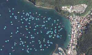
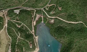
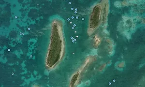
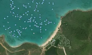
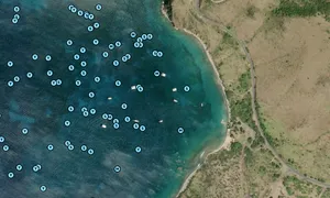
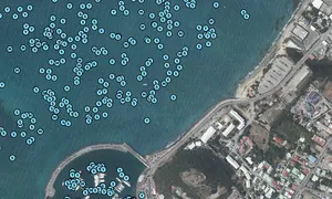
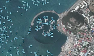
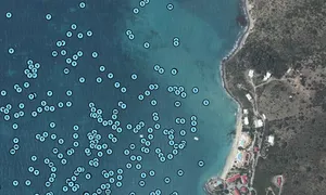
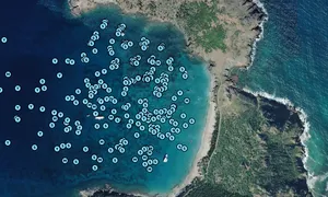
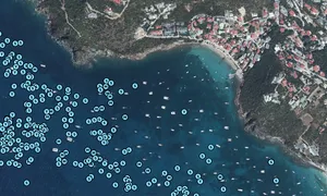
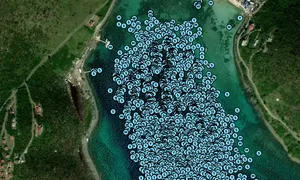
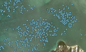
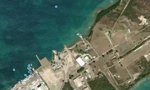
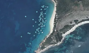
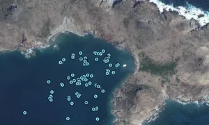
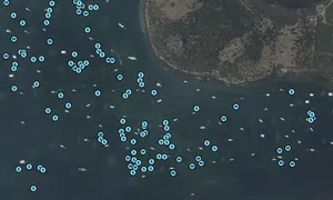
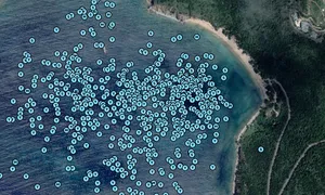
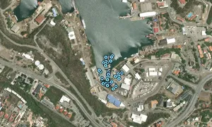
Images of SEANIC ROUTE
📸 Upload a photo
Share a photo of SEANIC ROUTE. Uploading a photo takes less than a minute and can be done from your phone, tablet or laptop.
About the ship
Owner
[add]
MMSI
316050818
Callsign
Sail number
Lenght
15m / 49.2ft
Draft (depth)
Height
Width
3m / 9.8ft
Ship type
Sailing Vessel
Builder and make
Year build
Engine
Edit the ship info
Journey statistics
Preferred harbour type
30% marina
natural harbour 70%
18% marina
natural harbour 82%