


Romsa
Natural harbour

Region: Norway (3463), Hordaland (401), Rogaland (243), Vindafjord (14) and Kjellasviki (7)

 , uploaded on 8. Aug 2025


Descriptions and reviews
OCK says:
description
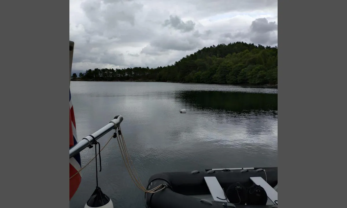
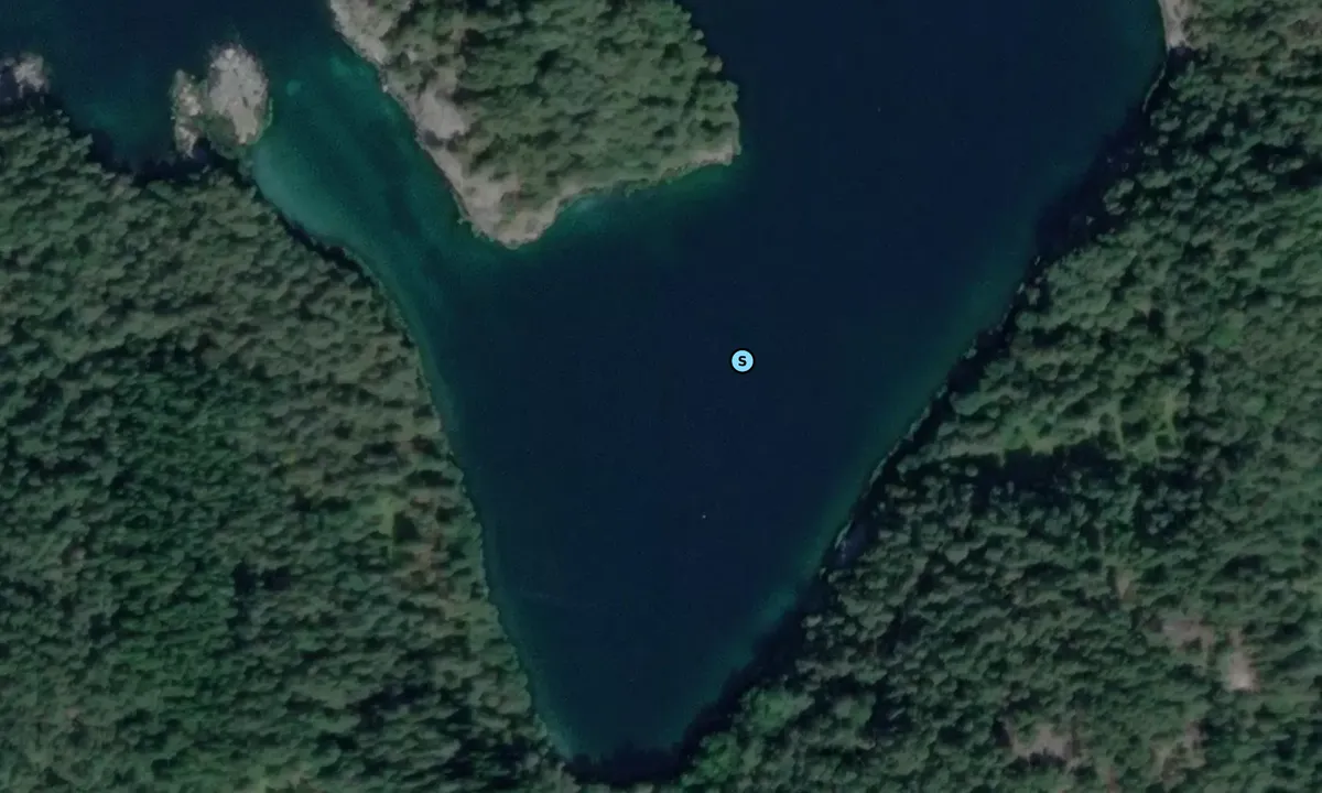
Approach and maritime conditions: Bay on the north side of Romsa. Approach from the north side, well marked on the chart. According to the chart, there is about 8.9m depth at the mooring buoy.
Anchoring: Moor to the mooring buoy.
[translated from Norwegian with AI]

1 x helpful | written on 2. Jun 2021
Do you know this harbour? It's a huge help to other sailors if you add a short description or review of the harbour.
Map of Romsa

Wind protection
Protection next night
92 points


Want to know how the wind score works? Then you should read this explanation.
The wind forecasts come from yr.no (Norwegian Meteorological Institute), and was last updated 1 hour and 51 minutes ago (Sunday 21 June 04:28 PM). The next night score shows you the worst hour between 22:00 and 08:00 the next night. We recommend that you check multiple sources for wind forecasts. windy.com is a good website to show larger wind systems.
The safe directions for this harbour was added at None. Click here to edit.
Last visits to Romsa
Thu 31 Aug 2023 |
|
|
Tue 01 Aug 2023 |
|
|
 FREYJA [MMSI: 257724490]
The visits are retrieved from AIS data. You can click to see all visiting ships to Romsa, as well as statistics about the ships that visits
Add this harbour to a journey
Choose a different date than today
Important: When you check in to a harbour, you add it to a journey on this website. You are not booking a place in the marina.
Closest harbours to Romsa
Filter by
Order by
0 harbours
Show more harbours
