


Kyrkosund
Marina

Region: Sweden (2144), Västra Götaland (661), Västkusten (532), Bohuslän (502), Koster (43), Sydkoster (35) and Kyrkosund (1)


Descriptions and reviews
Stig Ulfsby
 says:
says:
description
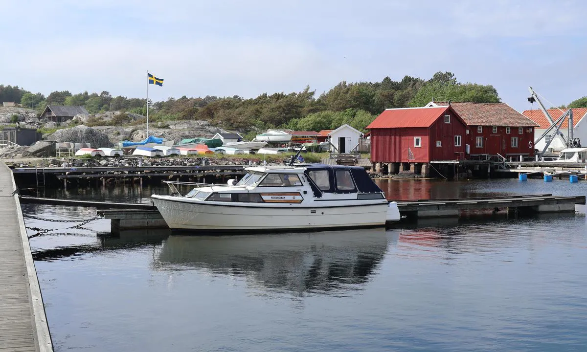
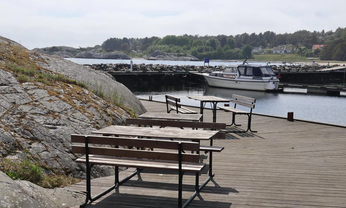
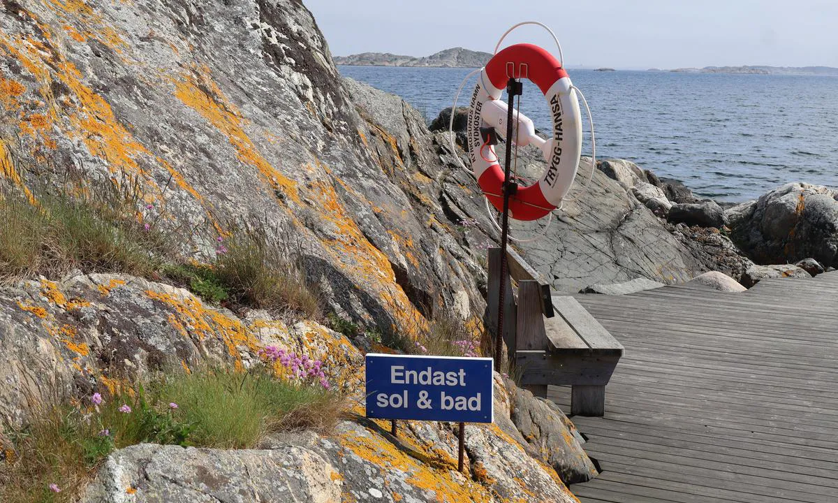
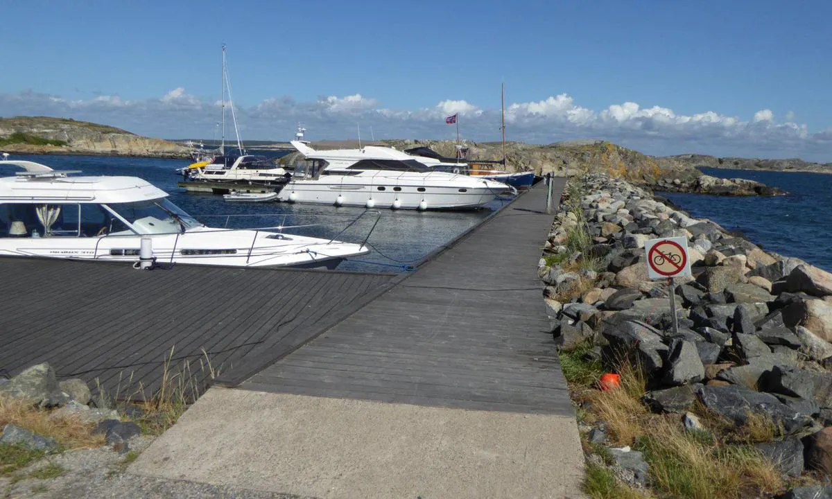
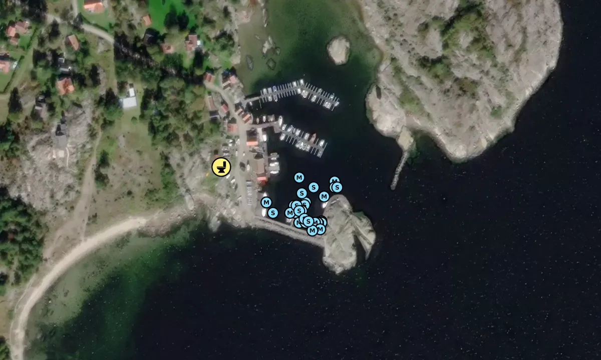
Kyrkosund, located at the southern tip of South Koster, faces the archipelago and is somewhat of a natural harbor. Here, there are old sea houses, wooden piers, and a charming environment. Southerly winds blow strongly here, but you lie safely within the breakwater. There is a beach right by the breakwater. If it blows too much on the beach, you can walk or bike to Kilesand, which is just over 1 km away. It is a long, lovely sandy beach that faces east and is sheltered from the southwest winds. It is about 3 km to the store in the middle of the island.
[translated from Norwegian with AI]

2 x helpful | written on 24. Jul 2022 | updated_on 24. Jul 2022
Do you know this harbour? It's a huge help to other sailors if you add a short description or review of the harbour.
Map of Kyrkosund

Wind protection
Protection next night
87 points


Want to know how the wind score works? Then you should read this explanation.
The wind forecasts come from yr.no (Norwegian Meteorological Institute), and was last updated 1 hour and 49 minutes ago (Thursday 25 June 07:28 AM). The next night score shows you the worst hour between 22:00 and 08:00 the next night. We recommend that you check multiple sources for wind forecasts. windy.com is a good website to show larger wind systems.

The safe wind directions for this harbour has been decided by an algorithm, based on how elevated the land around the harbour is. It's mostly correct, but sometimes the underlying data about elevation levels is not good enough to make correct decisions. It's a great help to other if you can validate or adjust the safe wind directions. You can see the data used by the algorithm to decide the safe wind directions by clicking here.
Last visits to Kyrkosund
Thu 10 Jul 2025 |
|
|
Thu 17 Apr 2025 |
|
|
Thu 01 Aug 2024 |
|
|
|
|
Sat 20 Jul 2024 |
|
|
 TUSSI [MMSI: 258108890]
 EVANGELINE [MMSI: 265654330]
The visits are retrieved from AIS data. You can click to see all visiting ships to Kyrkosund, as well as statistics about the ships that visits
Add this harbour to a journey
Choose a different date than today
Important: When you check in to a harbour, you add it to a journey on this website. You are not booking a place in the marina.
Contributors
Users that contributed to this page: Olav Pekeberg, FRT, Den enbeinte skipper, Marius Stener Hansen, Stig Ulfsby and Sverre Buer
harbourmaps.com is updated by the boating community. When you add information, a review or pictures to this page you are listed here with the other contributors (we list your user-name, which can be your real name or a pseudonym).
Closest harbours to Kyrkosund
Filter by
Order by
0 harbours
Show more harbours
