


Descriptions and reviews
Jonny Sollid says:
says:
area


maritime qualities
description
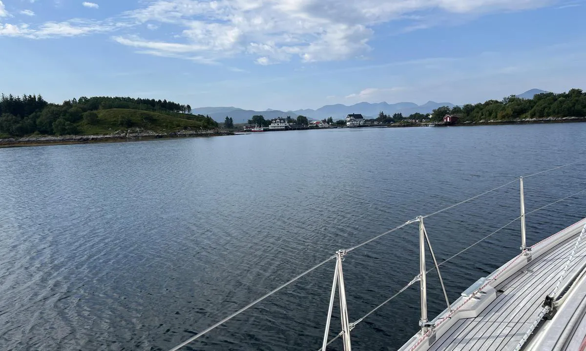
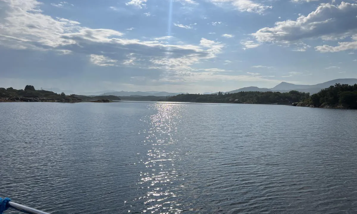
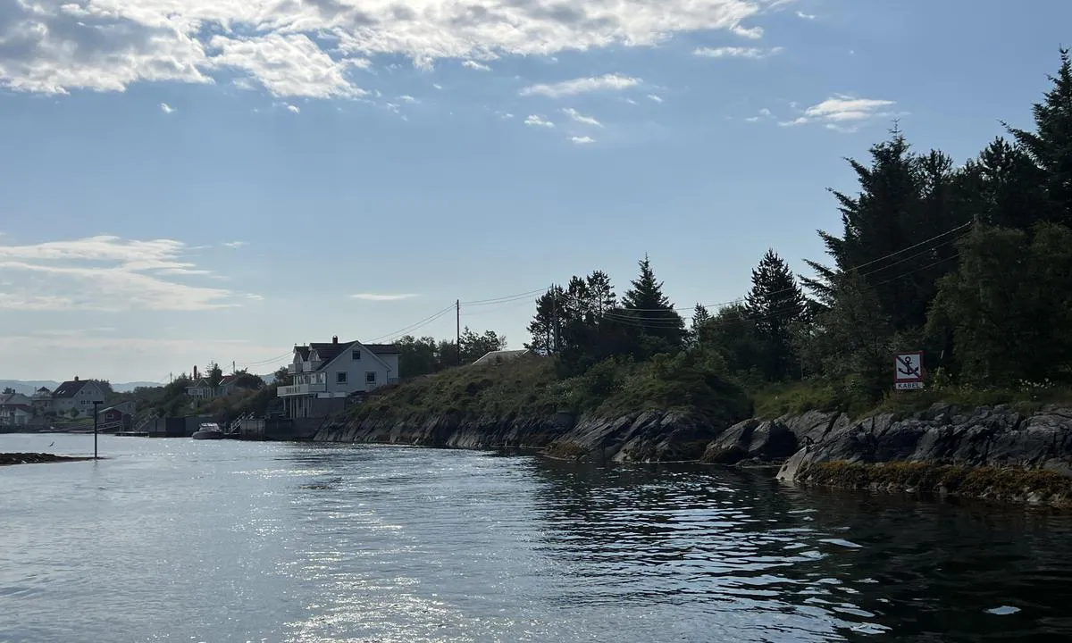
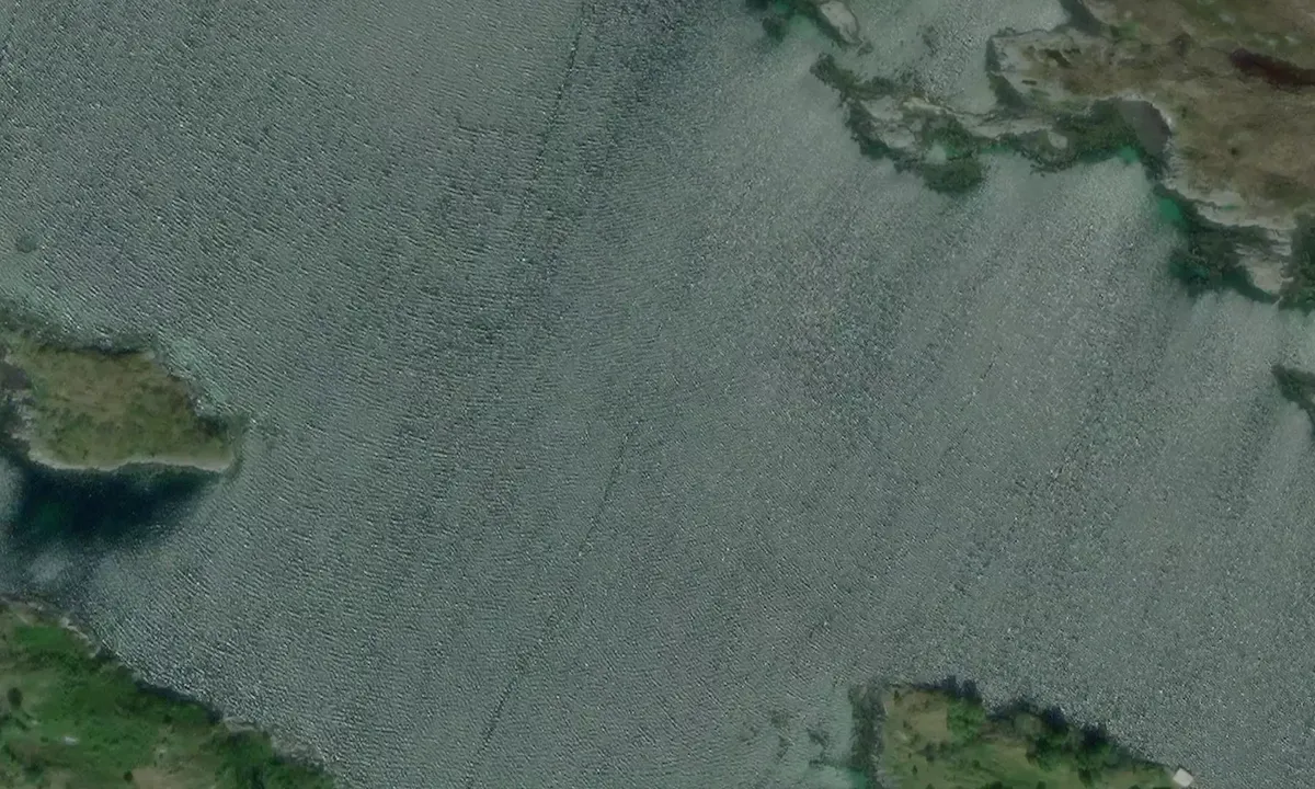
Romsleg våg med ankring i mange himmelretningar. Plass til mange båtar på svai. Innsegling mellom Tennskjæret og Rangøya kan sjå trang ut på kartet, men her er det ca 15m bredde og 5m dybde på fjøre sjø. Høgspent som er markert på kartet er lagt i sjøkabel så her er fritt løp også for større seglbåtar. Området som er market med 10m dybde på sjøkart er der fjell/stein så det rasler i kjetting, men godt hold. Elles er der fast mudderbunn og godt feste for anker.

1 x helpful | written on 19. Jul 2025 | updated_on 19. Jul 2025
Do you know this harbour? It's a huge help to other sailors if you add a short description or review of the harbour.
Map of Setervågen

Wind protection
Protection next night
81 points


Want to know how the wind score works? Then you should read this explanation.
The wind forecasts come from yr.no (Norwegian Meteorological Institute), and was last updated 1 hour and 57 minutes ago (Wednesday 24 June 09:28 PM). The next night score shows you the worst hour between 22:00 and 08:00 the next night. We recommend that you check multiple sources for wind forecasts. windy.com is a good website to show larger wind systems.
The safe directions for this harbour was added at 21. Jul 2025. Click here to edit.
Last visits to Setervågen
The visits are retrieved from AIS data. You can click to see all visiting ships to Setervågen, as well as statistics about the ships that visits
Add this harbour to a journey
Choose a different date than today
Important: When you check in to a harbour, you add it to a journey on this website. You are not booking a place in the marina.
Contributors
Users that contributed to this page: Jonny Sollid
harbourmaps.com is updated by the boating community. When you add information, a review or pictures to this page you are listed here with the other contributors (we list your user-name, which can be your real name or a pseudonym).
Closest harbours to Setervågen
Filter by
Order by
0 harbours
Show more harbours
