


SANG BAYU, MMSI: 503597700
 Australia
Follow the journey

Images of SANG BAYU

Journey statistics
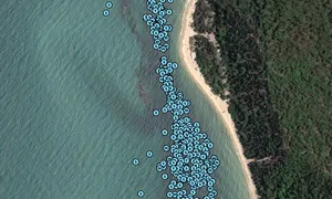
Preferred harbour type
2026
0% marina
natural harbour 100%
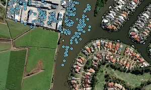
2024
0% marina
natural harbour 100%
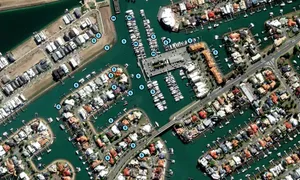
2023
100% marina
natural harbour 0%

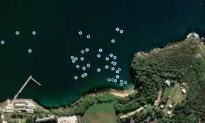
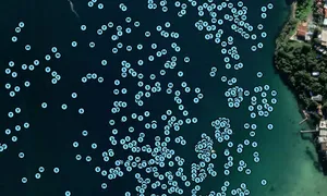
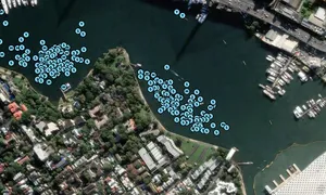
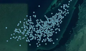
Australia
Follow the journey
Images of SANG BAYU
Journey statistics
Preferred harbour type
2026
0% marina
natural harbour 100%
2024
0% marina
natural harbour 100%
2023
100% marina
natural harbour 0%