


Ådnøya
Natural harbour

Region: Norway (3516), Vestland (620), Hordaland (408), Alver (28), Austrheim (12) and Lindås (1)


Descriptions and reviews
Martin Henskes
 says:
says:
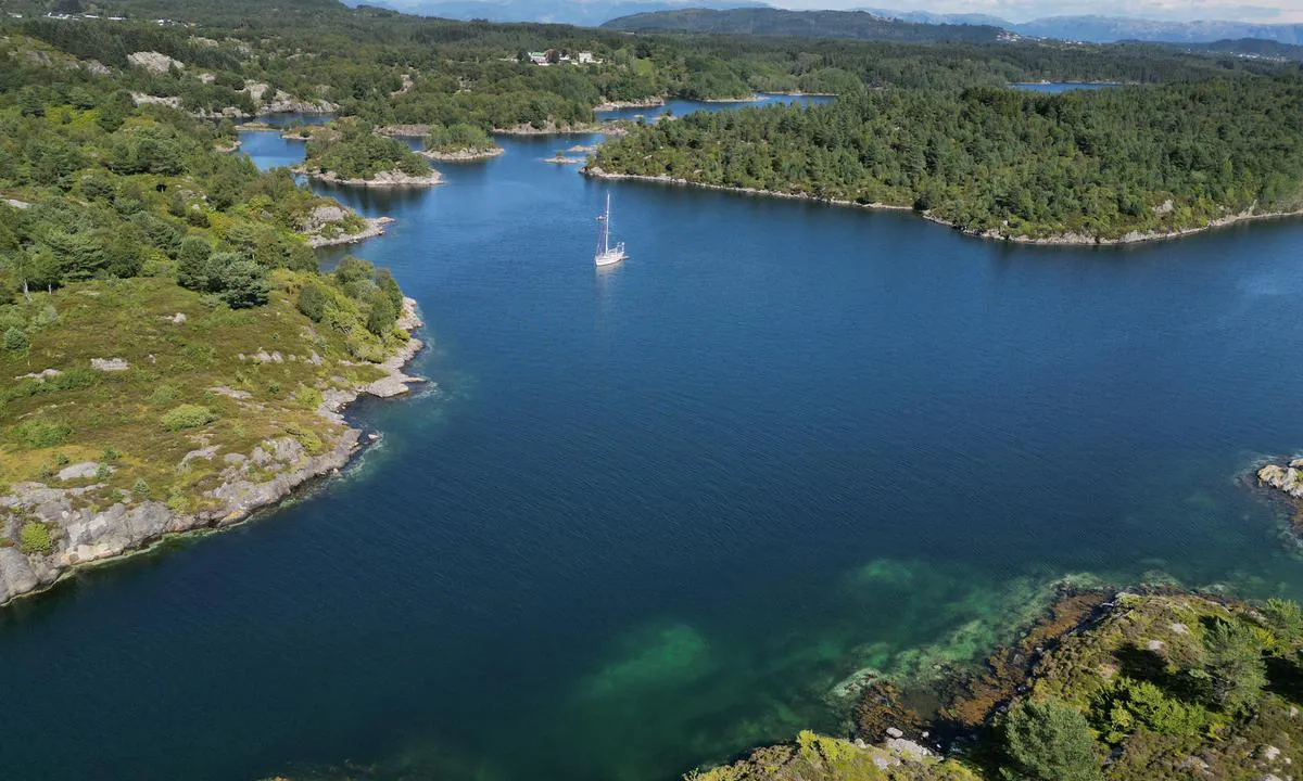
area

maritime qualities

description
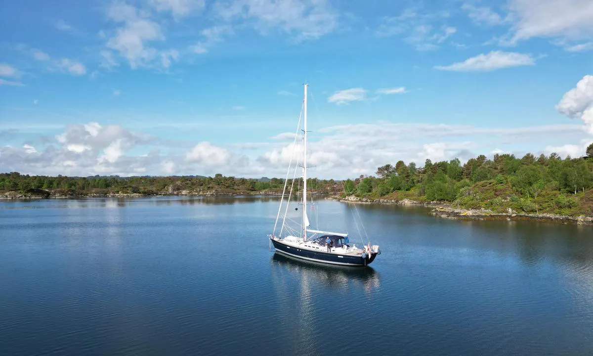
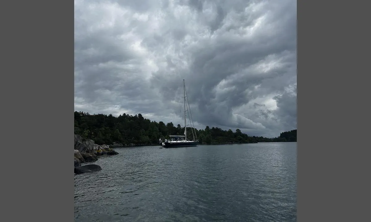
Lovely and good sheltered area, with good anchoring. Dropped the anchor at 19m and holds perfectly. Nice to explore with the rib. Entrance is at least 6 m deep, watch the charts for the shallow rocks in the middle.

1 x helpful | written on 5. Jun 2026 | updated_on 6. Jun 2026
TESO says:
says:
description
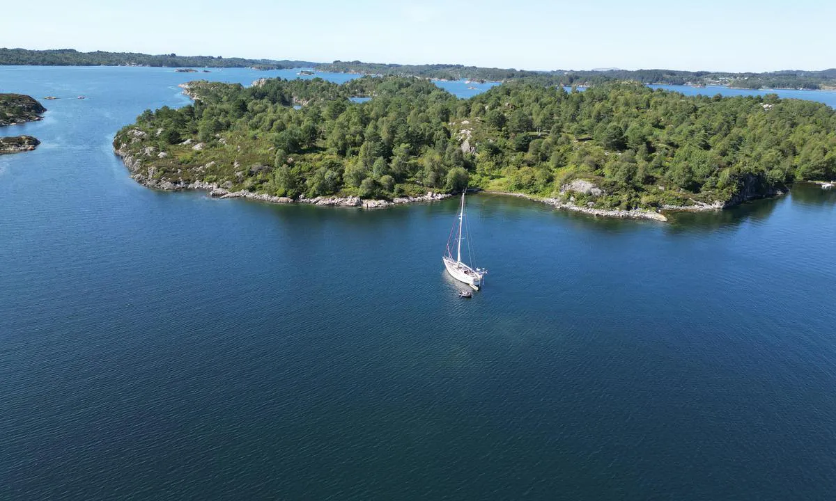
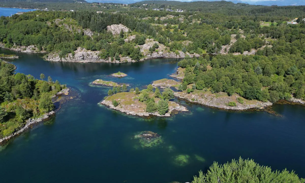
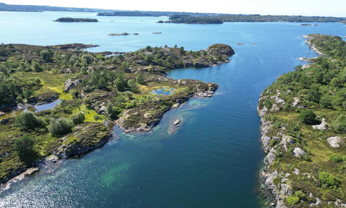
Approach and Maritime Conditions: From the north/east side of Lurefjorden, one can find the way into a system of coves, bays, straits, and islets. Be aware that some currents can set in the strait between Ådnøy and Engholmen.
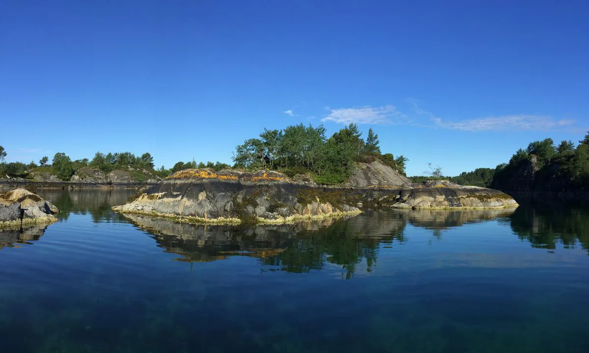
Inside the coves, there are many unmarked shoals and reefs that barely rise above the water. They are marked on charts, but there are no stakes. The charted positions also differ somewhat from their actual locations.
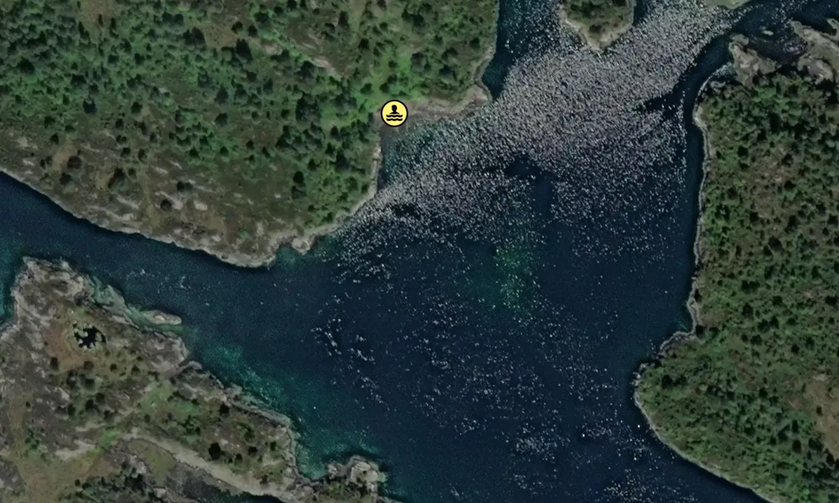
One should not attempt to navigate through Veråsstraumen except with a dinghy due to the shallow depth in the current. There is also at times very strong tidal current here.
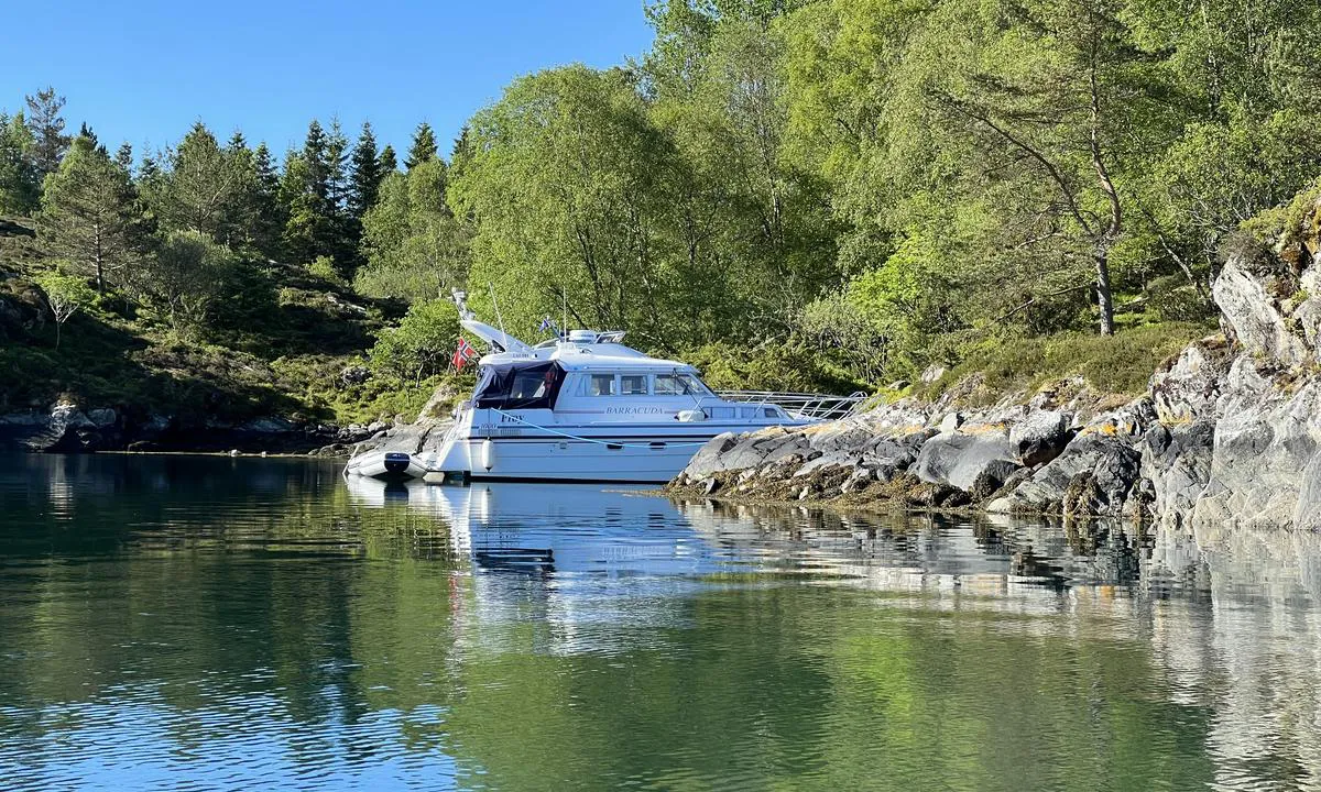
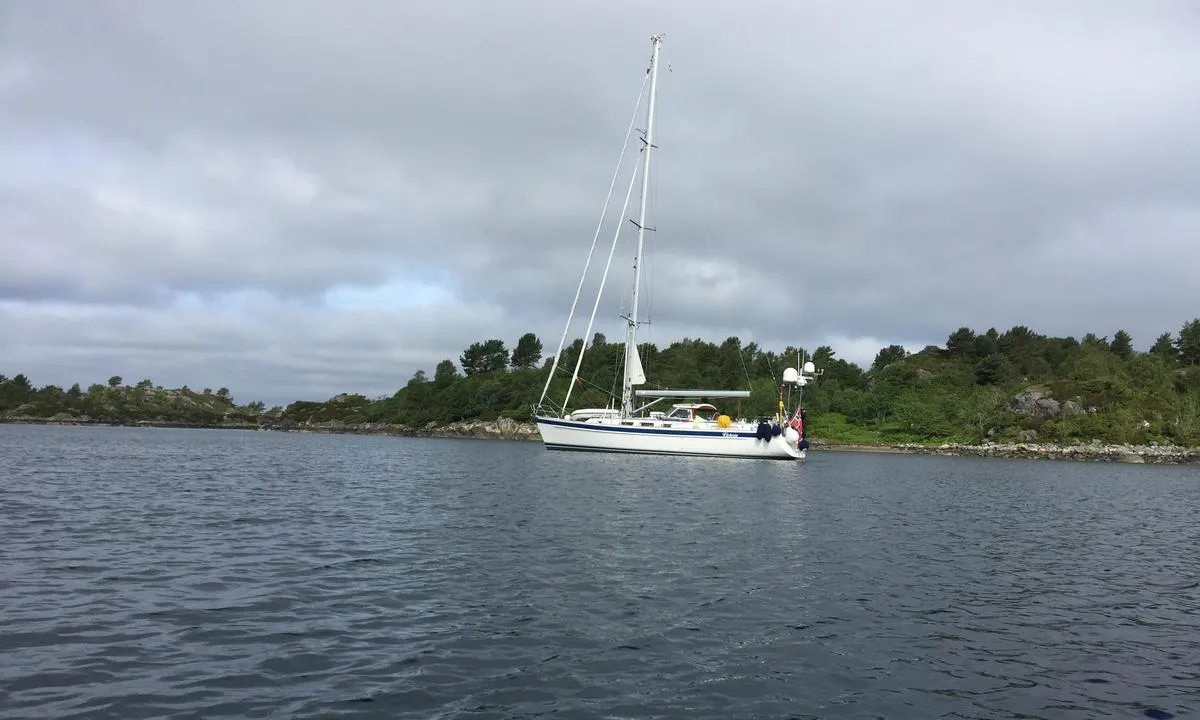
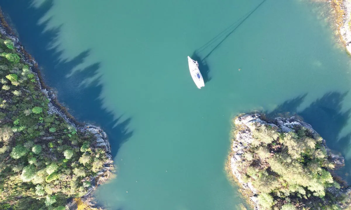
Anchoring: Either anchor towards land or swing freely. In a few places, it is possible to moor alongside with good/large fenders.
Plenty of places to moor. Inside, you will find sheltered spots regardless of wind direction. Good holding ground for anchors with varying bottoms from sand to mud.
There are no bolts in the rocks, so bringing your own is necessary. In some places, you can tie to trees.
Depths vary from 1-2 meters to approximately 30 meters.
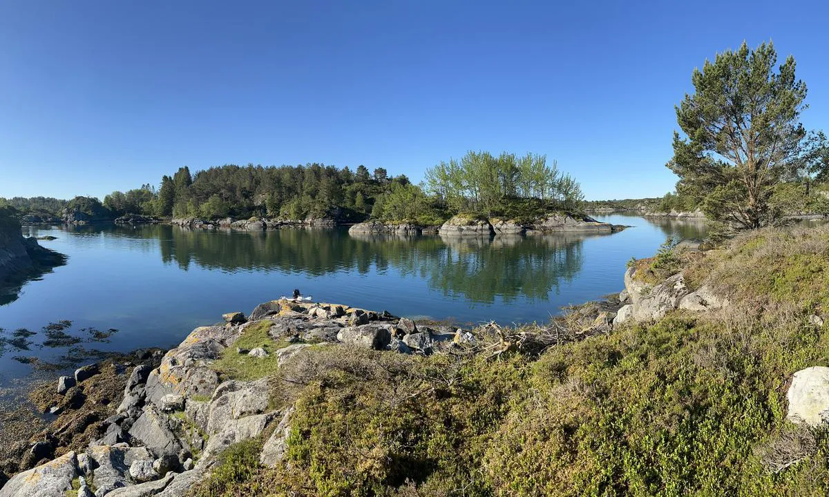
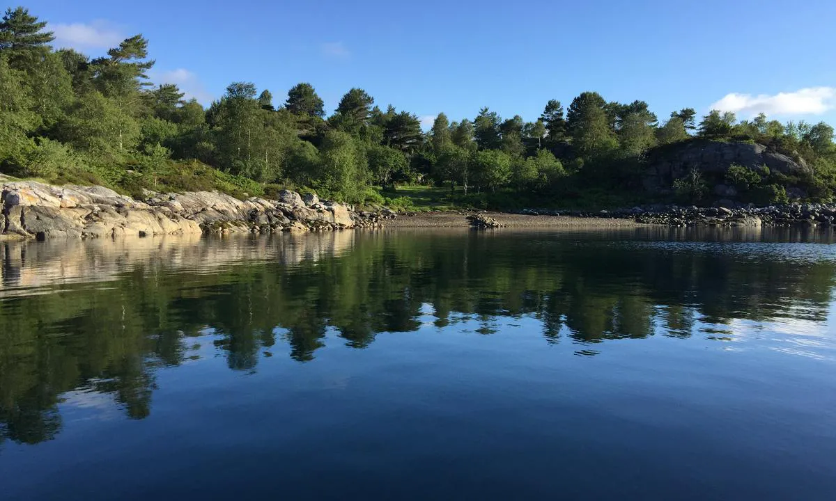
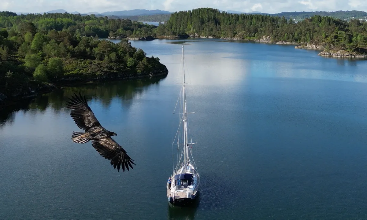
The Area: Many nice and sheltered bays. In several places, there are grassy slopes and gravel beaches with beautiful sandy bottoms.
There is some vegetation in the form of heather and trees, in some places spruce trees.
It is possible to explore Lindåspollene all the way to Lindåsbrygge (where you can walk to a store), Vågseidestranda, and Lindås Sluse via Veråsstrømmen, but only small boats should attempt to go through the current. It becomes like a fast-flowing river when the tide turns, and there is also a shallow area at the outlet on the Lindås side that lies in the natural path of travel. Be aware.
[translated from Norwegian with AI]
2 x helpful | written on 8. Jun 2022
Do you know this harbour? It's a huge help to other sailors if you add a short description or review of the harbour.
Map of Ådnøya

Wind protection
Protection next night
96 points


Want to know how the wind score works? Then you should read this explanation.
The wind forecasts come from yr.no (Norwegian Meteorological Institute), and was last updated 1 hour and 35 minutes ago (Monday 03 August 07:29 AM). The next night score shows you the worst hour between 22:00 and 08:00 the next night. We recommend that you check multiple sources for wind forecasts. windy.com is a good website to show larger wind systems.
The safe directions for this harbour was added at 8. Jun 2022. Click here to edit.
Last visits to Ådnøya
Mon 24 Jul 2023 |
|
|
 TWIN MIZAR [MMSI: 257911690]
The visits are retrieved from AIS data. You can click to see all visiting ships to Ådnøya, as well as statistics about the ships that visits
Add this harbour to a journey
Choose a different date than today
Important: When you check in to a harbour, you add it to a journey on this website. You are not booking a place in the marina.
Contributors
Users that contributed to this page: Odd Tufte. S/Y Vindreken, Martin Henskes and TESO
harbourmaps.com is updated by the boating community. When you add information, a review or pictures to this page you are listed here with the other contributors (we list your user-name, which can be your real name or a pseudonym).
Closest harbours to Ådnøya
Filter by
Order by
0 harbours
Show more harbours
