Baltasound - Buness
Marina

Region: United Kingdom (1310), Scotland (496), Shetland (48) and Buness (1)

Descriptions and reviews
Wawasee II says:
says:
description
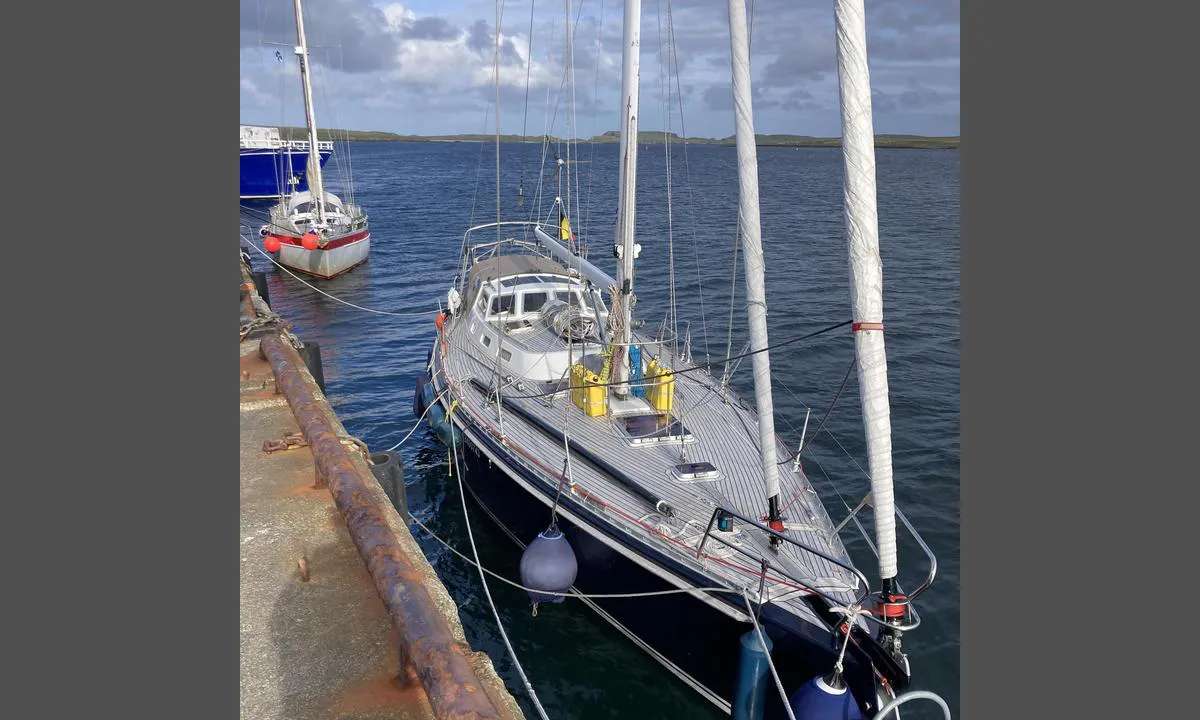
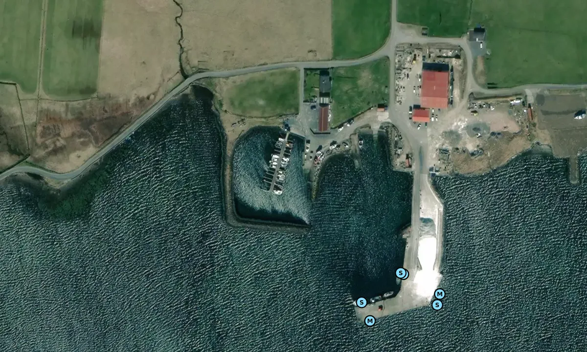
The yellow mooring buoy that is placed just outside the breakwater of the marina. Checked with the person responsible in the boating club. It was put out several years ago. It has not been inspected since, and nobody could say what weight of boat it is rated for.
[translated from Norwegian with AI]

1 x helpful | written on 20. Jul 2024 | updated_on 22. Jul 2024
Adelheid Greven says:
area


maritime qualities


description
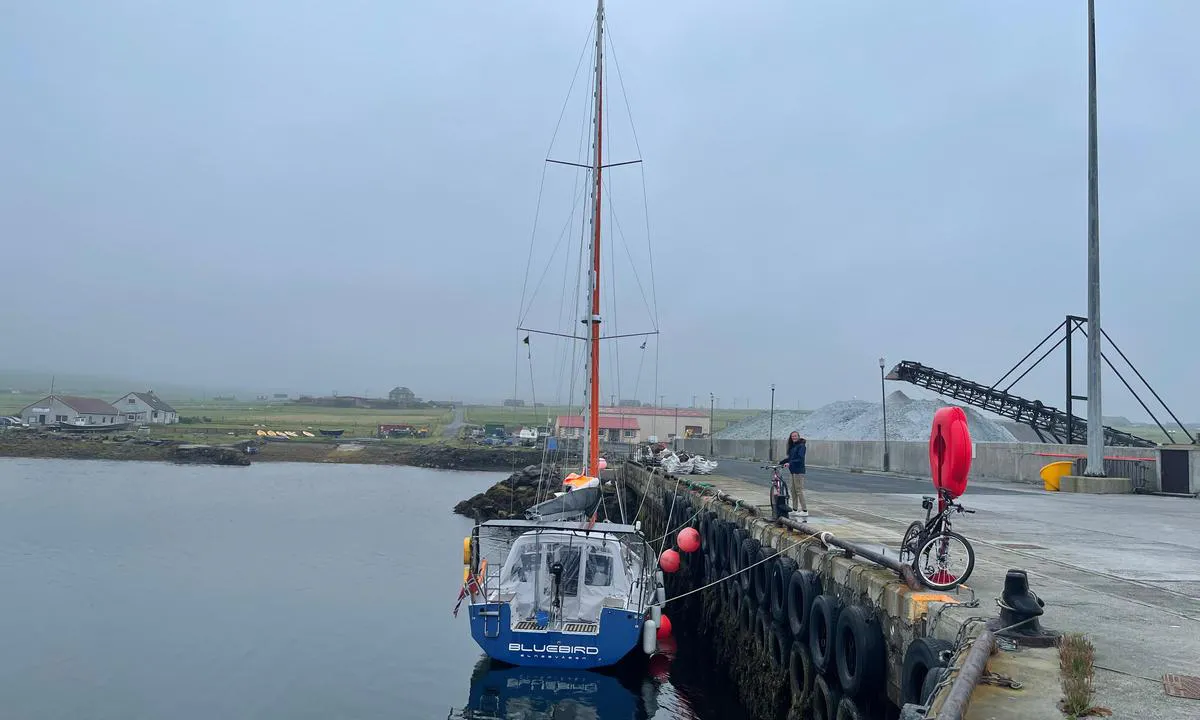
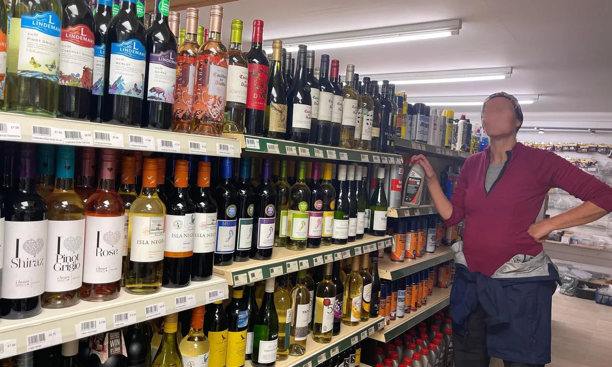
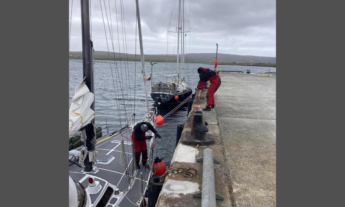
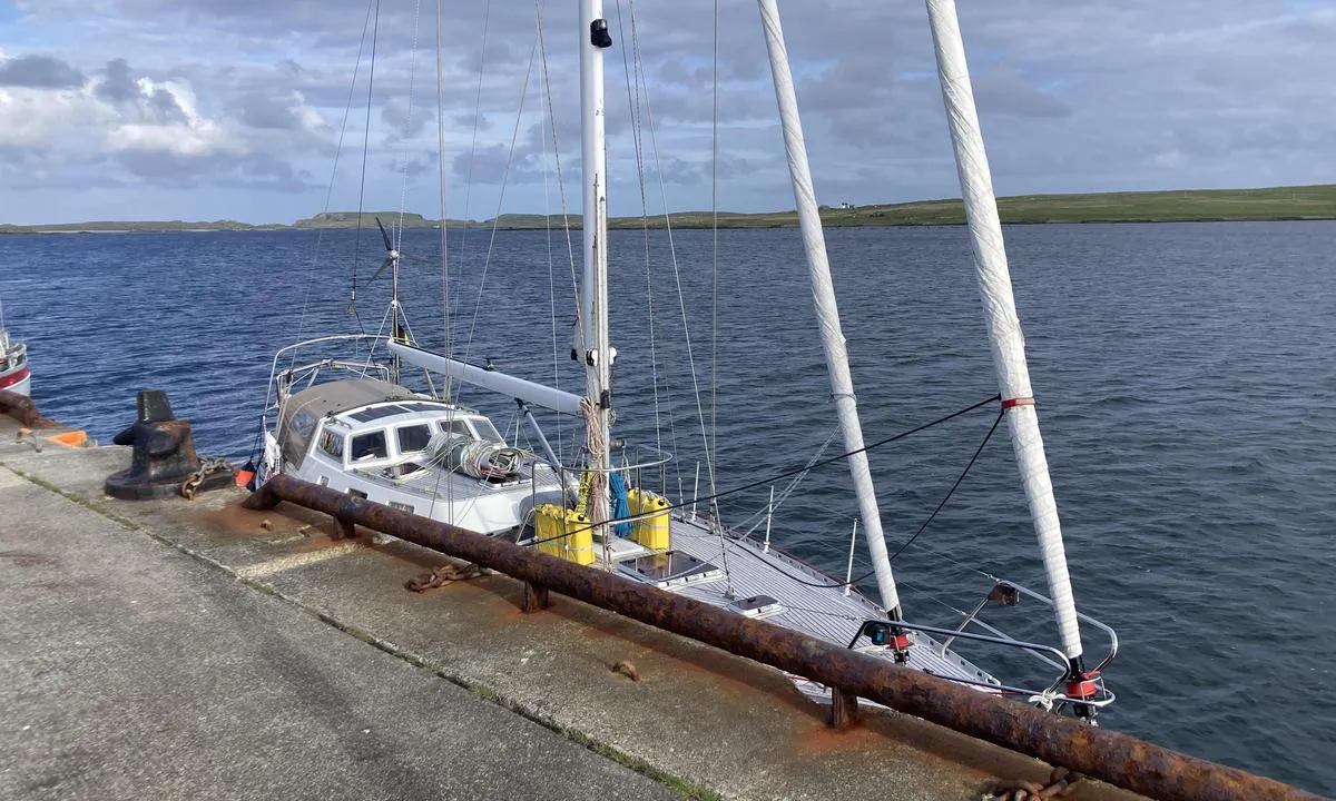
Entry is safe and well marked with green and red buoys. Only with strong SE wind it is said to be rough at Salta Skerry at the entry of Balta Sound. Opposite the pier there is a marine farm (mussel lines). One can anchor in between pier and marine farm, but there are also two mooring buoys. We stayed one night at one of these and moved to the quay the next morning. There is water at the quay. In Symbister where we arrived in Shetland, we paid a fee of 35£ for the use of all quays in Shetland for one month = tarif 2023 (Lerwick not included -> private marina). Three shops on walking distance. Bus to south side of Unst possible, 2£ per person. There ferry goes from Belmont to Yell. Beautiful beaches, many birds, a castle. In Haroldswick there is a nice Heritage center, Boat museum. Cosy tearoom. Hermaness Nature Reserve is amazing. 30 minutes cycling. Norwick beach very nice as well.

1 x helpful | written on 26. May 2023 | updated_on 26. May 2023
Fjellmatrosene says:
says:
area


maritime qualities


description
Batlasound is a very beautiful area, which is very well suited for cycling trips in the pleasant landscape.
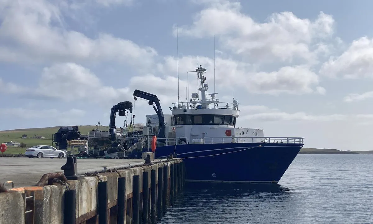
Safe harbor, definitely best to anchor here, as the quay area is characterized by decay and a lot of mess from aquaculture and fishing. Loading gravel onto the cargo ship generates a lot of noise and dust.
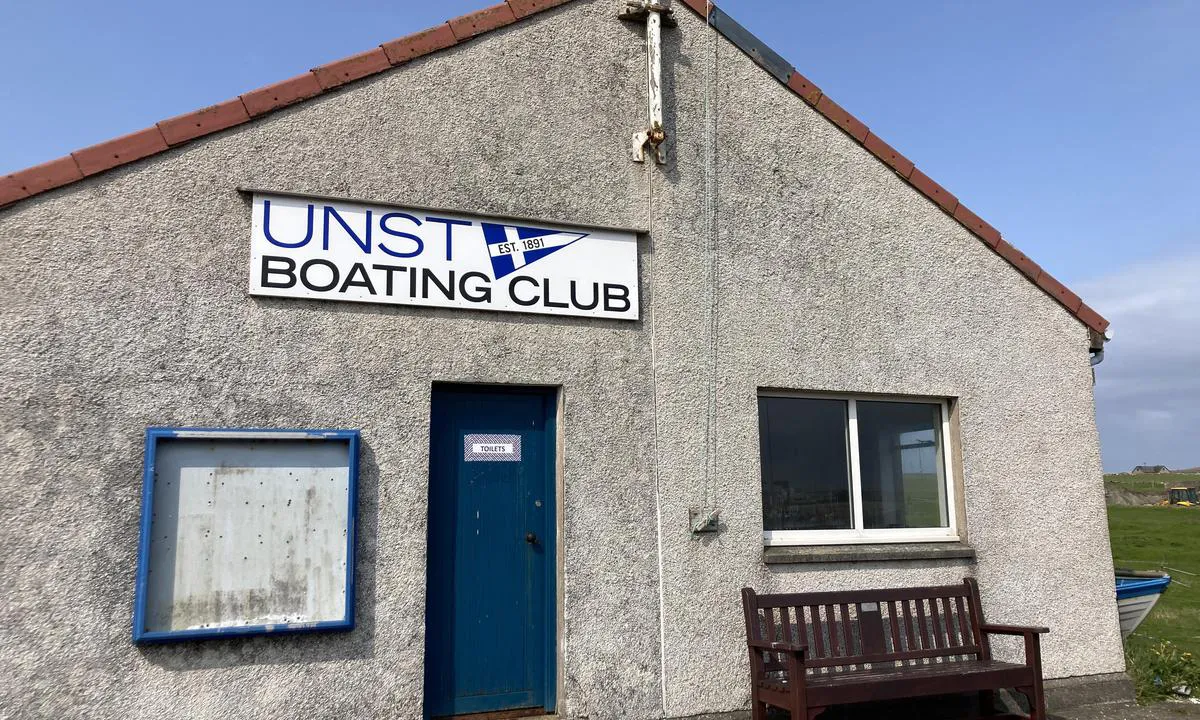
The harbor master is a nice guy. We had to pay 20 pounds for three days. Shower and toilet facilities are available in the sailing club house nearby, but the decay here was also noticeable.
Latest 2024, a shell facility has been established where the chart marks an anchorage near the harbor, so one is forced to anchor in shallow water where there is a lot of large seaweed.
[translated from Norwegian with AI]

1 x helpful | written on 25. Nov 2022 | updated_on 6. Jun 2024
Do you know this harbour? It's a huge help to other sailors if you add a short description or review of the harbour.
Map of Baltasound - Buness

Wind protection
Protection next night
90 points


Want to know how the wind score works? Then you should read this explanation.
The wind forecasts come from yr.no (Norwegian Meteorological Institute), and was last updated 44 minutes ago (Wednesday 11 February 05:27 PM). The next night score shows you the worst hour between 22:00 and 08:00 the next night. We recommend that you check multiple sources for wind forecasts. windy.com is a good website to show larger wind systems.
The safe directions for this harbour was added at 25. Nov 2022. Click here to edit.
Last visits to Baltasound - Buness
Thu 07 Sep 2023 |
|
|
Wed 30 Aug 2023 |
|
|
Fri 25 Aug 2023 |
|
|
Tue 22 Aug 2023 |
|
|
|
|
The visits are retrieved from AIS data. You can click to see all visiting ships to Baltasound - Buness, as well as statistics about the ships that visits
Add this harbour to a journey
Choose a different date than today
Important: When you check in to a harbour, you add it to a journey on this website. You are not booking a place in the marina.
Contributors
Users that contributed to this page: Olav Pekeberg, Fjellmatrosene and Adelheid Greven
harbourmaps.com is updated by the boating community. When you add information, a review or pictures to this page you are listed here with the other contributors (we list your user-name, which can be your real name or a pseudonym).
Closest harbours to Baltasound - Buness
Filter by
Order by
0 harbours
Show more harbours












 INFINITY B [MMSI: 235094801]
 LUMINA [MMSI: 232015645]