Brattvåg Småbåtforening - Gjestehavn
Marina

Region: Norway (3434), Møre og Romsdal (307), Ålesund (51) and Brattvåg (3)

Descriptions and reviews
Mildred Haakaas says:
description
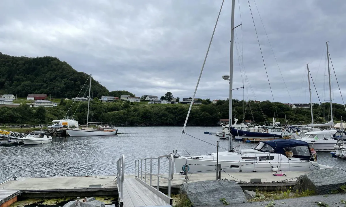
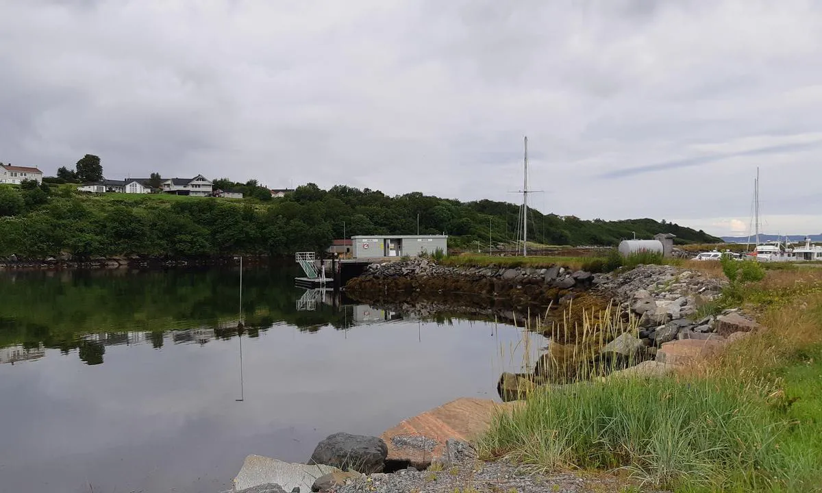
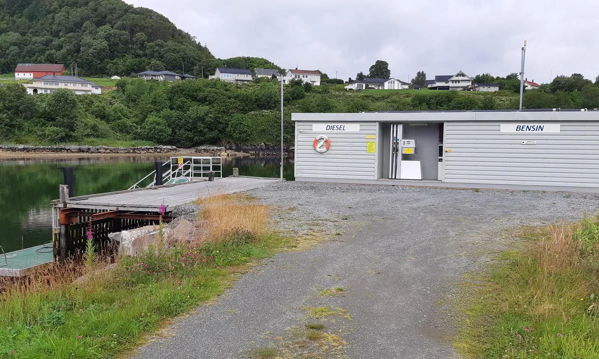
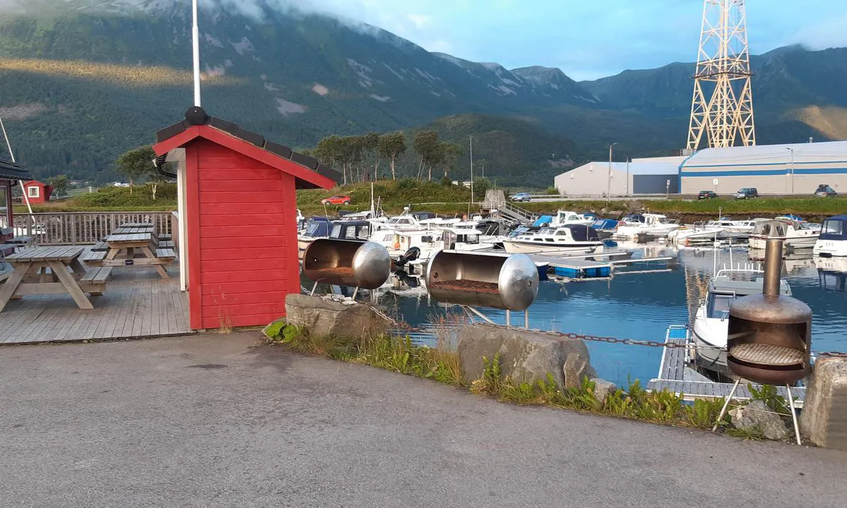
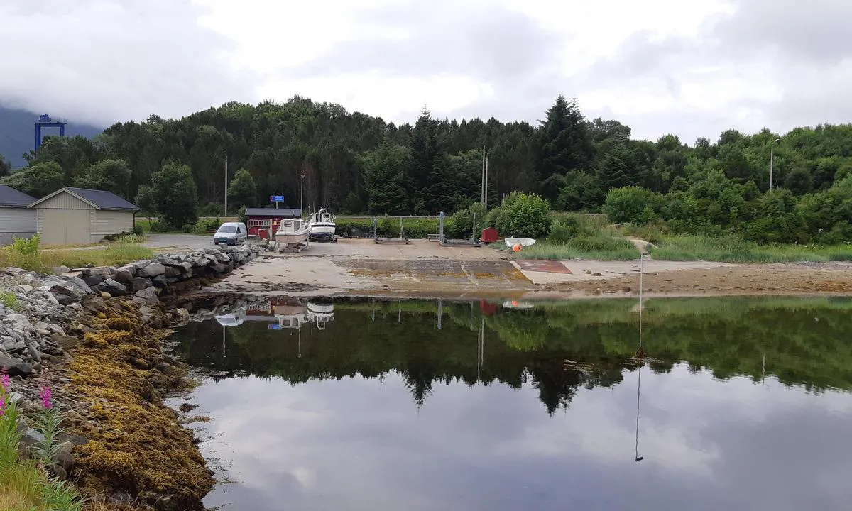
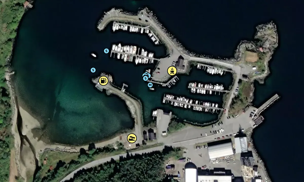
The small boat harbor in Brattvåg is easy to navigate into. We went in to fill up diesel, called the provided number, and were informed that there was diesel on the breakwater and no problem with a 2-meter keel. Once inside the small boat harbor, we saw a floating dock with a diesel tank. But it was not functional. A friendly guy drove over and said we had to go further inside the innermost breakwater, but we couldn't due to the keel except at high tide! We checked the area from land and thought we could creep along the shore and get safely to the southern pump dock. Did that, it went fine, we filled up with diesel and backed out carefully. Worth knowing. The shallow water was easy to see and it was a windless day. Not recommended in strong winds and low tide!
[translated from Norwegian with AI]

3 x helpful | written on 26. Jul 2023
Alexander Edvardsen says:
description
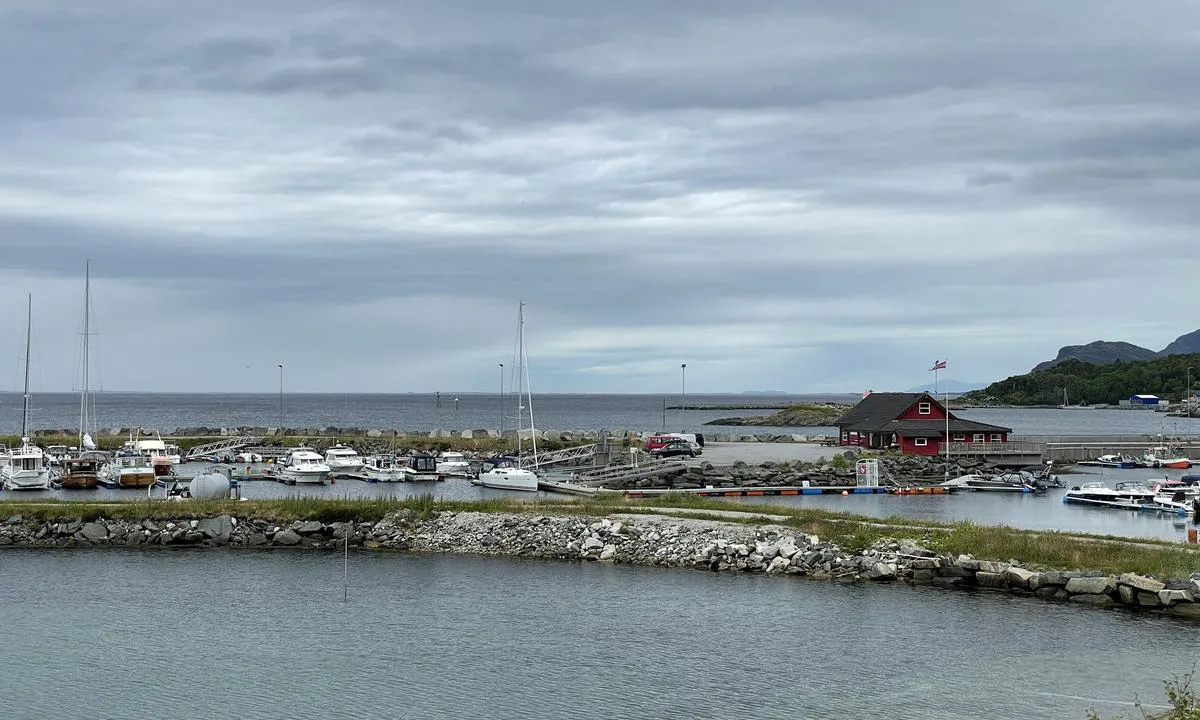
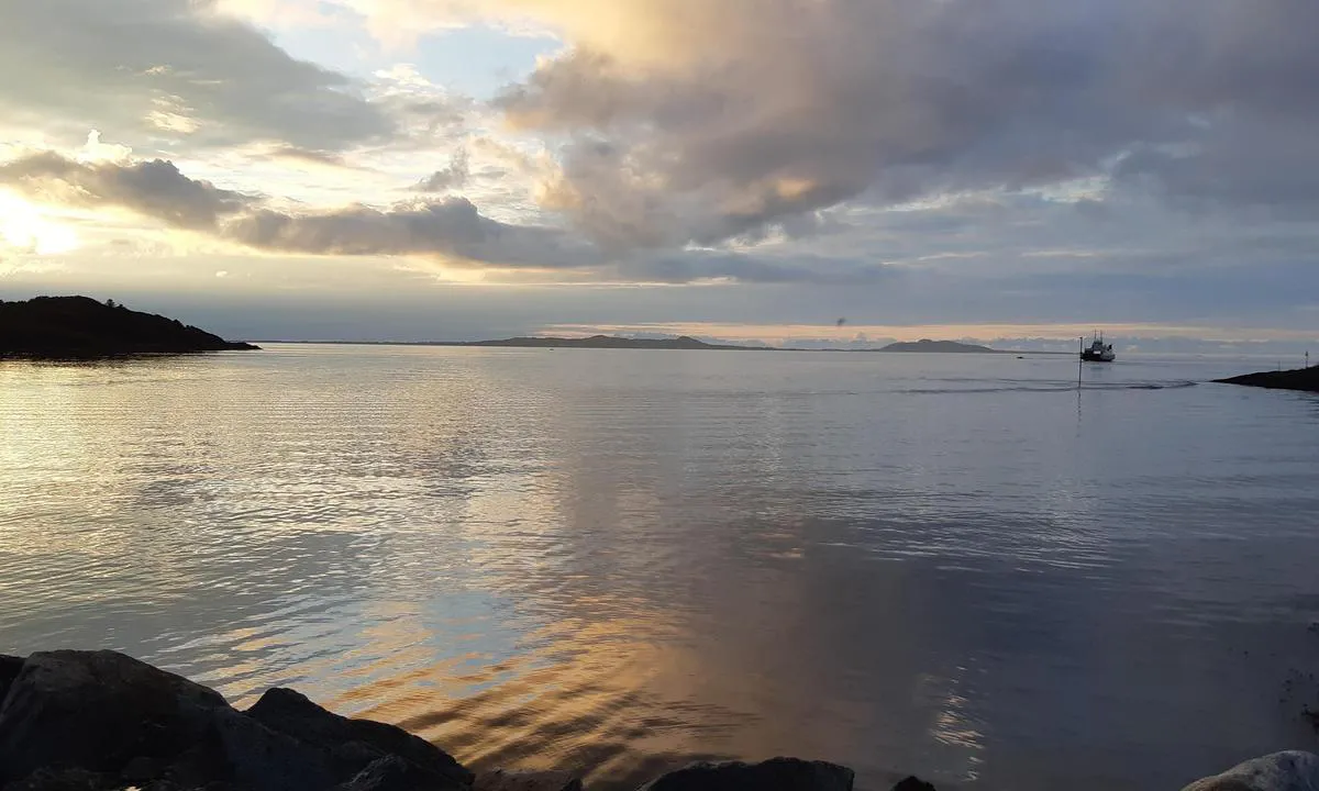
Approach and maritime conditions: Brattvågen is located north of Ålesund and west of Molde and can be a good alternative if you are sailing along the coast and planning to enter the fjord towards Molde or Åndalsnes. The ferry quay in Brattvågen is situated close to the guest harbour, and there is a shipyard a bit further into the bay, so there might be some traffic at the entrance to the harbour. The guest harbour is well sheltered, and once docked here, other ship traffic is hardly noticeable.
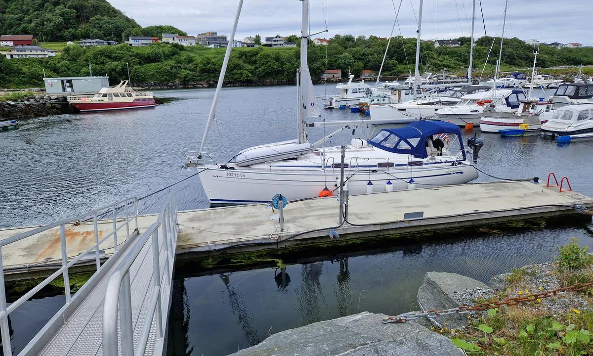
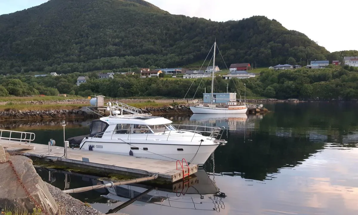
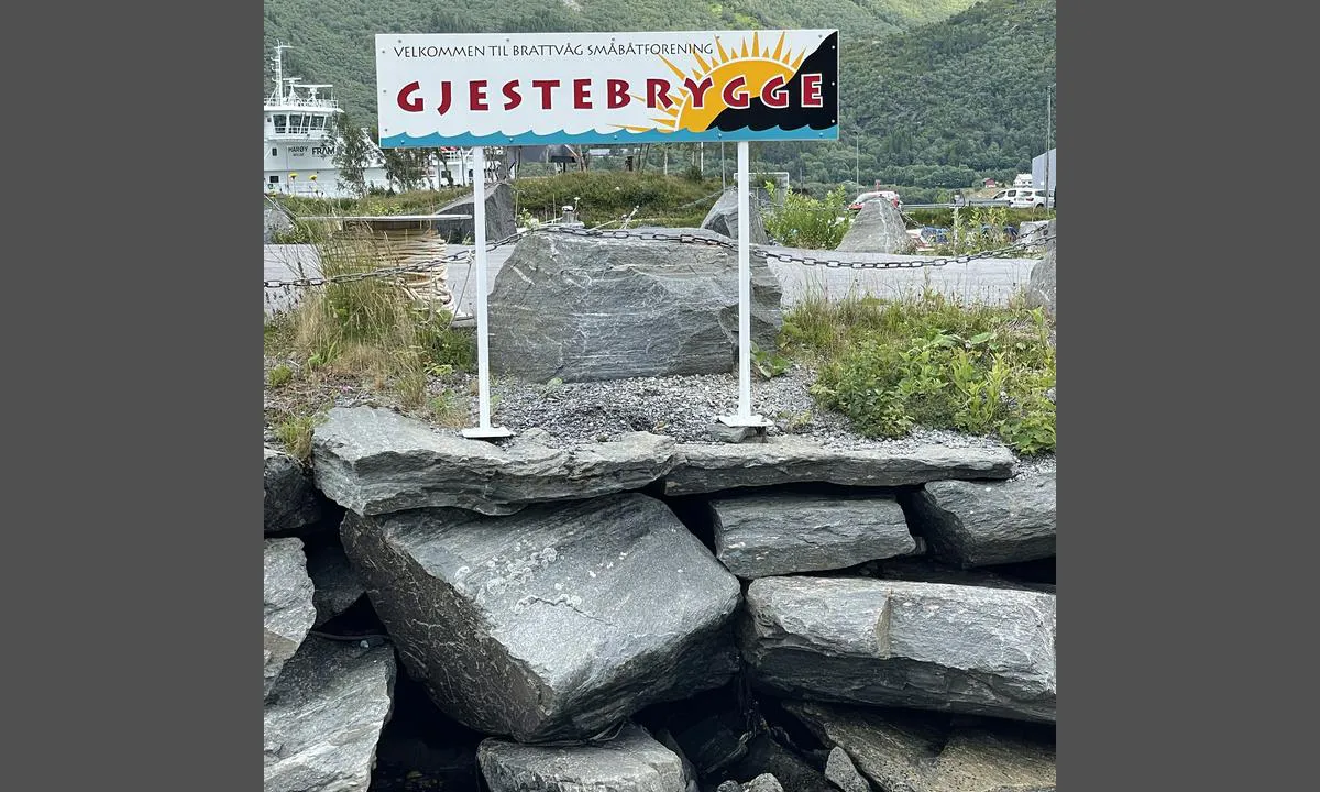
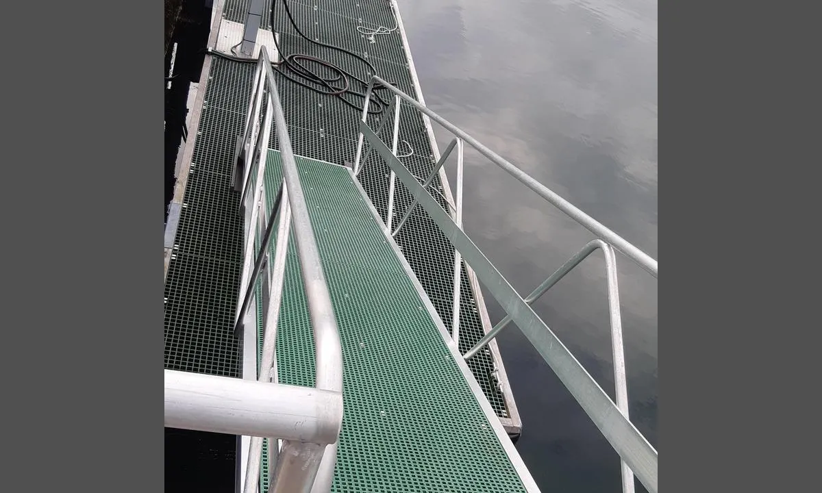
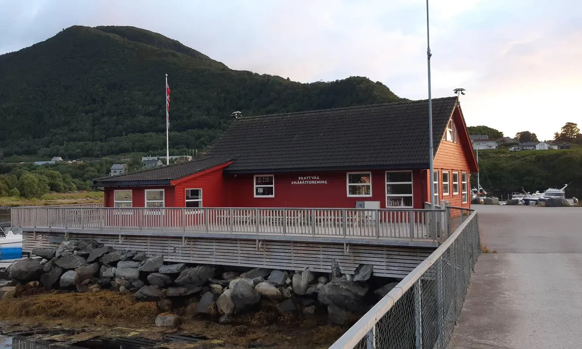
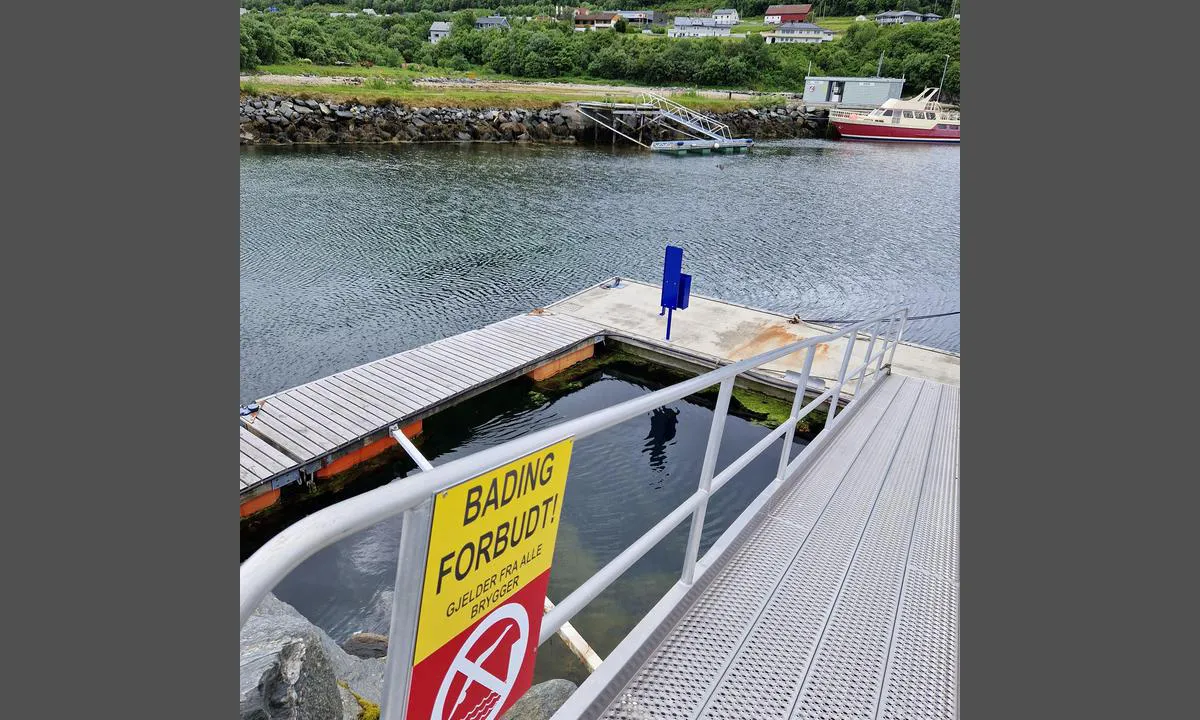
Docking: Mooring to a floating dock with a short distance to the service building. The guest dock is marked.
The area: It is about 1 km to Brattvåg town centre from the guest dock. Brattvåg town centre has a small selection of shops, cafes, a bakery, a hairdresser, etc. There are also some hiking trails in the area.
[translated from Norwegian with AI]

2 x helpful | written on 17. Jul 2021
Do you know this harbour? It's a huge help to other sailors if you add a short description or review of the harbour.
Map of Brattvåg Småbåtforening - Gjestehavn

Wind protection
Protection next night
91 points


Want to know how the wind score works? Then you should read this explanation.
The wind forecasts come from yr.no (Norwegian Meteorological Institute), and was last updated 1 hour and 47 minutes ago (Thursday 12 February 12:27 PM). The next night score shows you the worst hour between 22:00 and 08:00 the next night. We recommend that you check multiple sources for wind forecasts. windy.com is a good website to show larger wind systems.
The safe directions for this harbour was added at 13. Jul 2021. Click here to edit.
Last visits to Brattvåg Småbåtforening - Gjestehavn
Sat 03 Aug 2024 |
|
|
Fri 22 Sep 2023 |
|
|
Tue 19 Sep 2023 |
|
|
Sat 16 Sep 2023 |
|
|
Mon 11 Sep 2023 |
|
|
The visits are retrieved from AIS data. You can click to see all visiting ships to Brattvåg Småbåtforening - Gjestehavn, as well as statistics about the ships that visits
Add this harbour to a journey
Choose a different date than today
Important: When you check in to a harbour, you add it to a journey on this website. You are not booking a place in the marina.
Contributors
Users that contributed to this page: Jan Erik Kristiansen, Håkon Aspehaug, Escaro and Alexander Edvardsen
harbourmaps.com is updated by the boating community. When you add information, a review or pictures to this page you are listed here with the other contributors (we list your user-name, which can be your real name or a pseudonym).
Closest harbours to Brattvåg Småbåtforening - Gjestehavn
Filter by
Order by
0 harbours
Show more harbours













 SARA_MARIE [MMSI: 257012840]
 USE AKSCHEN [MMSI: 211117090]