


Descriptions and reviews
Paddy Meagher says:
says:
area


maritime qualities
description
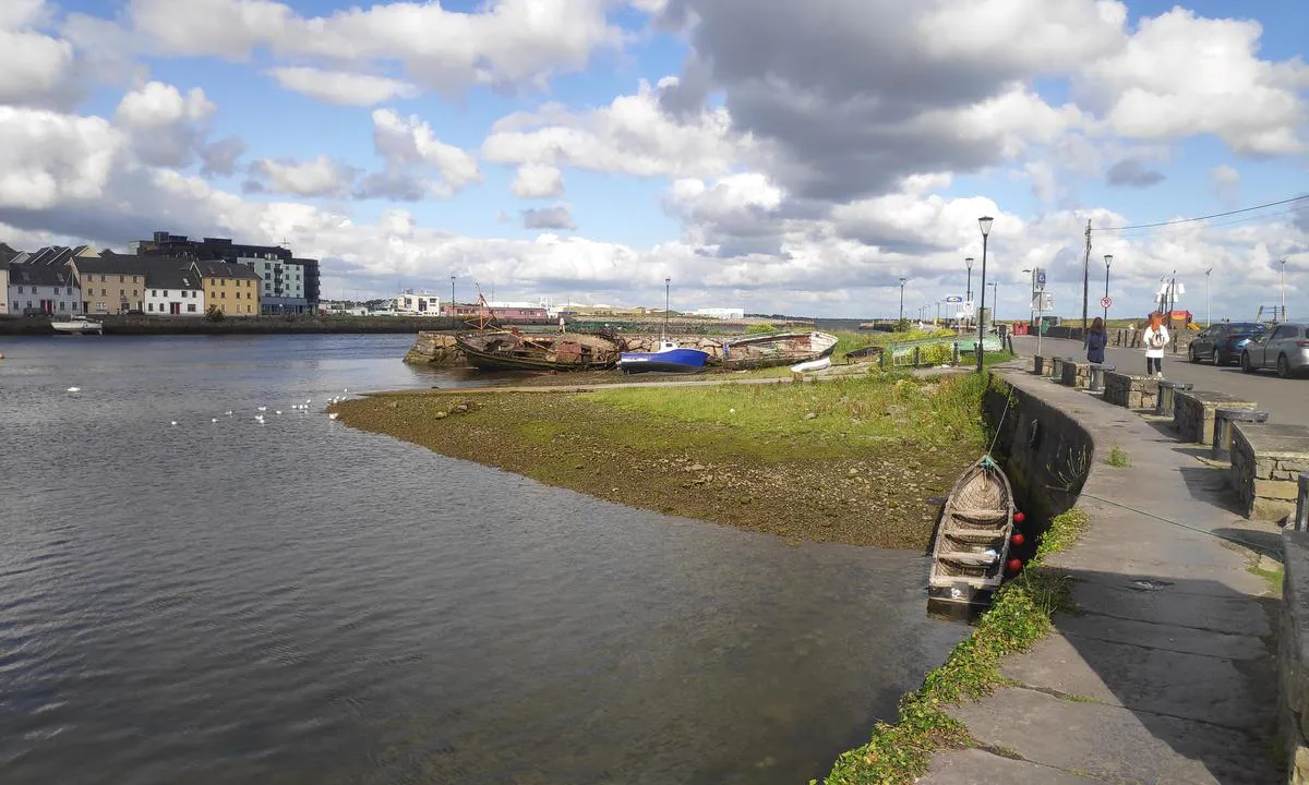
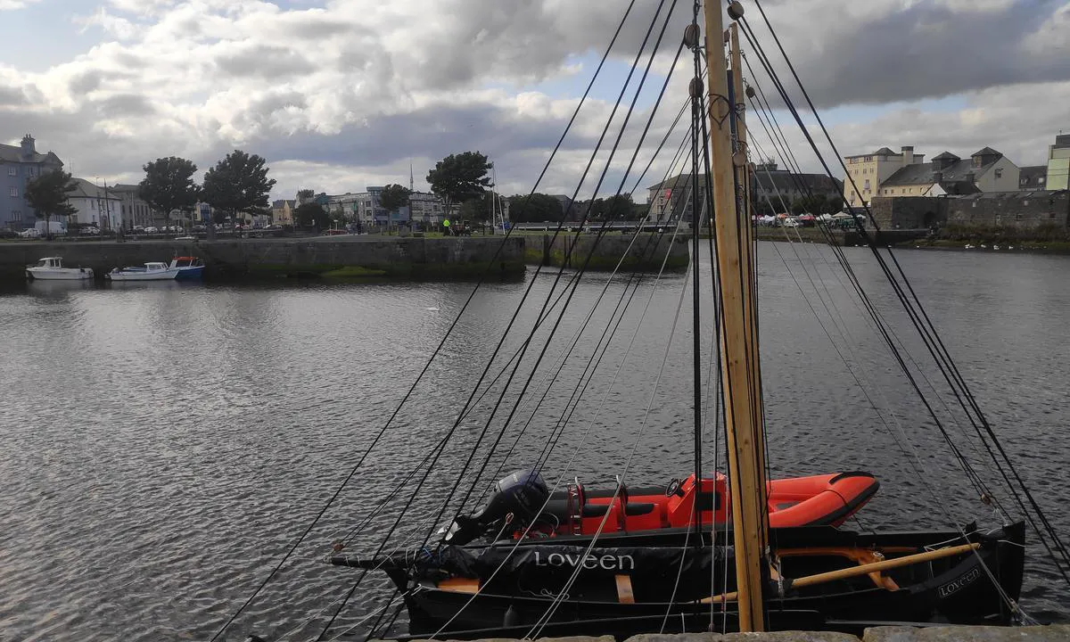
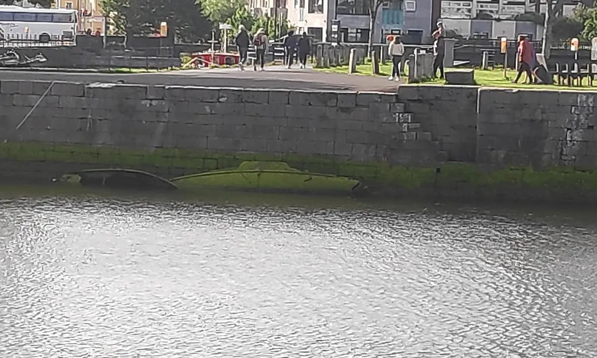
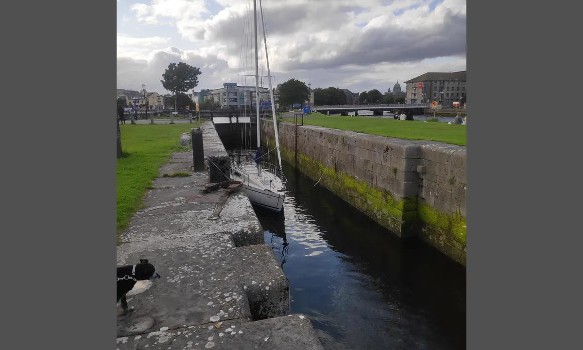
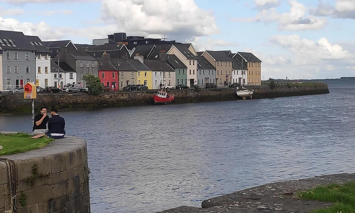
Used mainly for local fishing boats.

0 x helpful | written on 22. Jun 2025
Do you know this harbour? It's a huge help to other sailors if you add a short description or review of the harbour.
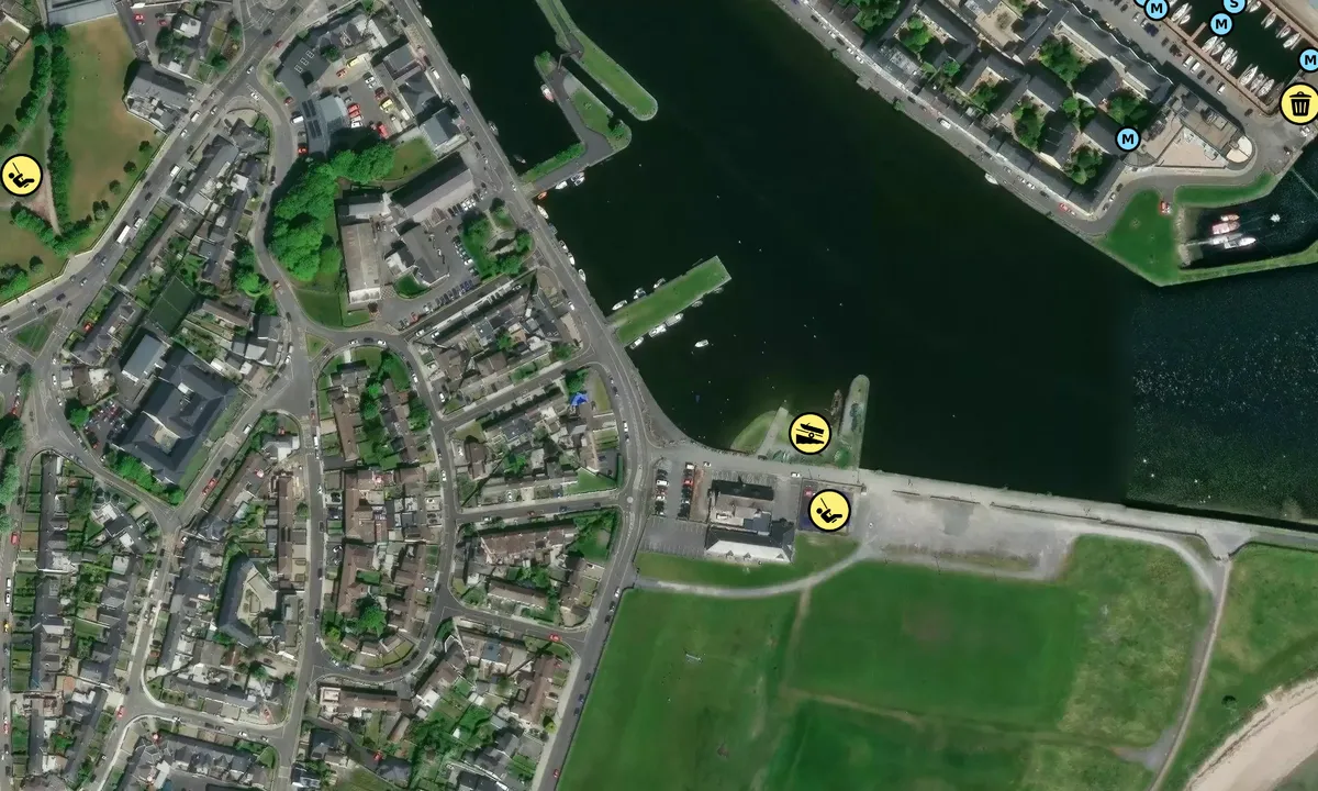
Map of Claddagh

Wind protection
Protection next night
80 points


Want to know how the wind score works? Then you should read this explanation.
The wind forecasts come from yr.no (Norwegian Meteorological Institute), and was last updated 2 hours and 14 minutes ago (Thursday 23 July 11:16 PM). The next night score shows you the worst hour between 22:00 and 08:00 the next night. We recommend that you check multiple sources for wind forecasts. windy.com is a good website to show larger wind systems.
The safe directions for this harbour was added at 23. Jun 2025. Click here to edit.
Last visits to Claddagh
Wed 18 Oct 2023 |
|
|
 INIS BEARACHAIN [MMSI: 250004045]
The visits are retrieved from AIS data. You can click to see all visiting ships to Claddagh, as well as statistics about the ships that visits
Add this harbour to a journey
Choose a different date than today
Important: When you check in to a harbour, you add it to a journey on this website. You are not booking a place in the marina.
Contributors
Users that contributed to this page: Paddy Meagher
harbourmaps.com is updated by the boating community. When you add information, a review or pictures to this page you are listed here with the other contributors (we list your user-name, which can be your real name or a pseudonym).
Closest harbours to Claddagh
Filter by
Order by
0 harbours
Show more harbours
