


Evjesund
Natural harbour

Region: Norway (3481), Viken (190), Ytre Oslofjord (190), Østfoldkysten (124), Østfold (39), Moss (19), Larkollen (6) and Dilling (4)


Descriptions and reviews
HarbourMaps (site admin) says:
description
The buoy from OF has been temporarily removed for maintenance.
[translated from Norwegian with AI]

1 x helpful | written on 27. Jun 2023 | updated_on 28. Jun 2023
Svai says:
says:
description
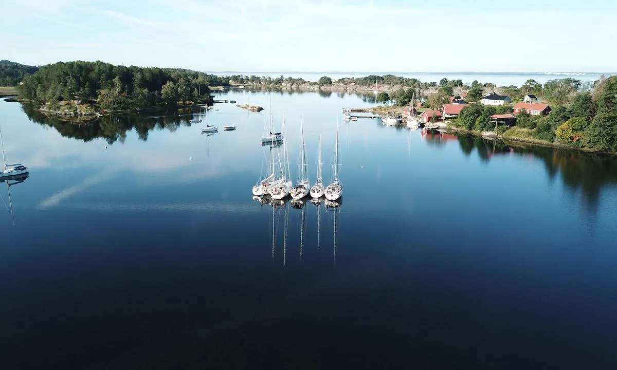
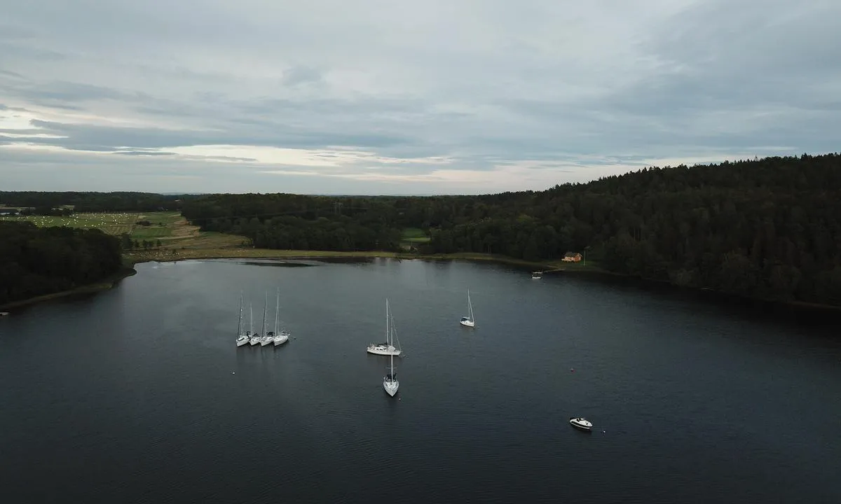
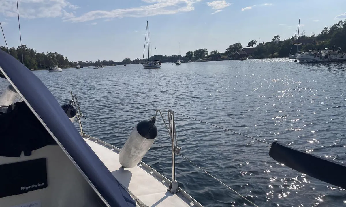
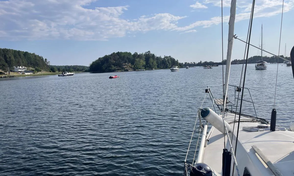
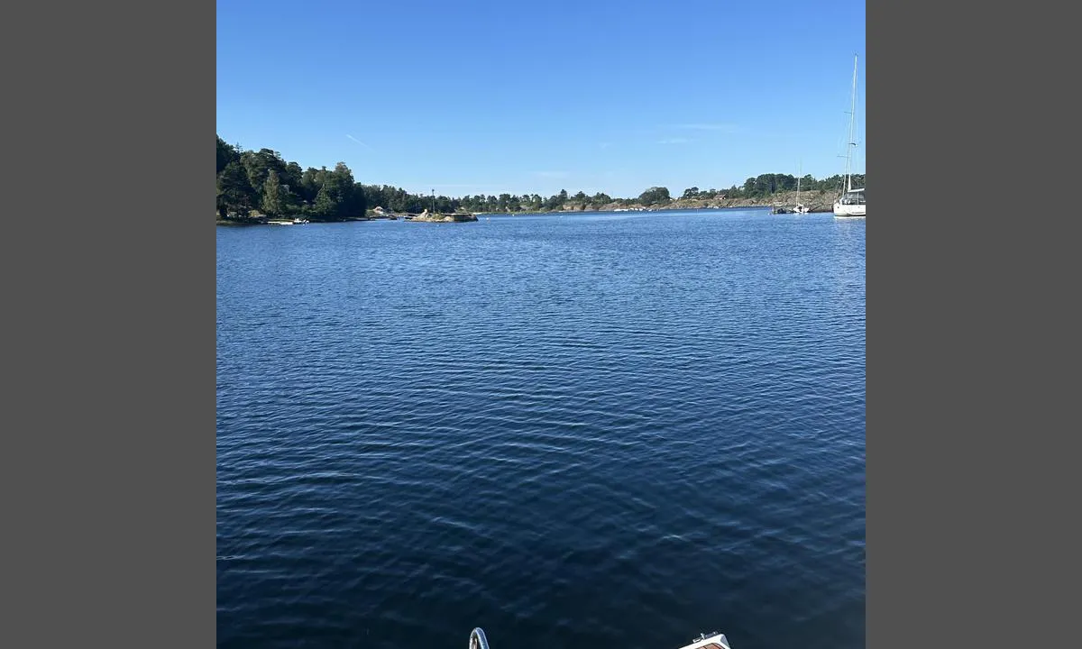
Approach and maritime conditions: Evjesund is located approximately 6 km south of Moss center in Rygge municipality. Pass around the iron marker north of Stangarholmen with good clearance. Steer through the middle of the channel until you have the headland on the port side. Keep to the middle of the sound between the quay on the port side and the reef on the starboard side.
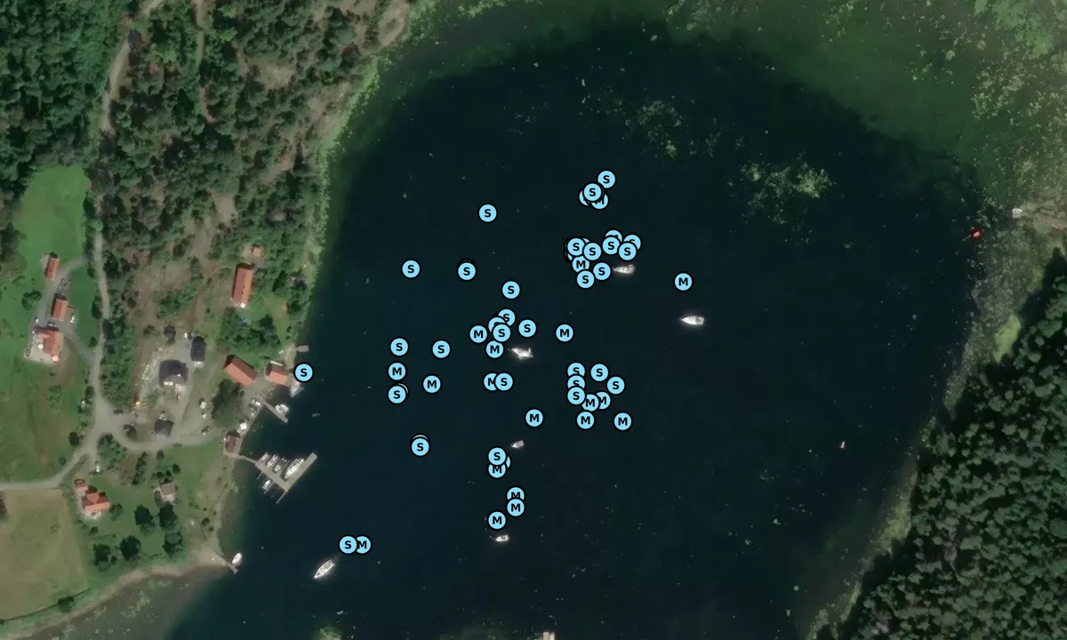
Anchoring: 2.5 meters. Lots of grass on the bottom which can pose anchoring challenges, but it is well-sheltered, so it usually works out fine. Let out plenty of rope/chain. A blue buoy for OF members and several buoys owned by the slipway on land. Have used these many times without anyone protesting.
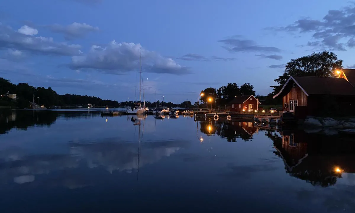
The area: Evjesundet is a beautiful and sheltered harbor. Inside the bay, there are wetland areas and some cottage developments. No public docks. Several association buoys are located at the site.
At the innermost part of the bay towards the NW, there is a floating dock that can be used by visiting boats for landing with a dinghy. The rest of the shoreline is privatized or impassable.
Marked hiking trail in beautiful landscape, feel free to take a hike up to the tower on Vardåsen, from there you have a view over the entire outer Oslofjord, as well as a wide view over the cultural landscape in Rygge.
[translated from Norwegian with AI]
1 x helpful | written on 25. Jun 2021
Do you know this harbour? It's a huge help to other sailors if you add a short description or review of the harbour.
Map of Evjesund

Wind protection
Protection next night
88 points


Want to know how the wind score works? Then you should read this explanation.
The wind forecasts come from yr.no (Norwegian Meteorological Institute), and was last updated 1 hour and 27 minutes ago (Sunday 05 July 03:28 AM). The next night score shows you the worst hour between 22:00 and 08:00 the next night. We recommend that you check multiple sources for wind forecasts. windy.com is a good website to show larger wind systems.
The safe directions for this harbour was added at 9. Jun 2021. Click here to edit.
Last visits to Evjesund
Fri 03 Jul 2026 |
|
|
Wed 24 Jun 2026 |
|
|
Tue 23 Jun 2026 |
|
|
Sat 20 Jun 2026 |
|
|
Fri 19 Jun 2026 |
|
|
 ANNA [MMSI: 257821880]
The visits are retrieved from AIS data. You can click to see all visiting ships to Evjesund, as well as statistics about the ships that visits
Add this harbour to a journey
Choose a different date than today
Important: When you check in to a harbour, you add it to a journey on this website. You are not booking a place in the marina.
Contributors
Users that contributed to this page: Anders Hverven, Olav Pekeberg, Jorge Veiga, Jørn Solum, Svai, Jon Andreassen and Suzanne Rodskier
harbourmaps.com is updated by the boating community. When you add information, a review or pictures to this page you are listed here with the other contributors (we list your user-name, which can be your real name or a pseudonym).
Closest harbours to Evjesund
Filter by
Order by
0 harbours
Show more harbours
