Contributions by Svai
Svai has uploaded 56 images and written 16 reviews. Click on the images and reviews below to see the harbour pages.
Svai has 756 contribution points and is a top contributor to this site. See all the top contributing users.
Harbour images
See an image you like? Please click the 👍 below the image to let Svai know you liked it. The images are sorted by popularity.
Nord-Koster Vättnet
marina
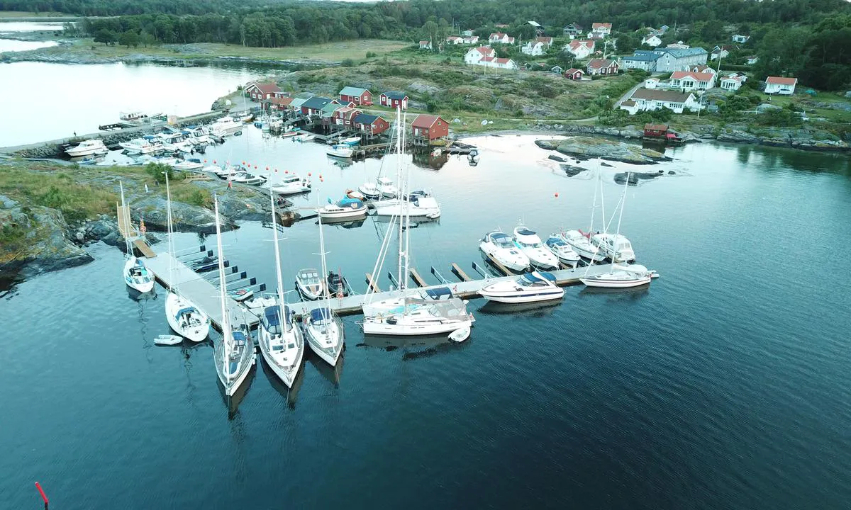

3 liker bildet
Image uploaded on 25. Jun 2021
Evjesund
natural_harbour
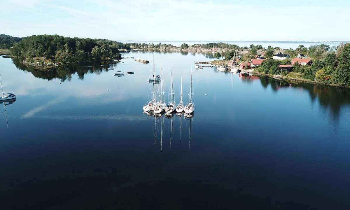

2 liker bildet
Image uploaded on 25. Jun 2021
Kosterhamnen - Kilesand
natural_harbour
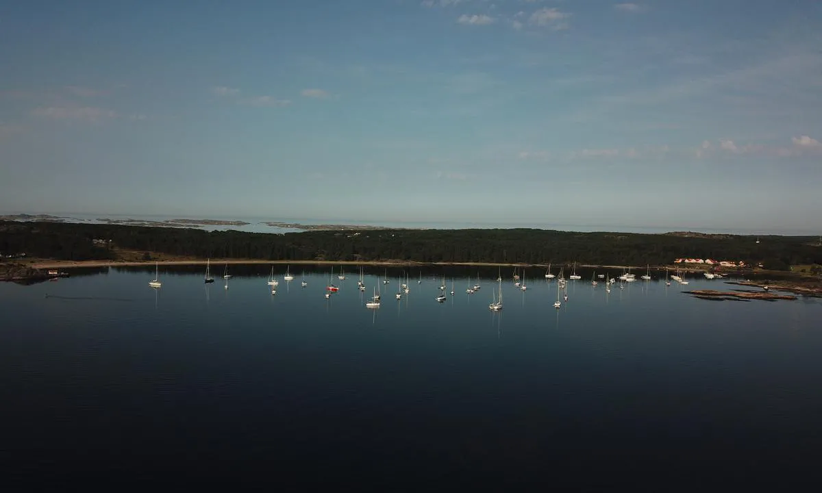

2 liker bildet
Image uploaded on 25. Jun 2021
Långö Hampholmarna
natural_harbour
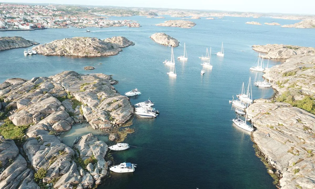

2 liker bildet
Image uploaded on 22. Jul 2021
Ulön - Dannemark
natural_harbour
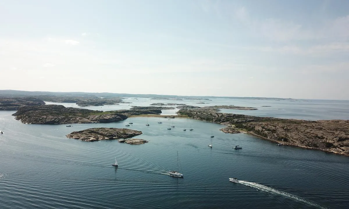

2 liker bildet
Image uploaded on 25. Jul 2021
Ulön - Dannemark
natural_harbour
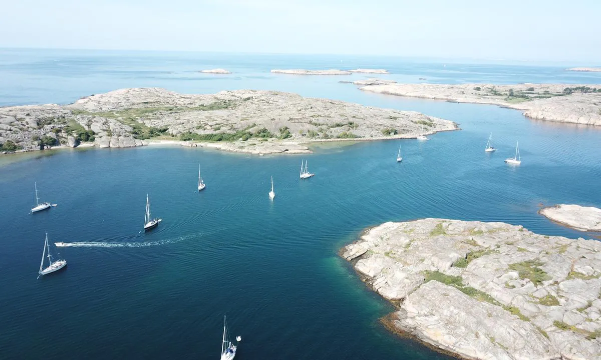

2 liker bildet
Image uploaded on 25. Jul 2021
Eldøya
natural_harbour
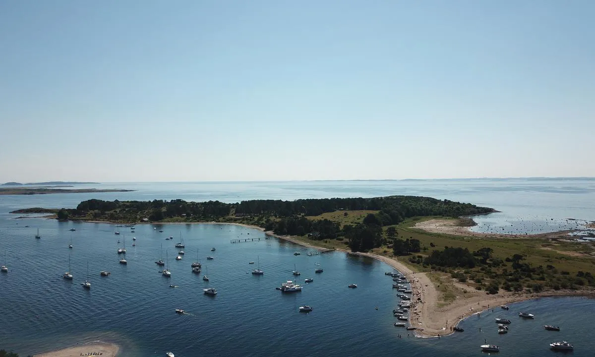

1 liker bildet
Image uploaded on 3. Jul 2021
Eldøya
natural_harbour
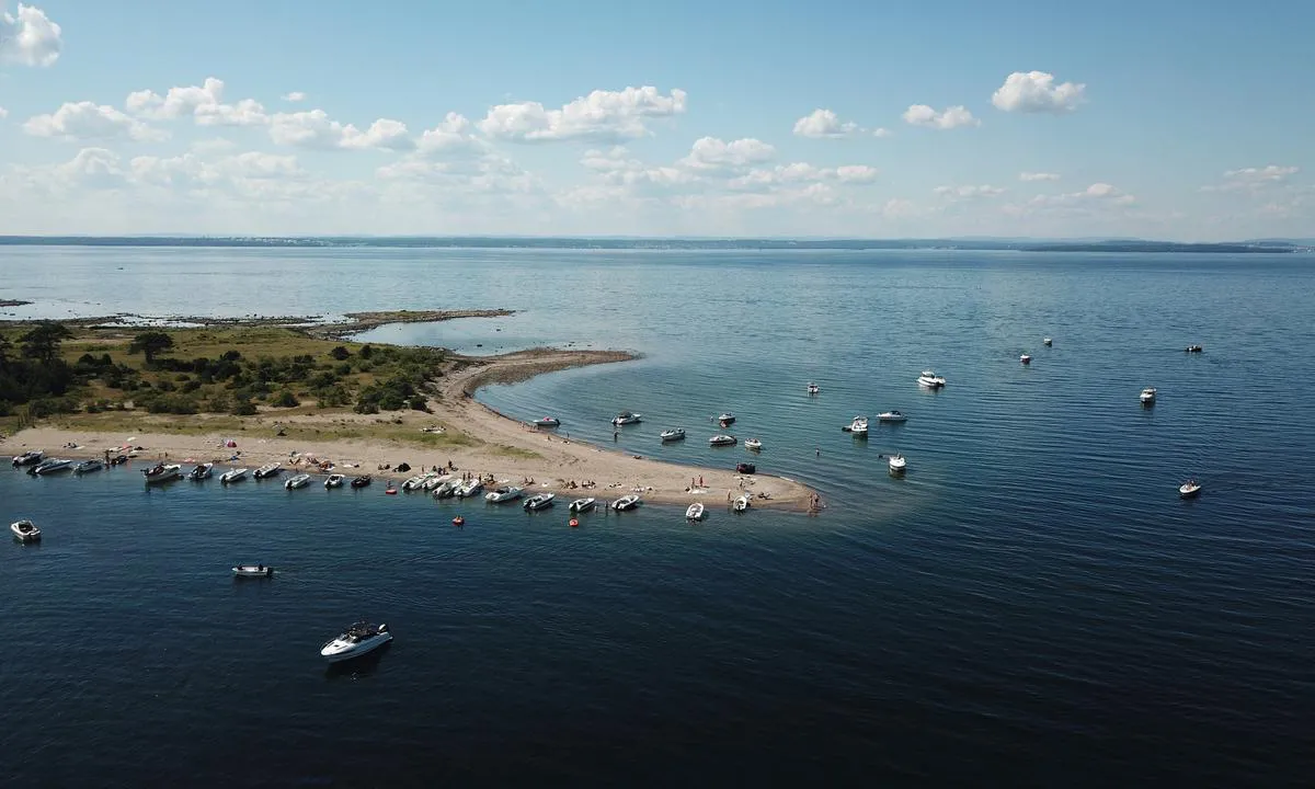

1 liker bildet
Image uploaded on 3. Jul 2021
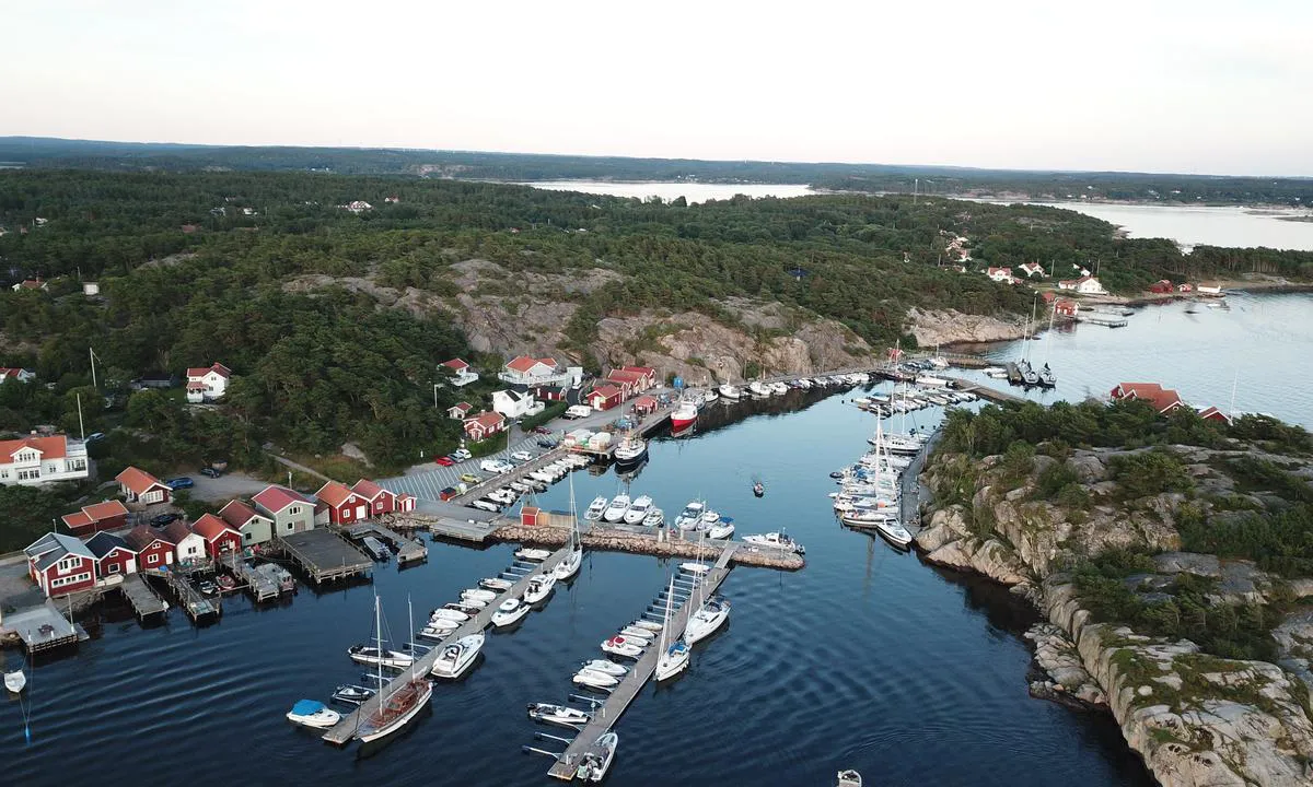
Resö Gästhamn
marina

1 liker bildet
Image uploaded on 12. Jul 2021
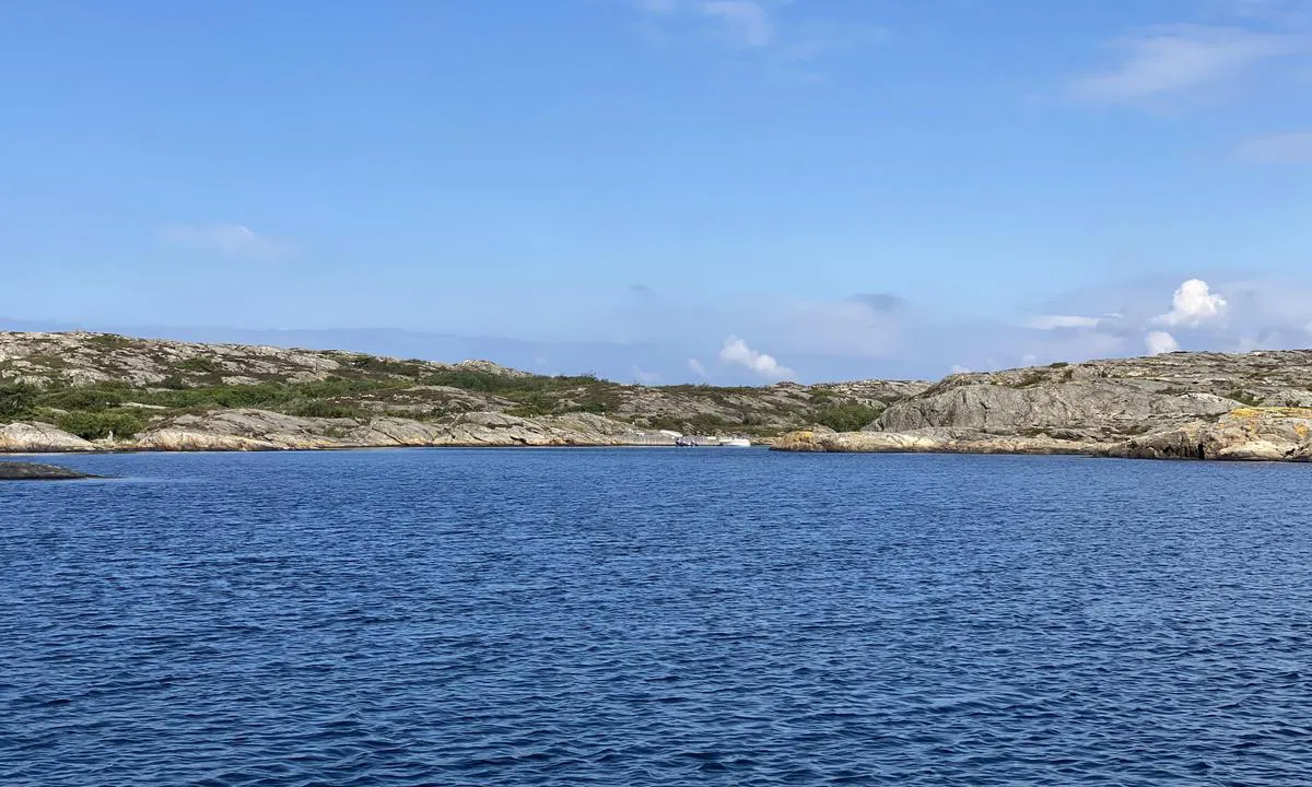
Härön - Hisingsviken
natural_harbour

1 liker bildet
Image uploaded on 24. Jul 2024
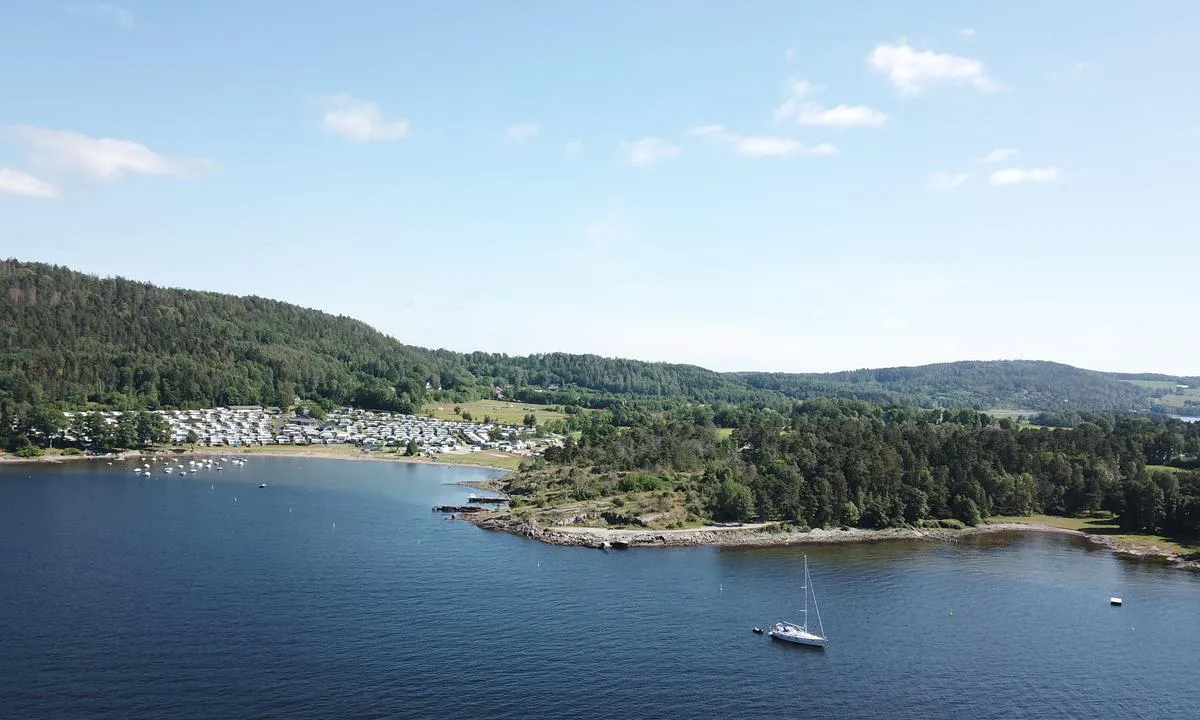
Signalodden
natural_harbour

1 liker bildet
Image uploaded on 25. Jun 2021
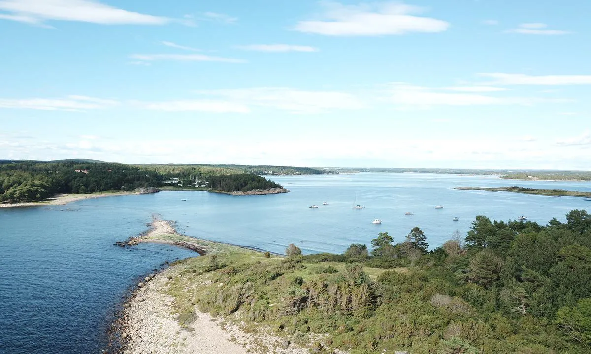
Taralden og Danmark
natural_harbour

1 liker bildet
Image uploaded on 25. Jun 2021
Slubbersholmen
natural_harbour
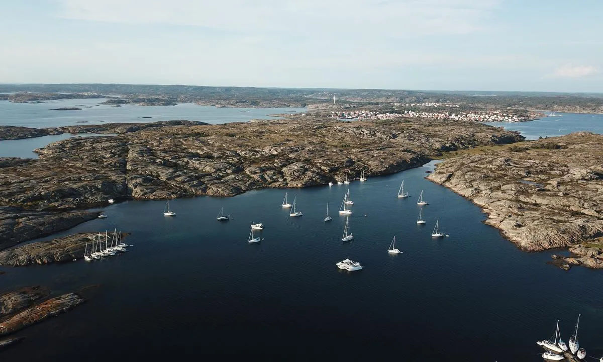

1 liker bildet
Image uploaded on 25. Jun 2021
Långö Hampholmarna
natural_harbour
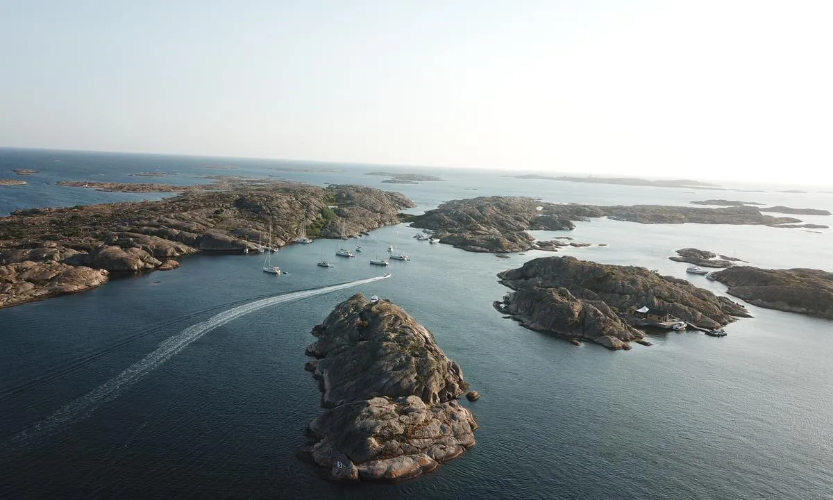

1 liker bildet
Image uploaded on 22. Jul 2021
Strömsund - Väderöarna
natural_harbour
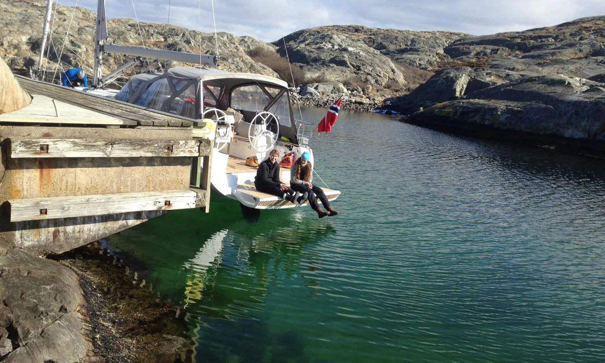

1 liker bildet
Image uploaded on 15. Jul 2021
Resö Gästhamn
marina
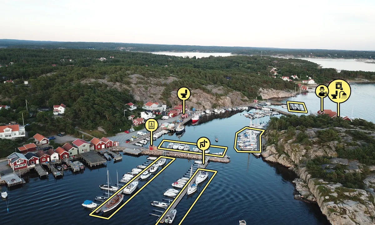

1 liker bildet
Image uploaded on 16. Jun 2025
Valön Långö
natural_harbour
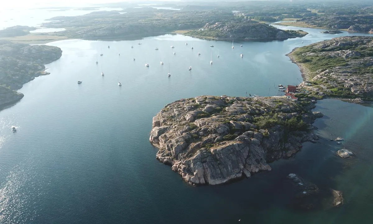

1 liker bildet
Image uploaded on 16. Jul 2021
Kalvön - indre basseng
natural_harbour
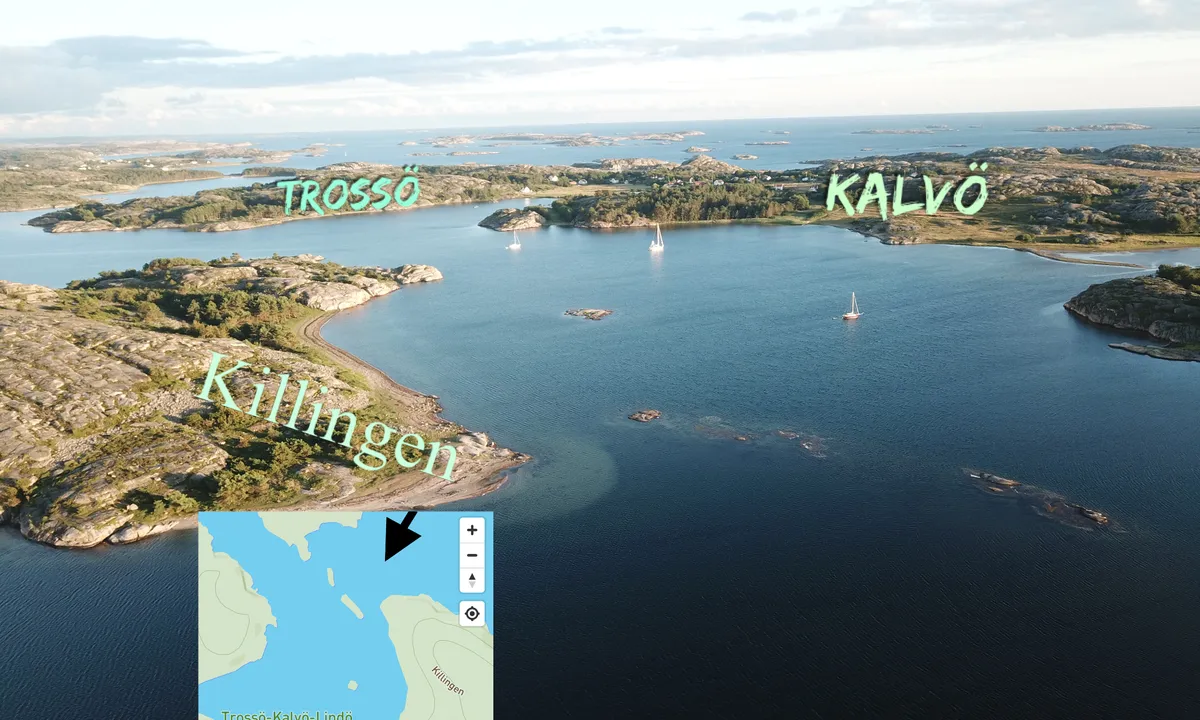

1 liker bildet
Image uploaded on 10. Jul 2021
Hummerbågen
natural_harbour
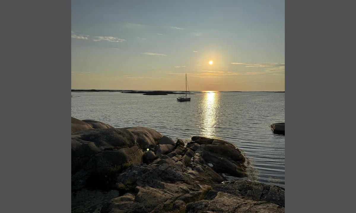

1 liker bildet
Image uploaded on 25. Jul 2025
Hummerbågen
natural_harbour
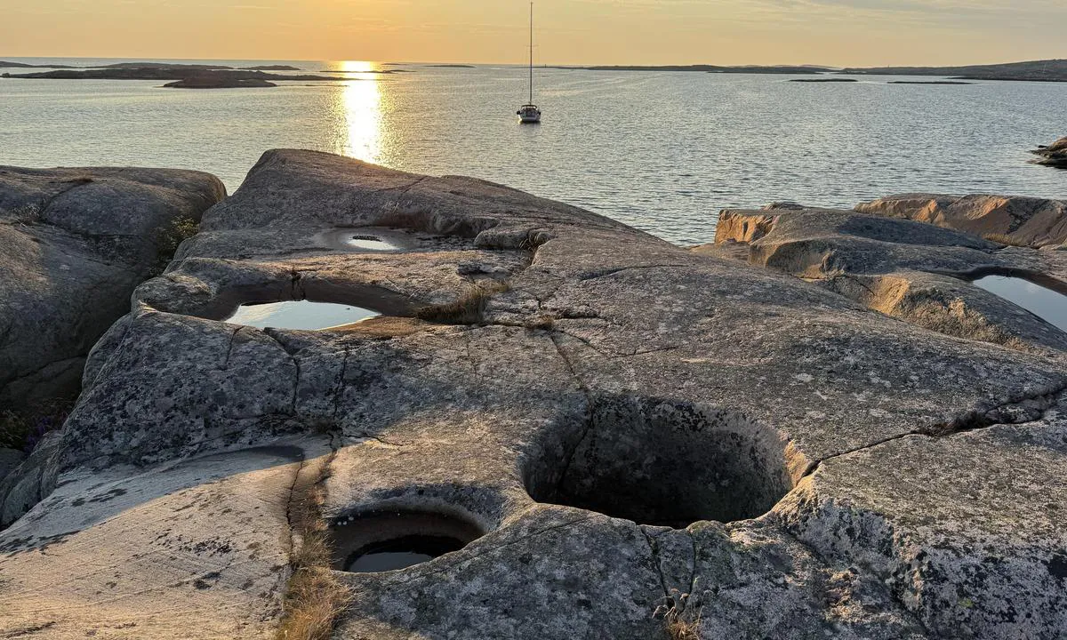

1 liker bildet
Image uploaded on 25. Jul 2025
Hummerbågen
natural_harbour
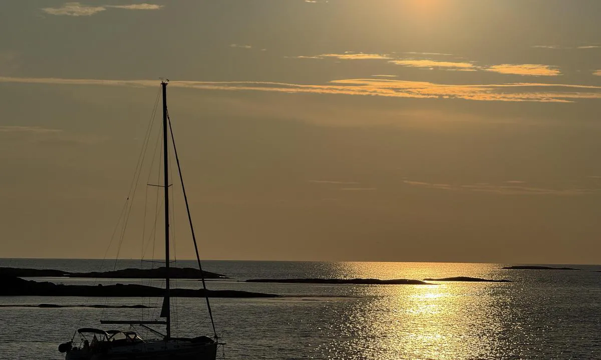

1 liker bildet
Image uploaded on 25. Jul 2025
Hummerbågen
natural_harbour
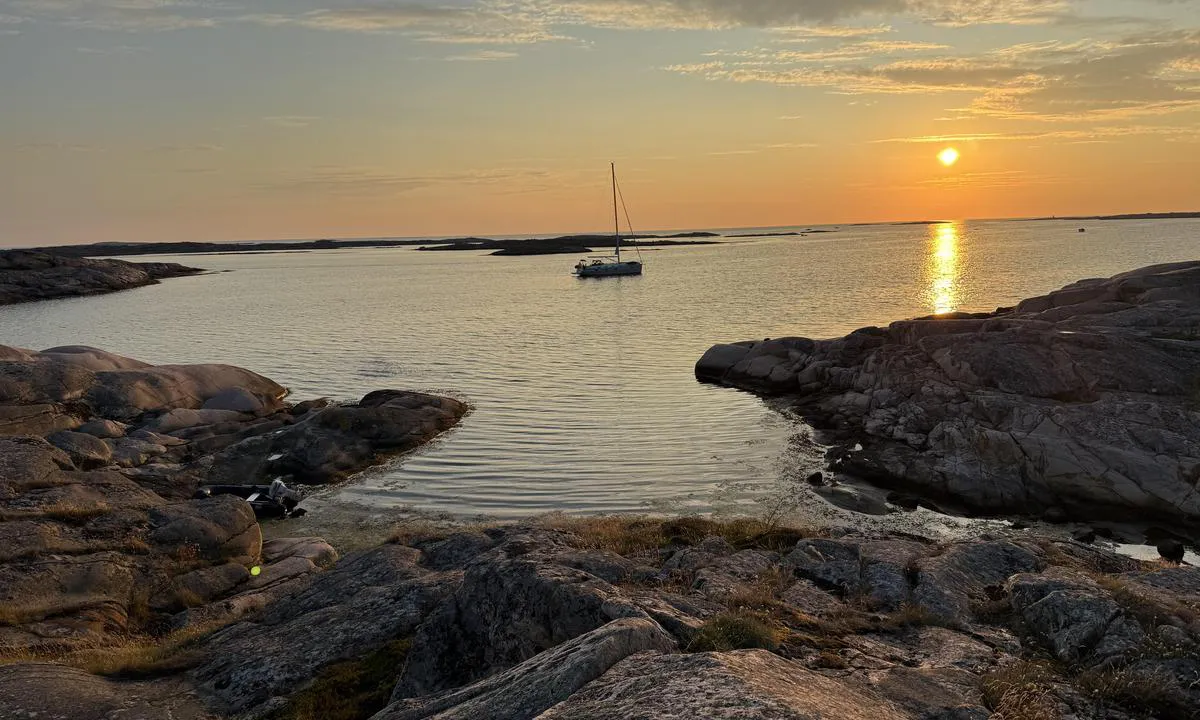

1 liker bildet
Image uploaded on 25. Jul 2025
Hummerbågen
natural_harbour
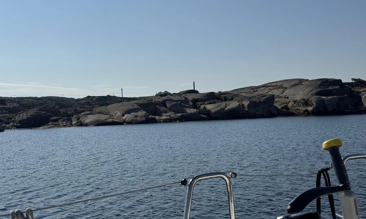

1 liker bildet
Image uploaded on 25. Jul 2025
Härön - Hisingsviken
natural_harbour
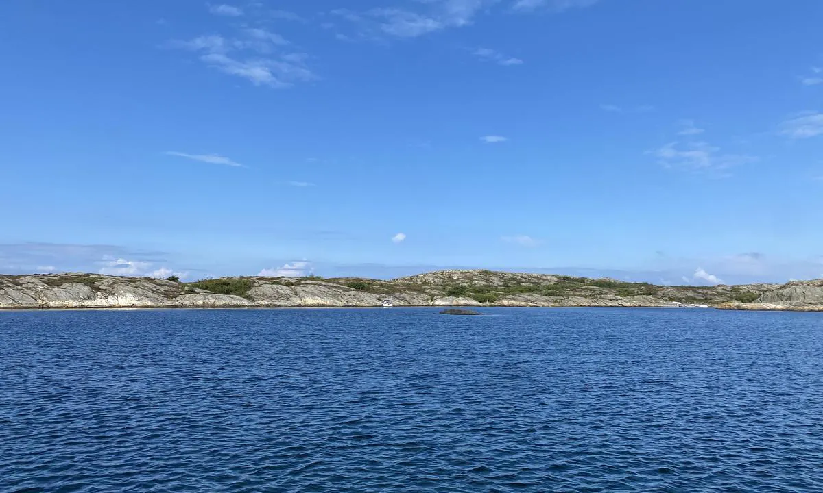

0 liker bildet
Image uploaded on 24. Jul 2024
Härön - Hisingsviken
natural_harbour
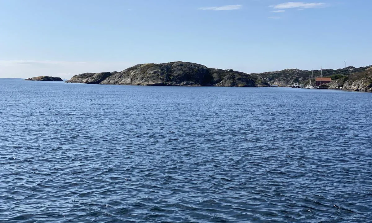

0 liker bildet
Image uploaded on 24. Jul 2024
Härön - Hisingsviken
natural_harbour
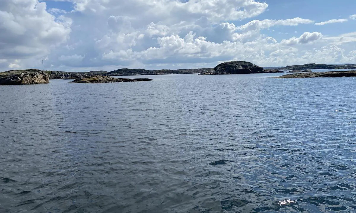

0 liker bildet
Image uploaded on 24. Jul 2024
Härmanö - Grindebacken
natural_harbour
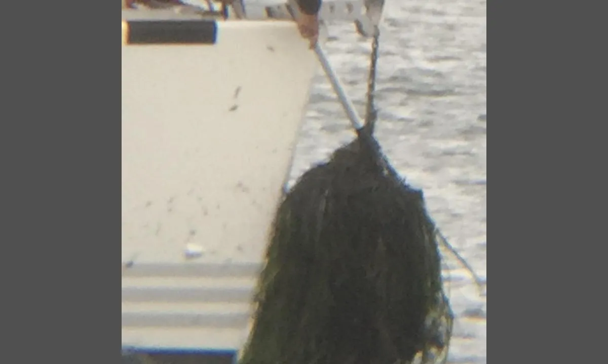

0 liker bildet
Image uploaded on 21. Jul 2022
Moss Gjestehavn
marina
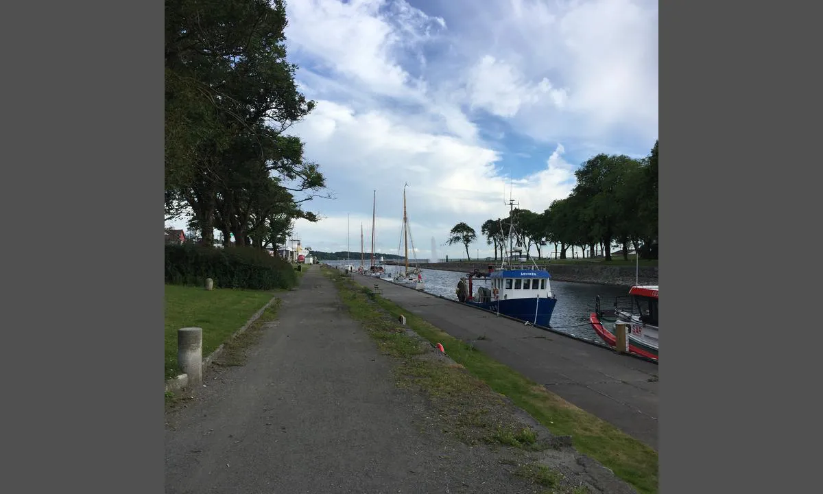

0 liker bildet
Image uploaded on 30. Jun 2021
Jensesundet - Bolærne
marina

0 liker bildet
Image uploaded on 2. Jul 2021
Moss Gjestehavn
marina

0 liker bildet
Image uploaded on 1. Jul 2021
Resö Gästhamn
marina

0 liker bildet
Image uploaded on 12. Jul 2021
Resö Gästhamn
marina

0 liker bildet
Image uploaded on 12. Jul 2021
Signalodden
natural_harbour
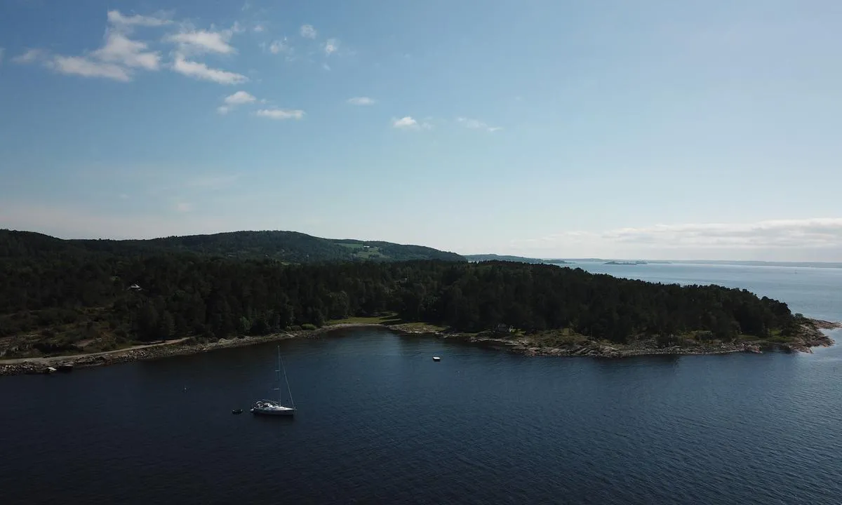

0 liker bildet
Image uploaded on 25. Jun 2021
Signalodden
natural_harbour
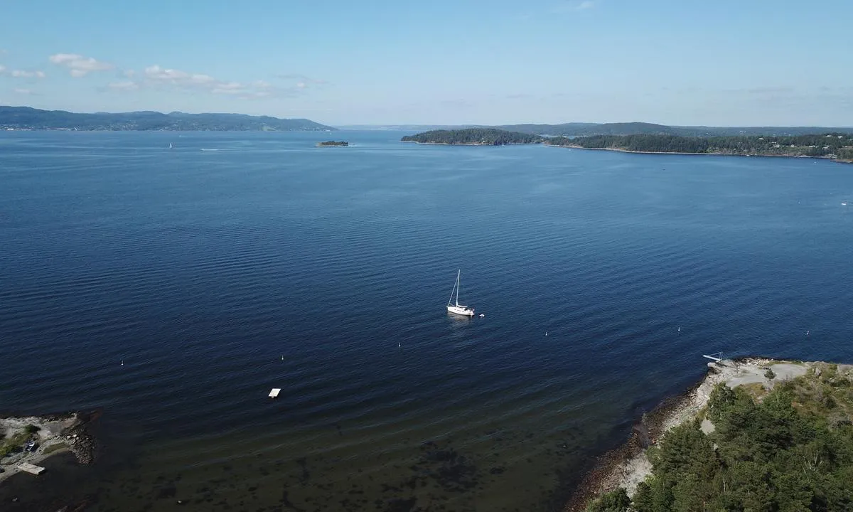

0 liker bildet
Image uploaded on 25. Jun 2021
Søly Båthavn
marina
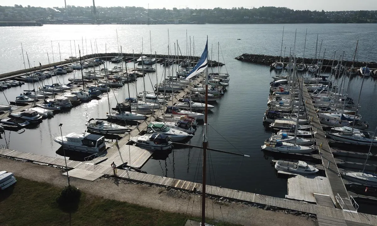

0 liker bildet
Image uploaded on 25. Jun 2021
Søly Båthavn
marina
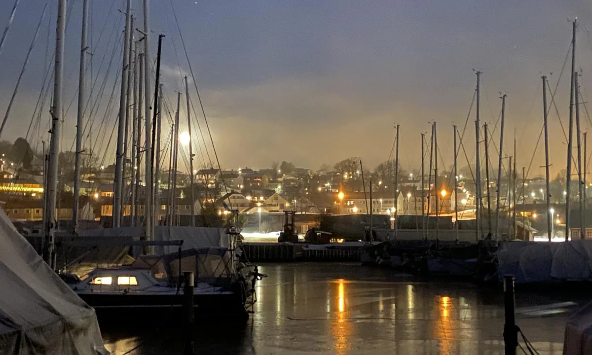

0 liker bildet
Image uploaded on 25. Jun 2021
Evjesund
natural_harbour
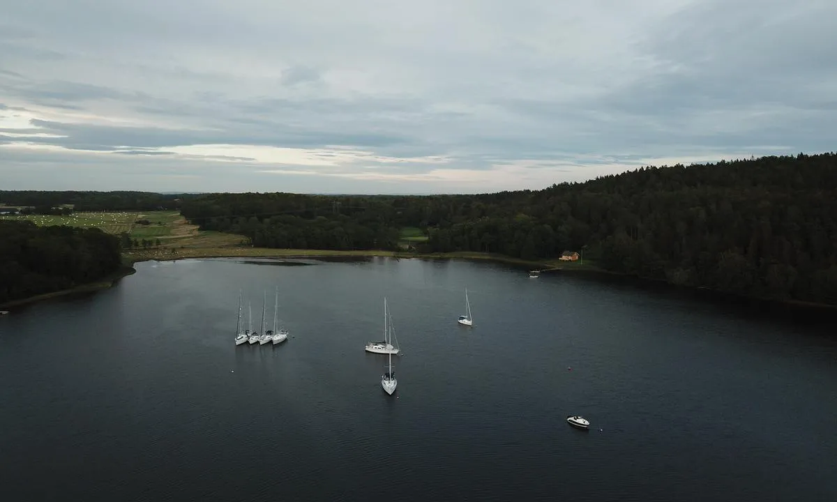

0 liker bildet
Image uploaded on 25. Jun 2021
Eldøya
natural_harbour

0 liker bildet
Image uploaded on 25. Jun 2021
Båteviken
natural_harbour
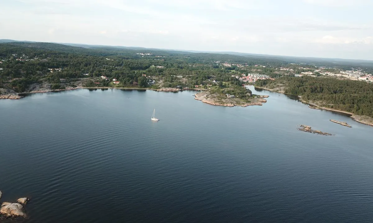

0 liker bildet
Image uploaded on 9. Jul 2021
Båteviken
natural_harbour
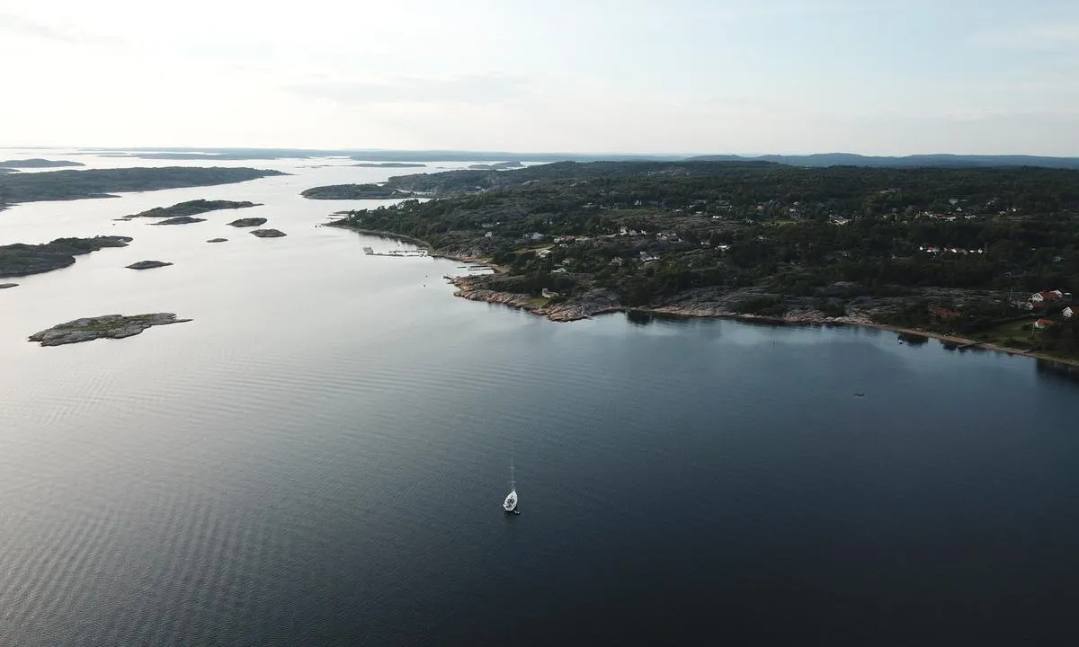

0 liker bildet
Image uploaded on 9. Jul 2021
Taralden og Danmark
natural_harbour
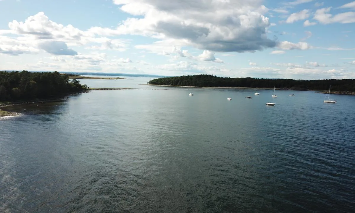

0 liker bildet
Image uploaded on 25. Jun 2021
Signalodden
natural_harbour
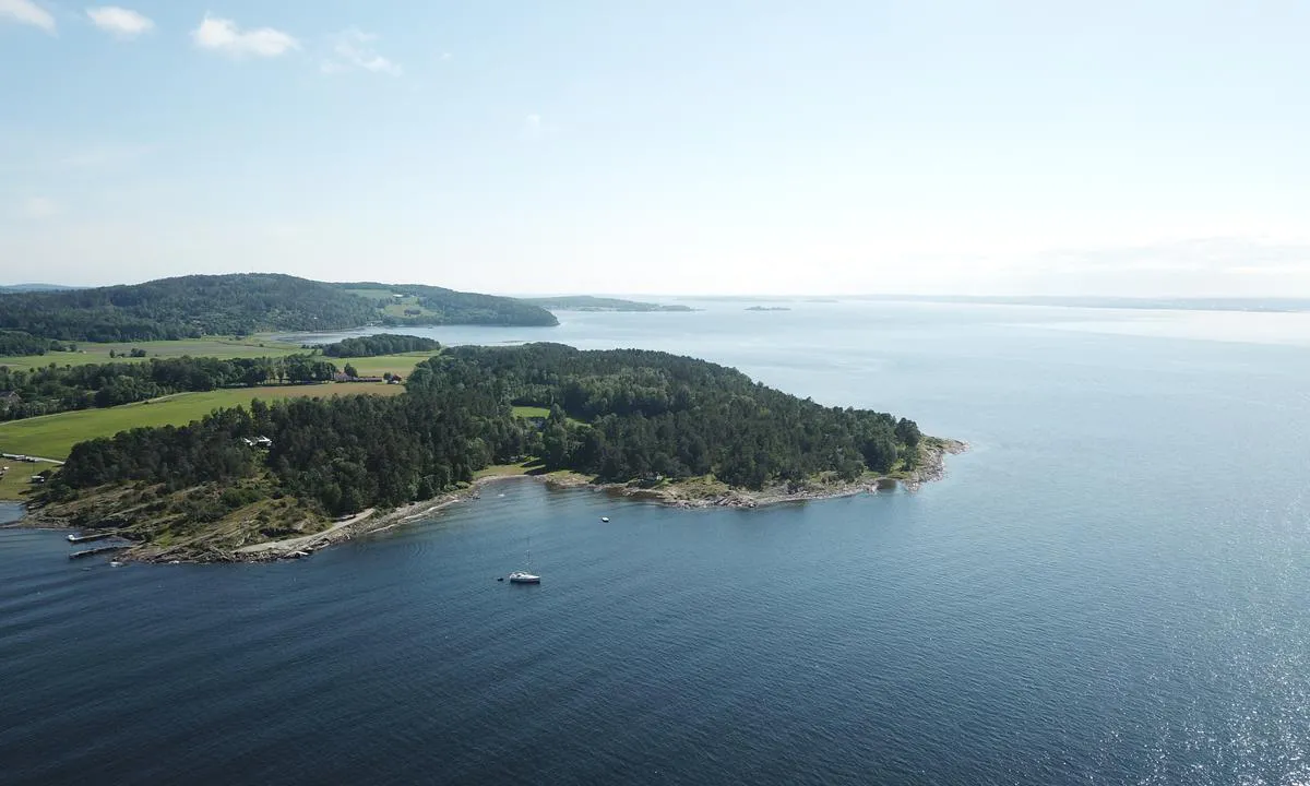

0 liker bildet
Image uploaded on 25. Jun 2021
Smaustangen
natural_harbour
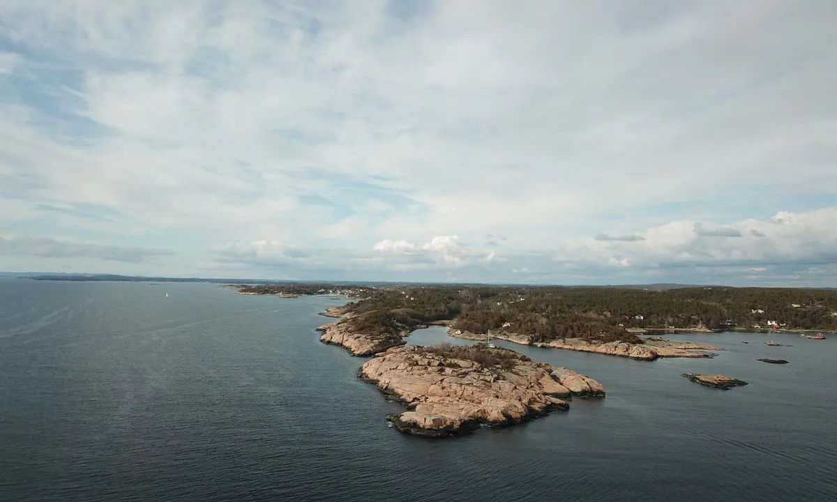

0 liker bildet
Image uploaded on 25. Jun 2021
Källareholmen
natural_harbour
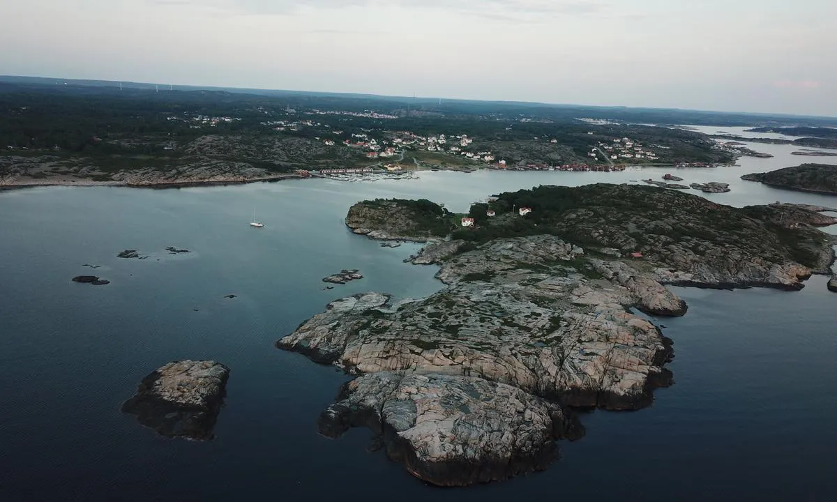

0 liker bildet
Image uploaded on 14. Jul 2021
Källareholmen
natural_harbour
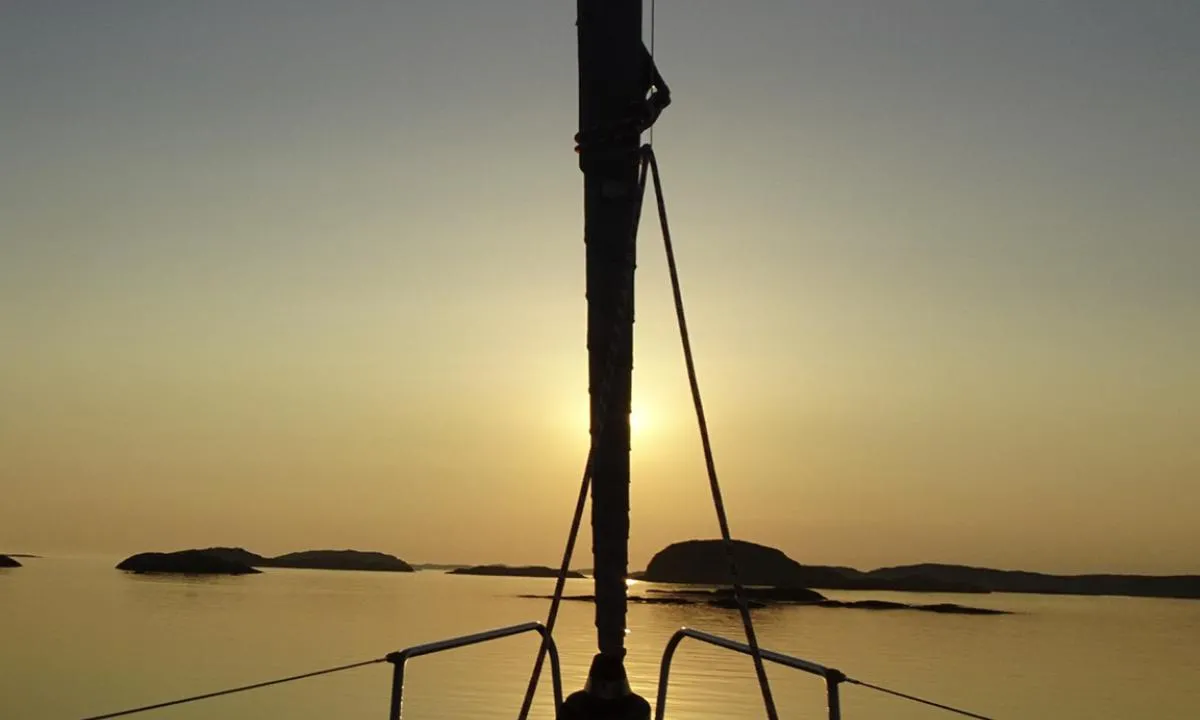

0 liker bildet
Image uploaded on 15. Jul 2021
Strömsund - Väderöarna
natural_harbour
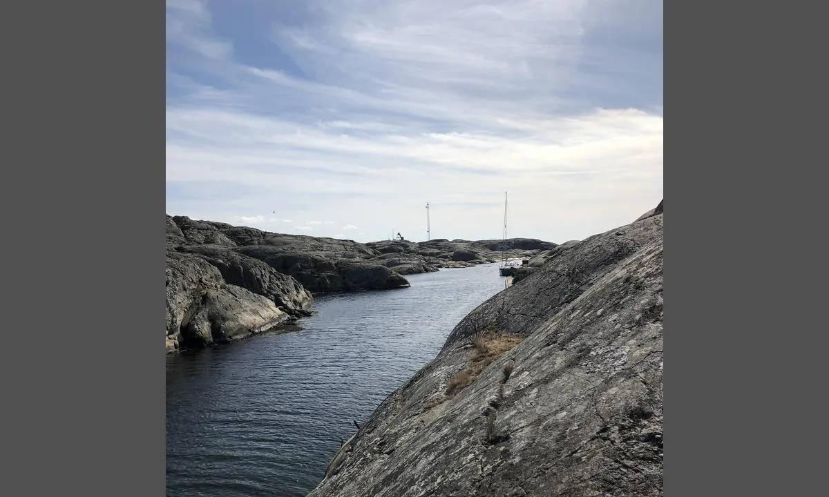

0 liker bildet
Image uploaded on 15. Jul 2021
Strömsund - Väderöarna
natural_harbour
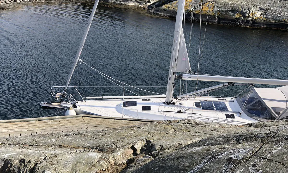

0 liker bildet
Image uploaded on 15. Jul 2021
Strömsund - Väderöarna
natural_harbour
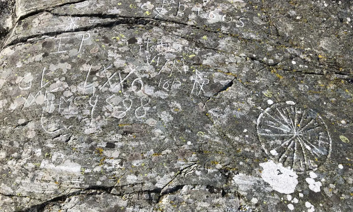

0 liker bildet
Image uploaded on 15. Jul 2021
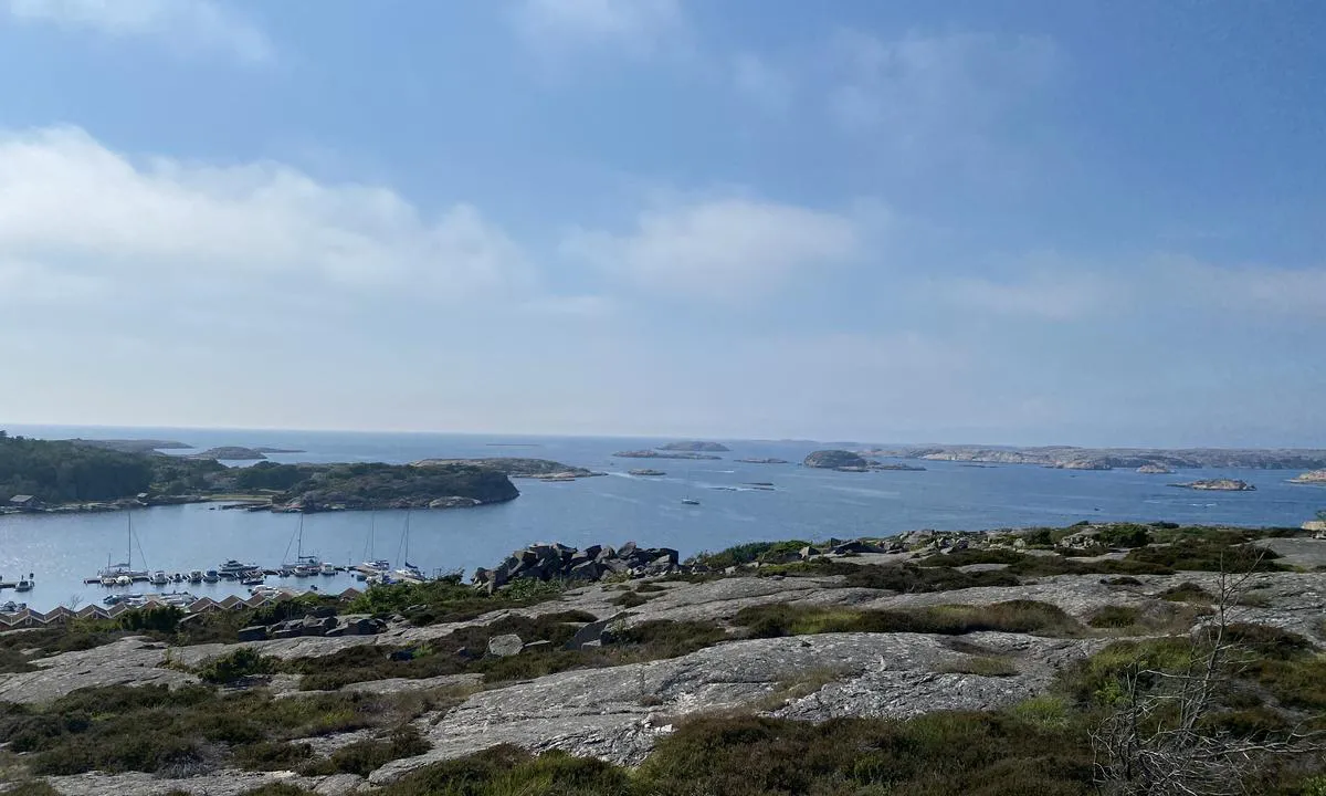
Källareholmen
natural_harbour

0 liker bildet
Image uploaded on 15. Jul 2021
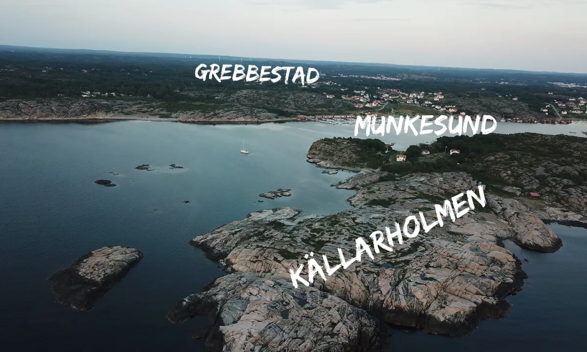
Källareholmen
natural_harbour

0 liker bildet
Image uploaded on 15. Jul 2021
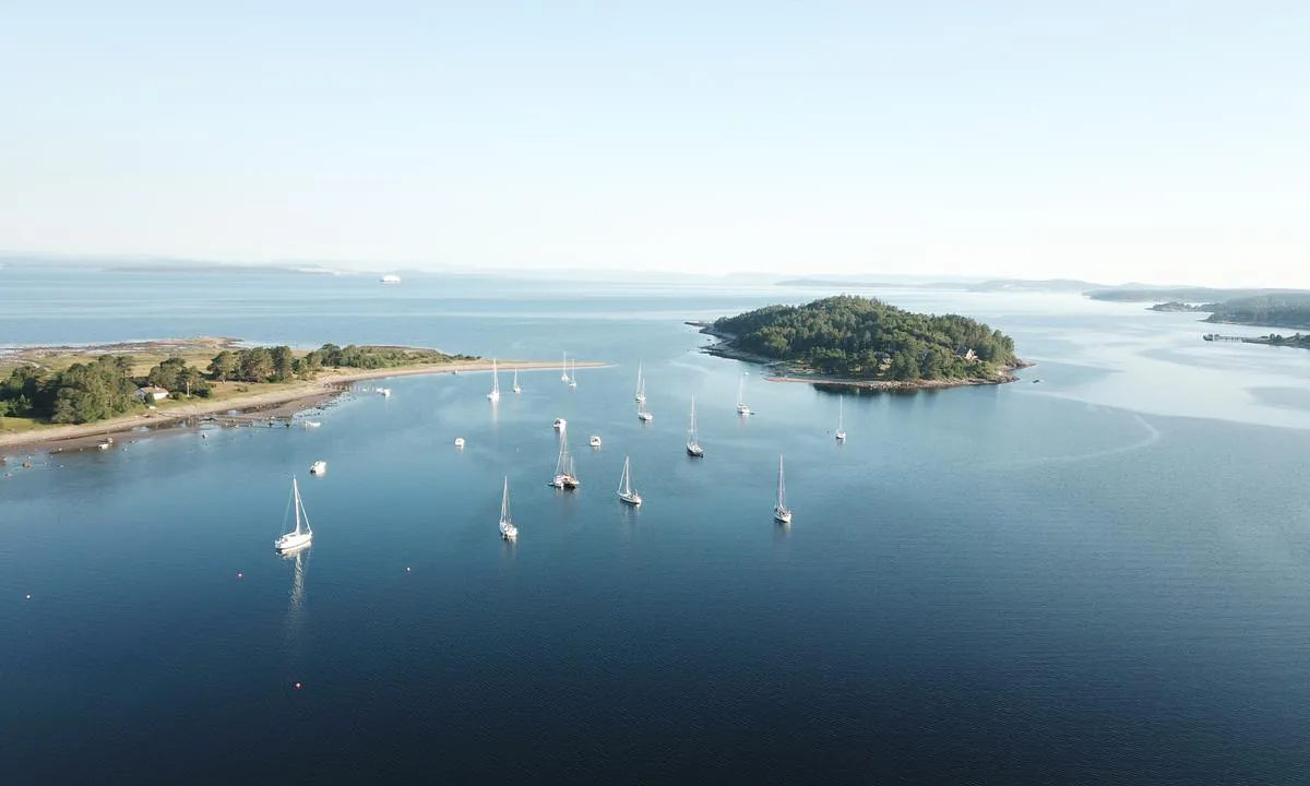
Eldøya
natural_harbour

0 liker bildet
Image uploaded on 3. Jul 2021
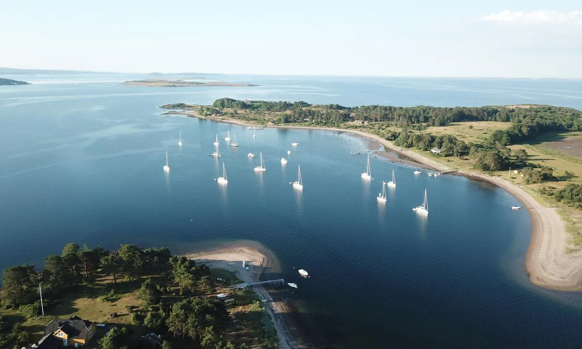
Eldøya
natural_harbour

0 liker bildet
Image uploaded on 3. Jul 2021
Valön Långö
natural_harbour
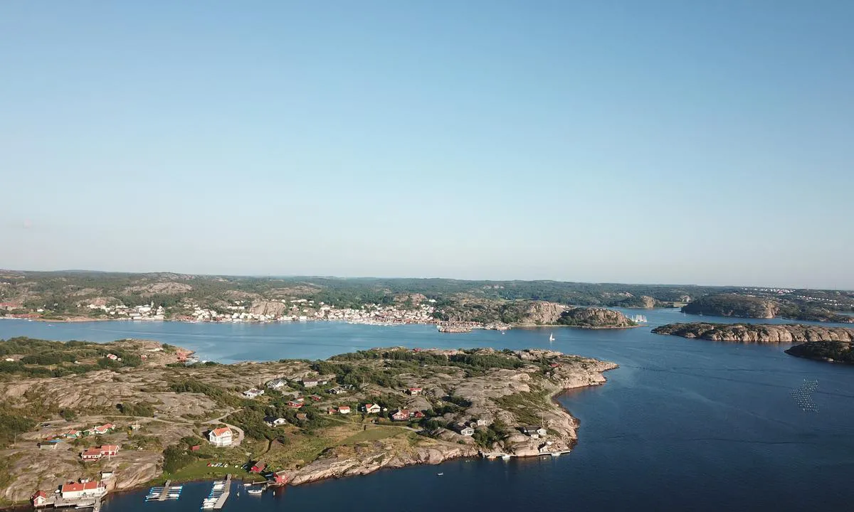

0 liker bildet
Image uploaded on 17. Jul 2021
Eldøya
natural_harbour
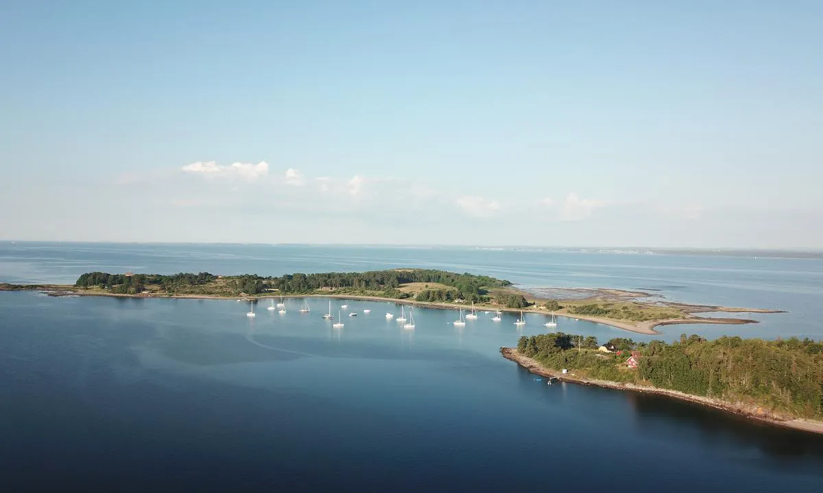

0 liker bildet
Image uploaded on 3. Jul 2021
Kalvön - indre basseng
natural_harbour
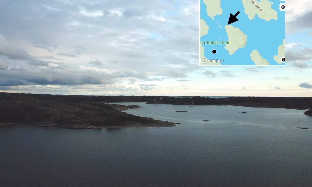

0 liker bildet
Image uploaded on 10. Jul 2021
Jensesundet - Bolærne
marina
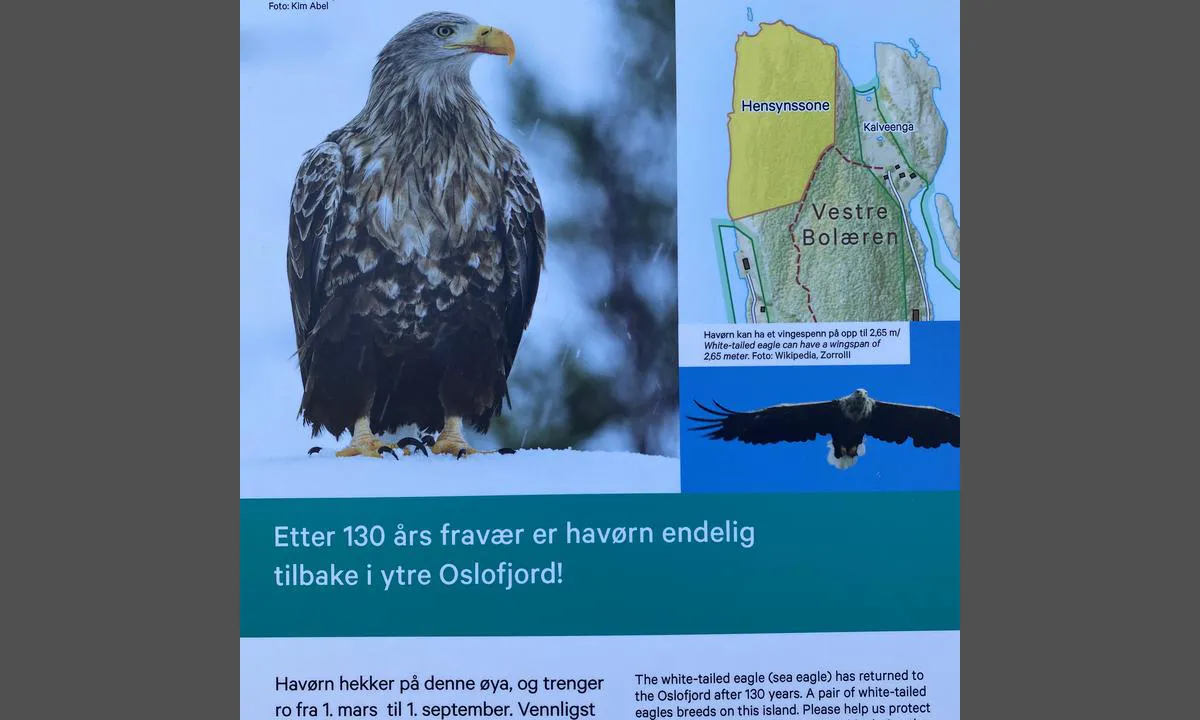

0 liker bildet
Image uploaded on 2. Jul 2021
Reviews
See a helpful review? Please click the 👍 below the review to let Svai know that you found it helpful.
Svai says:
description
Approach and maritime conditions: Strömsund in Väderöarna is an anchorage in the true sense of the word. Väderöarna is located out at sea, directly west of Fjällbacka. Here you are well protected from the weather along wooden quays or alongside the rocks. Mooring preferably on the west side of the sound, but it is also possible to moor on Storö's side for motorboats that do not require depth. The approach is not demanding either from the north or south, but be aware of some very shallow areas that are well marked on the chart. The name of the sound is not accidental, there can be a strong current to take into account if the weather comes from the north or south.
Väderöarna is extremely popular, and for good reason, because it is beautiful here! Therefore, you have to be prepared to find an alternative place for the night if you arrive late in the afternoon during the high season. You should also expect that some will want (demand) to berth several boats side by side here.
Anchoring: Mooring alongside on fixed wooden quays or alongside the rocks.
The area: Väderöarna has traces of having functioned as an emergency harbor for many hundreds of years. The east side of the sound is Storö. On Storö's southeast side, you will find a guest harbor with a kiosk, a restaurant, and not least a lot of tourists who are transported here by shuttle boat from Fjällbacka.

4 x helpful | written on 16. Jul 2021
Svai says:
description
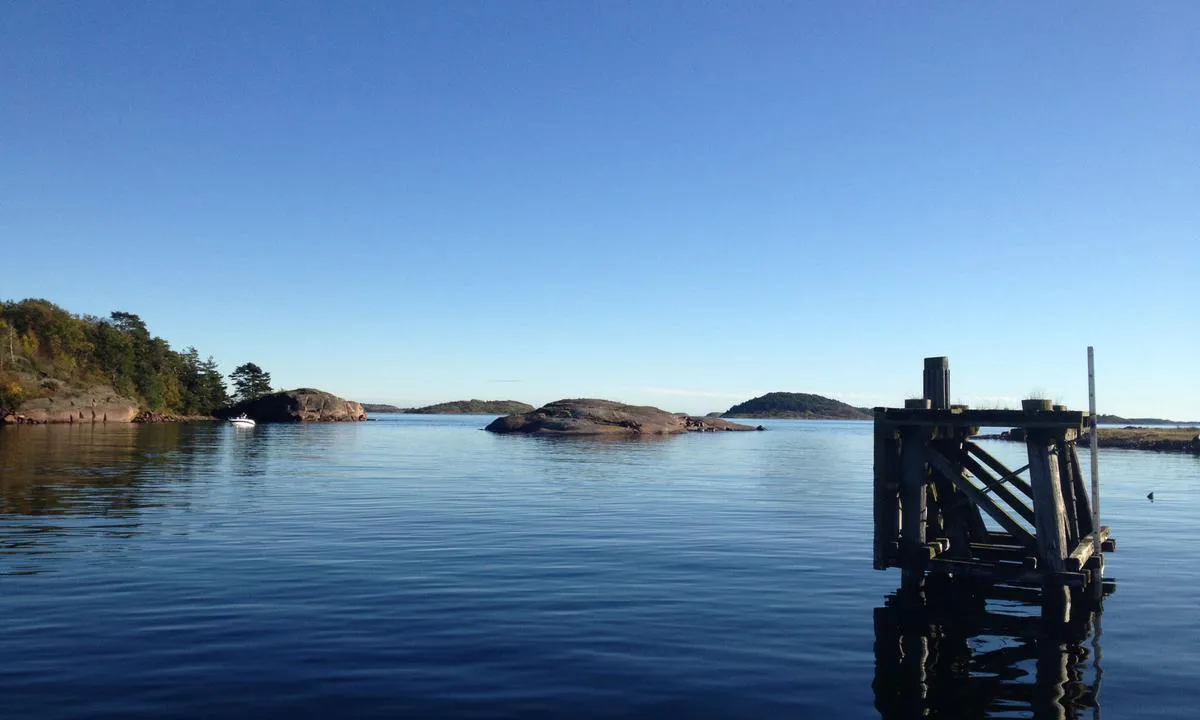
Entrance and Maritime Conditions: Jensesund is situated between the islands of Vestre Bolærne and Mellom-Bolærne. The entrance is straightforward, but be aware of shallow areas well marked on the nautical chart. The easiest access is from the north, between Jenseskjær and Mellombolæren. There is a lot of traffic in the strait on good weather days during the high season.
Mooring: Jensesund is a decommissioned coastal fort where you can moor at the guest docks as long as there is space. You can only moor alongside fixed docks or the floating docks that have been laid out. The fixed dock furthest north is reserved for the ferry and taxi boat, as well as for those running the café and sea houses. Spots reserved for these are well signposted. Mooring is easy, but it can be somewhat tight and uncomfortable to maneuver out from the dock in strong side winds.
It is possible to anchor, in moderate winds, between the two islets and Jenseskjær, as well as in the northeastern part of the strait (see separate entry).
There is also a small floating dock towards Mellom-Bolærne, primarily for embarking and disembarking if you want to hike on M-Bolærne. It is relatively shallow at this dock.
The Area: Lovely hiking trail around the island and a large camping area on a meadow a bit north of the docks.
The café and food service are normally open during the holiday season and weekends in the boating season. Check the Facebook page for "Jensesund Havnekro" for information.
There are nesting Sea Eagles on V. Bolærne. The area around the nesting site is protected, and it is not allowed to travel in that part of the island. However, there is a good chance you will see an eagle in the air if you keep an eye out.
There are many traces of military activity on the island that can be exciting to explore. If you are lucky, you may get a glimpse inside the enormous mountain halls that have exits both towards the guest harbor in Jensesund in the east and the deep-water pier on the west side.
On the top of the island lies a large burial mound. Just follow the marked trail on the island, and you will find it.

4 x helpful | written on 2. Jul 2021
Svai says:
description
Approach and maritime conditions: Søly is the home harbor for Moss Sailing Association. Guest spots are marked with red and green signs. Do not dock at red spots. Active sailing community in the harbor. Guest toilets and showers are cleaned every night but are not completely up to date.
Busy ferry and container port on the mainland side. Some noise from the Bastø ferry.
Guest fees are paid with the Gomarina app.
Boat ramp.
Entrance from the east. Some rolling cross sea in the breakwater opening during strong winds from the south.
Electricity and drinking water on the docks.
Many children/young sailors in the harbor. Be considerate!
Security and camera surveillance in the harbor.
The harbor office is staffed by a permanent harbor master.
Mooring: Mooring on fixed docks on the breakwater south and north in the harbor. Maximum boat length about 13 m on the breakwater.
Mooring on floating dock. C-dock maximum 12.2 m on the north side. Only allowed to dock at spots with green signs.
The area: From Søly, you have access to the nature conservation areas on southern Jeløy. Beaches on both sides of the harbor. It is about 1 km along the coastal path to Moss city center with all facilities.
Boat equipment: Seatronic boat equipment (not within walking distance)
Fresh baked goods can be bought at the glassworks and by the canal. Specialty store for fish and meat in the canal. Fresh shrimp directly from the trawler Åviken, check Åviken on Facebook for sale times (depending on the catch).
Transport hub: Moss has train, bus, and ferry connections to all directions.
The sailing association has rental facilities.
Paradise for kiting and windsurfing on the beach areas south of Søly.
Galleries and culture in the nearby area.

3 x helpful | written on 25. Jun 2021
Svai says:
description
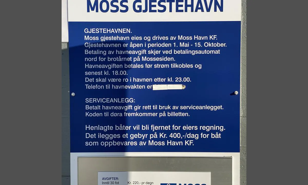
Entry and maritime conditions: Moss guest harbour is located in the canal on both sides of the canal bridge that connects Jeløya with Moss. The bridge is welded shut and has a free sailing height of 4.5 m according to nautical chart data.
Entry from the south is straightforward, but stay clear of the Bastø ferries that lie to the east of the canal opening. Just west before the entry, you will find Fiske marina and the city beach/Sjøbadet. South of the bridge, it is only possible to moor on the east side towards the Bastø ferry parking.
When the current and wind go in opposite directions, it can create choppy waters at the canal mouth. This can be further exacerbated by the ferry's thrusters when they leave the quay.
Entry from the north is completely trouble-free from Mossesundet. On this side of the bridge, you can moor on both sides in the canal, as well as on the floating docks just north of the customs house (Peppes Pizza).
Depths in the canal are 3.5-5 m. You cannot moor on the west side south of the bridge.
Mooring: Mooring in the canal is alongside wooden docks. Mooring on floating docks is in slips or alongside.
Anchoring is prohibited!
There can be relatively strong currents in the canal under unfavorable conditions, which you should be aware of when berthing.
The area: The guest harbour offers full-service guest harbour facilities. In Moss, you will find all city amenities, a butcher, bakery, and fish shop by the canal and walking distance to most other facilities, shopping centers, beaches, galleries, restaurants, cinema, etc.
There may be some party noise in the canal during peak season. Peppes Pizza and Fiskebasaren are located on the east side of the dock. Fiskebasaren has sing-alongs and a good atmosphere on Wednesdays during the season.
The canal is well trafficked by small boats on good weather days.

3 x helpful | written on 30. Jun 2021
Svai says:
description
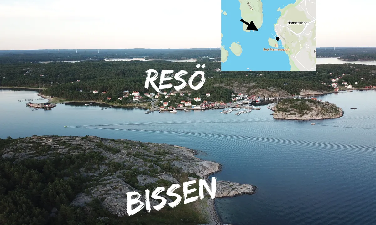
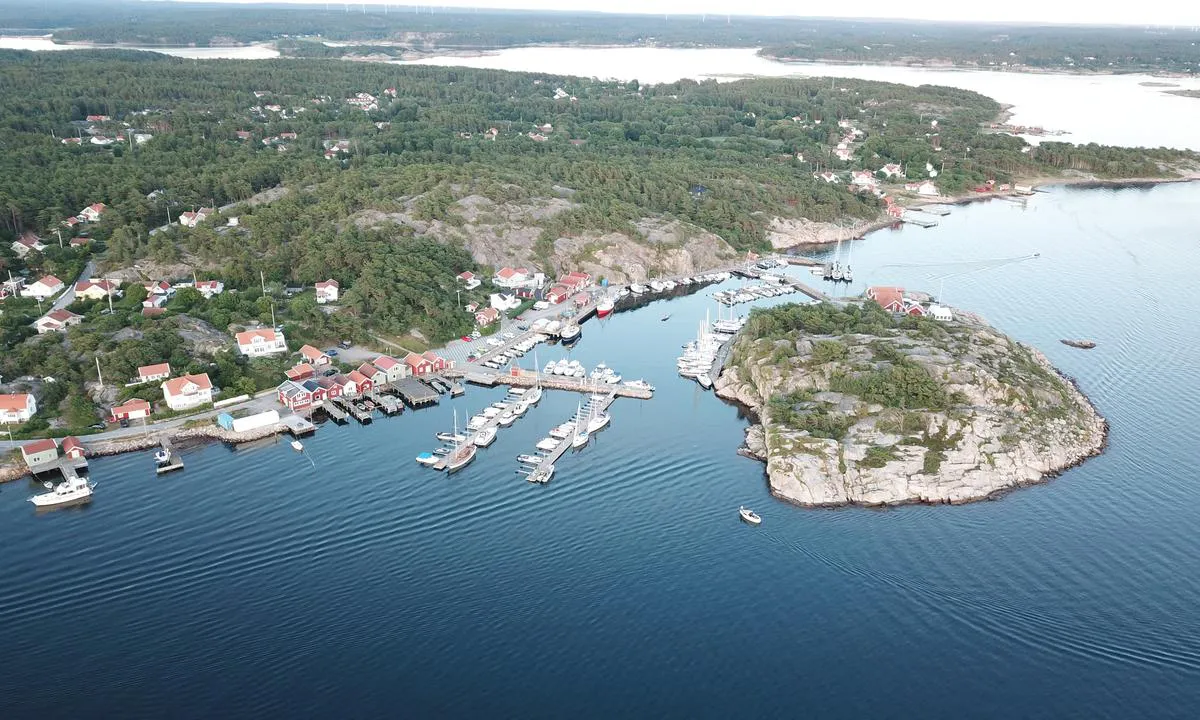
Navigation and maritime conditions: Resö is the first guest harbor on the way south from Kosterfjorden to Havstensund. The harbor is directly to port when you exit the strait between the islands Store-Snart and Bissen. Approach from NW
Mooring: Longside on floating docks and own anchor towards fixed docks in the inner harbor.
The area: Classic Swedish west coast idyll.

3 x helpful | written on 13. Jul 2021
Svai says:
description
Approach and maritime conditions: The natural gem Dannemark is situated like a large harbour basin approximately midway along the inner route “E6” between Hamburgsund and Bovallstrand. The approach is completely straightforward, directly connected to the fairway.
Approach is also possible from the west through the sound north of Dannemark. This is also straightforward, but from here you should have control of the nautical chart among islets, reefs, and some unmarked shallows.
Anchoring: Anchoring at depths of 5-10 meters, muddy clay. There are also several mooring possibilities along the shore.
Note! Do not anchor too shallow < 4-5 meters, as the holding ground is poor and many have found themselves hanging only in seaweed.

3 x helpful | written on 25. Jul 2021
Svai says:
description
Approach and maritime conditions: Eldøya is located in Larkollsundet directly west of Støtvig Hotel. Easy approach from the south, west (between Eldøya and Store Sletter), and north. Unlimited number of swinging moorings.
Anchoring: Swinging harbor, anchoring depth 8-10m
South to southeast wind direction with some strength causes a choppy water surface. There are times with strong currents, and do not expect the wind direction to indicate where other boats' anchors are located.
Note that Larkollsundet is heavily trafficked and there are no speed restrictions in the fairway, so there might be larger waves that can come somewhat unexpectedly.

3 x helpful | written on 3. Jul 2021
Svai says:
area


maritime qualities


description
Hummerbågen is located at the outermost northern entrance to Kungshamn and Smøgen. Easy entrance but keep an eye on the chart and watch for some shallow areas and breaking reefs.
Some boat traffic from those entering and leaving at Pinan during the peak season,
Good holding ground for anchoring in about 10 meters depth.

2 x helpful | written on 25. Jul 2025
Svai says:
description
Approach and maritime conditions: Good swinging room around 1 nm outside Strømstad. Well sheltered from East and West winds. More open towards North and South. There are some skerries in the area, so keep an eye on your charts and look up from time to time.
Mooring: Anchorage depth 7-8 meters. Good holding ground clay/mud.

2 x helpful | written on 9. Jul 2021
Svai says:
description
Approach and maritime conditions: Valön is located immediately NNW of Bovallstrand. Easy approach from the south, which is the only way into the bay. Large natural harbor basin with space for many boats to anchor.
Anchoring: Valön is an anchorage. It is possible to moor against Långö, which forms the southwestern side of the bay. Anchorage depth from 4-10 meters.

2 x helpful | written on 16. Jul 2021
Svai says:
description
Approach and maritime conditions: Långö is located directly south of Fiskartången in Kungshamn. Entrance is from the east. Keep to starboard when passing Hampholmärna if you are coming from Smögen/Kungshamn.
It is possible to enter from the west side, but you must navigate well in the channel and not have a particularly deep-draft keel. Not recommended unless you are a local!
Anchoring: Moor to the rocks with a stern anchor in large parts of the bay or anchor on your own in depths from 6-10m.
The area: The harbor is close to perhaps the busiest part of the leisure boat route in Bohuslän. You should expect a lot of traffic through the bay, where locals go at full speed through the channel right by the anchoring area.
Nice trip in the classic West Coast archipelago. Short distance to Kungshamn (Town facilities and Systemet), as well as Smögen (the hottest spot on the Swedish West Coast).

2 x helpful | written on 23. Jul 2021
Svai says:
description
Inland, there is a campsite and nice recreational areas with good access by tender. During the summer season, you can enjoy beautiful sunsets at Signalodden. Great hiking areas; if you hike up to Bjørnåsen, you can see all the way to Gaustadtoppen on a clear day.

2 x helpful | written on 25. Jun 2021 | updated_on 1. Jan 2023
Svai says:
description
Approach and maritime conditions: Evjesund is located approximately 6 km south of Moss center in Rygge municipality. Pass around the iron marker north of Stangarholmen with good clearance. Steer through the middle of the channel until you have the headland on the port side. Keep to the middle of the sound between the quay on the port side and the reef on the starboard side.
Anchoring: 2.5 meters. Lots of grass on the bottom which can pose anchoring challenges, but it is well-sheltered, so it usually works out fine. Let out plenty of rope/chain. A blue buoy for OF members and several buoys owned by the slipway on land. Have used these many times without anyone protesting.
The area: Evjesundet is a beautiful and sheltered harbor. Inside the bay, there are wetland areas and some cottage developments. No public docks. Several association buoys are located at the site.
At the innermost part of the bay towards the NW, there is a floating dock that can be used by visiting boats for landing with a dinghy. The rest of the shoreline is privatized or impassable.
Marked hiking trail in beautiful landscape, feel free to take a hike up to the tower on Vardåsen, from there you have a view over the entire outer Oslofjord, as well as a wide view over the cultural landscape in Rygge.

1 x helpful | written on 25. Jun 2021
Svai says:
description
Approach and maritime conditions: Källareholmen is located midway, directly east of the main fairway between Havstensund and Grebbestad. The approach is straightforward from the south and north, but beware of foul waters if entering from the west.
Anchoring: Good anchoring ground in clay at 8-10 meters.
The area: Beautiful swing room with a great view of islets and skerries at a comfortable distance from the so-called E6 down Bohuslän.

1 x helpful | written on 15. Jul 2021
Svai says:
description
Approach and Maritime Conditions: Well-protected lagoon surrounded by Denmark to the south, Taralden to the east, and the beautiful free beach at Larkollen to the north.
Anchoring: The approach is simple both southwest and north of Taralden, but be aware of shallows that are not indicated with depth in all electronic sea charts. Depths of 5-10 m. Sandy bottom, somewhat challenging holding if you are stingy with the chain.
After prolonged SW gales in the Skagerrak, you will experience swells and uneven waves entering the bay from the east, peaking as the bottom shallows.
Note also that gales from NE-SE will be unpleasant here.
The Area: Very popular outdoor area closely connected to the legendary Larkollen Camping. Shallow beaches, perfect for families with children who take the dinghy to shore.

1 x helpful | written on 25. Jun 2021
Svai says:
area


maritime qualities


description
Easy approach from the south, but keep an eye on the chart. There are some occasional reefs in the area.

1 x helpful | written on 24. Jul 2024


