


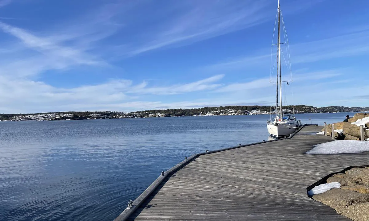
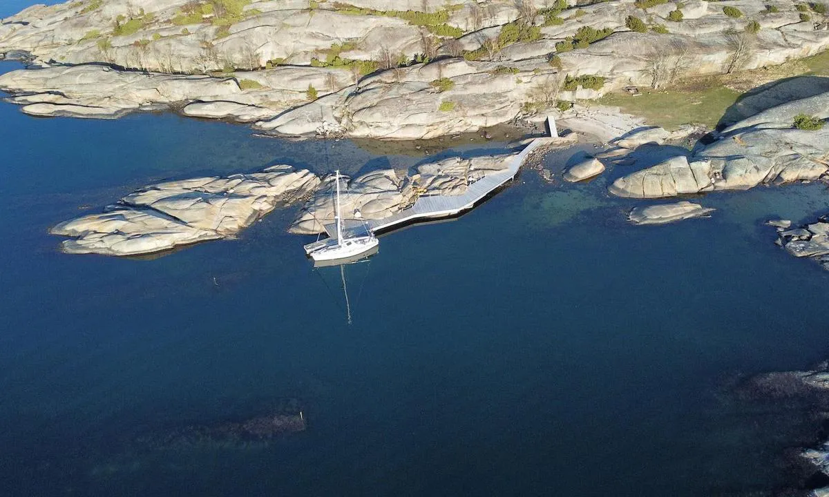
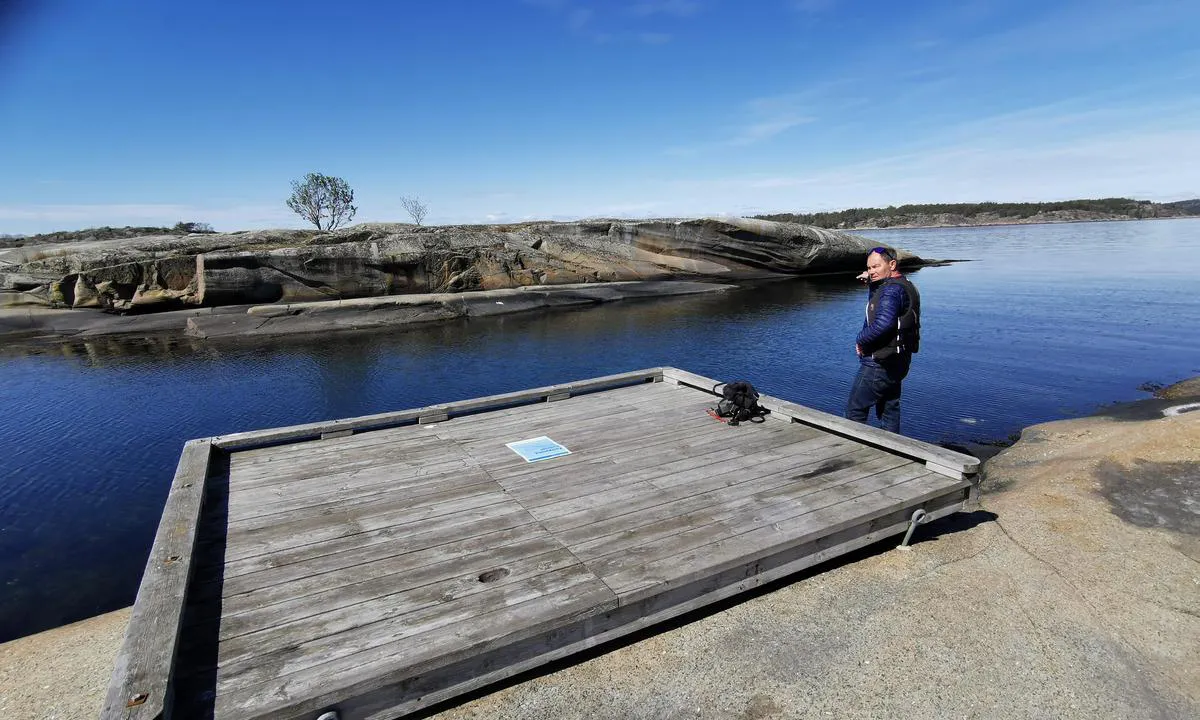
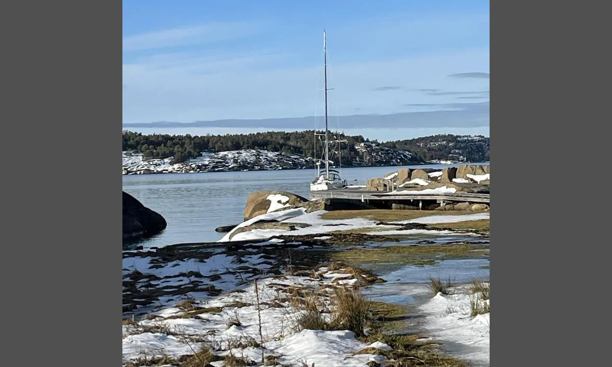
Ildverket - Nordbrygga
Natural harbour

Region: Norway (3503), Vestfold og Telemark (228), Ytre Oslofjord (193), Vestfold (185), Færder (83) and Tjøme (61)


Descriptions and reviews
Do you know this harbour? It's a huge help to other sailors if you add a short description or review of the harbour.
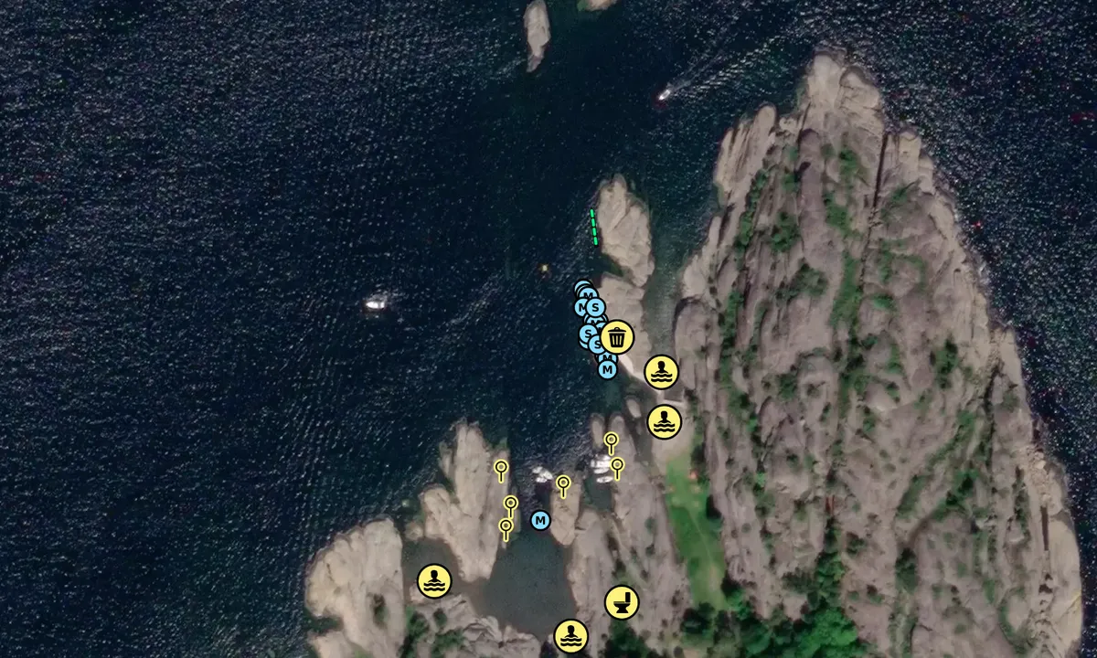
Map of Ildverket - Nordbrygga

Wind protection
Protection next night
74 points


Want to know how the wind score works? Then you should read this explanation.
The wind forecasts come from yr.no (Norwegian Meteorological Institute), and was last updated 1 hour and 36 minutes ago (Friday 24 July 06:29 AM). The next night score shows you the worst hour between 22:00 and 08:00 the next night. We recommend that you check multiple sources for wind forecasts. windy.com is a good website to show larger wind systems.
The safe directions for this harbour was added at 19. Jun 2021. Click here to edit.
Last visits to Ildverket - Nordbrygga
Thu 16 Jul 2026 |
|
|
Fri 22 May 2026 |
|
|
Sat 18 Apr 2026 |
|
|
Tue 14 Oct 2025 |
|
|
Fri 05 Sep 2025 |
|
|
 ANNA [MMSI: 257821880]
 PERIFERIEN [MMSI: 259042870]
The visits are retrieved from AIS data. You can click to see all visiting ships to Ildverket - Nordbrygga, as well as statistics about the ships that visits
Add this harbour to a journey
Choose a different date than today
Important: When you check in to a harbour, you add it to a journey on this website. You are not booking a place in the marina.
Contributors
Users that contributed to this page: Tommy Solberg, Olav Pekeberg, Drommedilla, Jorge Veiga, @alanasailing and Per Mandt i Oda
harbourmaps.com is updated by the boating community. When you add information, a review or pictures to this page you are listed here with the other contributors (we list your user-name, which can be your real name or a pseudonym).
Closest harbours to Ildverket - Nordbrygga
Filter by
Order by
0 harbours
Show more harbours
