


Karlsborg - Kanalbolaget
Marina

Region: Sweden (2144), Västra Götaland (661), Vättern (47), Göta kanal (33) and Karlsborg (15)


Descriptions and reviews
CONZISKA says:
says:
area

maritime qualities

description
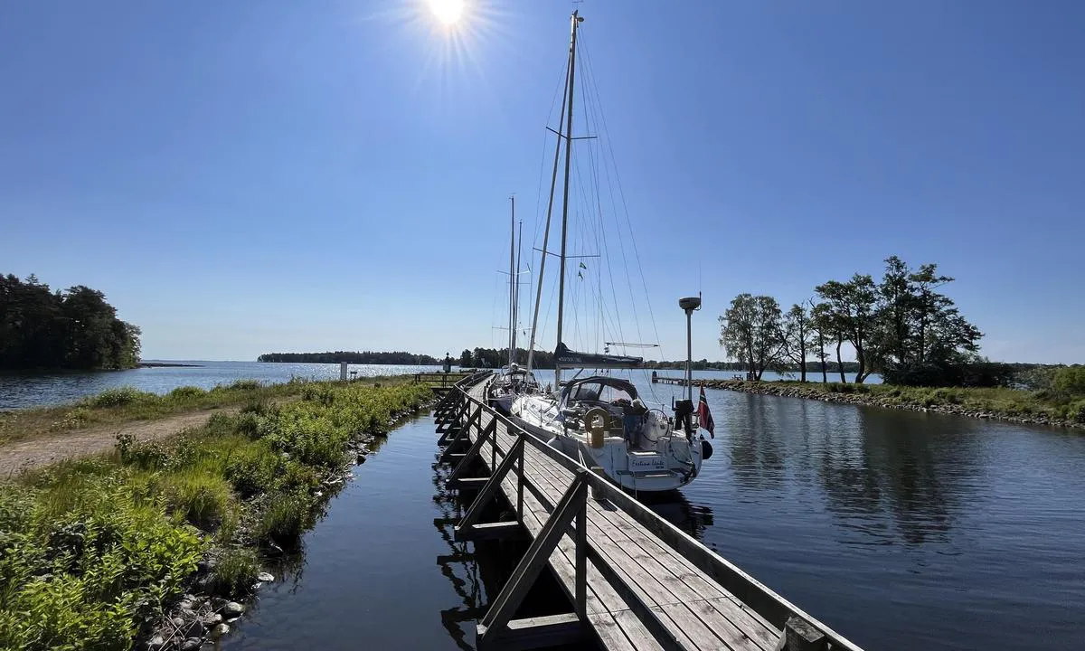
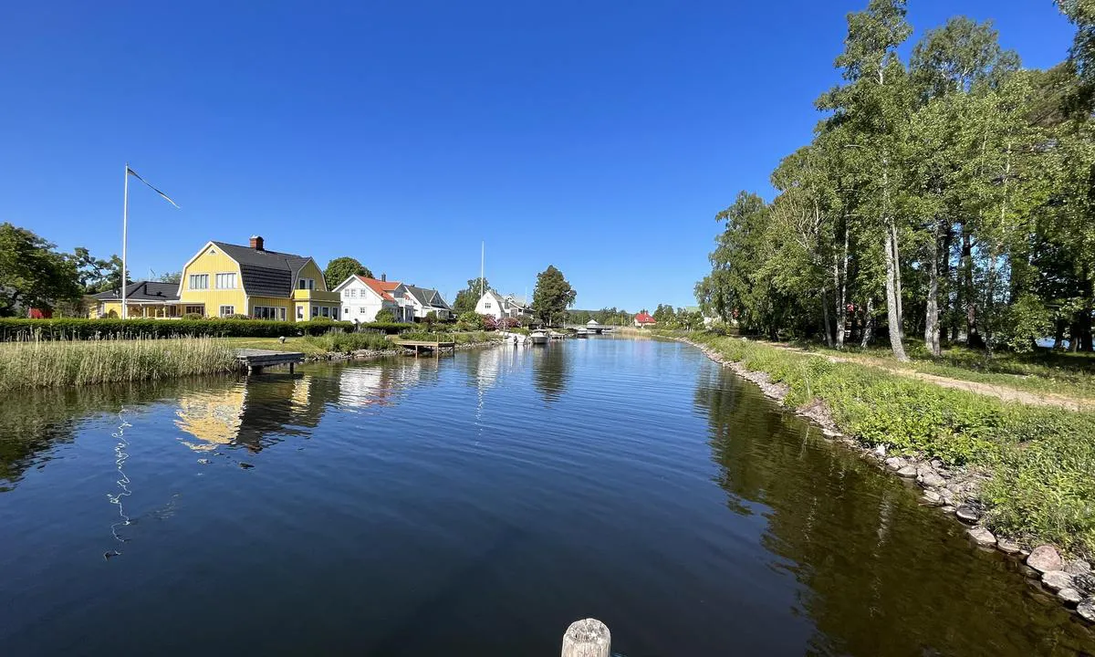
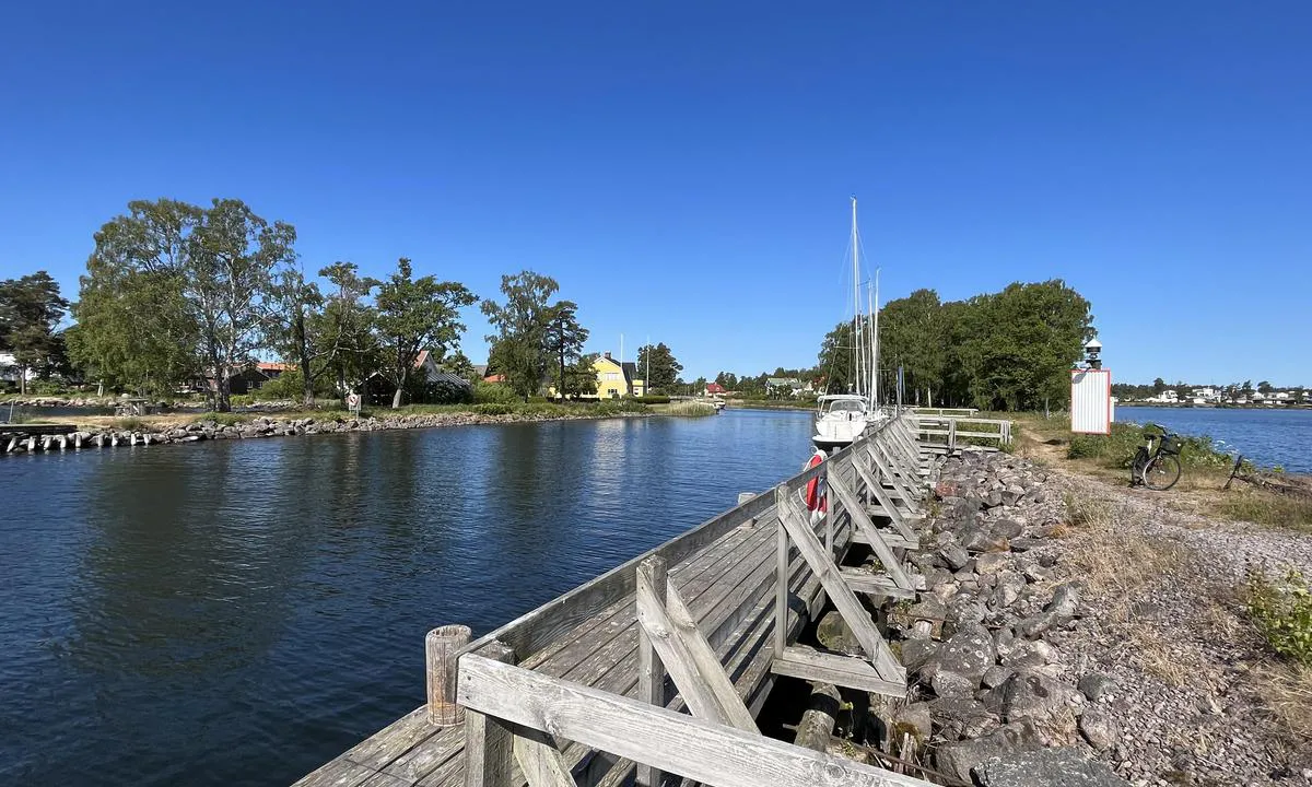
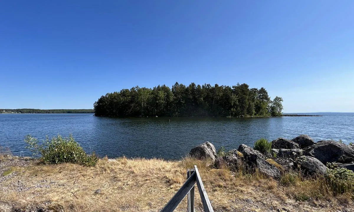
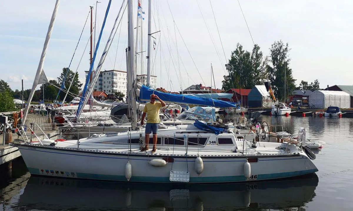
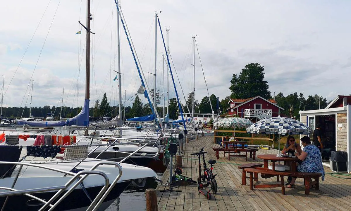
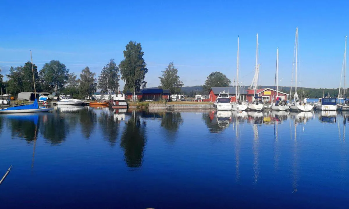
The Marina Karlsborg is strategically located on Lake Vättern, Sweden's second-largest lake, and is part of the impressive fortress complex of Karlsborg, which one should definitely visit. The location offers an ideal starting point for sailing trips on Lake Vättern and exploring the surrounding region. Approach from the lake is straightforward. There is an adequate number of berths for sailboats and yachts. Modern and clean toilets and showers are available. A fuel station for boats as well as sewage disposal facilities are available.
[translated from German with AI]

1 x helpful | written on 2. Feb 2025 | updated_on 26. Feb 2025
HarbourMaps (site admin) says:
description
Harbor depth: 1-3 meters, Guest spots: 15+15+20, Mooring: alongside / buoy
[translated from Swedish with AI]
0 x helpful | written on 14. Jul 2022
Do you know this harbour? It's a huge help to other sailors if you add a short description or review of the harbour.
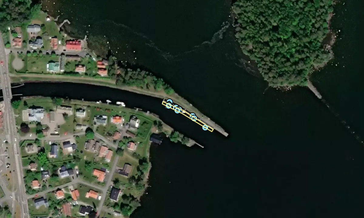
Map of Karlsborg - Kanalbolaget

Wind protection
Protection next night
80 points


Want to know how the wind score works? Then you should read this explanation.
The wind forecasts come from yr.no (Norwegian Meteorological Institute), and was last updated 1 hour and 39 minutes ago (Thursday 25 June 04:28 AM). The next night score shows you the worst hour between 22:00 and 08:00 the next night. We recommend that you check multiple sources for wind forecasts. windy.com is a good website to show larger wind systems.
The safe directions for this harbour was added at 2. Feb 2025. Click here to edit.
Last visits to Karlsborg - Kanalbolaget
Thu 21 Sep 2023 |
|
|
Sat 09 Sep 2023 |
|
|
Sat 02 Sep 2023 |
|
|
Thu 17 Aug 2023 |
|
|
Tue 15 Aug 2023 |
|
|
 EMPIRIA [MMSI: 261039140]
 AQUA VERA [MMSI: 265613040]
The visits are retrieved from AIS data. You can click to see all visiting ships to Karlsborg - Kanalbolaget, as well as statistics about the ships that visits
Add this harbour to a journey
Choose a different date than today
Important: When you check in to a harbour, you add it to a journey on this website. You are not booking a place in the marina.
Contributors
Users that contributed to this page: CONZISKA and Tone Bakke
harbourmaps.com is updated by the boating community. When you add information, a review or pictures to this page you are listed here with the other contributors (we list your user-name, which can be your real name or a pseudonym).
Closest harbours to Karlsborg - Kanalbolaget
Filter by
Order by
0 harbours
Show more harbours
