








































Descriptions and reviews
Erik Westerlund
 says:
says:
area

maritime qualities

description
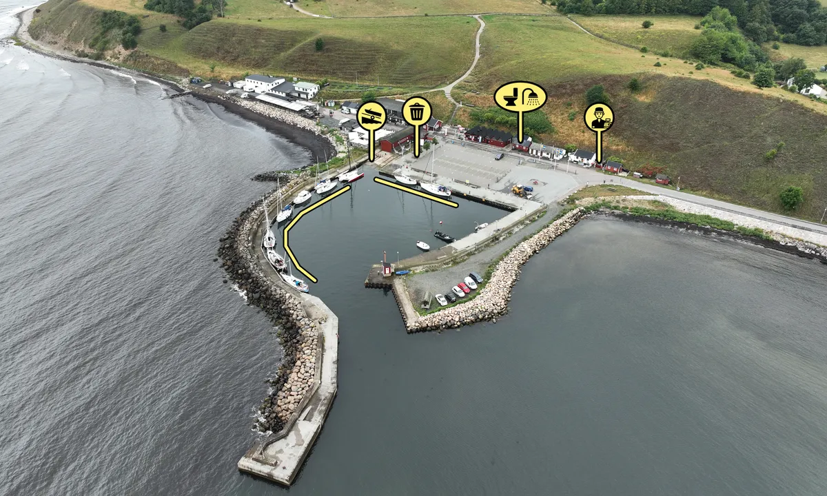
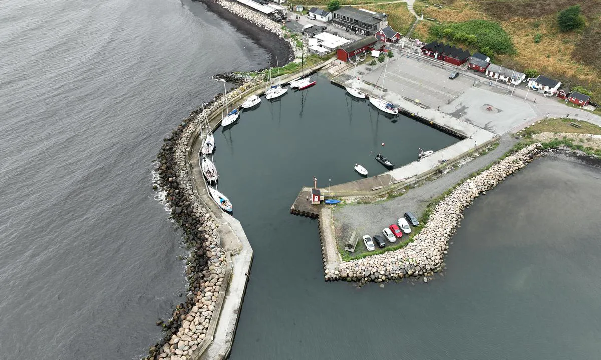
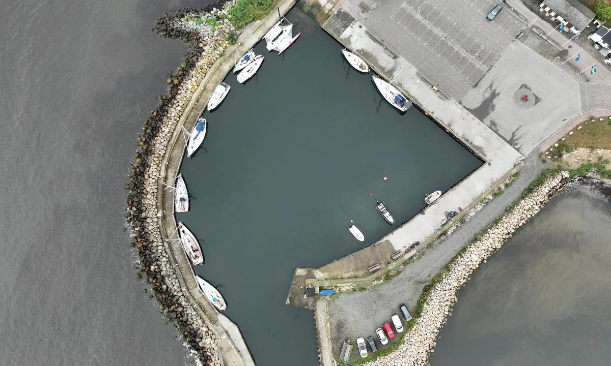
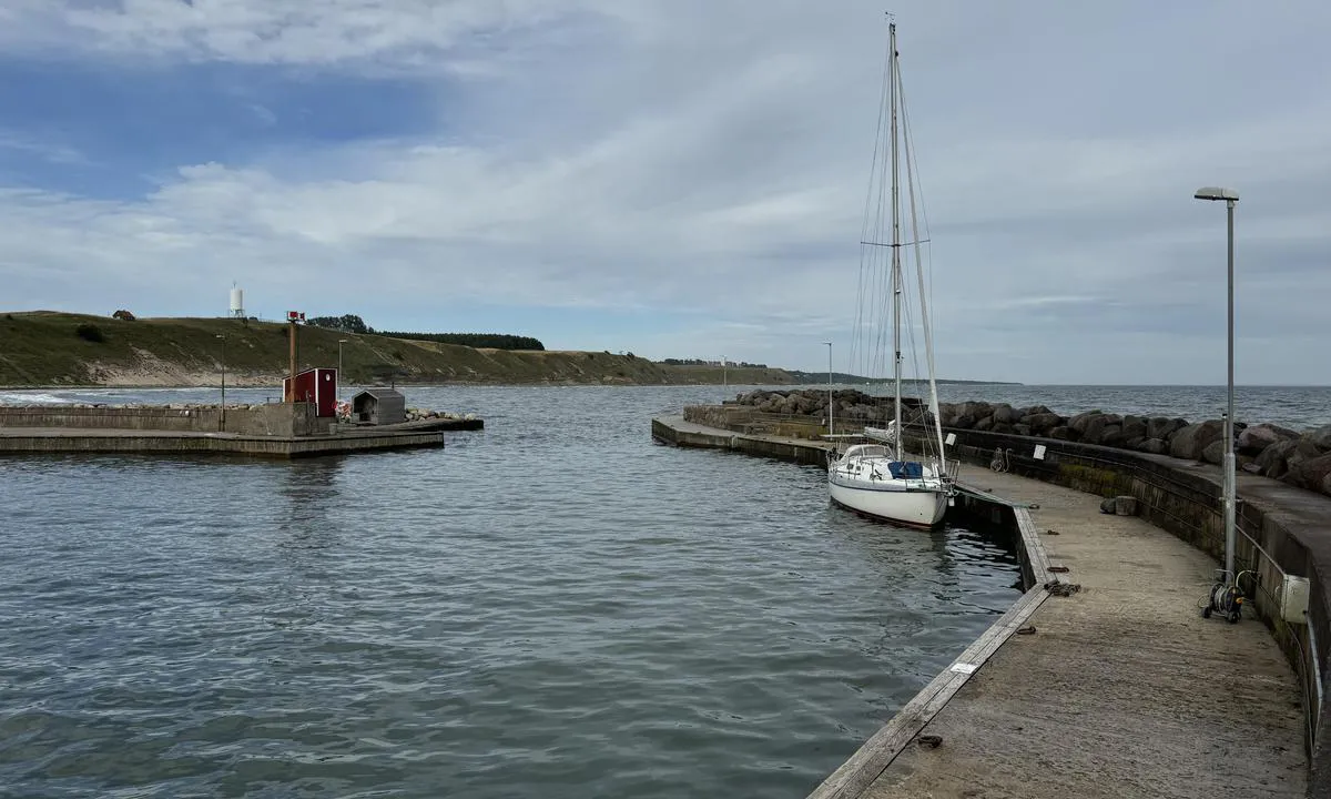
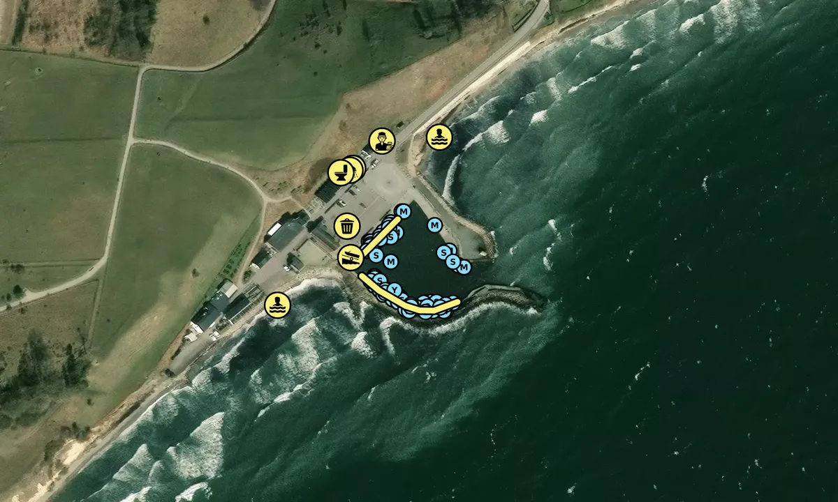
Mooring along the quay. Some swell / waves may enter. The area closest to the launching ramp should be avoided both because it is shallow and because water comes in through a channel from the outside.
Water and electricity on the piers.
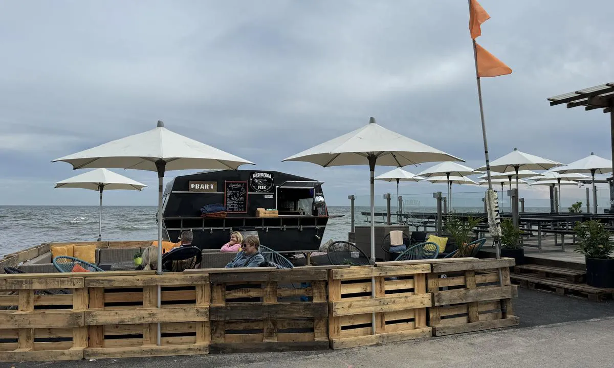
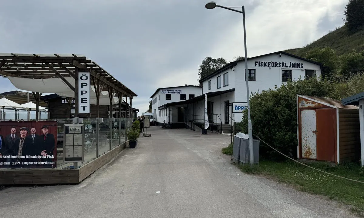
Vending machine (groceries) about 1 km away. Restaurants nearby.
[translated from Swedish with AI]

1 x helpful | written on 18. Jul 2026
ArOp says:
says:
area
maritime qualities
description
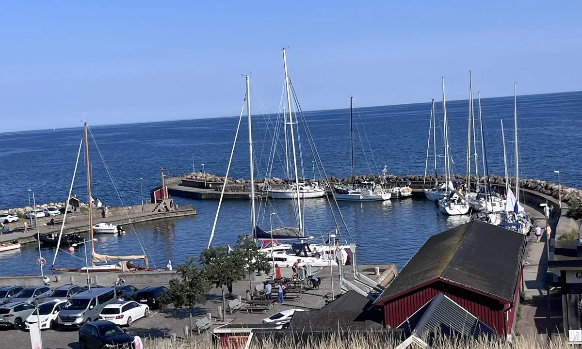
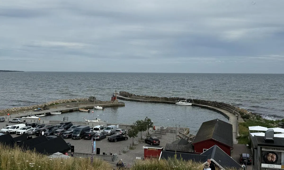
A small and intimate harbour with much activity during the summer. Ale's stones are a short walk away, and many car tourists visit the harbour to walk up to the stones from there. Several small cafés and ice cream parlors. Smokehouse with sales of both fresh and smoked fish.
Beautiful cultural landscape. Protected area. Rich birdlife. Great hiking trails along the hillside towards the sea. Expansive views.
Simple entrance, but narrow. Caution should be exercised in strong winds. Signs at the entrance warn of the danger of silting. It appears that the depth corresponds well with what is on the chart.
Significant swell in the harbour every time the ferries to Bornholm pass. It can be quite unpleasant here in heavy seas on the outside.
[translated from Norwegian with AI]
1 x helpful | written on 14. Jul 2026
Ignace Janssen says:
area
maritime qualities
description
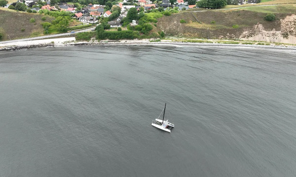
Entry of the harbor just too small for my 8.15m wide trimaran. So we had to fold it. Nice small harbor, boats alongside the wall.
1 x helpful | written on 13. Jul 2026
Jonas Axelsson says:
area
maritime qualities
description
Entry quite easy. Ok space to manoeuvre a 50 foot sail boat. Avoid during easterly winds as swell enters the harbour and creates nasty effects if you plan on staying on the boat.
1 x helpful | written on 25. Jun 2024
HarbourMaps (site admin) says:
description
Harbor Depth: 2.5 m
Guest Berths: 20
Berthing: anchor/alongside
[translated from Swedish with AI]
0 x helpful | written on 14. Jul 2022
Do you know this harbour? It's a huge help to other sailors if you add a short description or review of the harbour.
Map of Kåseberga Hamn

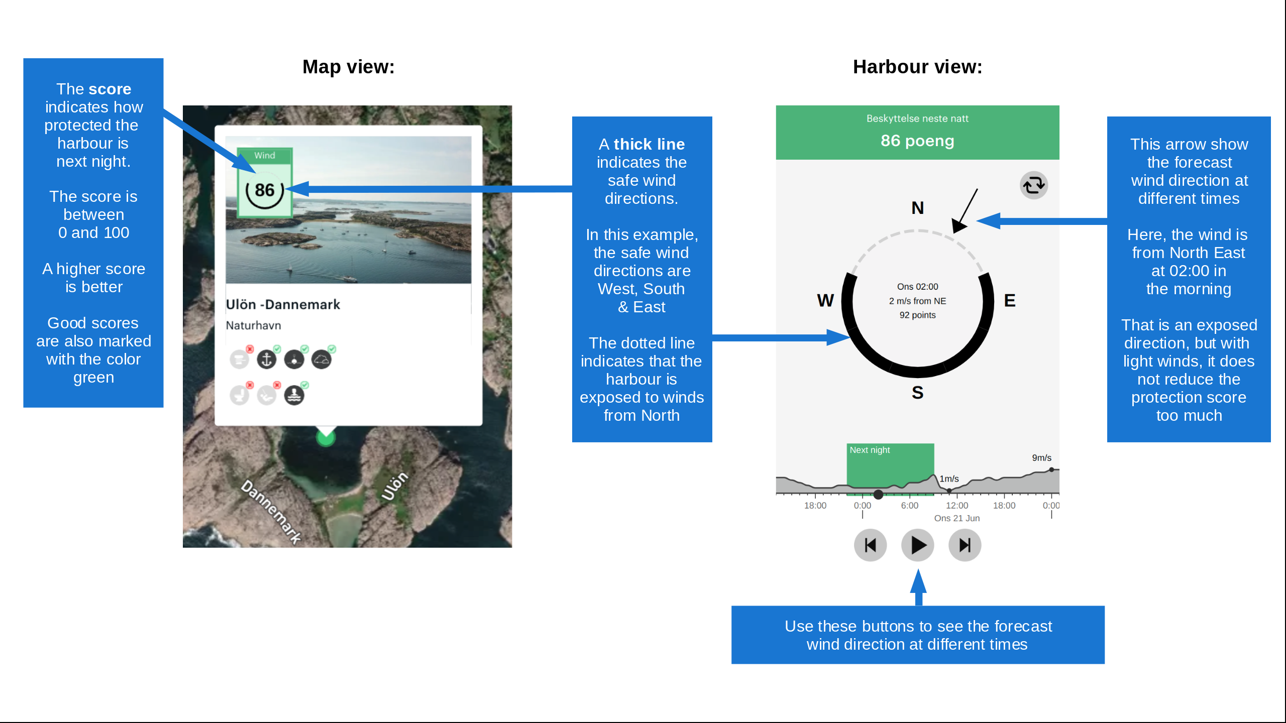
Wind protection
Protection next night
88 points



Want to know how the wind score works? Then you should read this explanation.
The wind forecasts come from yr.no (Norwegian Meteorological Institute), and was last updated 2 hours and 29 minutes ago (Saturday 03 October 02:33 PM). The next night score shows you the worst hour between 22:00 and 08:00 the next night. We recommend that you check multiple sources for wind forecasts. windy.com is a good website to show larger wind systems.

The safe wind directions for this harbour has been decided by an algorithm, based on how elevated the land around the harbour is. It's mostly correct, but sometimes the underlying data about elevation levels is not good enough to make correct decisions. It's a great help to other if you can validate or adjust the safe wind directions. You can see the data used by the algorithm to decide the safe wind directions by clicking here.
Last visits to Kåseberga Hamn
Sat 26 Sep 2026 |
|
|
Thu 13 Aug 2026 |
|
|
|
|
Tue 04 Aug 2026 |
|
|
Tue 21 Jul 2026 |
|
|
 FRIDEBORG [MMSI: 265526690]
 ELLEN VON JOMSBURG [MMSI: 211887150]
The visits are retrieved from AIS data. You can click to see all visiting ships to Kåseberga Hamn, as well as statistics about the ships that visits
Add this harbour to a journey
Choose a different date than today
Important: When you check in to a harbour, you add it to a journey on this website. You are not booking a place in the marina.
Contributors
Users that contributed to this page: Arjen Weber, Ignace Janssen, Olav Pekeberg and Steinar Nilsen
harbourmaps.com is updated by the boating community. When you add information, a review or pictures to this page you are listed here with the other contributors (we list your user-name, which can be your real name or a pseudonym).
Closest harbours to Kåseberga Hamn
Filter by
Order by
0 harbours
Show more harbours