


Kommersøya Nord
Natural harbour

Region: Norway (3464), Vestfold og Telemark (229), Vestfold (182), Holmestrand (10) and Sande i Vestfold (6)

 , uploaded on 21. Jun 2025


Descriptions and reviews
Suse / SY Ronja says:
says:
area

maritime qualities
description
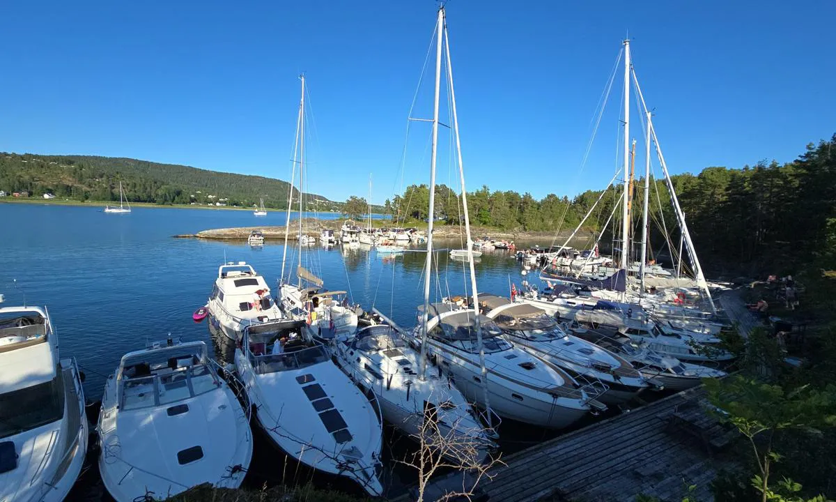
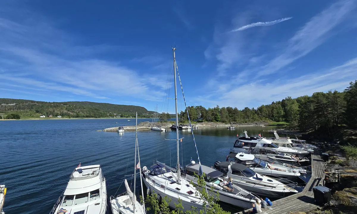
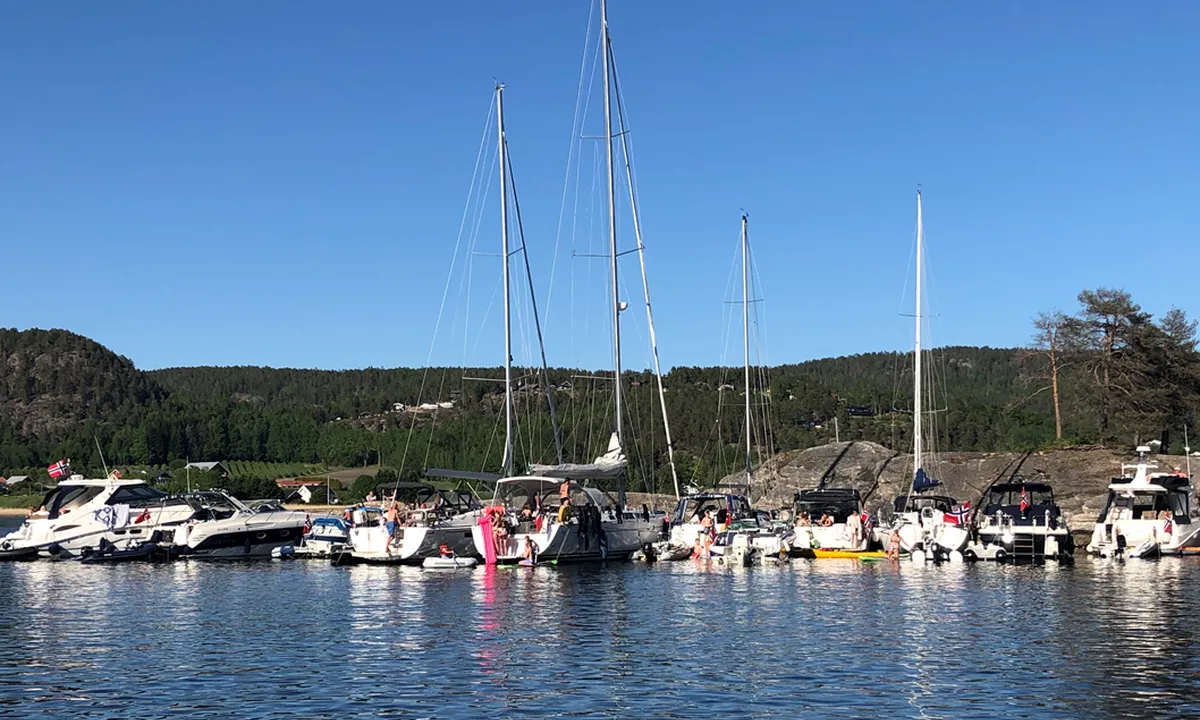
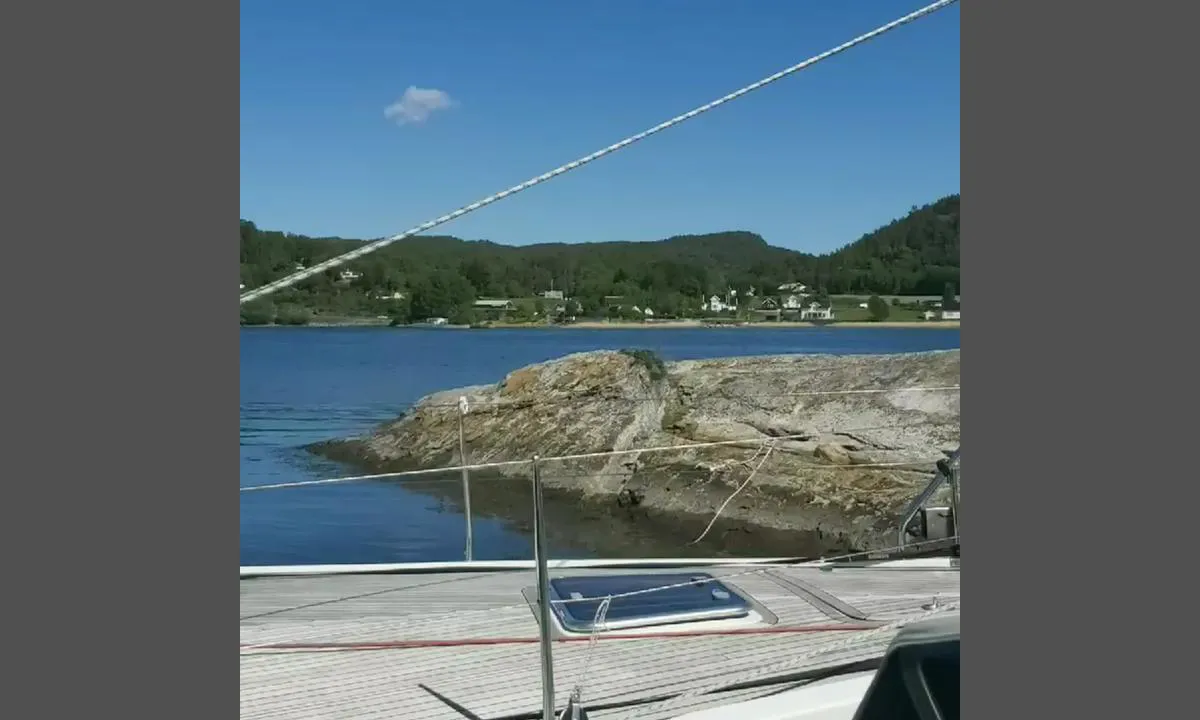
You moor with an anchor and ropes ashore. No alongside mooring, as it gets crowded here on fair-weather days.
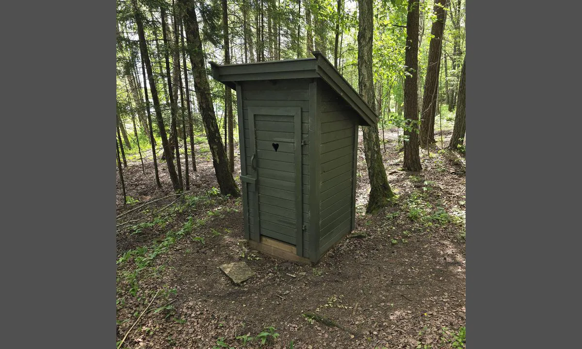
There are good camping opportunities on the island, and several grills and tables/benches are placed around.
[translated from Norwegian with AI]

1 x helpful | written on 22. Jun 2025
André M.H says:
description
Entry and Maritime Conditions: Located near Holmestrand, where there are restaurants, shops, water, and diesel/gasoline available.
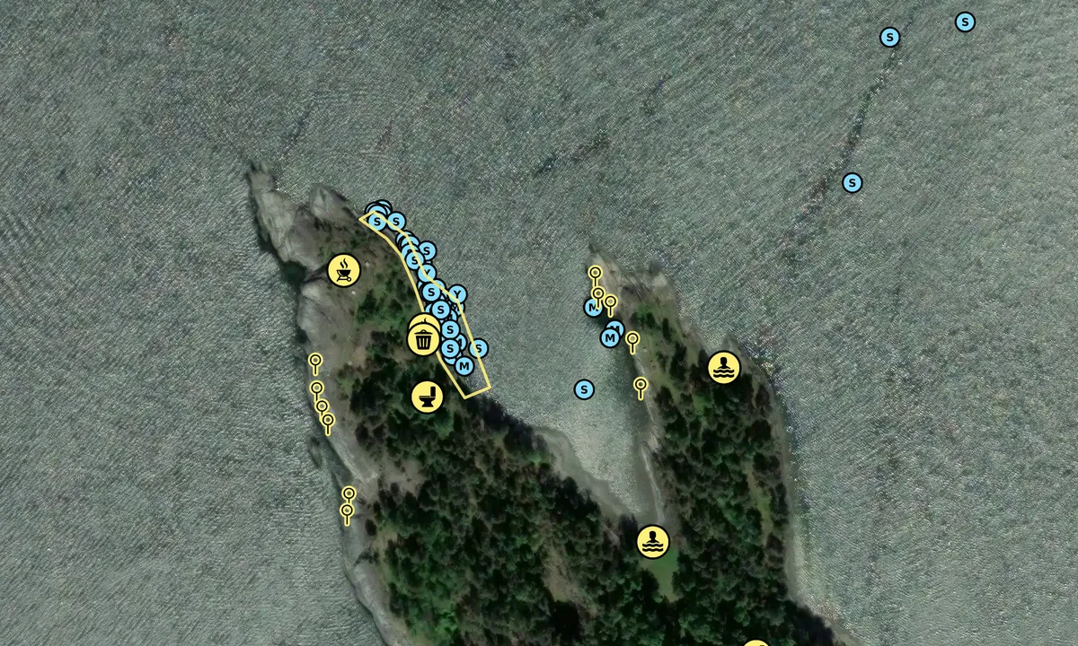
Anchoring: Fantebukta is a great natural harbor. Ideal for both adults and children. There are docks and rocks. Good holding ground. Beach for children, shallow at the innermost part. Good hiking areas.
The Area: Good shelter from the wind. Slightly exposed to northerly winds. Opportunities for mooring on both sides of the bay, docks on the west side and cliffs to the east, sailing boats are recommended to moor from the middle and outwards on the cliff side due to the depth.
[translated from Norwegian with AI]
1 x helpful | written on 10. Jun 2021
Do you know this harbour? It's a huge help to other sailors if you add a short description or review of the harbour.
Map of Kommersøya Nord

Wind protection
Protection next night
95 points


Want to know how the wind score works? Then you should read this explanation.
The wind forecasts come from yr.no (Norwegian Meteorological Institute), and was last updated 2 hours and 7 minutes ago (Thursday 18 June 10:28 AM). The next night score shows you the worst hour between 22:00 and 08:00 the next night. We recommend that you check multiple sources for wind forecasts. windy.com is a good website to show larger wind systems.
The safe directions for this harbour was added at 10. Jun 2021. Click here to edit.
Last visits to Kommersøya Nord
Fri 05 Jun 2026 |
|
|
|
|
Sat 30 May 2026 |
|
|
|
|
Fri 29 May 2026 |
|
|
 FAIR HAVEN [MMSI: 258212440]
 PERIFERIEN [MMSI: 259042870]
The visits are retrieved from AIS data. You can click to see all visiting ships to Kommersøya Nord, as well as statistics about the ships that visits
Add this harbour to a journey
Choose a different date than today
Important: When you check in to a harbour, you add it to a journey on this website. You are not booking a place in the marina.
Contributors
Users that contributed to this page: Kj3til, Olav Pekeberg, Harald Helgheim and André M.H
harbourmaps.com is updated by the boating community. When you add information, a review or pictures to this page you are listed here with the other contributors (we list your user-name, which can be your real name or a pseudonym).
Closest harbours to Kommersøya Nord
Filter by
Order by
0 harbours
Show more harbours
