


Kråkøybukta
Natural harbour

Region: Norway (3487), Trøndelag (307), Nord-Trøndelag (129), Nærøysund (37) and Lyngsnes (4)


Descriptions and reviews
Olav Pekeberg
 says:
says:
area


maritime qualities
description
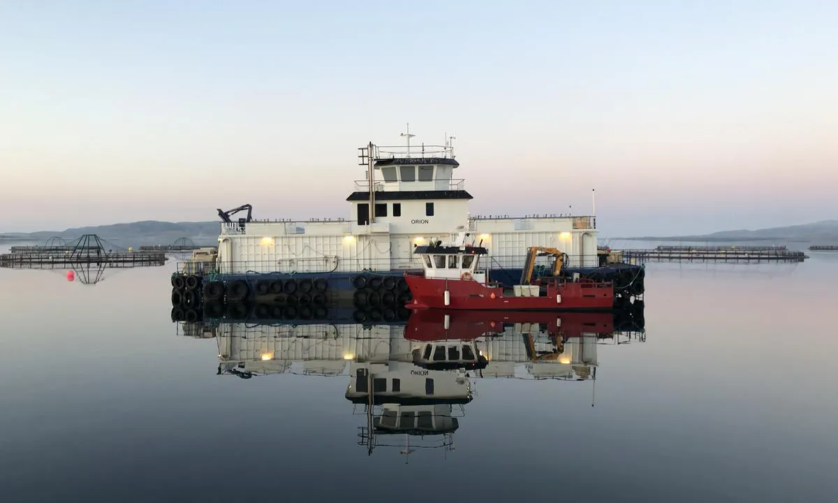
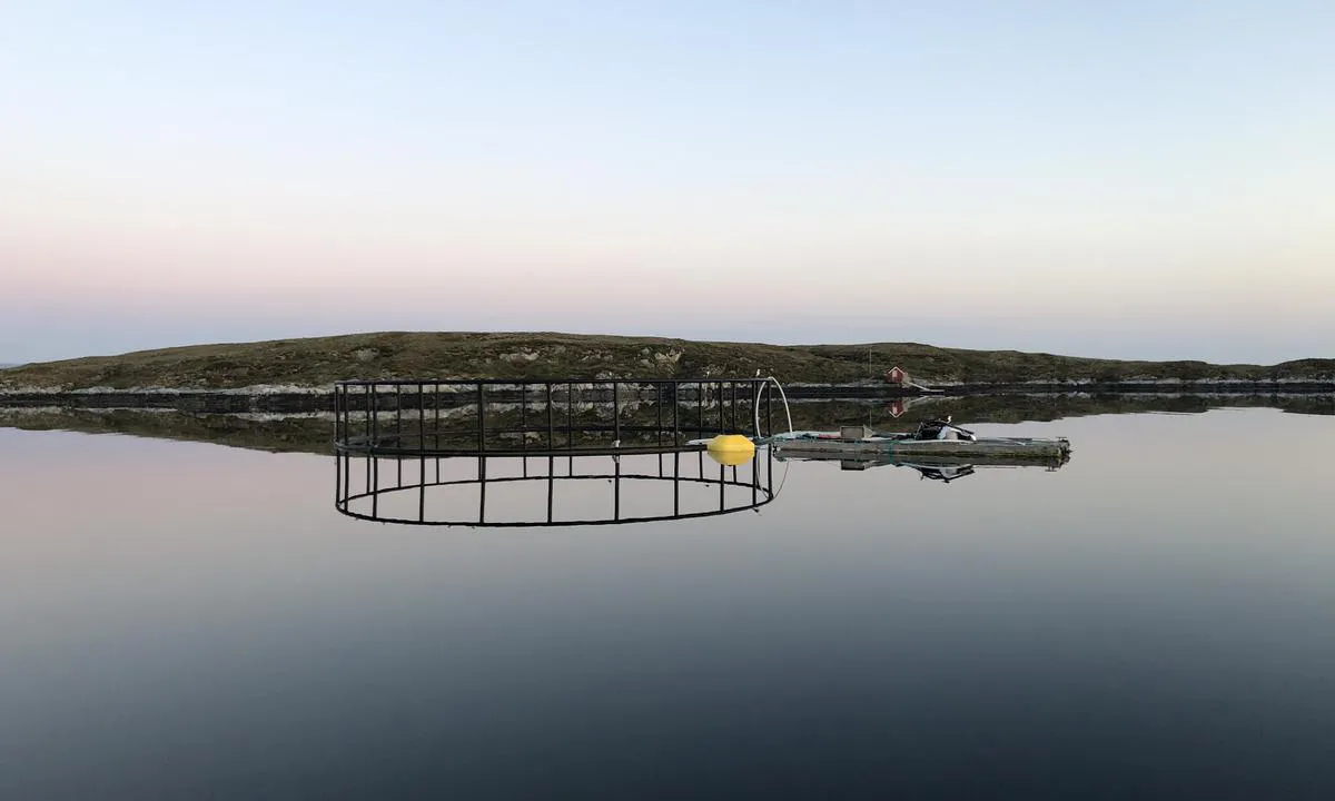
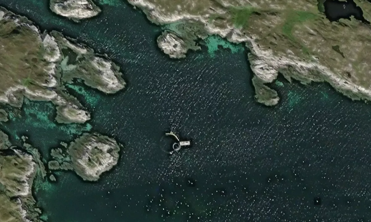
Anchoring: The bay is marked with an anchor in the nautical chart, but it is not good for anchoring. The bottom is uneven and it is easy to get stuck on rocks. There is also a lot of aquaculture that occupies the area. Aside from these two problems, it is a beautiful place.
[translated from Norwegian with AI]

0 x helpful | written on 6. Jun 2021 | updated_on 7. Jul 2022
Do you know this harbour? It's a huge help to other sailors if you add a short description or review of the harbour.
Map of Kråkøybukta

Wind protection
Protection next night
87 points


Want to know how the wind score works? Then you should read this explanation.
The wind forecasts come from yr.no (Norwegian Meteorological Institute), and was last updated 1 hour and 48 minutes ago (Friday 17 July 01:28 AM). The next night score shows you the worst hour between 22:00 and 08:00 the next night. We recommend that you check multiple sources for wind forecasts. windy.com is a good website to show larger wind systems.
The safe directions for this harbour was added at 6. Jun 2021. Click here to edit.

Kråkøybukta and/or the surrounding seas is not well protected from strong winds and waves, and you should take caution in foul weather. Click to edit protection level.
Last visits to Kråkøybukta
The visits are retrieved from AIS data. You can click to see all visiting ships to Kråkøybukta, as well as statistics about the ships that visits
Add this harbour to a journey
Choose a different date than today
Important: When you check in to a harbour, you add it to a journey on this website. You are not booking a place in the marina.
Contributors
Users that contributed to this page: Olav Pekeberg
harbourmaps.com is updated by the boating community. When you add information, a review or pictures to this page you are listed here with the other contributors (we list your user-name, which can be your real name or a pseudonym).
Closest harbours to Kråkøybukta
Filter by
Order by
0 harbours
Show more harbours
