


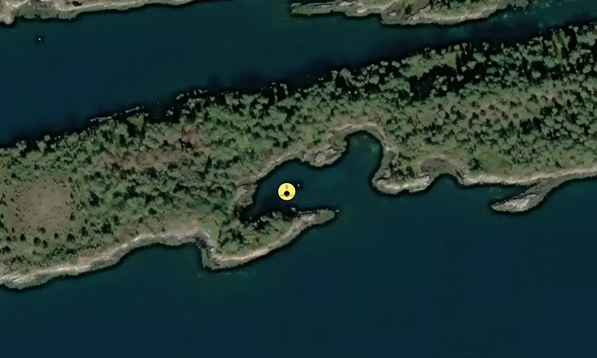
Langøya ved Taftasundet
Natural harbour

Region: Norway (3487), Møre og Romsdal (309), Ålesund (51), Skodje (11) and Taftasundet (4)


Descriptions and reviews
PILA på tur
 says:
says:
area


maritime qualities
description
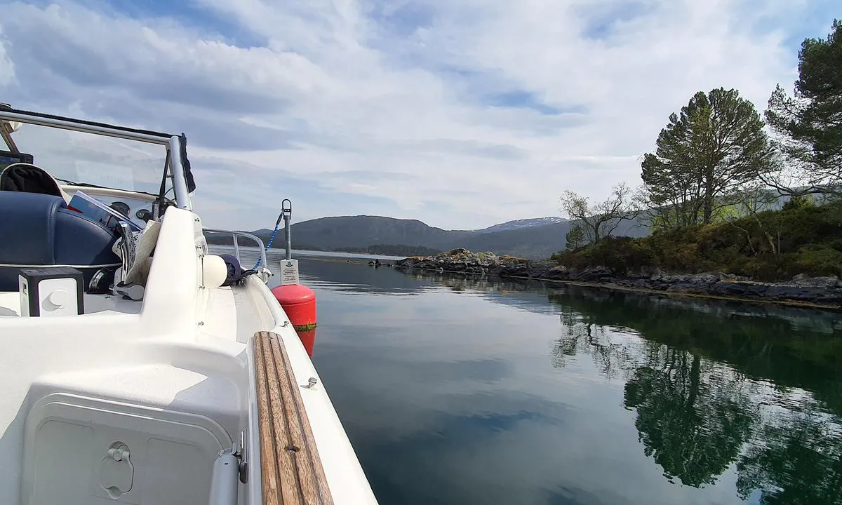
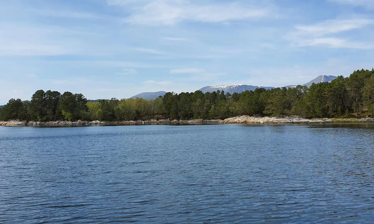
It is KNBF that has set out the buoy, and unfortunately, these no longer receive any follow-up, so you must keep a close watch yourself! This lagoon on the south side of Langøya is known as 'Lille Mallorca'. Beautiful area, there are both sailboats and motorboats inside the lagoon. Several people anchor to the northeast with an anchor out and a line to the shore. Plenty of blueberries on the island.
[translated from Norwegian with AI]

1 x helpful | written on 12. May 2024 | updated_on 14. May 2024
Jostein Navelsaker says:
area
maritime qualities
description
Mooring to buoy. (KNBF) Tight, should use stern anchor. Sheltered harbor with wind from north and west. Minimum depth 2m (marked green on Navionics charts but this is not accurate). No other facilities.
[translated from Norwegian with AI]
1 x helpful | written on 12. Jul 2022
Do you know this harbour? It's a huge help to other sailors if you add a short description or review of the harbour.
Map of Langøya ved Taftasundet

Wind protection
Protection next night
85 points


Want to know how the wind score works? Then you should read this explanation.
The wind forecasts come from yr.no (Norwegian Meteorological Institute), and was last updated 2 hours and 23 minutes ago (Monday 06 July 07:29 AM). The next night score shows you the worst hour between 22:00 and 08:00 the next night. We recommend that you check multiple sources for wind forecasts. windy.com is a good website to show larger wind systems.
The safe directions for this harbour was added at 13. Jul 2021. Click here to edit.
Last visits to Langøya ved Taftasundet
The visits are retrieved from AIS data. You can click to see all visiting ships to Langøya ved Taftasundet, as well as statistics about the ships that visits
Add this harbour to a journey
Choose a different date than today
Important: When you check in to a harbour, you add it to a journey on this website. You are not booking a place in the marina.
Contributors
Users that contributed to this page: PILA på tur and Olav Pekeberg
harbourmaps.com is updated by the boating community. When you add information, a review or pictures to this page you are listed here with the other contributors (we list your user-name, which can be your real name or a pseudonym).
Closest harbours to Langøya ved Taftasundet
Filter by
Order by
0 harbours
Show more harbours
