Maløyene

Natural harbour

favoritt

Region: Norway (3219), Agder (249), Aust-Agder (134) and Grimstad (23)

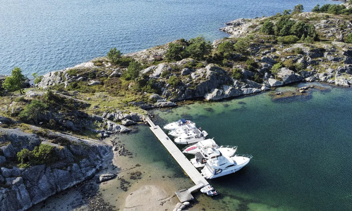
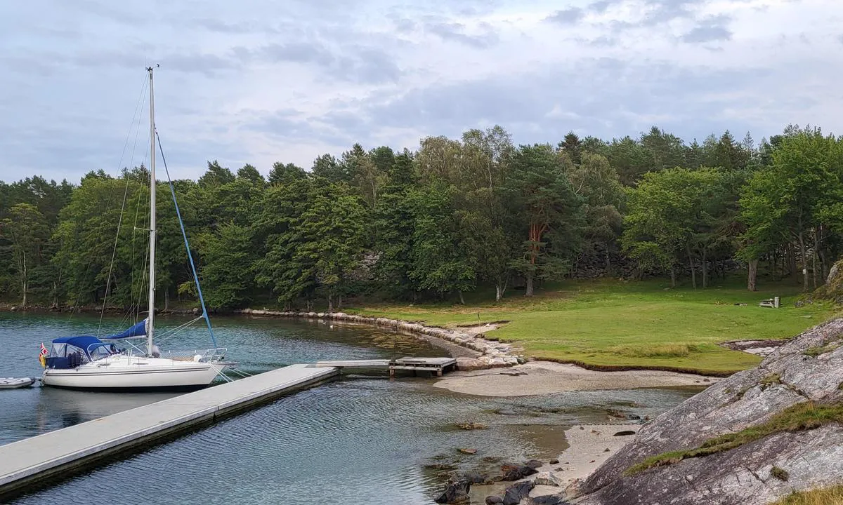
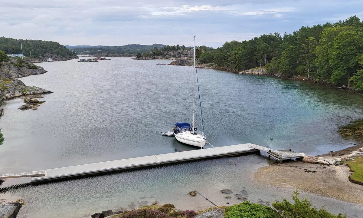
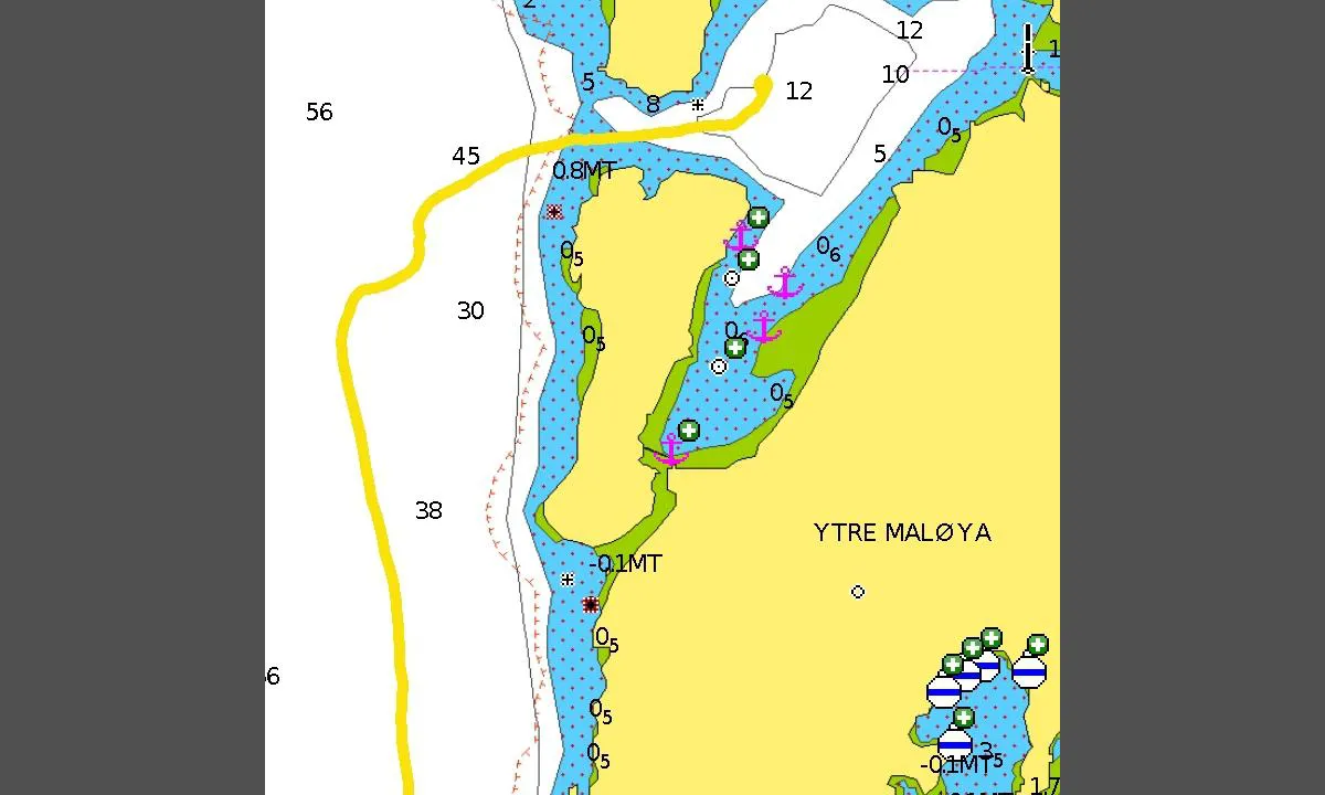
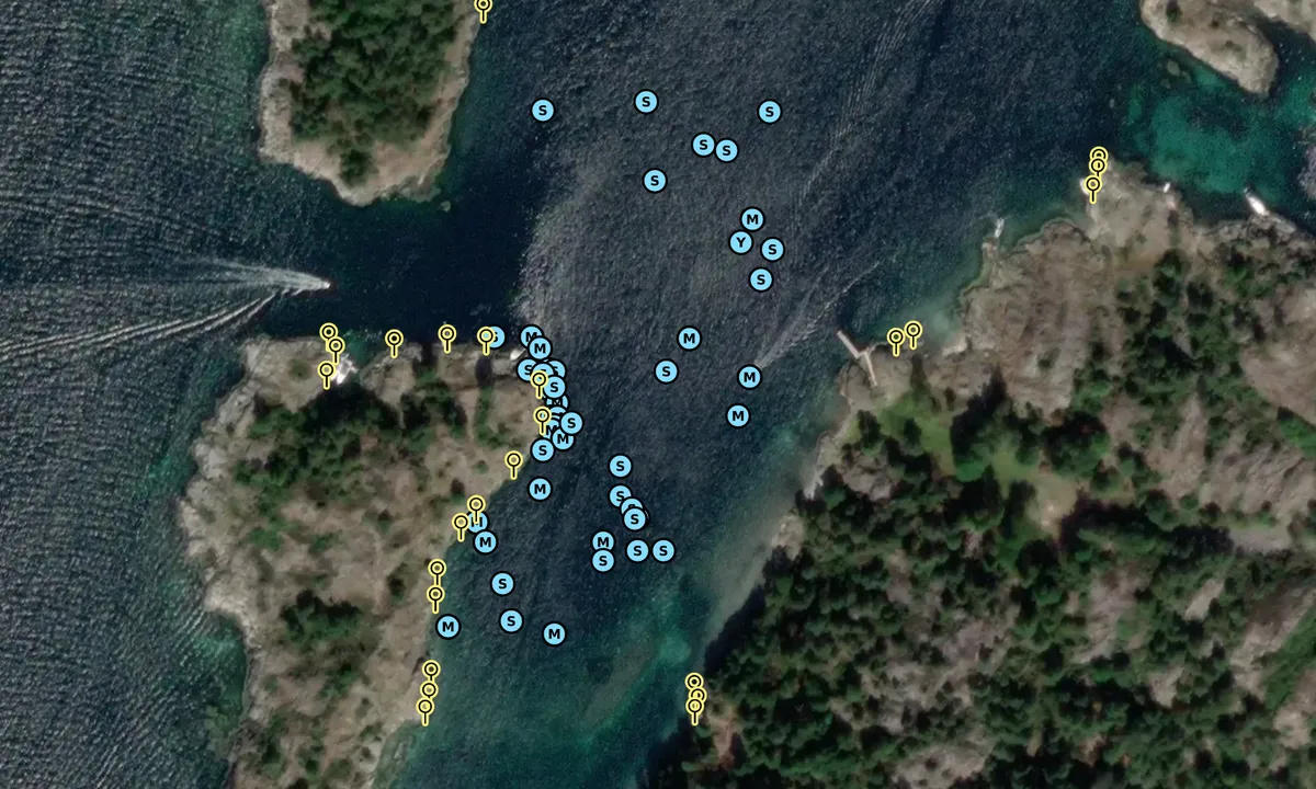
Maløyene: Betongflytebrygge innerst i bukta. Ca 3,5 meter dybde innerst. Hold styrbord side inn for å unngå grunna som ligger midt i bukta.
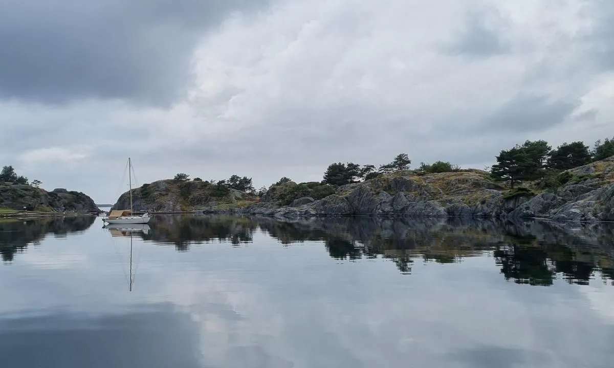
Maløyene: {"base": "no", "no": "Den sydlige bukta mot Yttre Mal\u00f8ya. Noen muligheter for longside mot berget i vest hvis du har store fendere.", "se": "Den s\u00f6dra bukten mot Yttre Mal\u00f8ya. N\u00e5gra m\u00f6jligheter f\u00f6r l\u00e5ngsides mot berget i v\u00e4st om du har stora fendrar.", "en": "The southern bay towards Yttre Mal\u00f8ya. Some possibilities for alongside mooring against the rock in the west if you have large fenders.", "da": "Den sydlige bugt mod Yttre Mal\u00f8ya. Nogle muligheder for langside mod klippen i vest, hvis du har store fendere."}
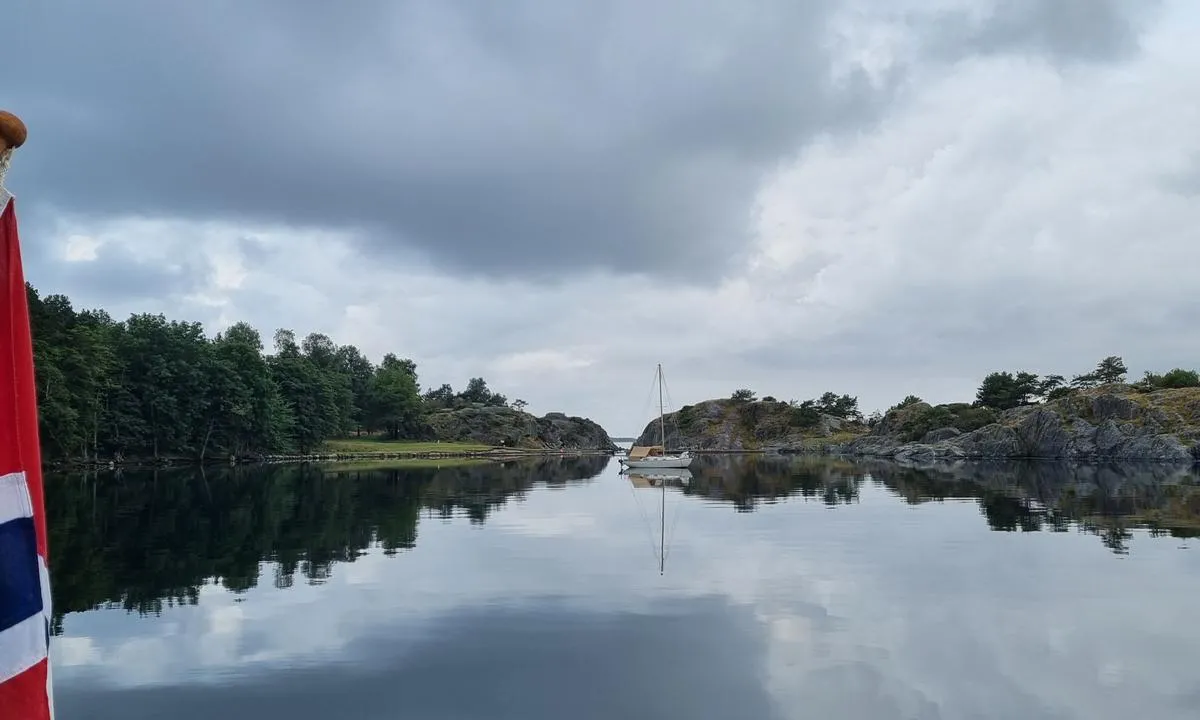
Maløyene: {"base": "no", "no": "Brygga innerst i bukta mot Yttre Mal\u00f8ya er flott. Sj\u00f8kartet frister ikke til \u00e5 g\u00e5 helt inn. N\u00e5r du g\u00e5r innover/sydover bukta er det en sandbanke som strekker seg p\u00e5 tvers av bukta ca ved den lille odden som stikker ut p\u00e5 h\u00f8yre/vest. Hvis du holder til h\u00f8yre/vest ca 10-15 meter ut fra odden p\u00e5 h\u00f8yre vil du finne 1,9 meters dybde p\u00e5 vanlig lavvann (0,5 m over sj\u00f8kartnull). Myk sand med enkelte sm\u00e5 steiner hvis du skulle komme ned i bunnen. Ingen garantier for at ikke denne sandbanken endrer seg og at det ikke er ukjente steiner i sanden. Vel forbi sandbanken et det 3-4 meter i bassenget foran brygga.", "se": "Bryggan l\u00e4ngst in i bukten mot Yttre Mal\u00f8ya \u00e4r fin. Sj\u00f6kortet lockar inte till att g\u00e5 hela v\u00e4gen in. N\u00e4r du g\u00e5r in\u00e5t/s\u00f6derut i bukten finns det en sandbank som str\u00e4cker sig tv\u00e4rs \u00f6ver bukten ungef\u00e4r vid den lilla udden som sticker ut p\u00e5 h\u00f6ger/v\u00e4st. Om du h\u00e5ller till h\u00f6ger/v\u00e4st cirka 10-15 meter ut fr\u00e5n udden p\u00e5 h\u00f6ger sida kommer du att finna 1,9 meters djup vid vanligt l\u00e5gvatten (0,5 m \u00f6ver sj\u00f6kartnoll). Mjuk sand med enstaka sm\u00e5 stenar om du skulle komma ner till bottnen. Inga garantier f\u00f6r att denna sandbank inte f\u00f6r\u00e4ndras och att det inte finns ok\u00e4nda stenar i sanden. V\u00e4l f\u00f6rbi sandbanken \u00e4r det 3-4 meter i bass\u00e4ngen framf\u00f6r bryggan.", "en": "The pier at the innermost part of the bay towards Yttre Mal\u00f8ya is great. The nautical chart does not encourage going all the way in. As you go inward/southward into the bay, there is a sandbar stretching across the bay approximately at the small point protruding on the right/west. If you stay to the right/west about 10-15 meters out from the point on the right, you will find a depth of 1.9 meters at normal low tide (0.5 meters above chart datum). Soft sand with occasional small stones if you come down to the bottom. No guarantees that this sandbar doesn't shift or that there aren't unknown stones in the sand. Well past the sandbar, it\u2019s 3-4 meters deep in the basin in front of the pier.", "da": "Bryggen inderst i bugten mod Ydre Mal\u00f8ya er flot. S\u00f8kortet frister ikke til at g\u00e5 helt ind. N\u00e5r du g\u00e5r indad/sydover bugten, er der en sandbanke, der str\u00e6kker sig p\u00e5 tv\u00e6rs af bugten ca. ved den lille odde, som stikker ud p\u00e5 h\u00f8jre/vest. Hvis du holder til h\u00f8jre/vest ca. 10-15 meter ud fra odden p\u00e5 h\u00f8jre, vil du finde 1,9 meters dybde ved normalt lavvande (0,5 m over s\u00f8kortnull). Bl\u00f8d sand med enkelte sm\u00e5 sten, hvis du skulle komme ned til bunden. Ingen garantier for at denne sandbanke ikke \u00e6ndrer sig, og at der ikke er ukendte sten i sanden. Vel forbi sandbanken er der 3-4 meter i bassinet foran bryggen."}
Maløyene: {"base": "no", "no": "Bukta syd mot Yttre Mal\u00f8ya. Godt med svaiplass, og bolter for nose inn p\u00e5 berget i vest. Mulig med store fendere \u00e5 finne longside mulighetet", "se": "Bukten s\u00f6der mot Yttre Mal\u00f8ya. Bra med sv\u00e4ngrum, och bultar f\u00f6r att l\u00e4gga f\u00f6ren mot berget i v\u00e4ster. M\u00f6jligt att med stora fendrar hitta l\u00e5ngsida m\u00f6jligheter", "en": "The bay to the south towards Yttre Mal\u00f8ya. Plenty of swinging room, and bolts for mooring bow-to on the rock to the west. Possible to find alongside opportunities with large fenders.", "da": "Bugten syd mod Ydre Mal\u00f8ya. Godt med svajplads, og bolte for at l\u00e6gge n\u00e6sen ind mod bjerget mod vest. Muligt med store fendere at finde longside mulighed"}
Maløyene
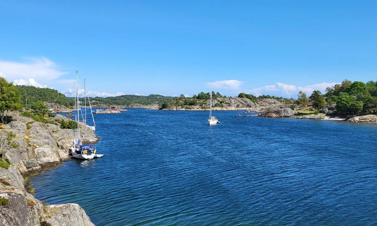
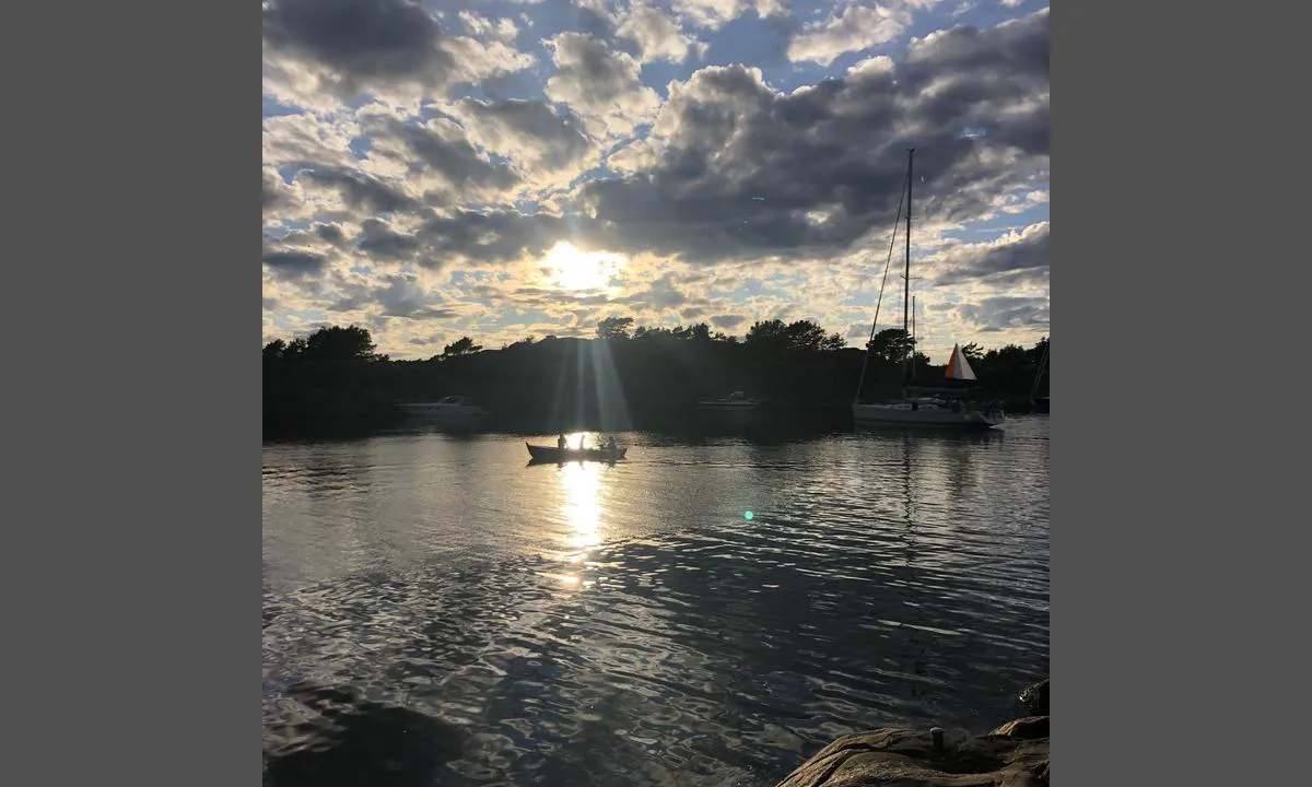
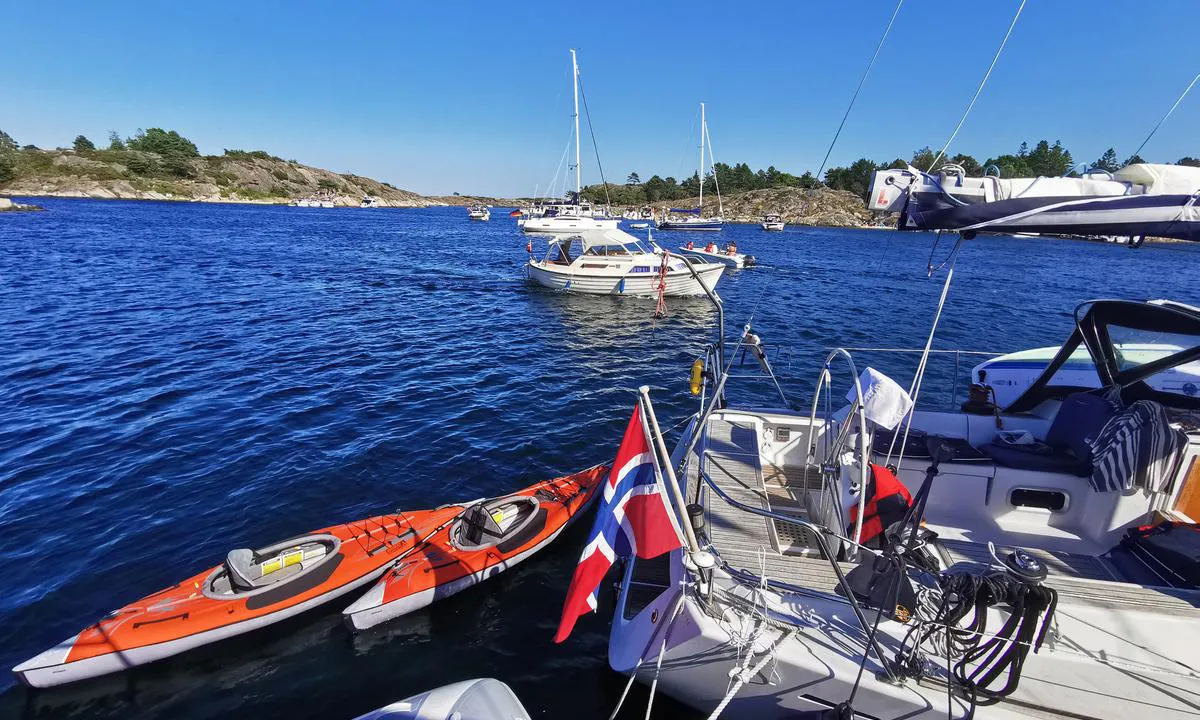
Maløyene: {"base": "no", "no": "Masse svaiplass, masse plass ved fort\u00f8yning mot land.", "se": "Massor av sv\u00e4ngrum, massor av plats vid f\u00f6rt\u00f6jning mot land.", "en": "Plenty of swinging room, plenty of space for mooring against the land.", "da": "Masser af svingplads, masser af plads ved fort\u00f8jning mod land."}
Maløyene: {"base": "no", "no": "Trygg innseiling fra vest ogs\u00e5 for dyptg\u00e5ende b\u00e5ter. Hit g\u00e5r badeb\u00e5ten fra Grimstad flere ganger daglig. Kort jolletur til Grimstad. Flott padleterreng og badeplasser fra land. Ogs\u00e5 mulighet for telting.", "se": "Trygg insegling fr\u00e5n v\u00e4st \u00e4ven f\u00f6r djupg\u00e5ende b\u00e5tar. Hit g\u00e5r badb\u00e5ten fr\u00e5n Grimstad flera g\u00e5nger dagligen. Kort jolleutflykt till Grimstad. Fantastiskt paddelomr\u00e5de och badplatser fr\u00e5n land. \u00c4ven m\u00f6jlighet f\u00f6r t\u00e4ltning.", "en": "Safe entry from the west, even for deep-draft boats. The bathing boat from Grimstad comes here several times daily. Short dinghy trip to Grimstad. Great paddling area and swimming spots from shore. Also possible to camp.", "da": "Tryg indsejling fra vest ogs\u00e5 for dybtg\u00e5ende b\u00e5de. Badeb\u00e5den fra Grimstad g\u00e5r hertil flere gange dagligt. Kort jolletr\u00e6k til Grimstad. Flot padleterr\u00e6n og badepladser fra land. Ogs\u00e5 mulighed for teltning."}
Maløyene
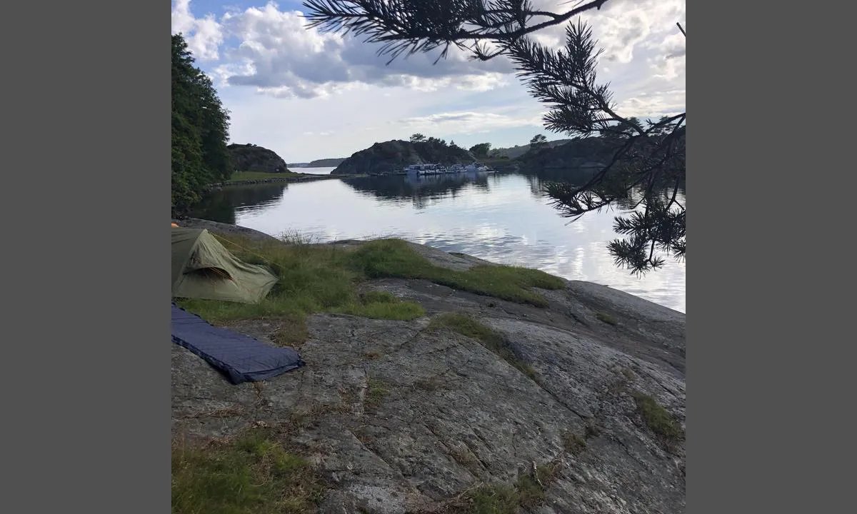
Maløyene: {"base": "no", "no": "Her er det ogs\u00e5 flere bolter i fjell. Fin hylle med plass til flere telt.", "se": "H\u00e4r finns det ocks\u00e5 flera bultar i berget. Fin hylla med plats f\u00f6r flera t\u00e4lt.", "en": "Here there are also several bolts in the rock. Nice shelf with space for several tents.", "da": "Her er der ogs\u00e5 flere bolte i fjeld. Fin hylde med plads til flere telte."}
Maløyene: {"base": "no", "no": "Flott utsiktsplass med den aller siste kveldssolen. :-)", "se": "Fantastisk utsiktsplats med den allra sista kv\u00e4llssolen. :-)", "en": "Great vantage point with the very last evening sun. :-)", "da": "Flot udsigtsplads med den allersidste aftensol. :-)"}
Flyfoto av Maløyene stor svsiplass

📸 Upload a photo

Show off your photos and help others plan their journey to Maløyene.harbourmaps.com is created by the sailing community, in a collective effort to make cruising simpler and more fun. Uploading a photo takes less than a minutes and can be done from your phone, tablet or laptop.

📸 Upload a photo

Facilities

Available facilities: Playground, Swimming area.

Updated on 17. Jul 2021. Update facilities.

Mooring

Options for mooring in this harbour: Anchoring, Towards land.

Updated on 17. Jul 2021. Update mooring.

Descriptions and reviews

Per Mandt i Oda says:

description

Approach and maritime conditions: Fantastic place. In the area, there are certainly 20-30 anchorage spots and many places to moor to land.
Safest approach for sailboats is from the west.
The Area: Fire pits, camping spots on land. The bathing boat from Grimstad goes here. Many small coves with sandy beaches.

[translated from Norwegian with AI]

1 x helpful | written on 17. Jul 2021

Do you know this harbour? It's a huge help to other sailors if you add a short description or review of the harbour.

📜 Add description

Map of Maløyene

Facilities

Available facilities: Playground, Swimming area.

Updated on 17. Jul 2021. Update facilities.

Mooring

Options for mooring in this harbour: Anchoring, Towards land.

Updated on 17. Jul 2021. Update mooring.

Wind protection

Protection next night

94 points

N E S W --> } } } } } } } } } } } } } } } } } } } } } } } } } } } } } } } } } } } } } } } } } } } } } } } } } } } } } } } } } } } } } } } } } } } } } } } } } } } } } } } } } } } } } } } } } } } } } } } } } } } } } } } } } } } } } } } } } } } } } } } } } } } } } } } } } } } } } } } } } } } } } } } } } } } } } } } } } } } } } } } } } } } } } } } } } } } } } } } } } } } } } } } } } } } } } } } } } } } } } } } } } } } } } } } } } } } } } } } } } } } } } } } } } } } } } } } } } } } } } } } } } } } } } } } } } } } } } } } } } } } } } } } } } } } } } } } } } } } } } } } } } } } } } } } } } } } } } } } } } } } } } } } } } } } } } } } } } } } } } } } } } } } } } } } } } } } } } } } } } } } } } } } } } } } } } } } } } } } } } } } } } } } } } } } } } } } } } } } } } } } } } } } } } } } } } } } } } } } } } } } } } } } } } } } } } } } } } } } } } } } } } } } } } } } } } } } } } } } } } } } } } } } } } } } } } } } } } } } } } } } } } } } } } } } } } } } } } } } } } } } } } } } } } } } } } } } } } } } } } } } } } } } } } } } } } } } } } } } } } } } } } } } } } } } } } } } } } } } } } } } } } } } } } } } } } } } } } } } } } } } } } } } } } } } } } } } } } } } } } } } } } } } } } } } } } } } } } } } } } } } } } } } } } } } } } } } } } } } } } } } } } } } } } } } } } } } } } } } } } } } } } } } } } } } } } } } } } } } } } } } } } } } } } } } } } } } } } } } } } } } } } } } } } } } } } } } } } } } } } } } } } } } } } } } } } } } } } } } } } } } } } } } } } } } } } } } } } } } } } } } } } } } } } } } } } } } } } } } } } } } } } } } } } } } } } } } } } } } } } } } } } } } } } } } } } } } } } } } } } } } } } } } } } } } } } } } } } } } } } } } } } } } } } } } } } } } } } } } } } } } } } } } } } } } } } } } } } } } } } } } } } } } } } } } } } } } } } } } } } } } } } } } } } } } } } } } } } } } } } } } } } } } } } } } } } } } } } } } } } } } } } } } } } } } } } } } } } } } } } } } } } } } } } } } } } } } } } } } } } } } } } } } } } } } } } } } } } } } } } } } } Next night 6:00 12:00 Lør 14 Sep 18:00 0:00 6:00 12:00 Søn 15 Sep 6m/s 1m/s

Want to know how the wind score works? Then you should read this explanation.

The wind forecasts come from yr.no (Norwegian Meteorological Institute), and was last updated 2 hours and 6 minutes ago (Saturday 14 September 12:27 AM). The next night score shows you the worst hour between 22:00 and 08:00 the next night. We recommend that you check multiple sources for wind forecasts. windy.com is a good website to show larger wind systems.

The safe directions for this harbour was added at 17. Jul 2021. Click here to edit.

Last visits to Maløyene

Sun 04 Aug 2024

TRIOLA [MMSI: 257844090]

Wed 31 Jul 2024

SMAK AV HONNING [MMSI: 258155530]

Fri 26 Jul 2024

SABANHOI [MMSI: 258114830]

ZOT VAN ZEE [MMSI: 244070841]

Thu 25 Jul 2024

PETER VON SEESTERMUE [MMSI: 211222860]

The visits are retrieved from AIS data. You can click to see all visiting ships to Maløyene, as well as statistics about the ships that visits

Add this harbour to a journey

Check in now

Choose a different date than today

Important: When you check in to a harbour, you add it to a journey on this website. You are not booking a place in the marina.

Contributors

Users that contributed to this page: Snorre Smith, Kathinka Moxnes, Dan Mossmann, Per Mandt i Oda and ©norgeskart.no

harbourmaps.com is updated by the boating community. When you add information, a review or pictures to this page you are listed here with the other contributors (we list your user-name, which can be your real name or a pseudonym).

Closest harbours to Maløyene
Filter by

Natural harbour
Marina
Safe wind next night

Order by

ABC
Popularity
Wind score next night

0 harbours
Show more harbours