


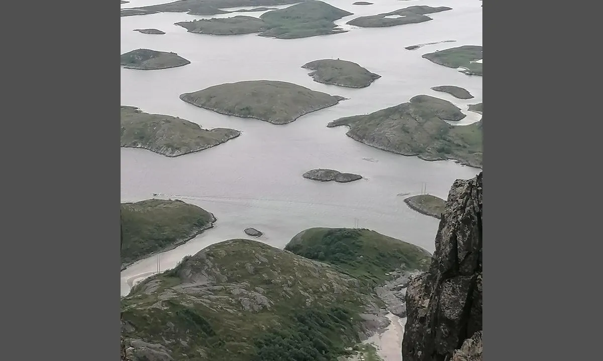
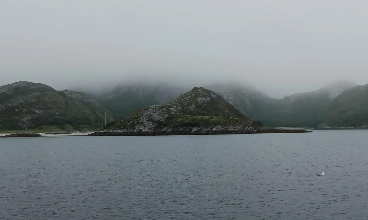
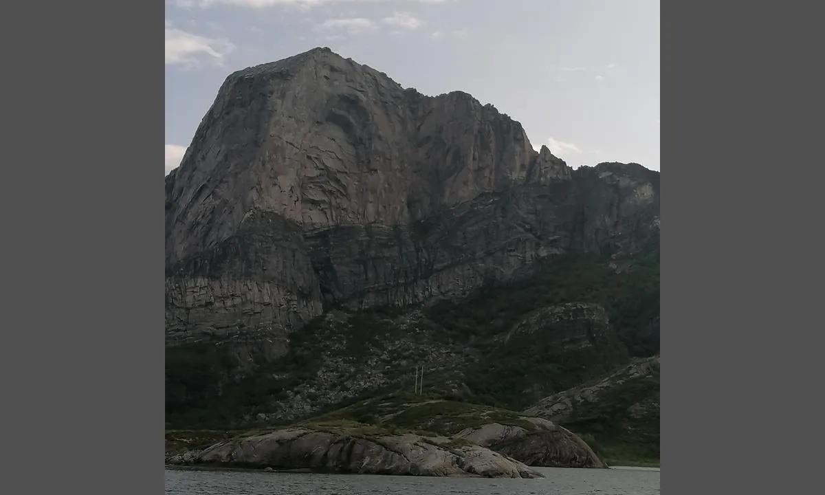
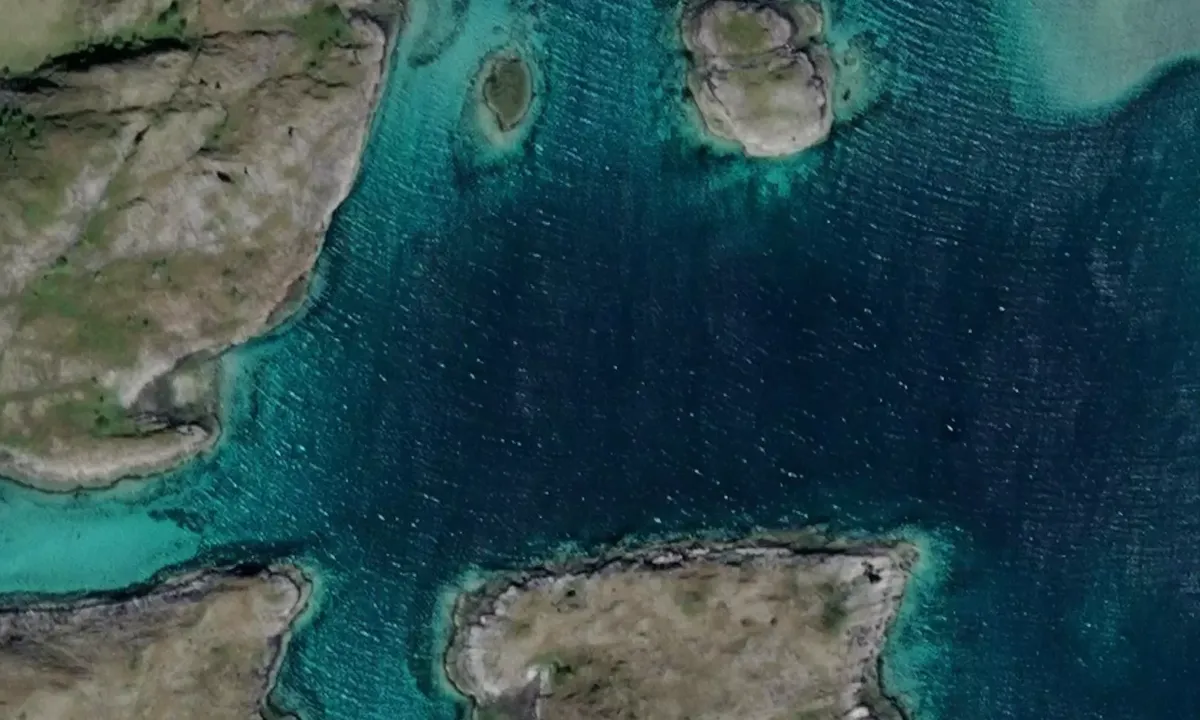
Prestøya
Natural harbour

Region: Norway (3474), Nordland (677), Helgelandskysten (257) and Rødøy (39)


Descriptions and reviews
Jesperalten says:
says:
area

maritime qualities

description
Nice to anchor in Hestviken with good protection from all directions and good holding.
With a dinghy, you can reach a nice sandy beach with a Sherpa trail that leads directly either to the 'center' or up Rødøyløva (Beautiful hike!).
[translated from Norwegian with AI]

1 x helpful | written on 23. Jun 2025
S/Y Maupihaa says:
area
maritime qualities
description
Simple approach, but be aware of the overhead cables in the area. These are well marked on the chart.
We anchored at about 15 meters. Got a hold relatively quickly.
From the beach in Hestviken, there is a hiking trail to Rødøyløva.
[translated from Norwegian with AI]
1 x helpful | written on 29. Jun 2023
Do you know this harbour? It's a huge help to other sailors if you add a short description or review of the harbour.
Map of Prestøya

Wind protection
Protection next night
86 points


Want to know how the wind score works? Then you should read this explanation.
The wind forecasts come from yr.no (Norwegian Meteorological Institute), and was last updated 1 hour and 11 minutes ago (Thursday 02 July 09:27 AM). The next night score shows you the worst hour between 22:00 and 08:00 the next night. We recommend that you check multiple sources for wind forecasts. windy.com is a good website to show larger wind systems.
The safe directions for this harbour was added at None. Click here to edit.
Last visits to Prestøya
The visits are retrieved from AIS data. You can click to see all visiting ships to Prestøya, as well as statistics about the ships that visits
Add this harbour to a journey
Choose a different date than today
Important: When you check in to a harbour, you add it to a journey on this website. You are not booking a place in the marina.
Contributors
Users that contributed to this page: S/Y Maupihaa
harbourmaps.com is updated by the boating community. When you add information, a review or pictures to this page you are listed here with the other contributors (we list your user-name, which can be your real name or a pseudonym).
Closest harbours to Prestøya
Filter by
Order by
0 harbours
Show more harbours
