
Descriptions and reviews
Hege Liaskar says:
area


maritime qualities


description
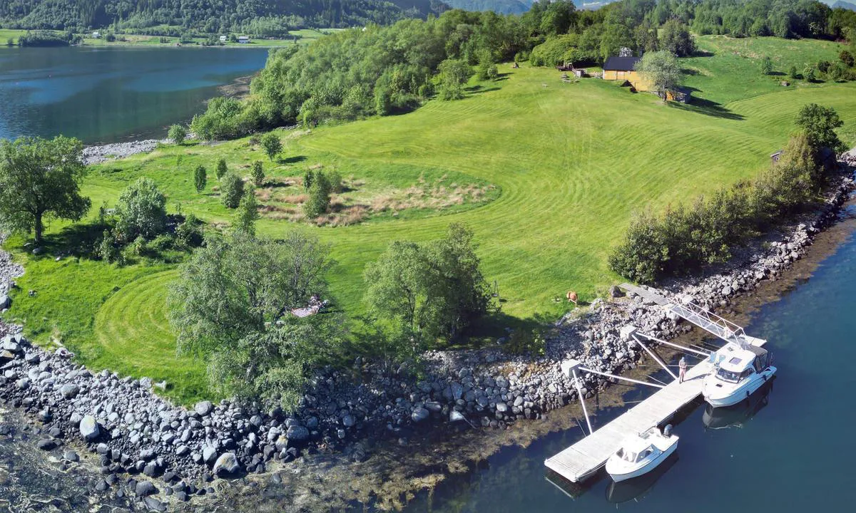
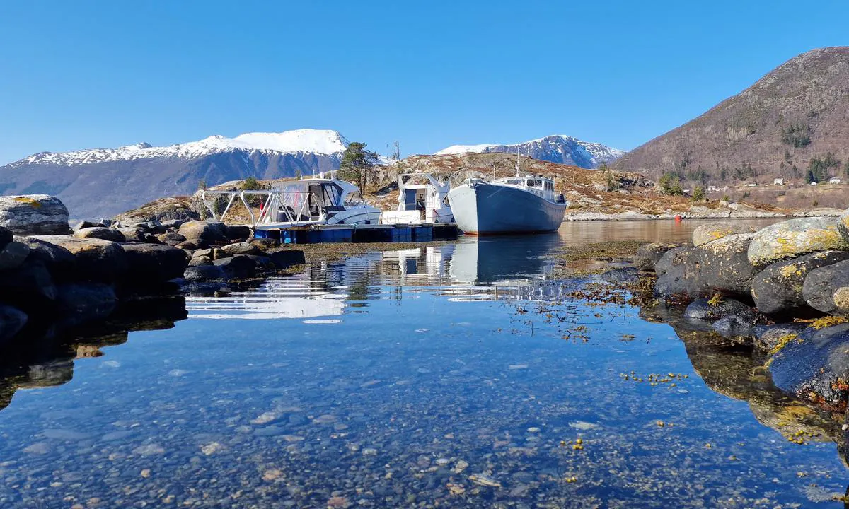
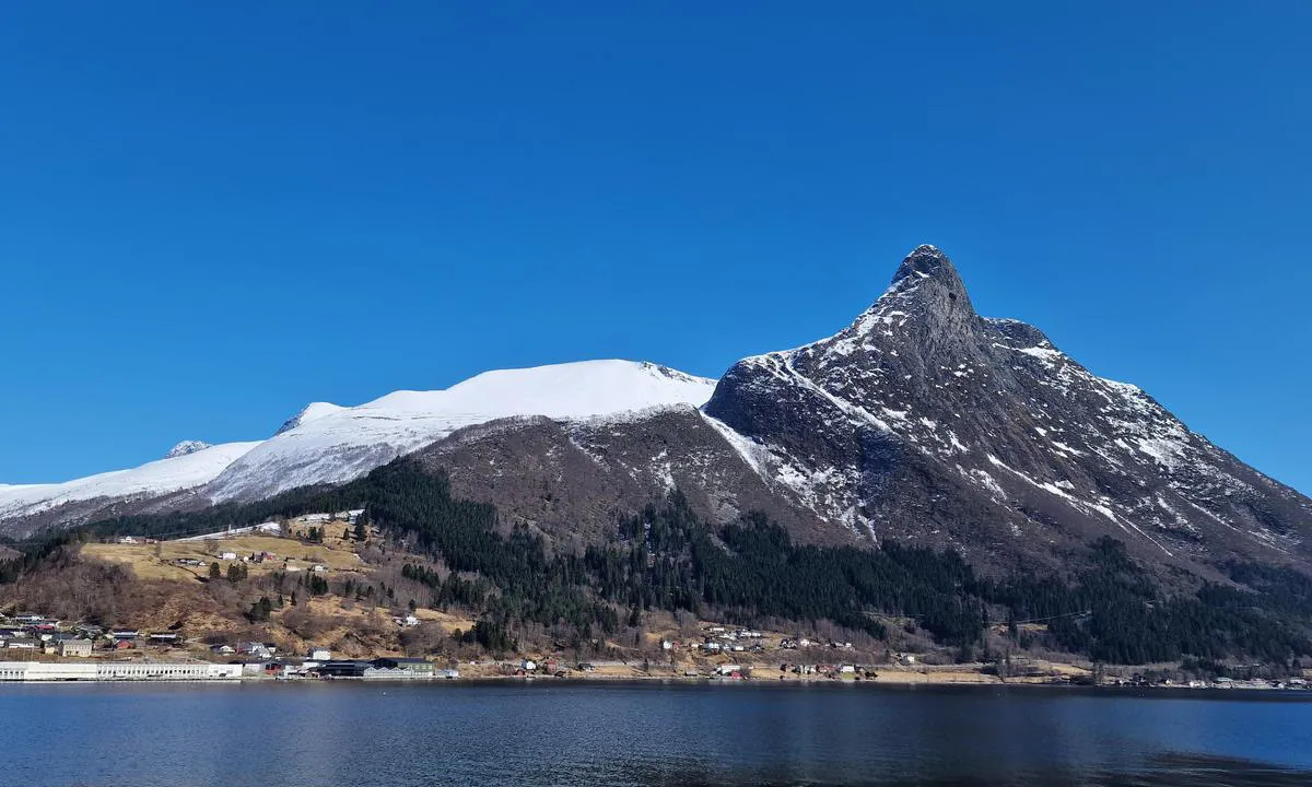
Nice dock, but too shallow for sailboats. There are 2 buoys belonging to Ørsta Sailing Association that can well be used. Beautiful area, well worth a trip ashore.
[translated from Norwegian with AI]

1 x helpful | written on 2. Aug 2024
PILA på tur
 says:
says:
area


maritime qualities


description
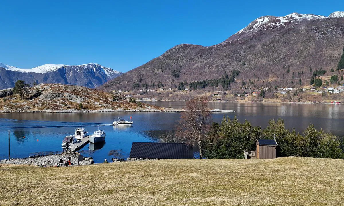
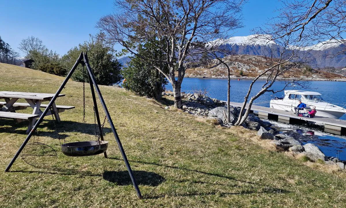
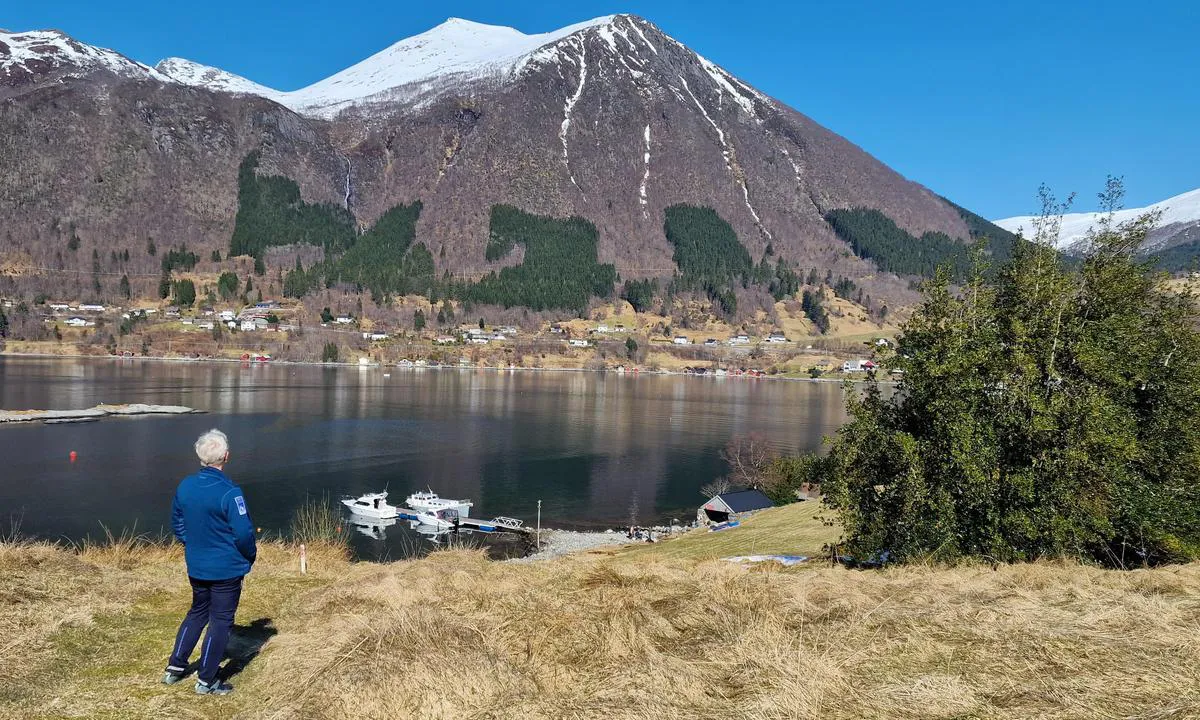
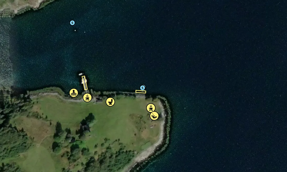
A relatively new facility was completed in the spring of 2023. The floating dock here was anchored in the bay northeast of the island before it was moved here and made landfast. This is the former guest dock in Ørsta, which has been given new life out here in the fjord.
It is relatively deep, so I assume that sailboats can also moor here; otherwise, they must use the anchorage north in the bay or the mooring buoys that have been laid out.
There is a holly reserve on Raudøya (often spelled Raudøyna on maps), which is the largest concentration of holly in Møre og Romsdal, and the only one of its kind north of what used to be Hordaland.
There are also several burial mounds on Raudøya, which are also protected. These are from the Bronze and Iron Ages. The largest mound has a diameter of 14 meters and rises one meter above the ground.
[translated from Norwegian with AI]

1 x helpful | written on 14. May 2024 | updated_on 22. May 2024
PILA på tur
 says:
says:
area


maritime qualities


description
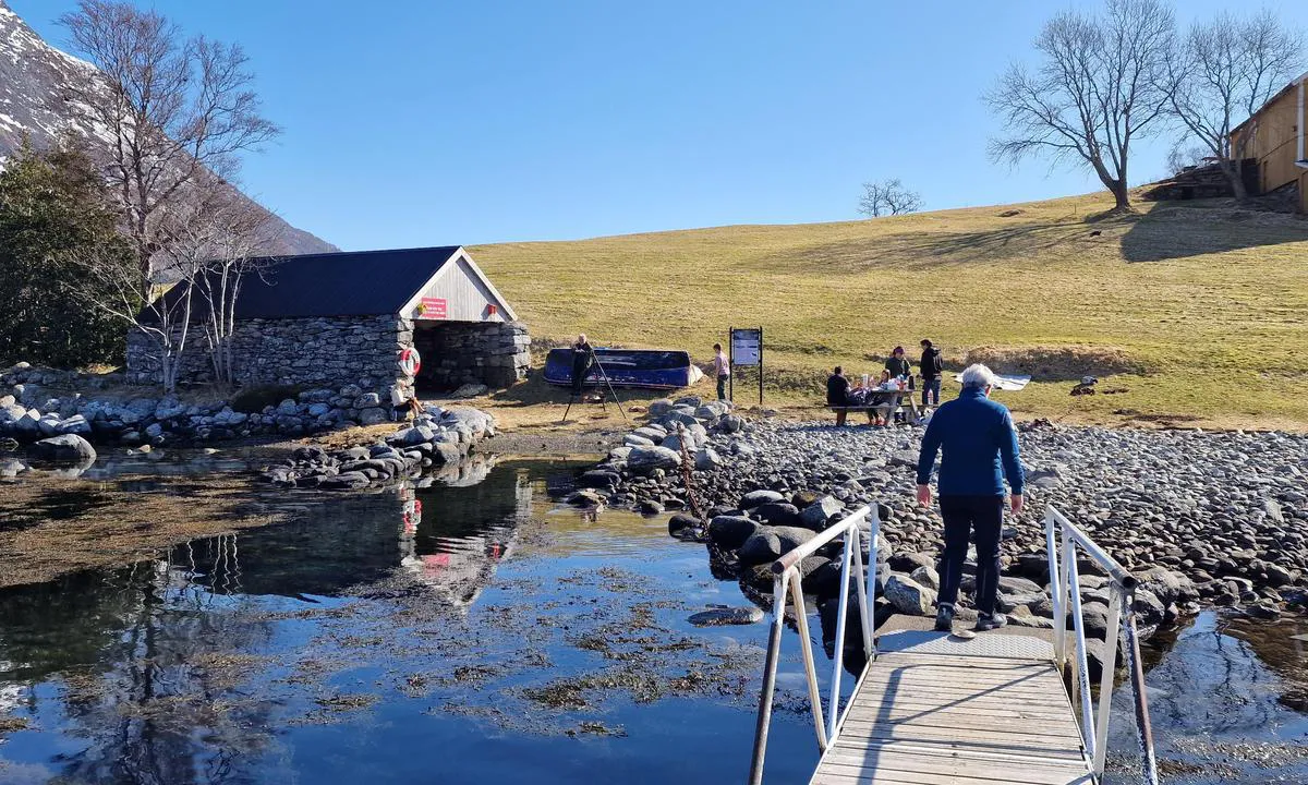
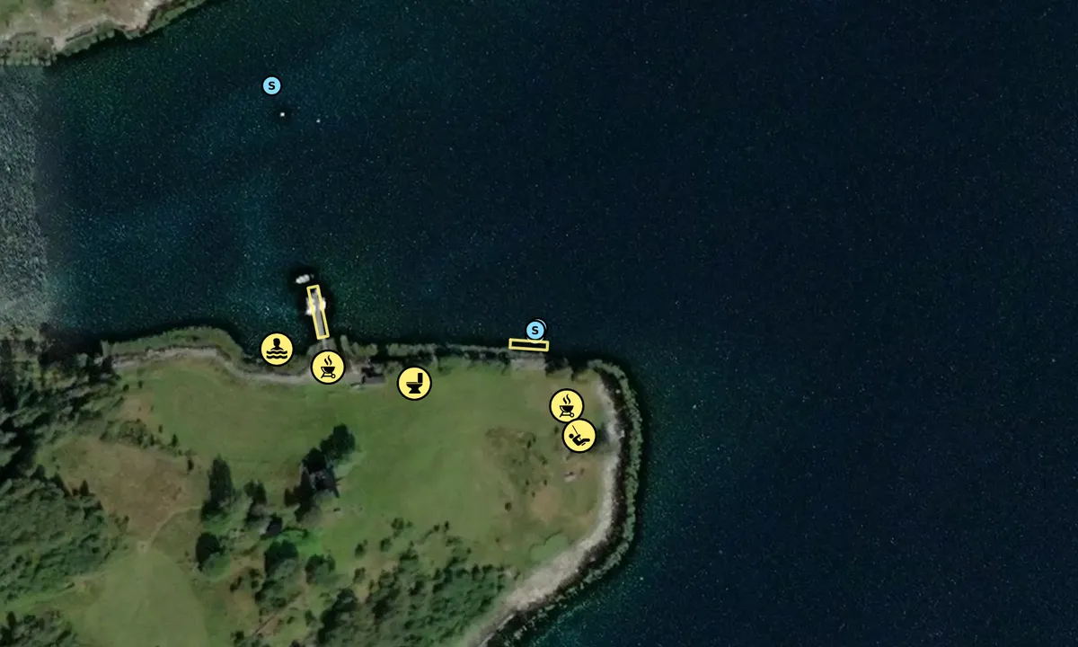
There are several mooring buoys in the bay to the north on Raudøya. It is too shallow for sailboats/keelboats to dock at the quay. Only short stays at high tide are possible. Otherwise, it is a kayak/dinghy that is required for these. There are some mooring buoys around the quay as well, and the mooring lines extend 'in every direction' from the dock, so stop the engine and coast towards the dock, unless you get a spot at the outermost part. Great facilities on land.
[translated from Norwegian with AI]

2 x helpful | written on 14. May 2024
Do you know this harbour? It's a huge help to other sailors if you add a short description or review of the harbour.
Map of Raudøya

Wind protection
Protection next night
66 points


Want to know how the wind score works? Then you should read this explanation.
The wind forecasts come from yr.no (Norwegian Meteorological Institute), and was last updated 1 hour and 58 minutes ago (Saturday 14 February 08:27 PM). The next night score shows you the worst hour between 22:00 and 08:00 the next night. We recommend that you check multiple sources for wind forecasts. windy.com is a good website to show larger wind systems.

The safe wind directions for this harbour has been decided by an algorithm, based on how elevated the land around the harbour is. It's mostly correct, but sometimes the underlying data about elevation levels is not good enough to make correct decisions. It's a great help to other if you can validate or adjust the safe wind directions. You can see the data used by the algorithm to decide the safe wind directions by clicking here.
Last visits to Raudøya
Wed 01 Nov 2023 |
|
|
Tue 05 Sep 2023 |
|
|
Wed 16 Aug 2023 |
|
|
Thu 10 Aug 2023 |
|
|
Fri 21 Jul 2023 |
|
|
The visits are retrieved from AIS data. You can click to see all visiting ships to Raudøya, as well as statistics about the ships that visits
Add this harbour to a journey
Choose a different date than today
Important: When you check in to a harbour, you add it to a journey on this website. You are not booking a place in the marina.
Contributors
Users that contributed to this page: PILA på tur
harbourmaps.com is updated by the boating community. When you add information, a review or pictures to this page you are listed here with the other contributors (we list your user-name, which can be your real name or a pseudonym).
Closest harbours to Raudøya
Filter by
Order by
0 harbours
Show more harbours








 TYRA [MMSI: 257963080]
 USE AKSCHEN [MMSI: 211117090]