


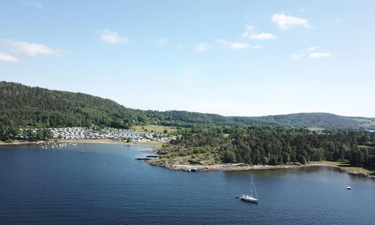
Signalodden
Natural harbour

Region: Norway (3464), Viken (190), Ytre Oslofjord (186), Østfoldkysten (123) and Moss (18)


Descriptions and reviews
Olav Pekeberg
 says:
says:
area


maritime qualities
description
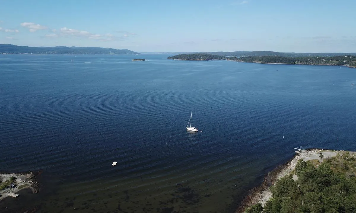
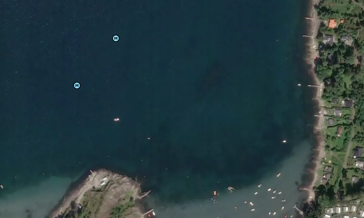
Approach and maritime conditions: Signalodden is located northwest on Jeløya. Most would probably not consider this a typical anchorage, but it is a nice stop on the way in and out of the Oslofjord. You get the best protection with an east wind. If waves enter the Oslofjord from the south, they tend to creep around the headland at Signalodden and can cause some rocking. The approach is uncomplicated, as long as you navigate around the four green stakes a little west of Signalodden and watch out for a 1.6-meter shallow area near the land. Check the nautical chart to be sure.
Anchoring: At Signalodden, you anchor in a relatively shallow area, with depths ranging from 3 to 8 meters in the most relevant anchoring spot. Good holding ground.
[translated from Norwegian with AI]

1 x helpful | written on 1. Jan 2023
Svai says:
says:
description
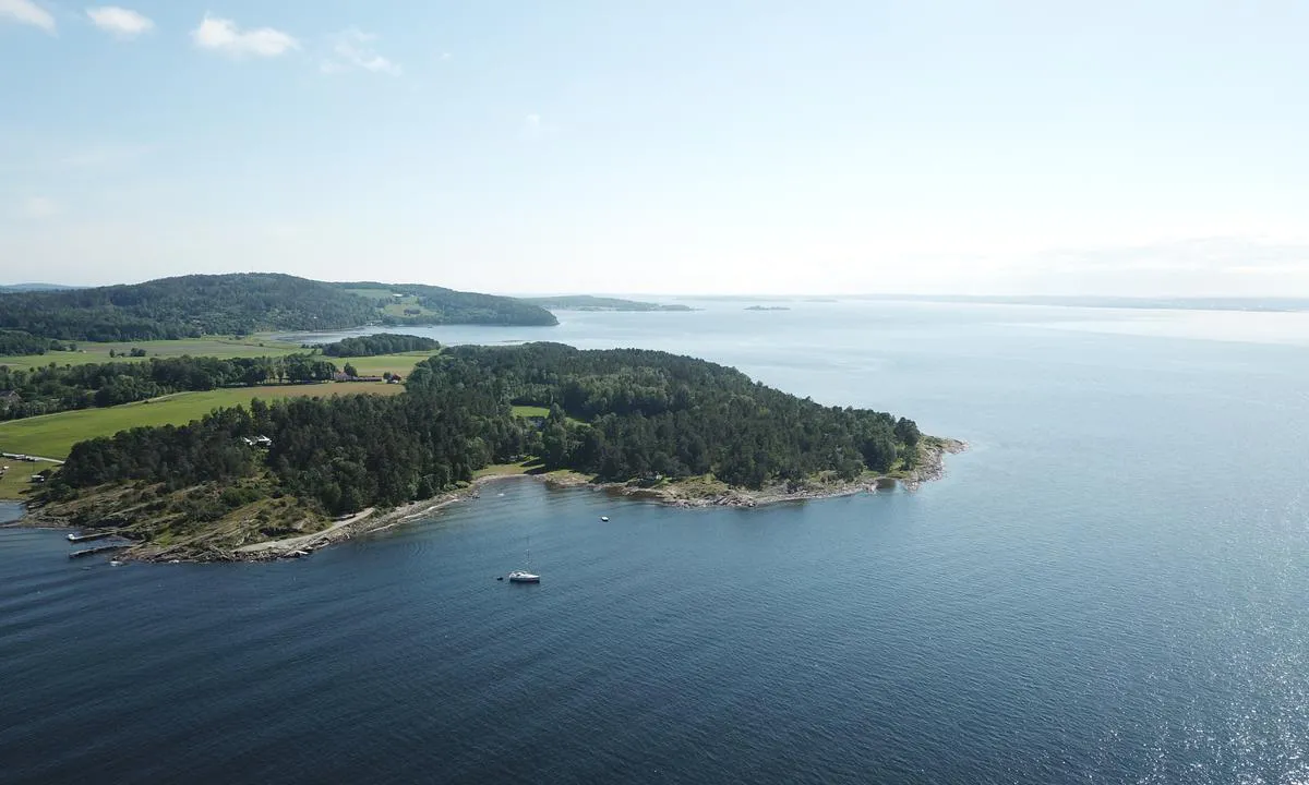
Inland, there is a campsite and nice recreational areas with good access by tender. During the summer season, you can enjoy beautiful sunsets at Signalodden. Great hiking areas; if you hike up to Bjørnåsen, you can see all the way to Gaustadtoppen on a clear day.
[translated from Norwegian with AI]
2 x helpful | written on 25. Jun 2021 | updated_on 1. Jan 2023
Do you know this harbour? It's a huge help to other sailors if you add a short description or review of the harbour.
Map of Signalodden

Wind protection
Protection next night
87 points


Want to know how the wind score works? Then you should read this explanation.
The wind forecasts come from yr.no (Norwegian Meteorological Institute), and was last updated 1 hour and 53 minutes ago (Monday 22 June 08:28 AM). The next night score shows you the worst hour between 22:00 and 08:00 the next night. We recommend that you check multiple sources for wind forecasts. windy.com is a good website to show larger wind systems.
The safe directions for this harbour was added at 26. May 2021. Click here to edit.
Last visits to Signalodden
Fri 18 Jul 2025 |
|
|
Sat 12 Apr 2025 |
|
|
Fri 02 Aug 2024 |
|
|
Tue 22 Aug 2023 |
|
|
Thu 27 Jul 2023 |
|
|
 SURF [MMSI: 258076420]
 FRU LUNA [MMSI: 258121850]
 SY WOOKIEE [MMSI: 211191950]
The visits are retrieved from AIS data. You can click to see all visiting ships to Signalodden, as well as statistics about the ships that visits
Add this harbour to a journey
Choose a different date than today
Important: When you check in to a harbour, you add it to a journey on this website. You are not booking a place in the marina.
Contributors
Users that contributed to this page: Olav Pekeberg and Svai
harbourmaps.com is updated by the boating community. When you add information, a review or pictures to this page you are listed here with the other contributors (we list your user-name, which can be your real name or a pseudonym).
Closest harbours to Signalodden
Filter by
Order by
0 harbours
Show more harbours
