


Descriptions and reviews
ArOp says:
says:
area

maritime qualities

description
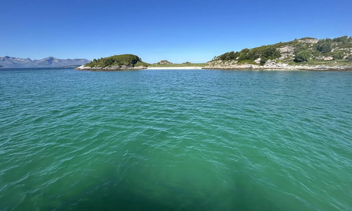
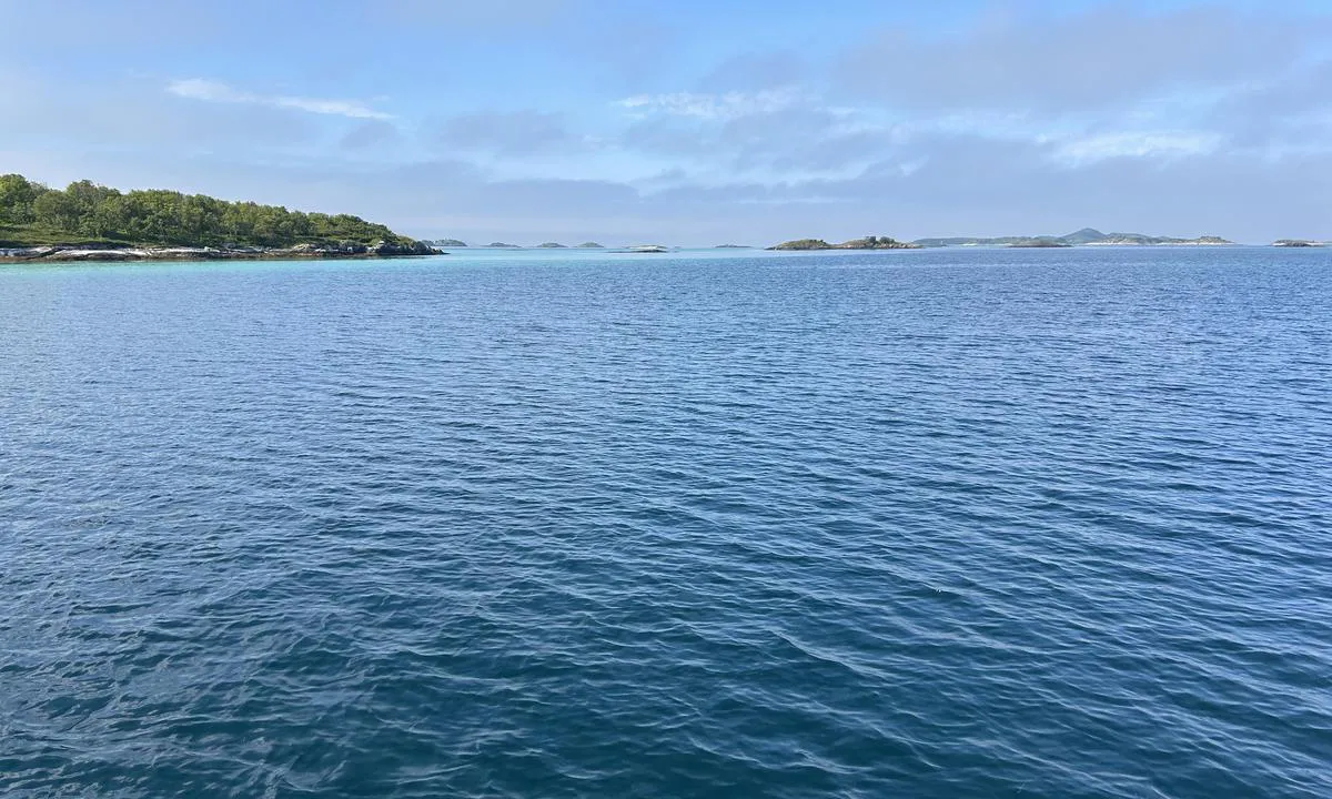
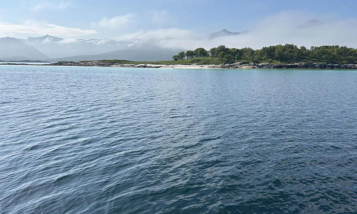
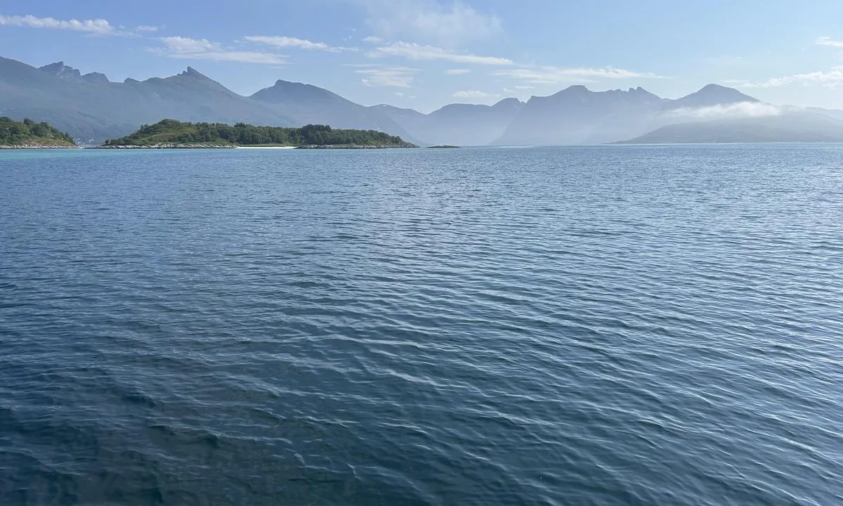
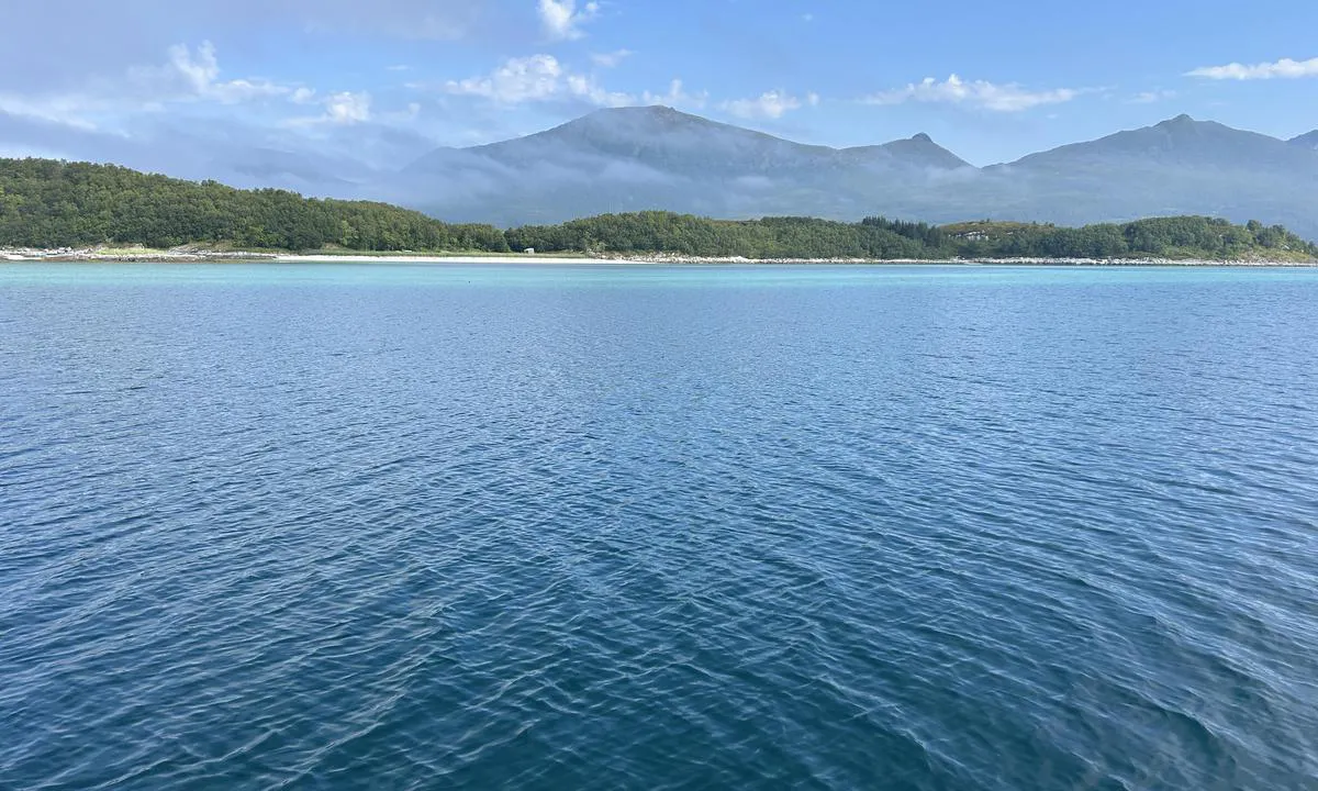
Very beautiful area with numerous chalk-white sandy beaches. Nature conservation area, but it is permitted to go ashore on many of the islands even during the nesting season. Check the map on Naturbase online to get it right.
It's easiest to enter from the SE. Follow a natural channel with sandbanks on each side. There is a deep 'hole' of 25 meters in the middle of the area, but good anchoring opportunities before and after.
Anchor on a sandy bottom at 9-15 meters. Good holding ground. No swell or waves from traffic. Well protected from wind from the N and NE.
[translated from Norwegian with AI]

2 x helpful | written on 19. Jul 2025
Do you know this harbour? It's a huge help to other sailors if you add a short description or review of the harbour.
Map of Store Færøya

Wind protection
Protection next night
90 points


Want to know how the wind score works? Then you should read this explanation.
The wind forecasts come from yr.no (Norwegian Meteorological Institute), and was last updated 2 hours and 28 minutes ago (Thursday 02 July 02:28 AM). The next night score shows you the worst hour between 22:00 and 08:00 the next night. We recommend that you check multiple sources for wind forecasts. windy.com is a good website to show larger wind systems.
The safe directions for this harbour was added at 19. Jul 2025. Click here to edit.
Last visits to Store Færøya
Fri 09 Aug 2024 |
|
|
 KAFFE [MMSI: 257938890]
The visits are retrieved from AIS data. You can click to see all visiting ships to Store Færøya, as well as statistics about the ships that visits
Add this harbour to a journey
Choose a different date than today
Important: When you check in to a harbour, you add it to a journey on this website. You are not booking a place in the marina.
Contributors
Users that contributed to this page: ArOp
harbourmaps.com is updated by the boating community. When you add information, a review or pictures to this page you are listed here with the other contributors (we list your user-name, which can be your real name or a pseudonym).
Closest harbours to Store Færøya
Filter by
Order by
0 harbours
Show more harbours
