


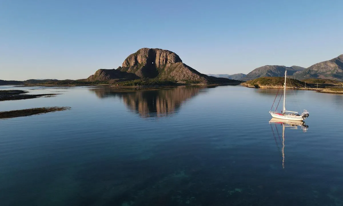
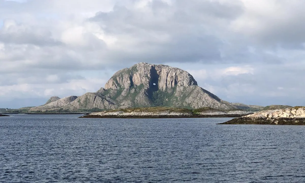
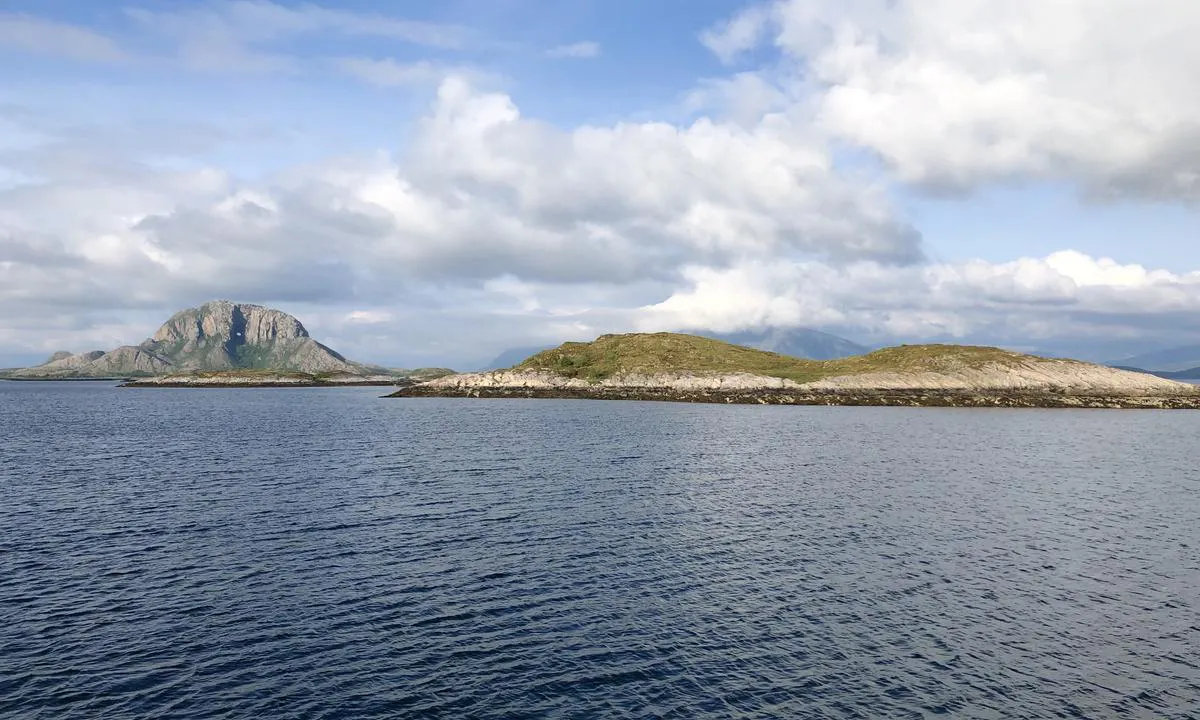
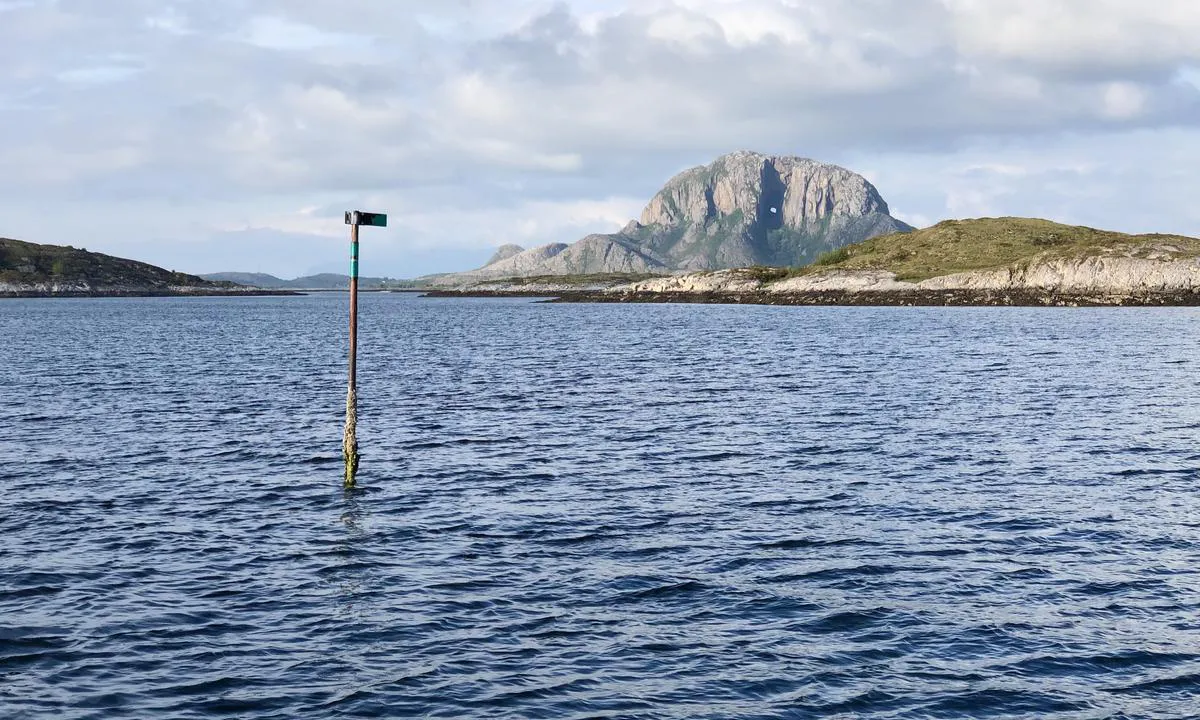
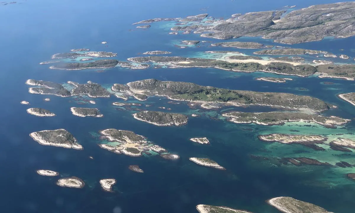
Torghatten - Flagøya
Natural harbour

Region: Norway (3480), Nordland (678), Helgelandskysten (257), Brønnøy (25), Berg (4) and Trælnes (3)


Descriptions and reviews
Fjellmatrosene says:
says:
area


maritime qualities
description
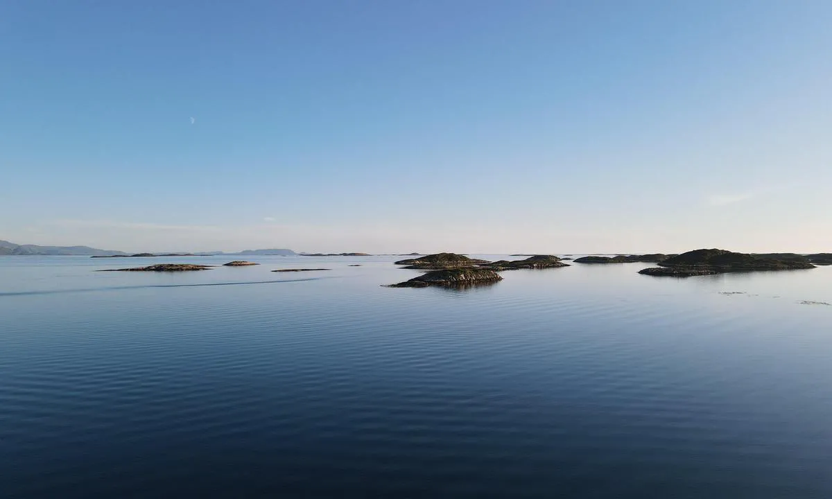
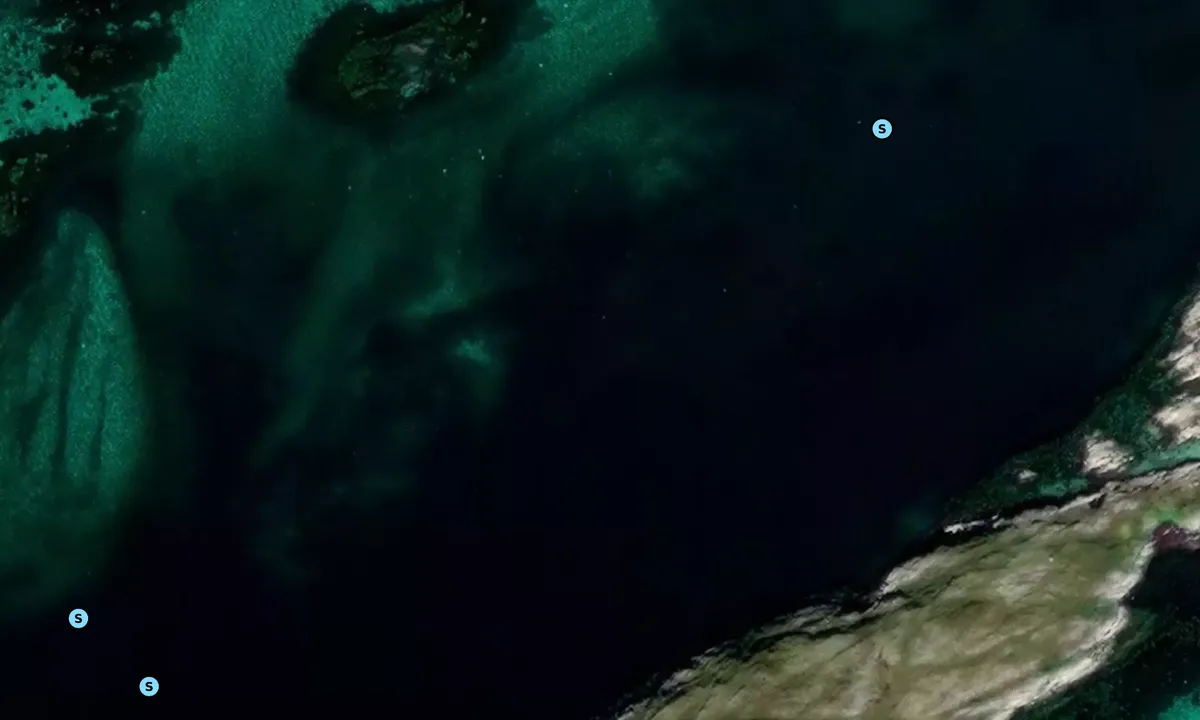
Good holding ground, 5-7 m depth. Be aware of pipes crossing the area at the entrance as it might tempt you to anchor a bit more to the west for better shelter. We were three boats there, and there was still plenty of space and ample room to swing.
[translated from Norwegian with AI]

1 x helpful | written on 23. Jul 2023
Olav Pekeberg
 says:
says:
description
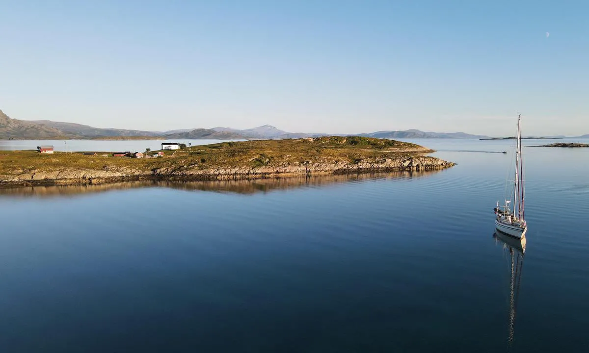
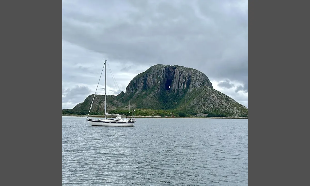
Approach and maritime conditions: This anchorage is located south of Torghatten, in a perfect line to see the famous hole in the mountain. Apart from northerly and northeasterly winds, you are quite exposed, and this is a fair-weather harbor.
Anchoring: Anchoring depth 5-10 meters.
[translated from Norwegian with AI]
0 x helpful | written on 7. Jun 2021
Do you know this harbour? It's a huge help to other sailors if you add a short description or review of the harbour.
Map of Torghatten - Flagøya

Wind protection
Protection next night
70 points


Want to know how the wind score works? Then you should read this explanation.
The wind forecasts come from yr.no (Norwegian Meteorological Institute), and was last updated 2 hours and 9 minutes ago (Saturday 04 July 06:29 PM). The next night score shows you the worst hour between 22:00 and 08:00 the next night. We recommend that you check multiple sources for wind forecasts. windy.com is a good website to show larger wind systems.
The safe directions for this harbour was added at 7. Jun 2021. Click here to edit.

Torghatten - Flagøya and/or the surrounding seas is not well protected from strong winds and waves, and you should take caution in foul weather. Click to edit protection level.
Last visits to Torghatten - Flagøya
Sat 12 Aug 2023 |
|
|
Tue 08 Aug 2023 |
|
|
Fri 21 Jul 2023 |
|
|
 VELVET [MMSI: 227328440]
 INUA [MMSI: 257074950]
 MOON [MMSI: 259019540]
The visits are retrieved from AIS data. You can click to see all visiting ships to Torghatten - Flagøya, as well as statistics about the ships that visits
Add this harbour to a journey
Choose a different date than today
Important: When you check in to a harbour, you add it to a journey on this website. You are not booking a place in the marina.
Contributors
Users that contributed to this page: Olav Pekeberg, Ulf Dahlslett / SY Fryd and Odd Tufte. S/Y Vindreken
harbourmaps.com is updated by the boating community. When you add information, a review or pictures to this page you are listed here with the other contributors (we list your user-name, which can be your real name or a pseudonym).
Closest harbours to Torghatten - Flagøya
Filter by
Order by
0 harbours
Show more harbours
