Værøya
Værøya
Værøya
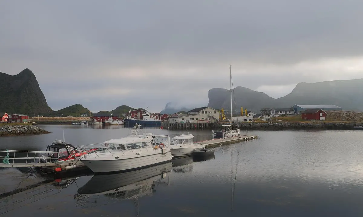
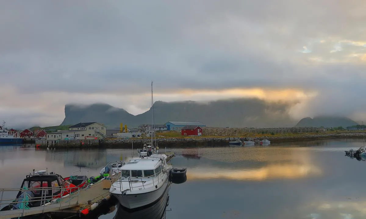
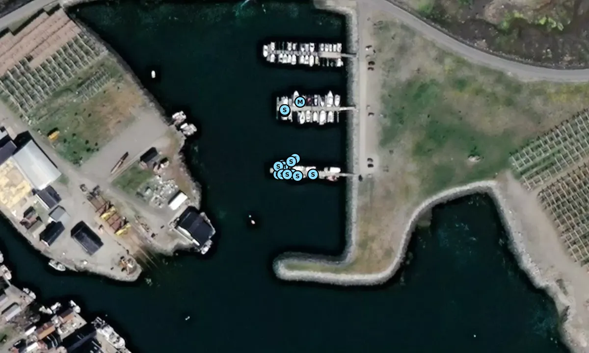
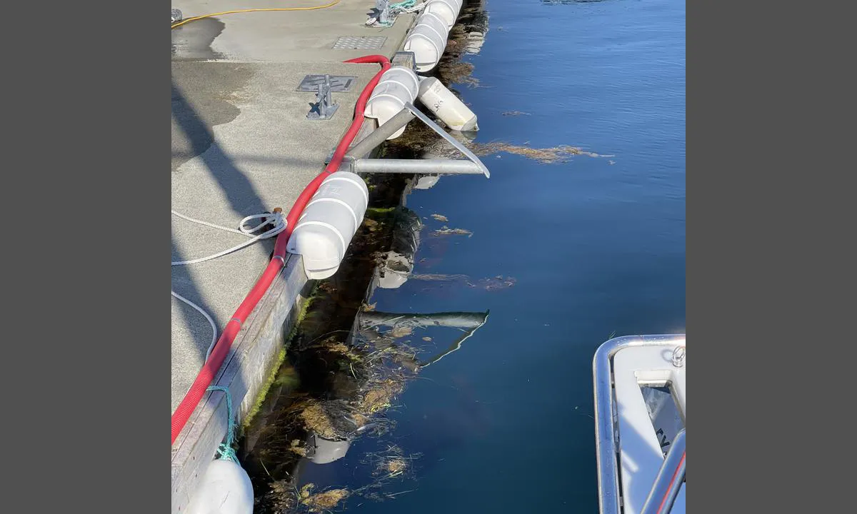
Værøya: {"base": "no", "no": "Det meste av brygga er forbeholdt lokale friskere i f\u00f8lge en lokal..", "se": "Det mesta av bryggan \u00e4r reserverad f\u00f6r lokala fiskare enligt en lokal..", "en": "Most of the dock is reserved for local fishermen according to a local source.", "da": "Det meste af broen er forbeholdt lokale sejlere if\u00f8lge en lokal.."}
Værøya: {"base": "no", "no": "Tydelig signal.. hold deg unna..!", "se": "Tydlig signal.. h\u00e5ll dig undan..!", "en": "Clear signal.. stay away..!", "da": "Tydeligt signal.. hold dig v\u00e6k..!"}
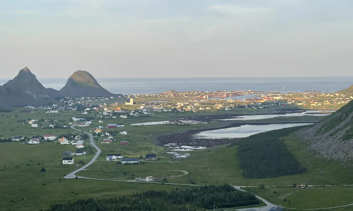
Værøya: {"base": "no", "no": "For tur opp p\u00e5 H\u00e5en eller Hornet, f\u00f8lg veien inn til de bl\u00e5 husene. Tydelig sti videre oppover. Smal grusvei g\u00e5r rundt flatene nede i dalen er ogs\u00e5 et flott turalternativ om man ikke vil i h\u00f8yden.", "se": "F\u00f6r en tur upp p\u00e5 H\u00e5en eller Hornet, f\u00f6lj v\u00e4gen in till de bl\u00e5 husen. Tydlig stig vidare upp\u00e5t. Smal grusv\u00e4g som g\u00e5r runt de \u00f6ppna ytorna nere i dalen \u00e4r ocks\u00e5 ett utm\u00e4rkt alternativ f\u00f6r en promenad om man inte vill g\u00e5 upp p\u00e5 h\u00f6jderna.", "en": "For a trip up to H\u00e5en or Hornet, follow the road to the blue houses. Clear path continues upwards. A narrow gravel road around the flats down in the valley is also a great alternative if you do not want to go up in altitude.", "da": "For tur op p\u00e5 H\u00e5en eller Hornet, f\u00f8lg vejen ind til de bl\u00e5 huse. Tydelig sti videre opad. Smal grusvej g\u00e5r rundt fladerne nede i dalen og er ogs\u00e5 et fantastisk turalternativ, hvis man ikke vil i h\u00f8jden."}
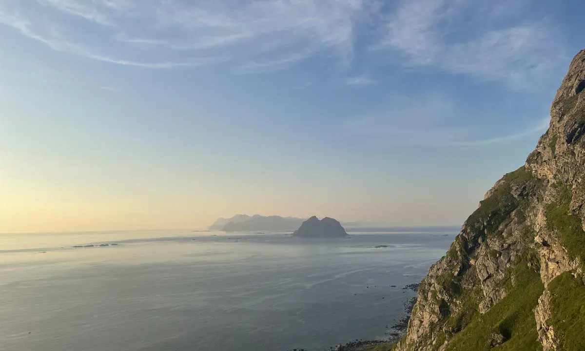
Værøya: {"base": "no", "no": "Fra Hornet, Mosken og Lofoten mot nord.", "se": "Fr\u00e5n Hornet, Mosken och Lofoten mot norr.", "en": "From Hornet, Mosken, and Lofoten towards the north.", "da": "Fra Hornet, Mosken og Lofoten mod nord."}
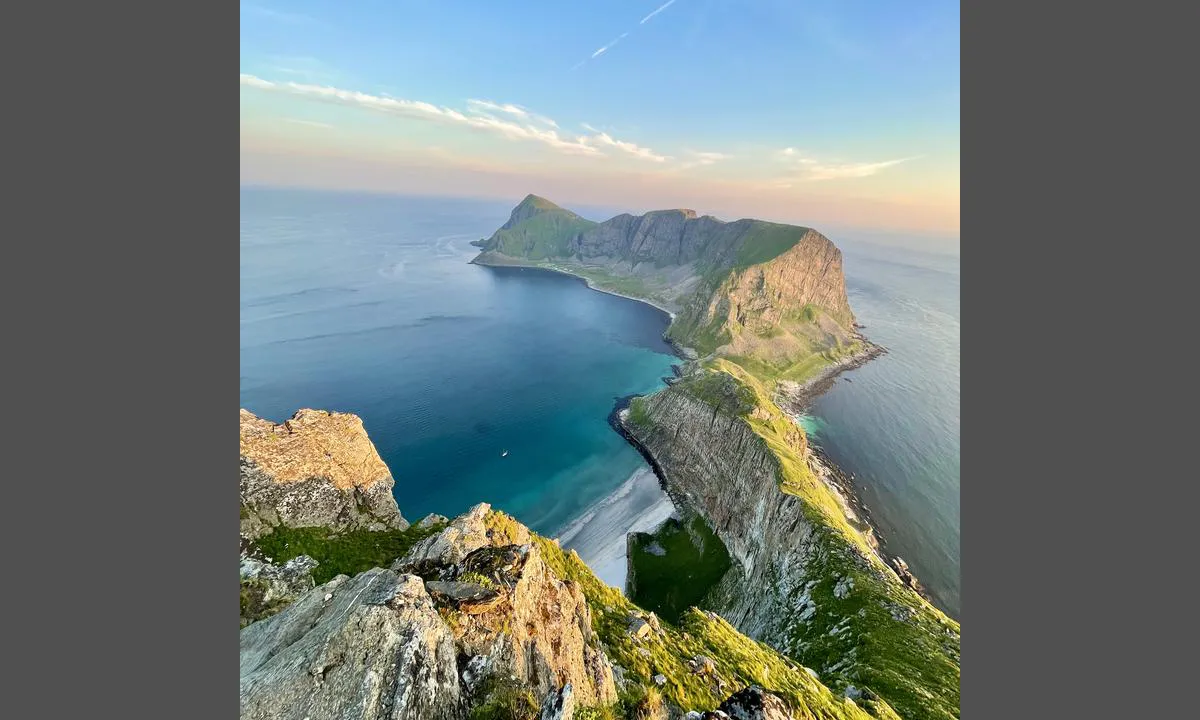
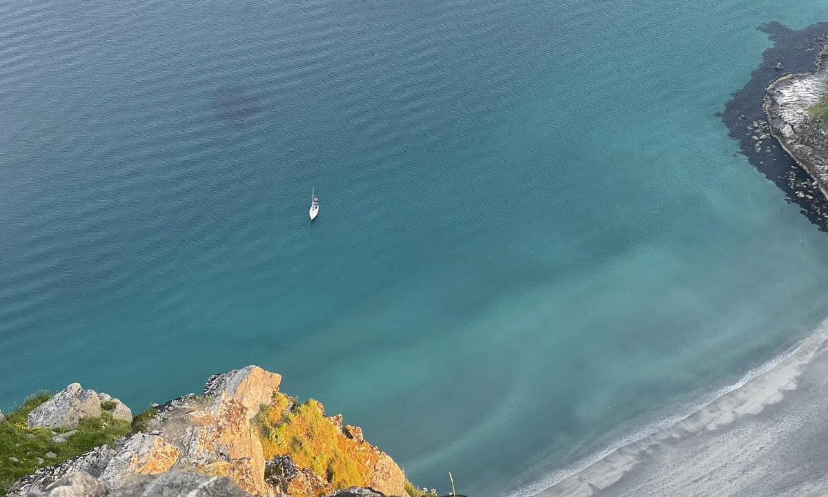
Værøya: {"base": "no", "no": "Bukta med den  ikoniske fjellveggen og lange stranden. Her kan det fint ankres om vinden ikke st\u00e5r fra syd.\r\nBildet tatt fra kantet p\u00e5 H\u00e5en. Advarsel: Bratt..!", "se": "Bukten med den ikoniska bergv\u00e4ggen och den l\u00e5nga stranden. H\u00e4r kan det ankrars om vinden inte kommer fr\u00e5n syd. Bilden tagen fr\u00e5n kanten vid H\u00e5en. Varning: Brant..!", "en": "The bay with the iconic cliff wall and long beach. Anchoring here is fine if the wind is not coming from the south.<br>Photo taken from the edge of H\u00e5en. Warning: Steep..!", "da": "Bugten med den ikoniske klippev\u00e6g og lange strand. Her kan fint ankres, hvis vinden ikke kommer fra syd. Billedet taget fra kanten ved H\u00e5en. Advarsel: Stejl..!"}
Værøya
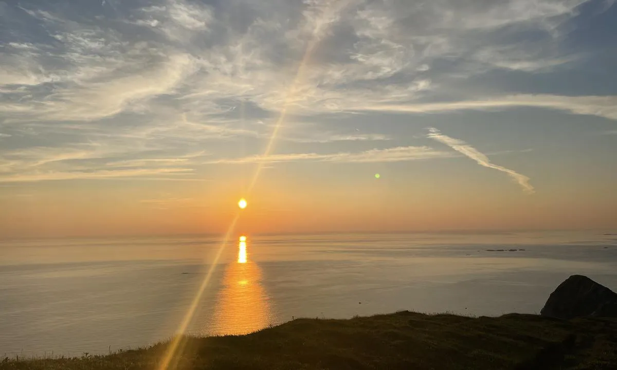
Værøya: {"base": "no", "no": "Midnattssola sett fra H\u00e5heia..", "se": "Midnattssolen sett fr\u00e5n H\u00e5heia.", "en": "The midnight sun seen from H\u00e5heia.", "da": "Midnatssolen set fra H\u00e5heia.."}
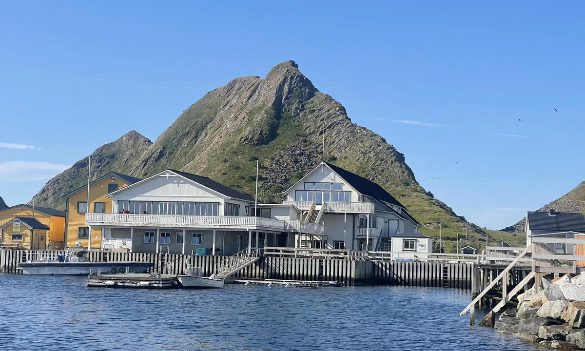
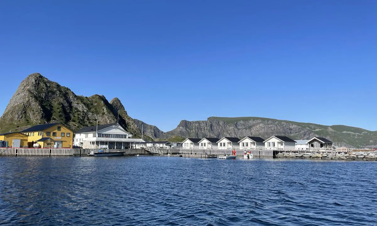
Værøya: {"base": "no", "no": "Lofoten og V\u00e6r\u00f8y Bryggehotell. Restauranten her har fantastisk mat. Fritidsb\u00e5ter kan benytte ledig plass langs kaie og flytebrygge. St\u00f8rre b\u00e5ter 37+ fot m\u00e5 nok fort\u00f8ye lang kaien enn\u00e5, men eieren er svanger med planer om st\u00f8rre flytebrygge.", "se": "Lofoten och V\u00e6r\u00f8y Brygghotell. Restaurangen h\u00e4r har fantastisk mat. Fritidsb\u00e5tar kan anv\u00e4nda ledig plats l\u00e4ngs kaj och flytbrygga. St\u00f6rre b\u00e5tar 37+ fot m\u00e5ste nog f\u00f6rt\u00f6ja l\u00e4ngs kajen \u00e4nnu, men \u00e4garen \u00e4r gravid med planer om st\u00f6rre flytbrygga.", "en": "Lofoten and V\u00e6r\u00f8y Bryggehotell. The restaurant here has fantastic food. Leisure boats can use available space along the quay and floating dock. Larger boats 37+ feet will probably need to moor along the quay for now, but the owner is expecting to have plans for a larger floating dock.", "da": "Lofoten og V\u00e6r\u00f8y Bryggehotel. Restauranten her har fantastisk mad. Fritidsb\u00e5de kan benytte ledig plads langs kajen og flydebroen. St\u00f8rre b\u00e5de 37+ fod m\u00e5 nok fort\u00f8je langs kajen endnu, men ejeren er gravid med planer om st\u00f8rre flydebro."}
Værøya
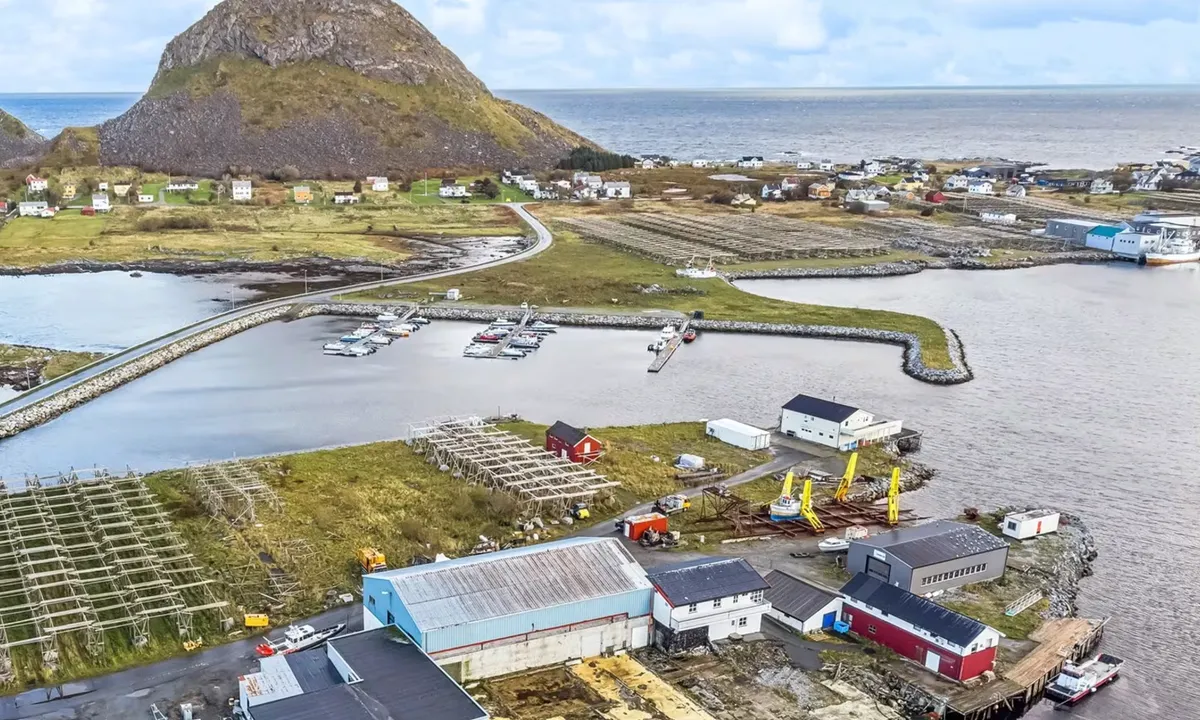
Flyfoto av Værøya

📸 Upload a photo

Show off your photos and help others plan their journey to Værøya.harbourmaps.com is created by the sailing community, in a collective effort to make cruising simpler and more fun. Uploading a photo takes less than a minutes and can be done from your phone, tablet or laptop.

📸 Upload a photo

Facilities

Available facilities: Shore power, Fresh water.

Updated on 13. Jul 2024. Update facilities.

Mooring

Options for mooring in this harbour: To pier/wharf.

Updated on 13. Jul 2024. Update mooring.

Contact information

website: Add website

phone: Add phone number

email: Add email

Descriptions and reviews

Fjellmatrosene says:

description

Approach and maritime conditions: Safely located at the innermost part of the harbor, but only 4 berths.
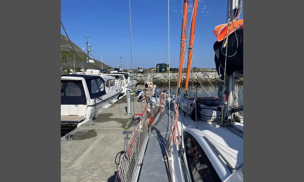
Mooring: Long floating dock, which was previously a guest harbor, but now taken over by local residents. According to one of the locals, there are only two berths on each side at the outer end that can be used as guest berths. However, there are no markings on the dock to confirm this.
The area: Convenience store is 10 minutes away.
Lofoten and Værøy Brygge Hotel, which also has space for a couple of guest boats outside, has been improved and serves incredibly good food. Definitely worth a visit.
Fantastic hiking opportunities. Håen in particular is recommended. Clear path from the road at the mountain where the tunnel starts. About 3 km from the harbor to the tunnel.

[translated from Norwegian with AI]

2 x helpful | written on 2. Jul 2022 | updated_on 3. Aug 2023

Do you know this harbour? It's a huge help to other sailors if you add a short description or review of the harbour.

📜 Add description

Map of Værøya

Facilities

Available facilities: Shore power, Fresh water.

Updated on 13. Jul 2024. Update facilities.

Mooring

Options for mooring in this harbour: To pier/wharf.

Updated on 13. Jul 2024. Update mooring.

Wind protection

Protection next night

65 points

N E S W --> } } } } } } } } } } } } } } } } } } } } } } } } } } } } } } } } } } } } } } } } } } } } } } } } } } } } } } } } } } } } } } } } } } } } } } } } } } } } } } } } } } } } } } } } } } } } } } } } } } } } } } } } } } } } } } } } } } } } } } } } } } } } } } } } } } } } } } } } } } } } } } } } } } } } } } } } } } } } } } } } } } } } } } } } } } } } } } } } } } } } } } } } } } } } } } } } } } } } } } } } } } } } } } } } } } } } } } } } } } } } } } } } } } } } } } } } } } } } } } } } } } } } } } } } } } } } } } } } } } } } } } } } } } } } } } } } } } } } } } } } } } } } } } } } } } } } } } } } } } } } } } } } } } } } } } } } } } } } } } } } } } } } } } } } } } } } } } } } } } } } } } } } } } } } } } } } } } } } } } } } } } } } } } } } } } } } } } } } } } } } } } } } } } } } } } } } } } } } } } } } } } } } } } } } } } } } } } } } } } } } } } } } } } } } } } } } } } } } } } } } } } } } } } } } } } } } } } } } } } } } } } } } } } } } } } } } } } } } } } } } } } } } } } } } } } } } } } } } } } } } } } } } } } } } } } } } } } } } } } } } } } } } } } } } } } } } } } } } } } } } } } } } } } } } } } } } } } } } } } } } } } } } } } } } } } } } } } } } } } } } } } } } } } } } } } } } } } } } } } } } } } } } } } } } } } } } } } } } } } } } } } } } } } } } } } } } } } } } } } } } } } } } } } } } } } } } } } } } } } } } } } } } } } } } } } } } } } } } } } } } } } } } } } } } } } } } } } } } } } } } } } } } } } } } } } } } } } } } } } } } } } } } } } } } } } } } } } } } } } } } } } } } } } } } } } } } } } } } } } } } } } } } } } } } } } } } } } } } } } } } } } } } } } } } } } } } } } } } } } } } } } } } } } } } } } } } } } } } } } } } } } } } } } } } } } } } } } } } } } } } } } } } } } } } } } } } } } } } } } } } } } } } } } } } } } } } } } } } } } } } } } } } } } } } } } } } } } } } } } } } } } } } } } } } } } } } } } } } } } } } } } } } } } } } } } } } } } } } } } } } } } } } } } } } } } } } } } } } } } } } } } } } } } } } } } } } } } } } } } } } Next night 0:00 6:00 12:00 Lør 14 Des 18:00 0:00 6:00 15m/s 1m/s

Want to know how the wind score works? Then you should read this explanation.

The wind forecasts come from yr.no (Norwegian Meteorological Institute), and was last updated 2 hours and 15 minutes ago (Friday 13 December 10:28 PM). The next night score shows you the worst hour between 22:00 and 08:00 the next night. We recommend that you check multiple sources for wind forecasts. windy.com is a good website to show larger wind systems.

The safe directions for this harbour was added at None. Click here to edit.

Last visits to Værøya

Thu 21 Dec 2023

DELFIN II [MMSI: 257669020]

Sun 01 Oct 2023

POLARIS [MMSI: 211316290]

Fri 01 Sep 2023

GNIST [MMSI: 219030889]

Mon 28 Aug 2023

NAJADINE [MMSI: 257923550]

Sat 26 Aug 2023

IDIO 10 [MMSI: 258283350]

The visits are retrieved from AIS data. You can click to see all visiting ships to Værøya, as well as statistics about the ships that visits

Add this harbour to a journey

Check in now

Choose a different date than today

Important: When you check in to a harbour, you add it to a journey on this website. You are not booking a place in the marina.

Contributors

Users that contributed to this page: Christian Østby, Fjellmatrosene, Stein Ødegård, Jakub Szeluga, ©norgeskart.no, S/Y Rulten and HarbourMaps (site admin)

harbourmaps.com is updated by the boating community. When you add information, a review or pictures to this page you are listed here with the other contributors (we list your user-name, which can be your real name or a pseudonym).

Closest harbours to Værøya
Filter by

Natural harbour
Marina
Safe wind next night

Order by

ABC
Popularity
Wind score next night

0 harbours
Show more harbours