


Taralden og Danmark
Natural harbour

Region: Norway (3470), Viken (190), Ytre Oslofjord (187), Østfoldkysten (123), Østfold (38), Moss (18) and Larkollen (5)


Descriptions and reviews
Sussi Lundqvist says:
area


maritime qualities
description
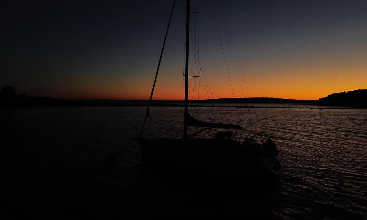
The anchor held on the first attempt. We have a chain and let out quite a lot due to a previous comment. It is fairly open to winds from all directions due to the flat landscape. Decent protection from north/northwest wind. Nice. Beautiful sandy beach.
[translated from Swedish with AI]

1 x helpful | written on 22. Jul 2025
Dag-Egil Bull Sletholt says:
says:
area
maritime qualities
description
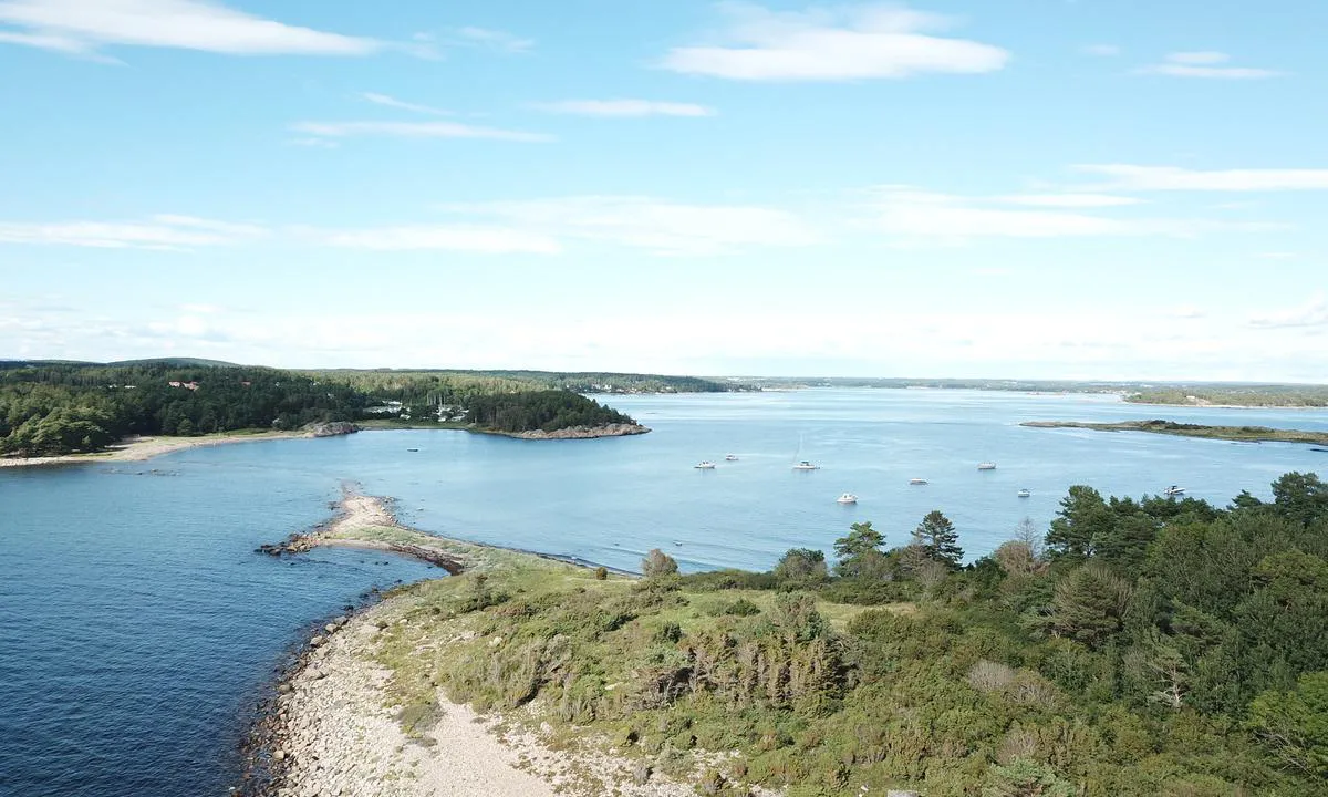
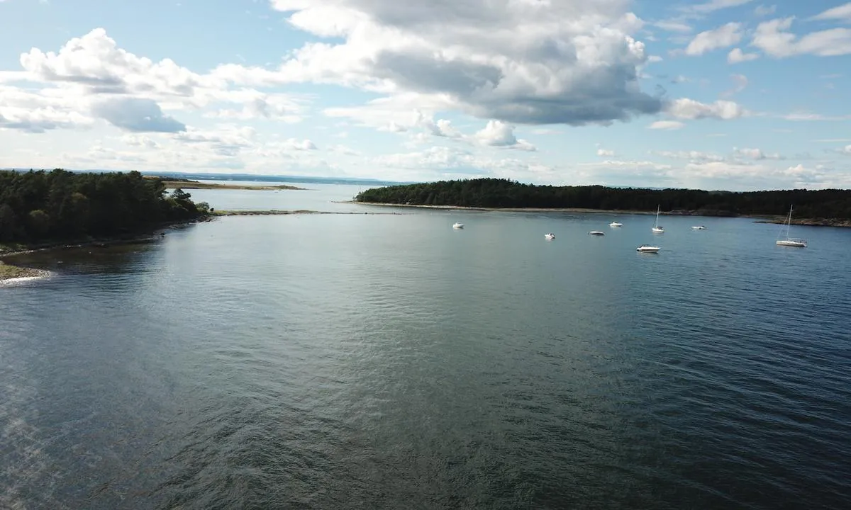
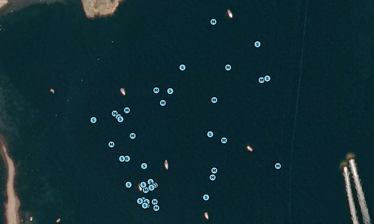
A little north of where this natural harbour is marked on the chart, it is also suitable for anchoring. The chart shows Flata and Husebukta, marked with an anchoring symbol. It is actually a fairly large area with room for many boats. We got a good hold in the clay bottom.
[translated from Norwegian with AI]
2 x helpful | written on 18. Jun 2023
Svai says:
description
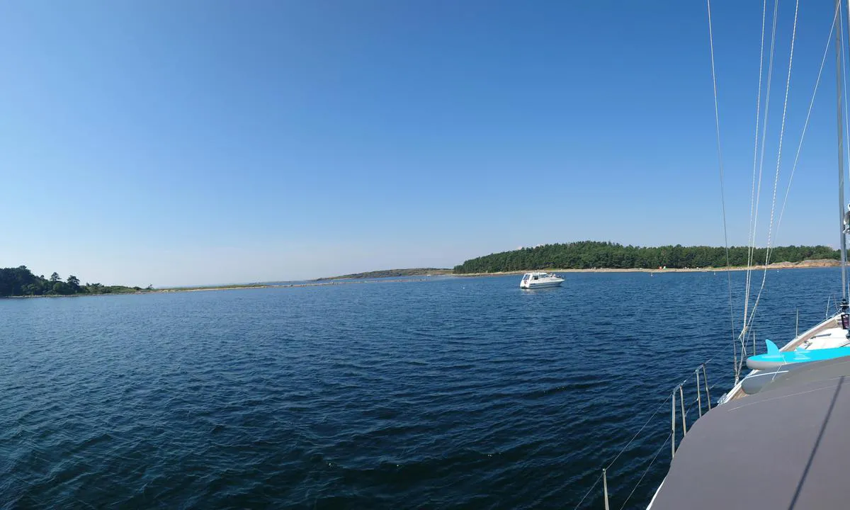
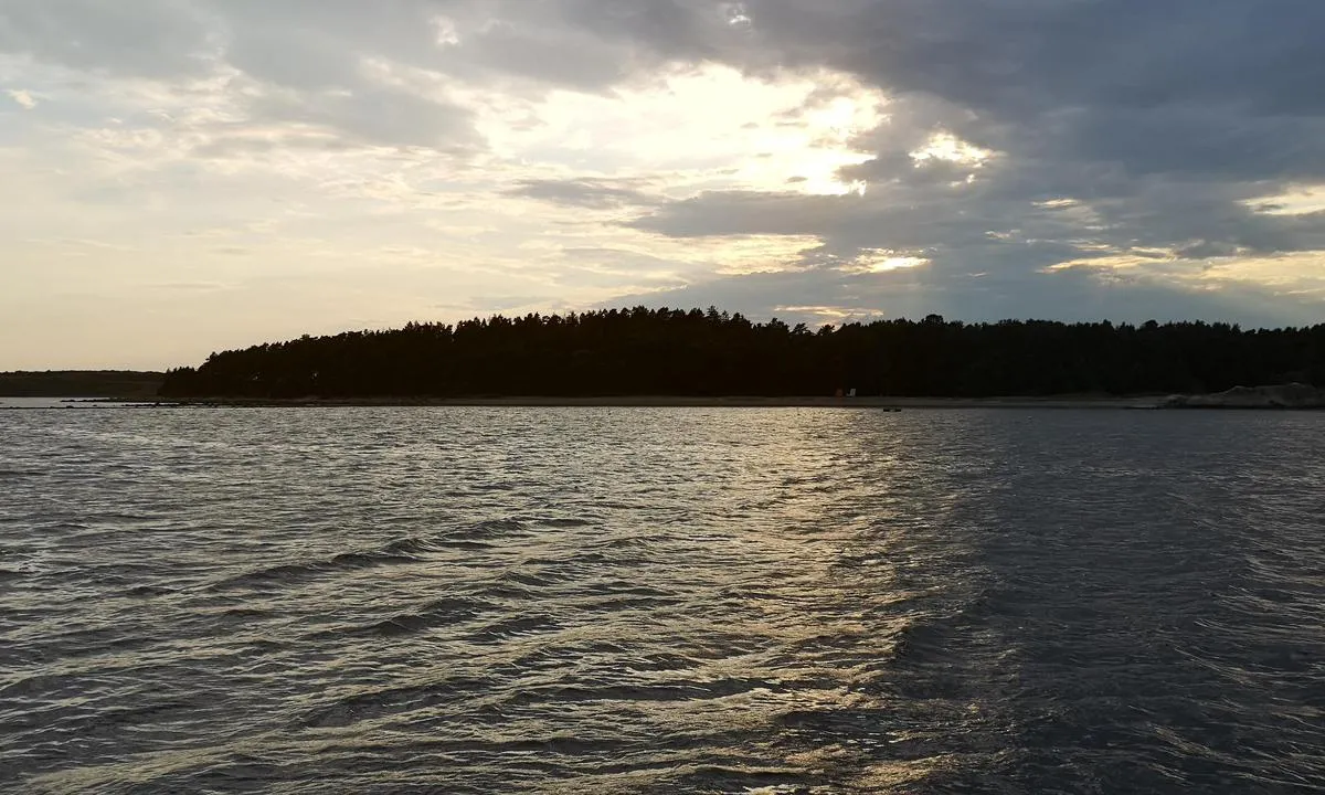
Approach and Maritime Conditions: Well-protected lagoon surrounded by Denmark to the south, Taralden to the east, and the beautiful free beach at Larkollen to the north.
Anchoring: The approach is simple both southwest and north of Taralden, but be aware of shallows that are not indicated with depth in all electronic sea charts. Depths of 5-10 m. Sandy bottom, somewhat challenging holding if you are stingy with the chain.
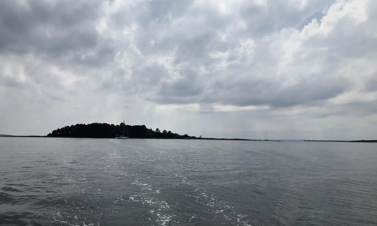
After prolonged SW gales in the Skagerrak, you will experience swells and uneven waves entering the bay from the east, peaking as the bottom shallows.
Note also that gales from NE-SE will be unpleasant here.
The Area: Very popular outdoor area closely connected to the legendary Larkollen Camping. Shallow beaches, perfect for families with children who take the dinghy to shore.
[translated from Norwegian with AI]
1 x helpful | written on 25. Jun 2021
Do you know this harbour? It's a huge help to other sailors if you add a short description or review of the harbour.
Map of Taralden og Danmark

Wind protection
Protection next night
61 points


Want to know how the wind score works? Then you should read this explanation.
The wind forecasts come from yr.no (Norwegian Meteorological Institute), and was last updated 1 hour and 59 minutes ago (Sunday 28 June 12:28 AM). The next night score shows you the worst hour between 22:00 and 08:00 the next night. We recommend that you check multiple sources for wind forecasts. windy.com is a good website to show larger wind systems.
The safe directions for this harbour was added at None. Click here to edit.

Taralden og Danmark and/or the surrounding seas is not well protected from strong winds and waves, and you should take caution in foul weather. Click to edit protection level.
Last visits to Taralden og Danmark
Sat 30 May 2026 |
|
|
Thu 30 Apr 2026 |
|
|
Fri 05 Sep 2025 |
|
|
Sat 23 Aug 2025 |
|
|
Fri 15 Aug 2025 |
|
|
 ATHENE [MMSI: 258085680]
 FELIX [MMSI: 257666720]
 SHULCO [MMSI: 261002381]
The visits are retrieved from AIS data. You can click to see all visiting ships to Taralden og Danmark, as well as statistics about the ships that visits
Add this harbour to a journey
Choose a different date than today
Important: When you check in to a harbour, you add it to a journey on this website. You are not booking a place in the marina.
Contributors
Users that contributed to this page: SY Luna, Svai, Geir Eidsmo, Anonymous sailor 197816, Sussi Lundqvist and Ola Kleiven
harbourmaps.com is updated by the boating community. When you add information, a review or pictures to this page you are listed here with the other contributors (we list your user-name, which can be your real name or a pseudonym).
Closest harbours to Taralden og Danmark
Filter by
Order by
0 harbours
Show more harbours
