


Contributions by Ariadne
Ariadne has uploaded 9 images and written 5 reviews. Click on the images and reviews below to see the harbour pages.
Ariadne has 176 contribution points.
Harbour images
See an image you like? Please click the 👍 below the image to let Ariadne know you liked it. The images are sorted by popularity.
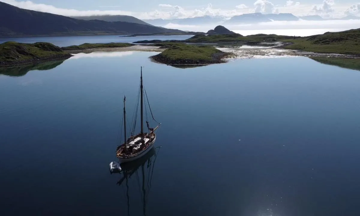
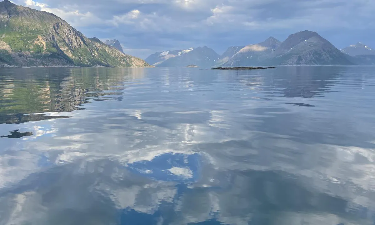
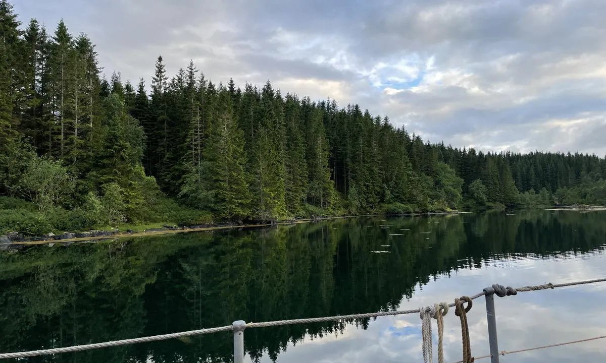
Valen i Kipparfjorden
natural_harbour
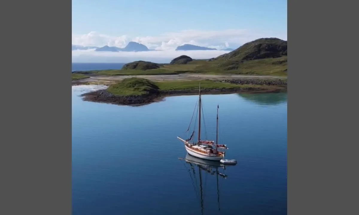

2 liker bildet
Image uploaded on 18. Jul 2022
Skalsa
natural_harbour
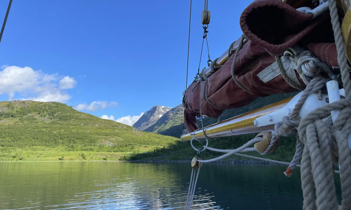
1 liker bildet
Image uploaded on 7. Jul 2022
Skalsa
natural_harbour
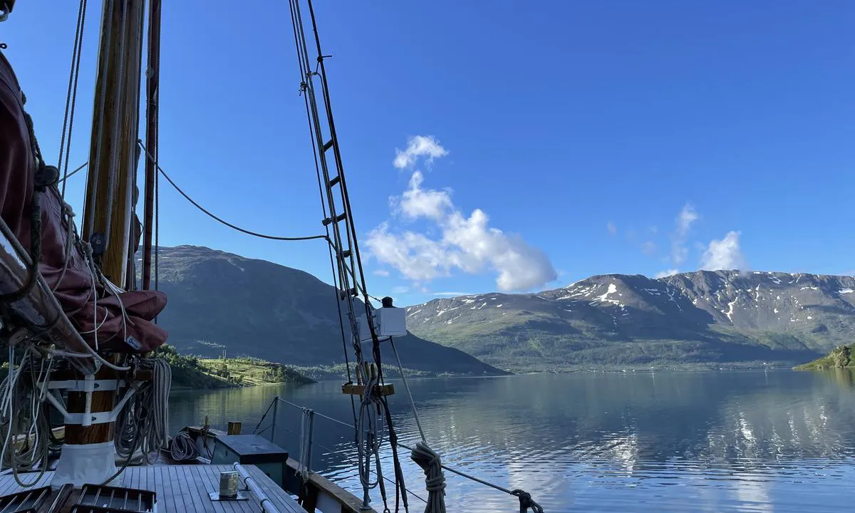
1 liker bildet
Image uploaded on 7. Jul 2022
Valen i Kipparfjorden
natural_harbour
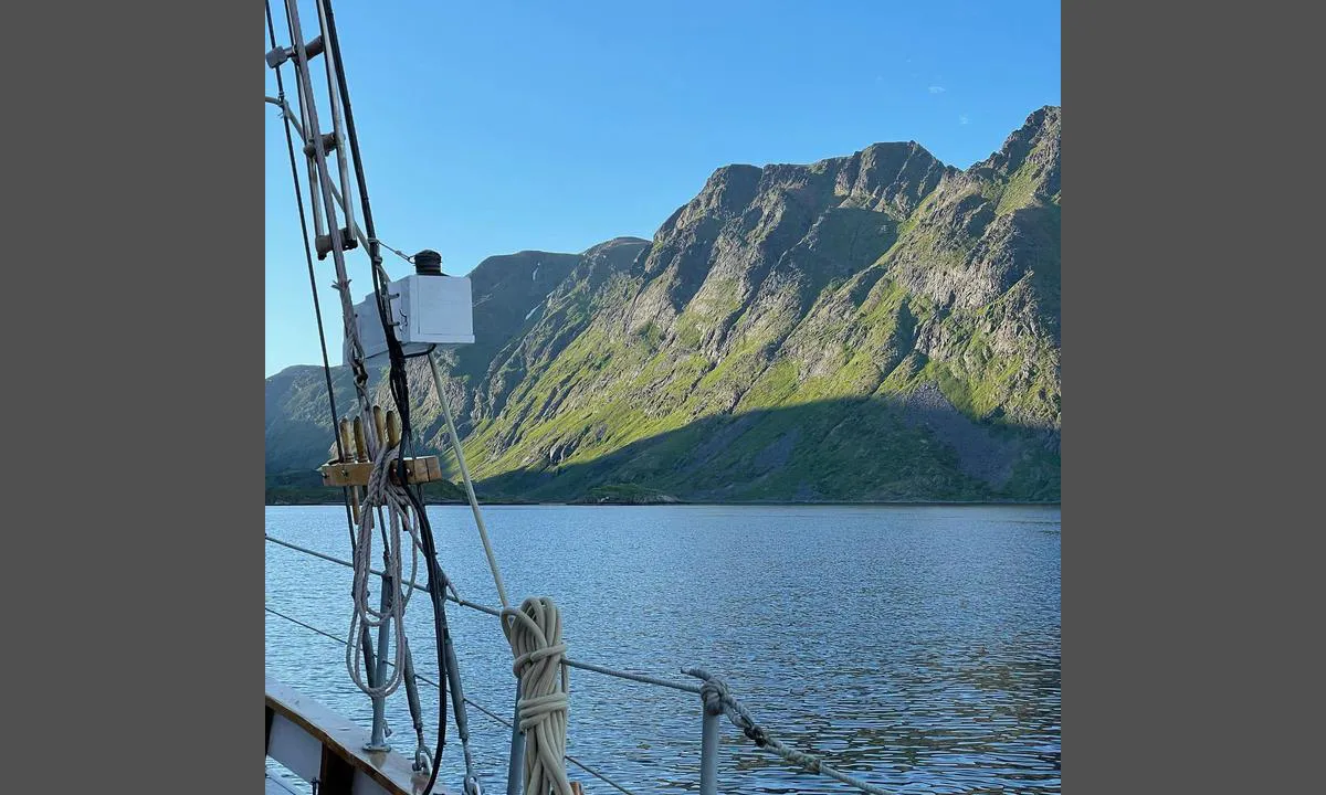
0 liker bildet
Image uploaded on 18. Jul 2022
Valen i Kipparfjorden
natural_harbour
0 liker bildet
Image uploaded on 18. Jul 2022
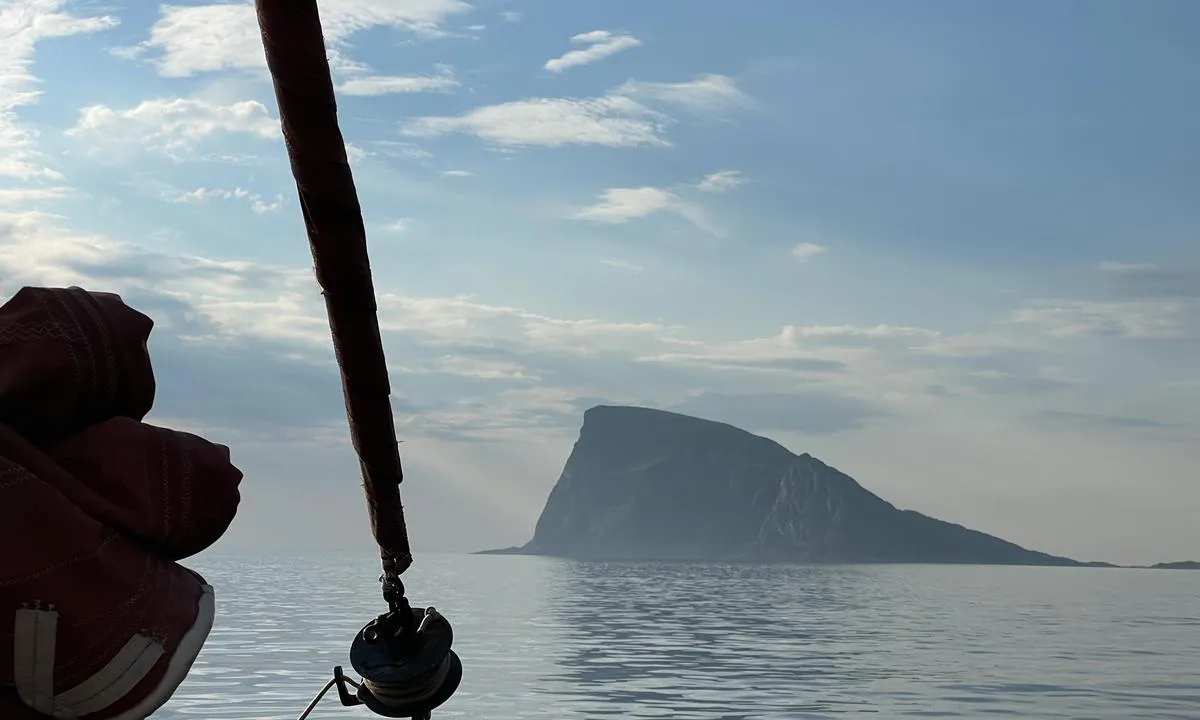
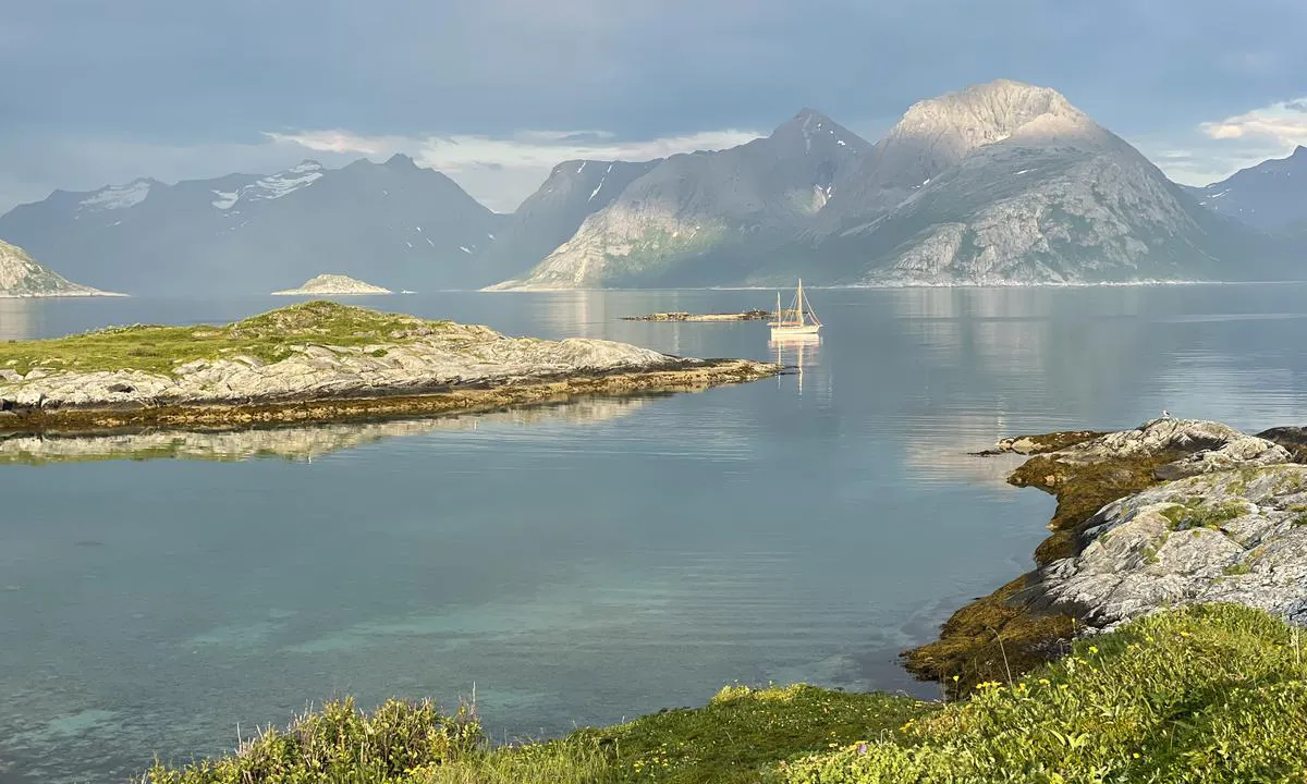
Håja Øst
natural_harbour
0 liker bildet
Image uploaded on 5. Jul 2022
Håja Øst
natural_harbour
0 liker bildet
Image uploaded on 5. Jul 2022
Håja Øst
natural_harbour
0 liker bildet
Image uploaded on 5. Jul 2022
Undervågen
natural_harbour
0 liker bildet
Image uploaded on 7. Jul 2021
Reviews
See a helpful review? Please click the 👍 below the review to let Ariadne know that you found it helpful.
Ariadne says:
description
Entrance and maritime conditions: Anchor 8-9m 2.8m when entering. Keep in center.
Anchoring: There is a wooden dock at the innermost part of the bay, but we do not know if this is public.
3 x helpful | written on 7. Jul 2021
Ariadne says:
description
Approach and maritime conditions: Skalsabukta is situated almost right by the Jøkelfjord Glacier. Marked reef on the eastern side of the bay. Rocky shores, but it seems we anchored in sand.
Anchoring: Anchoring depth 14-15m. Appears to be a sandy bottom.
The area: The Skalsa River flows down from Skalsavannet at the very end of the bay.
2 x helpful | written on 7. Jul 2022
Ariadne says:
area

maritime qualities

description
Lying at anchor in a relatively sheltered bay, and you can anchor at depths of 5-12 meters depending on where in the bay you position yourself.
2 x helpful | written on 18. Jul 2022
Ariadne says:
description
Approach and maritime conditions: Håja is located out in the open sea west of Kvaløya in Troms. It is a steep cliff island when seen from the southwest, but thus offers okay protection from westerly winds.
Anchoring: Anchorage in the middle of the bay at approximately 12 meters depth with a sandy bottom.
The area: Fantastic view from the highest point Nipen at 486 meters above sea level (take the southern route up).
A couple of white beaches on the eastern side where the island is also flatter.
1 x helpful | written on 6. Jul 2022
Ariadne says:
description
Enter a little east in the fjord, and north of Valen. Keep an eye on the chart for shoals.
1 x helpful | written on 18. Jul 2022
