


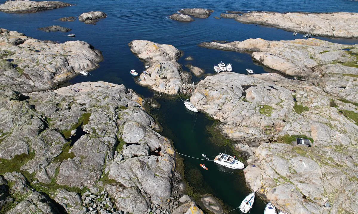
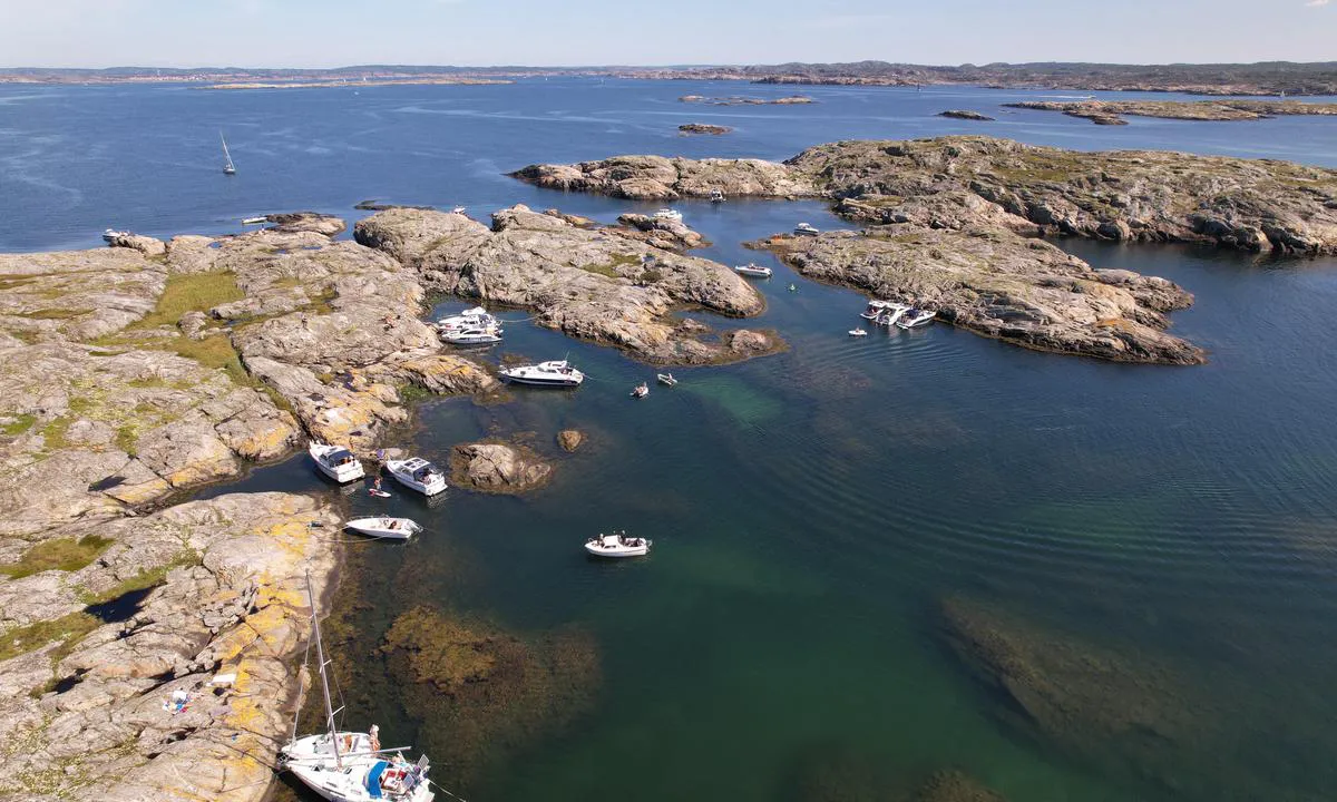
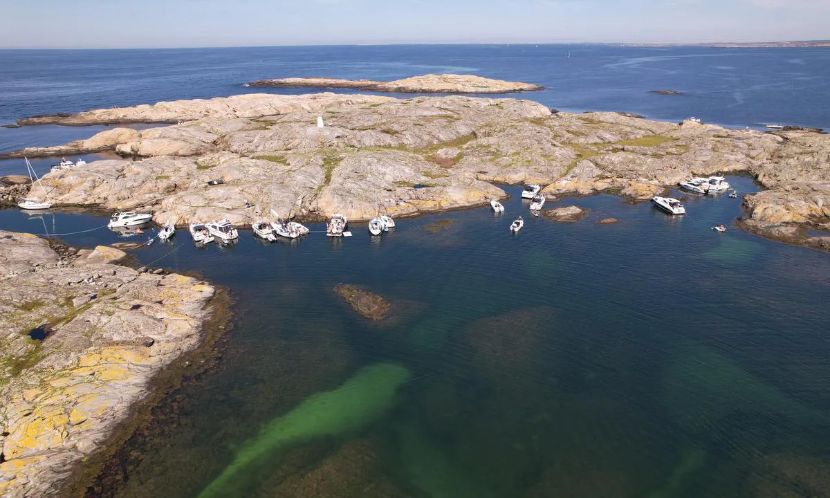
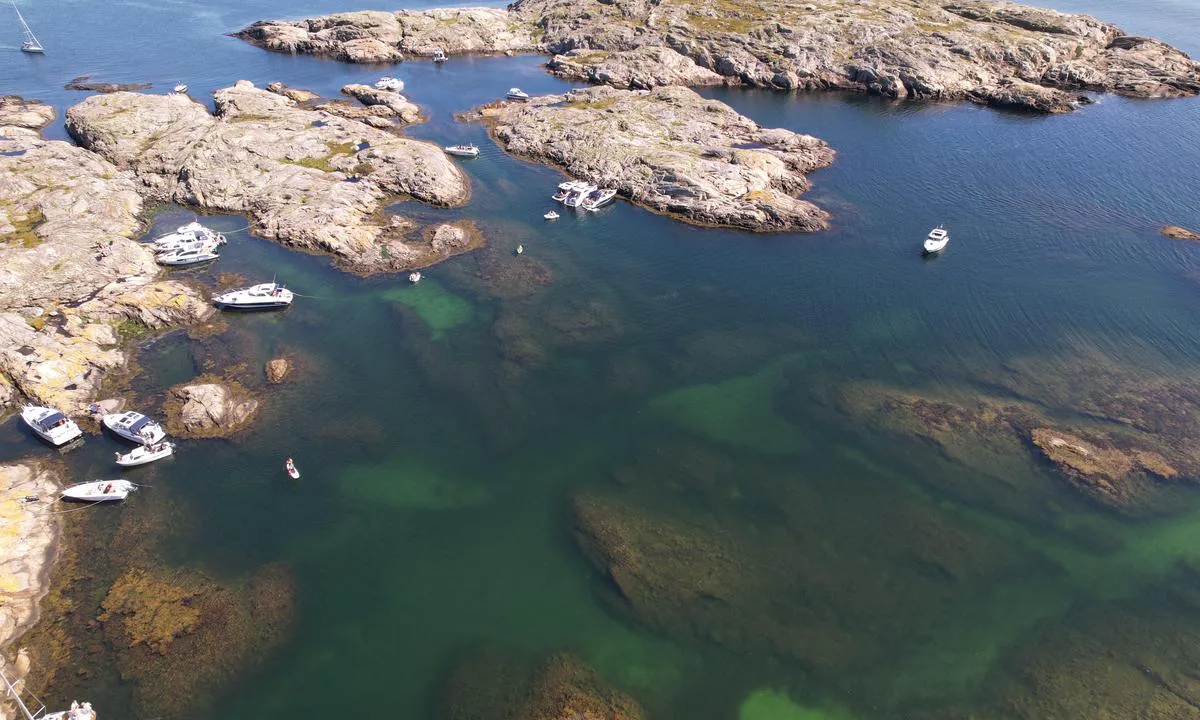
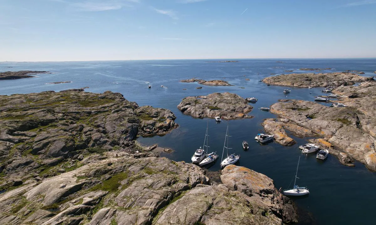
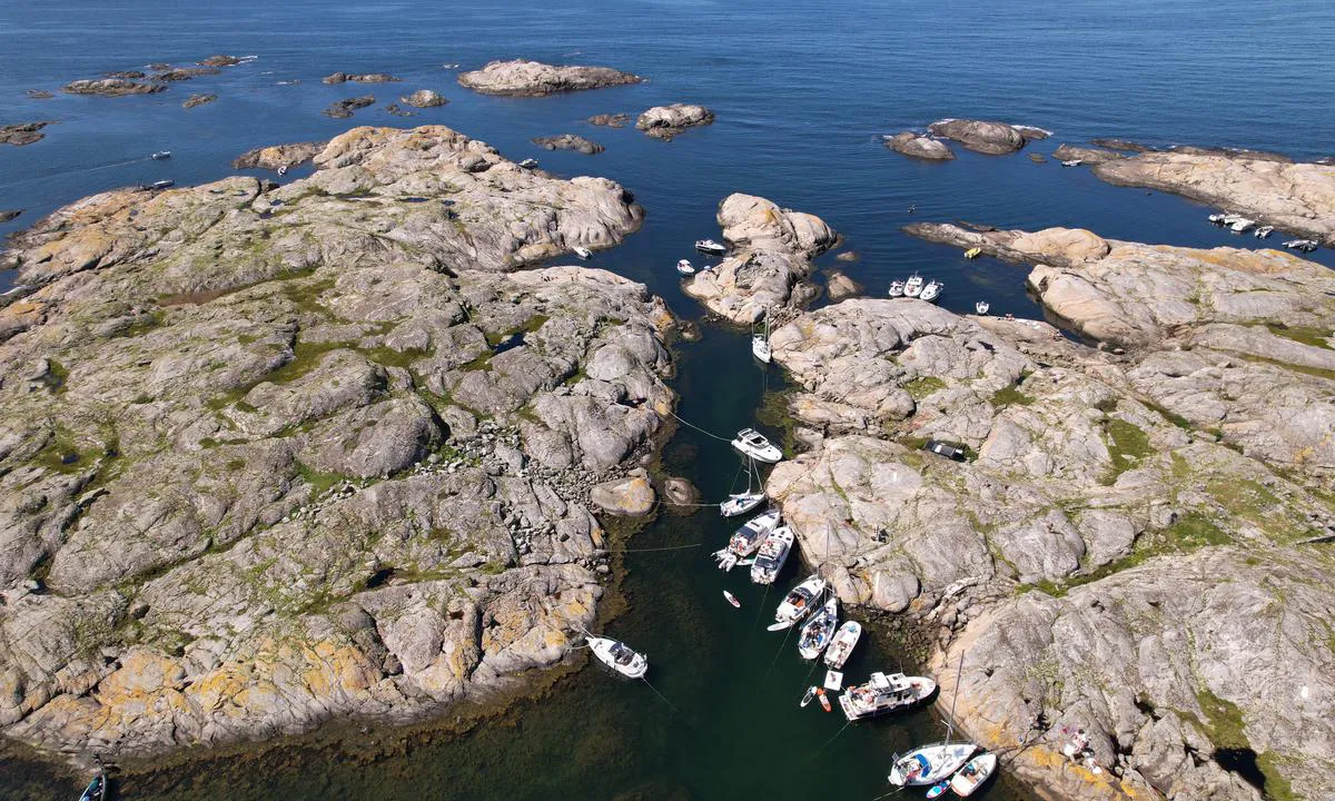
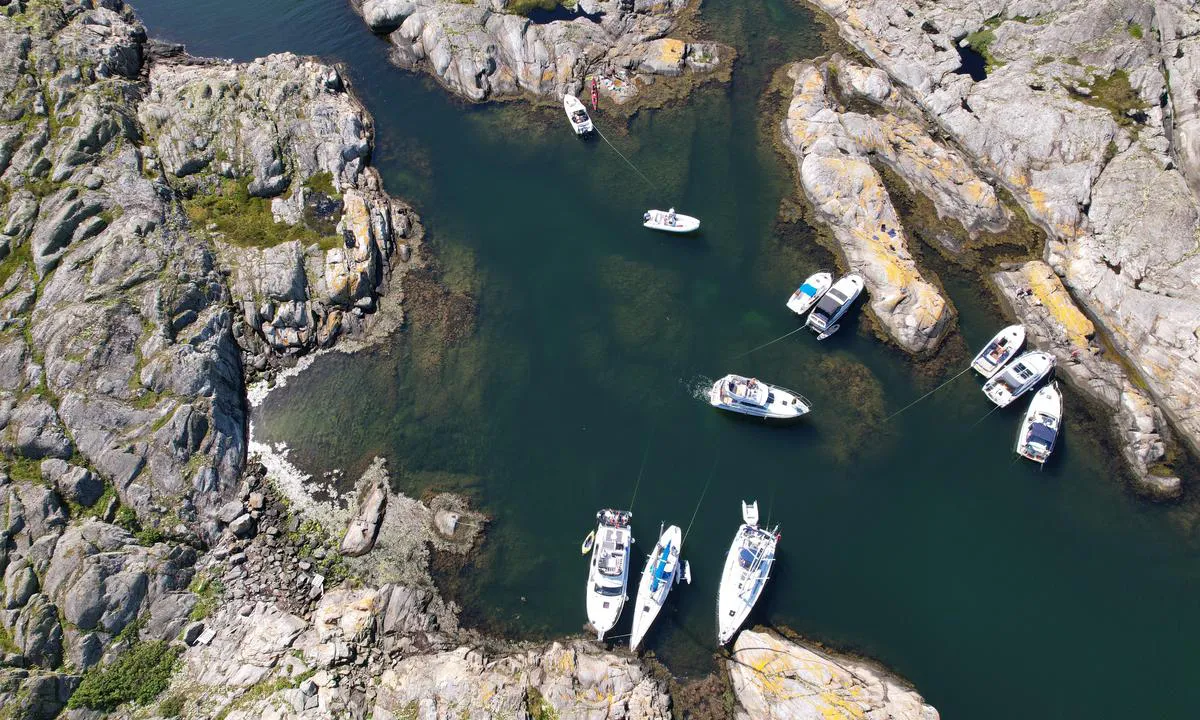
Altarholmen - Kyrkesund
Natural harbour

Region: Sweden (2162), Västra Götaland (669), Västkusten (539), Bohuslän (510), Tjörn (68) and Kyrkesund (10)


Descriptions and reviews
Do you know this harbour? It's a huge help to other sailors if you add a short description or review of the harbour.
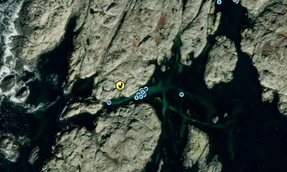
Map of Altarholmen - Kyrkesund

Wind protection
Protection next night
78 points


Want to know how the wind score works? Then you should read this explanation.
The wind forecasts come from yr.no (Norwegian Meteorological Institute), and was last updated 2 hours and 10 minutes ago (Friday 17 July 01:29 AM). The next night score shows you the worst hour between 22:00 and 08:00 the next night. We recommend that you check multiple sources for wind forecasts. windy.com is a good website to show larger wind systems.
The safe directions for this harbour was added at 21. Aug 2022. Click here to edit.
Last visits to Altarholmen - Kyrkesund
Fri 10 Jul 2026 |
|
|
Thu 09 Jul 2026 |
|
|
Sat 27 Jun 2026 |
|
|
|
|
Wed 17 Jun 2026 |
|
|
 MARTA [MMSI: 265037530]
 BACCARAT [MMSI: 265831390]
The visits are retrieved from AIS data. You can click to see all visiting ships to Altarholmen - Kyrkesund, as well as statistics about the ships that visits
Add this harbour to a journey
Choose a different date than today
Important: When you check in to a harbour, you add it to a journey on this website. You are not booking a place in the marina.
Contributors
Users that contributed to this page: Olav Pekeberg and Lars Hatletveit
harbourmaps.com is updated by the boating community. When you add information, a review or pictures to this page you are listed here with the other contributors (we list your user-name, which can be your real name or a pseudonym).
Closest harbours to Altarholmen - Kyrkesund
Filter by
Order by
0 harbours
Show more harbours
