


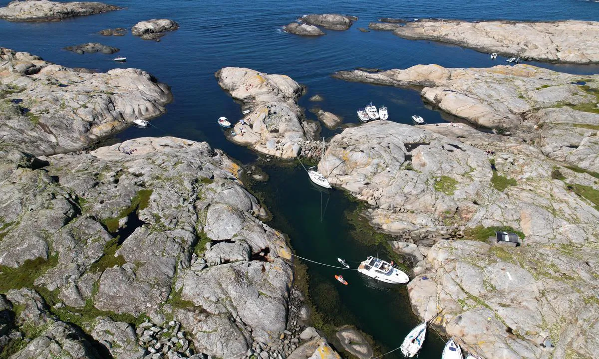
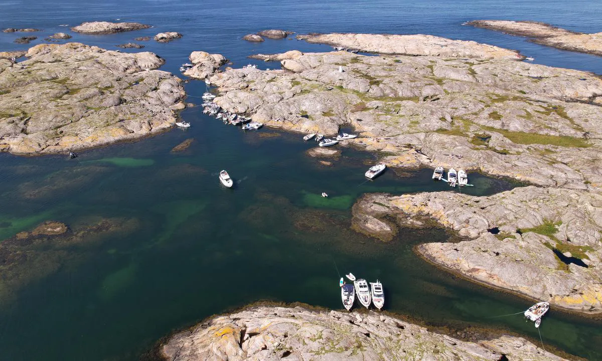
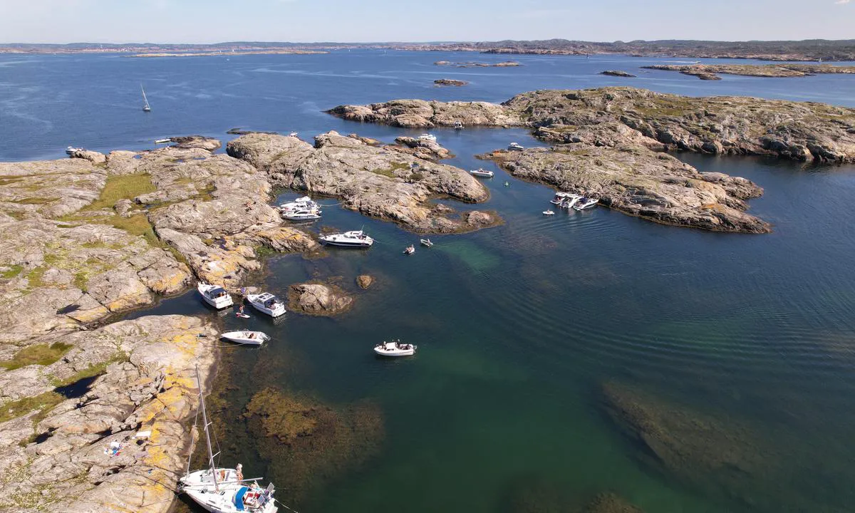
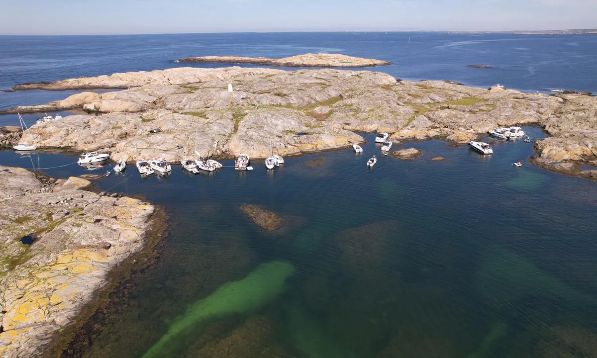
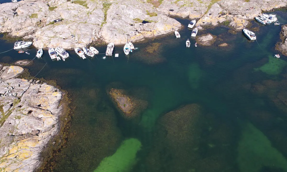
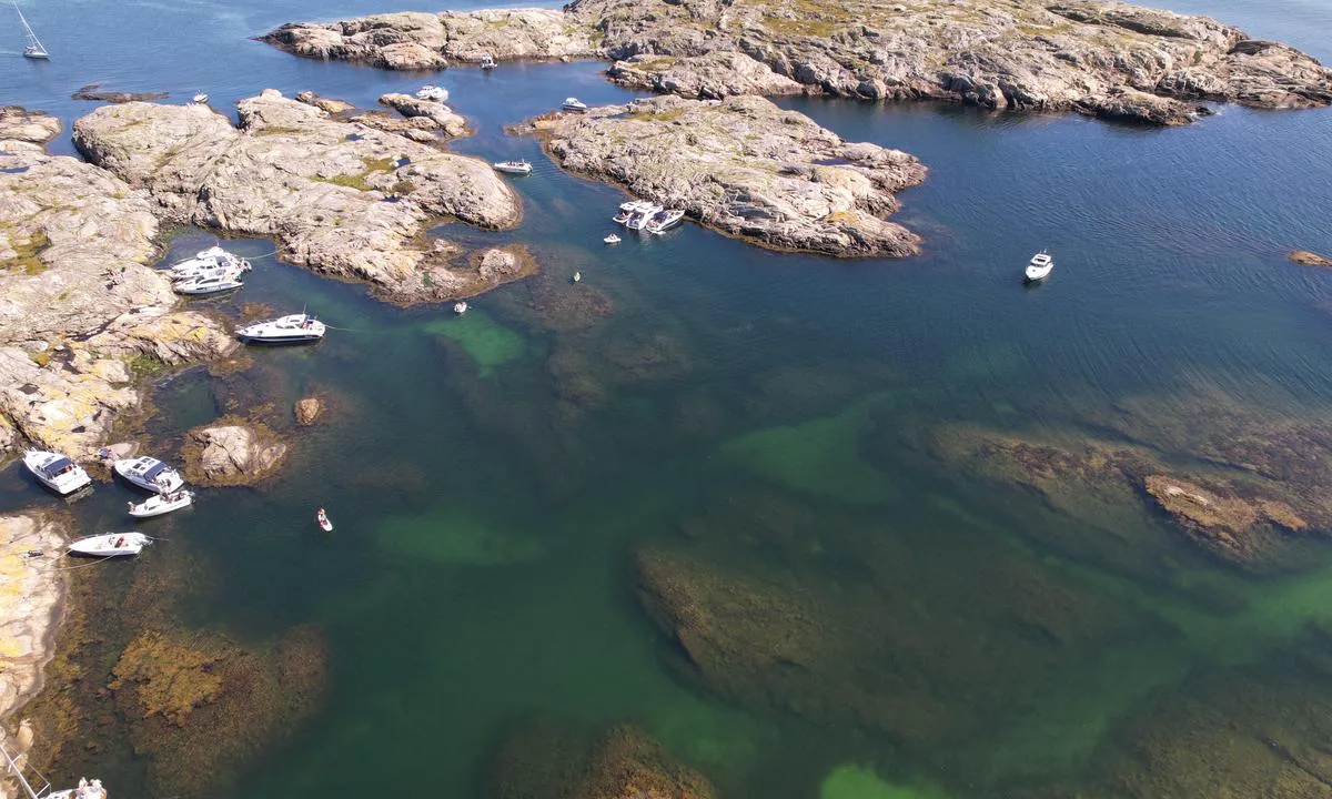
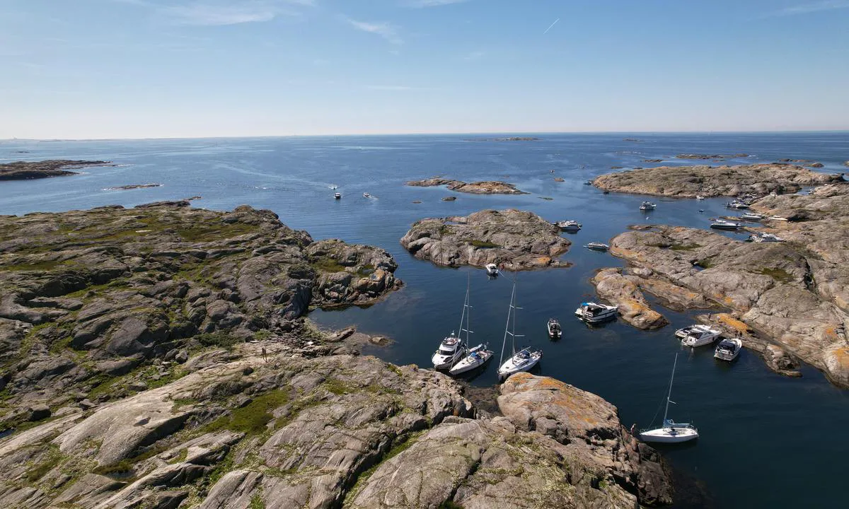
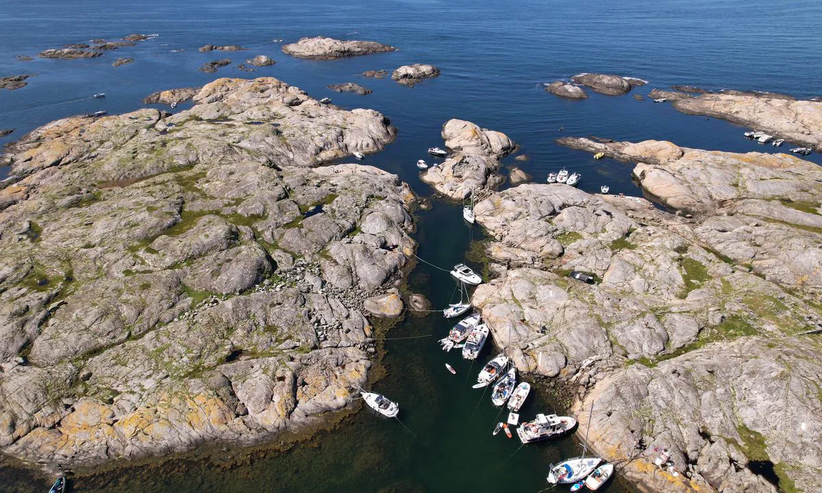
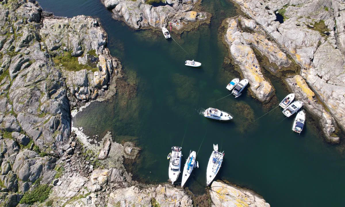
Altarholmen - Kyrkesund
Puerto natural

Region: Sweden (2165), Västra Götaland (670), Västkusten (540), Bohuslän (511), Tjörn (68) and Kyrkesund (10)


Descripciones y reseñas
¿Conoces este puerto? Es de gran ayuda para otros marineros si añades una breve descripción o reseña del puerto.
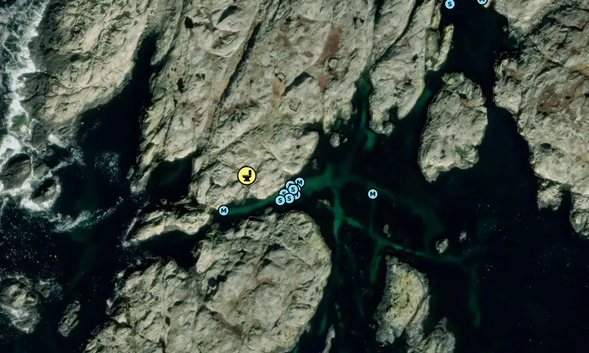
Mapa de Altarholmen - Kyrkesund

Protección contra el viento
Protección próxima noche
43 puntos


¿Quieres saber cómo funciona la puntuación del viento? Entonces deberías leer esta explicación.
Las previsiones del viento provienen de yr.no (Instituto Meteorológico Noruego), y se actualizaron por última vez 2 hours and 14 minutes ago (Sábado 18 Julio 13:33). La siguiente puntuación nocturna te muestra la peor hora entre las 22:00 y las 08:00 de la siguiente noche. Recomendamos que consultes varias fuentes para los pronósticos de viento.windy.com es un buen sitio web para mostrar sistemas eólicos más grandes.
Las direcciones seguras para este puerto se añadieron en 21. Aug 2022. Haga clic aquí para editar.
Últimas visitas a Altarholmen - Kyrkesund
Vie 10 Jul 2026 |
|
|
Jue 09 Jul 2026 |
|
|
Sáb 27 Jun 2026 |
|
|
|
|
Mié 17 Jun 2026 |
|
|
 MARTA [MMSI: 265037530]
 BACCARAT [MMSI: 265831390]
The visits are retrieved from AIS data. You can click to see all visiting ships to Altarholmen - Kyrkesund, as well as statistics about the ships that visits
Añadir este puerto a un viaje
Elija una fecha diferente a la de hoy
Importante: Cuando inicias sesión en un puerto, lo agregas a un viaje en este sitio web. No estás reservando un lugar en la marina.
Colaboradores
Usuarios que contribuyeron a esta página: Lars Hatletveit and Olav Pekeberg
harbourmaps.com es actualizado por la comunidad de navegantes. Cuando agregas información, una revisión o fotos a esta página, te enumeramos aquí con los otros contribuyentes (listamos tu nombre de usuario, que puede ser tu nombre real o un seudónimo).
Puertos más cercanos a Altarholmen - Kyrkesund
Filtrar por
Ordenar por
0 puertos
Mostrar más puertos
