


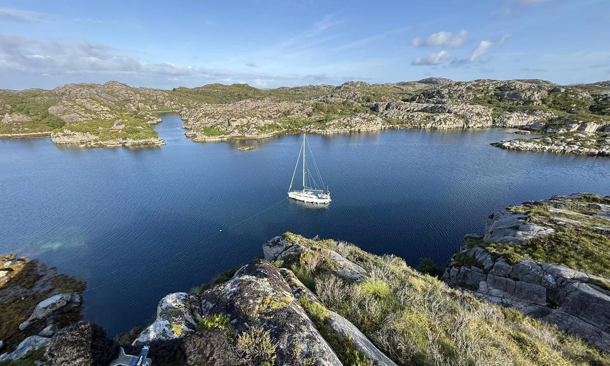
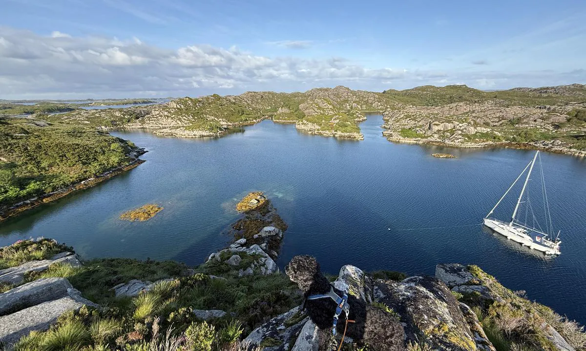
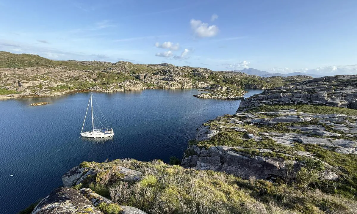
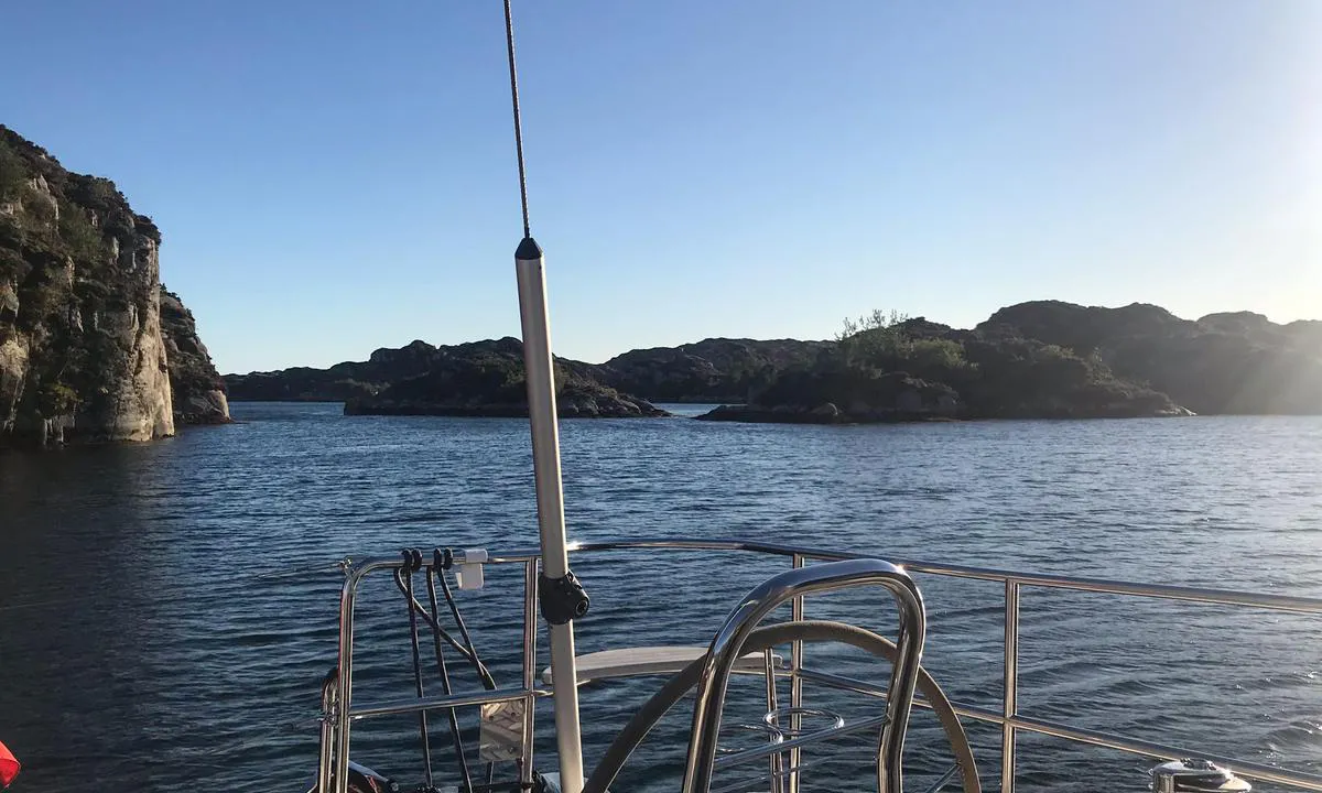
Hestenesvågen
Natural harbour

Region: Norway (3471), Vestland (611), Sogn og Fjordane (220), Gulen (30) and Mjømna (6)


Descriptions and reviews
Havgapen says:
says:
area


maritime qualities
description
A small anchorage, hard to find, used as hide-away during WW2. Not much space, recommended for boats up to 40 feet or so.

1 x helpful | written on 18. Jun 2023
Do you know this harbour? It's a huge help to other sailors if you add a short description or review of the harbour.
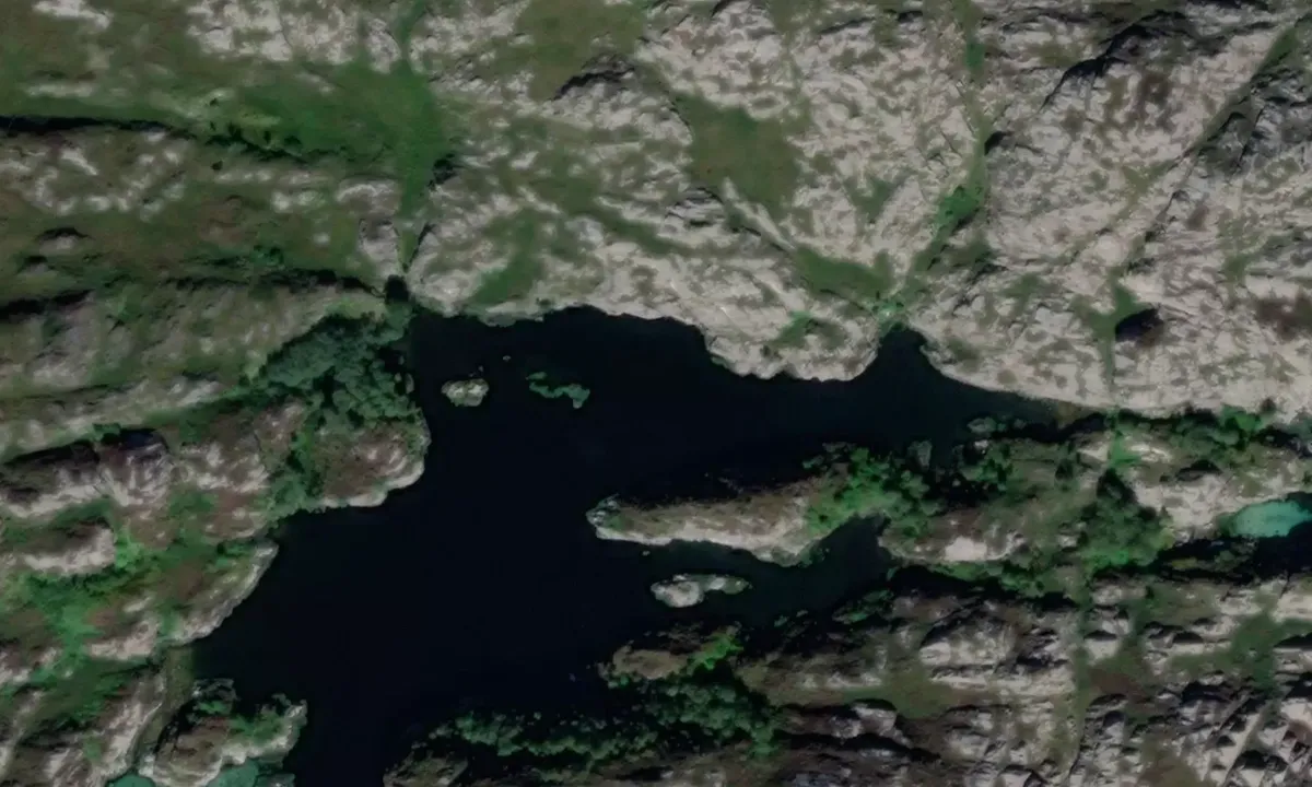
Map of Hestenesvågen

Wind protection
Protection next night
54 points


Want to know how the wind score works? Then you should read this explanation.
The wind forecasts come from yr.no (Norwegian Meteorological Institute), and was last updated 2 hours and 21 minutes ago (Sunday 28 June 09:27 PM). The next night score shows you the worst hour between 22:00 and 08:00 the next night. We recommend that you check multiple sources for wind forecasts. windy.com is a good website to show larger wind systems.
The safe directions for this harbour was added at 13. Jul 2021. Click here to edit.
Last visits to Hestenesvågen
The visits are retrieved from AIS data. You can click to see all visiting ships to Hestenesvågen, as well as statistics about the ships that visits
Add this harbour to a journey
Choose a different date than today
Important: When you check in to a harbour, you add it to a journey on this website. You are not booking a place in the marina.
Contributors
Users that contributed to this page: Havgapen and Geir Larsen
harbourmaps.com is updated by the boating community. When you add information, a review or pictures to this page you are listed here with the other contributors (we list your user-name, which can be your real name or a pseudonym).
Closest harbours to Hestenesvågen
Filter by
Order by
0 harbours
Show more harbours
