


Høgøya
Natural harbour

Region: Norway (3487), Trøndelag (307), Sør-Trøndelag (178), Frøya (24) and Mausund (6)


Descriptions and reviews
Olav Pekeberg
 says:
says:
description
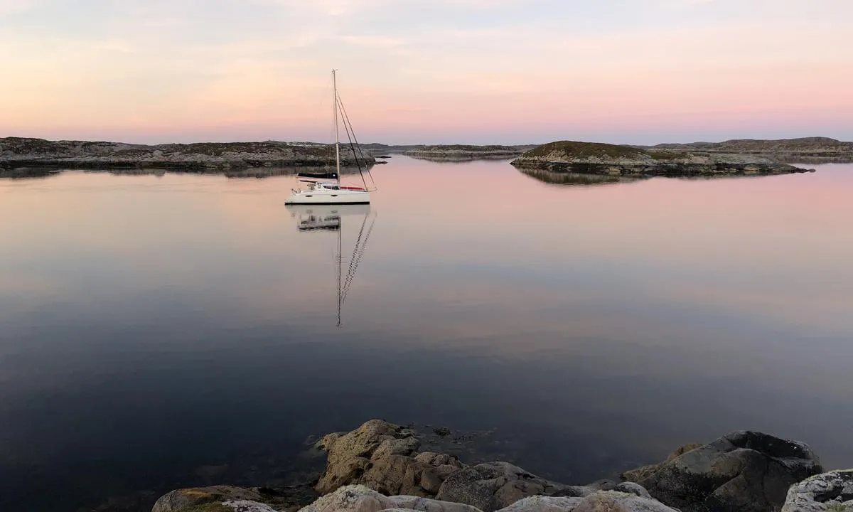
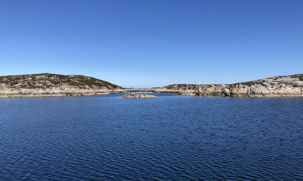
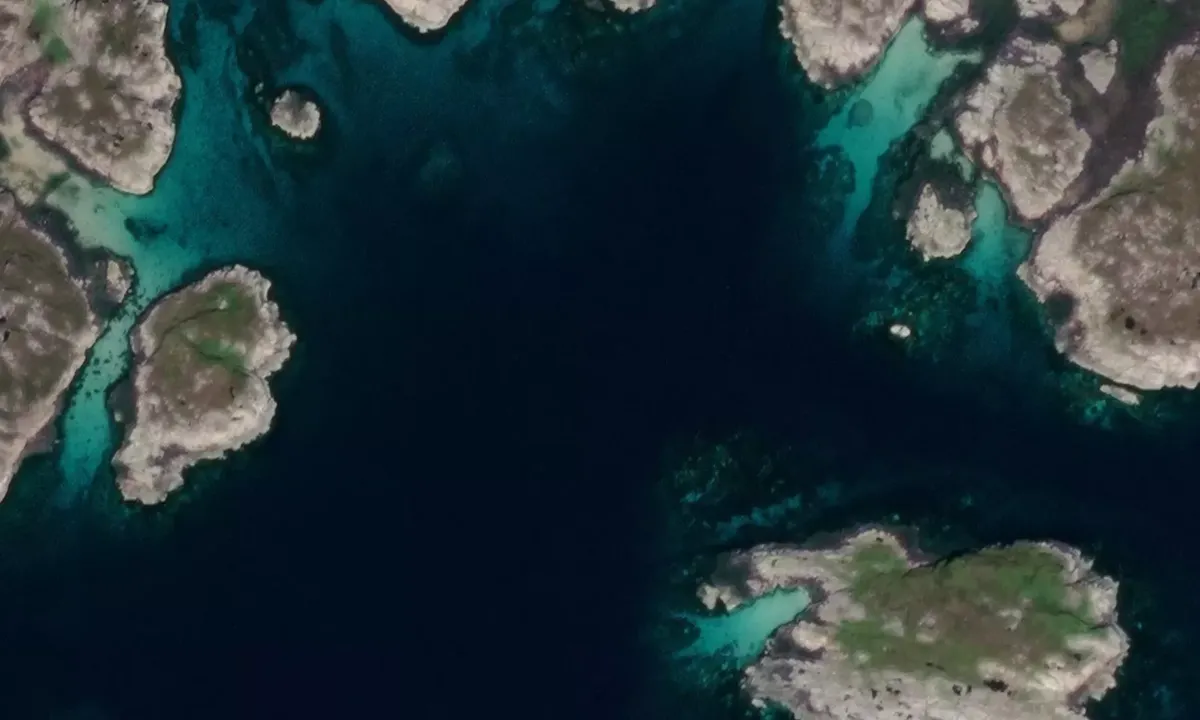
Entry and Maritime Conditions: The anchorage at Høgøya is located in the archipelago north of Frøya, approximately 2nm west of Mausund. The anchorage is on the inside of a series of small islets and islands, which almost form a bay. You are well sheltered from the sea here, but the surrounding islands are low and offer less protection from the wind. The waters are generally unclean in the area, and you must navigate using GPS. There is no marked channel to the anchorage. When the anchorage was tested in early June 2021, there were sea eagles perched on several of the nearest islets.
Anchoring: Anchoring depth 15-18 meters.
[translated from Norwegian with AI]

0 x helpful | written on 2. Jun 2021
Do you know this harbour? It's a huge help to other sailors if you add a short description or review of the harbour.
Map of Høgøya

Wind protection
Protection next night
79 points


Want to know how the wind score works? Then you should read this explanation.
The wind forecasts come from yr.no (Norwegian Meteorological Institute), and was last updated 1 hour and 8 minutes ago (Monday 06 July 07:29 AM). The next night score shows you the worst hour between 22:00 and 08:00 the next night. We recommend that you check multiple sources for wind forecasts. windy.com is a good website to show larger wind systems.
The safe directions for this harbour was added at 17. Jun 2021. Click here to edit.

Høgøya and/or the surrounding seas is not well protected from strong winds and waves, and you should take caution in foul weather. Click to edit protection level.
Last visits to Høgøya
The visits are retrieved from AIS data. You can click to see all visiting ships to Høgøya, as well as statistics about the ships that visits
Add this harbour to a journey
Choose a different date than today
Important: When you check in to a harbour, you add it to a journey on this website. You are not booking a place in the marina.
Contributors
Users that contributed to this page: Olav Pekeberg
harbourmaps.com is updated by the boating community. When you add information, a review or pictures to this page you are listed here with the other contributors (we list your user-name, which can be your real name or a pseudonym).
Closest harbours to Høgøya
Filter by
Order by
0 harbours
Show more harbours
